


|
|
|
|
|
|
| Brian McMorrow | profile | all galleries >> Europe >> Faroe Islands >> Bor∂oy - Vi∂oy - Kunoy | tree view | thumbnails | slideshow |
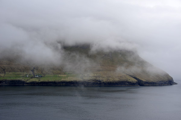
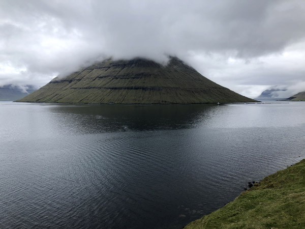 Southern end of the island of Kunoy from Bor∂oy, Faroe Islands |
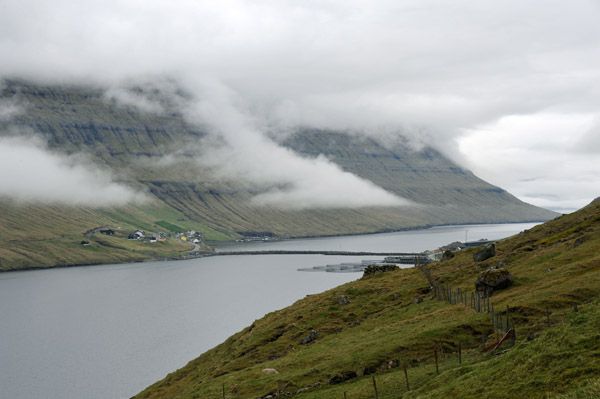 The bridge from Bor∂oy to Kunoy, Faroe Islands |
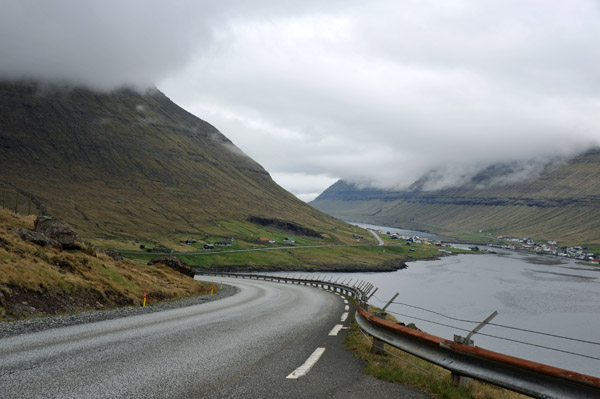 East coastal road of Bor∂oy, Faroe Islands |
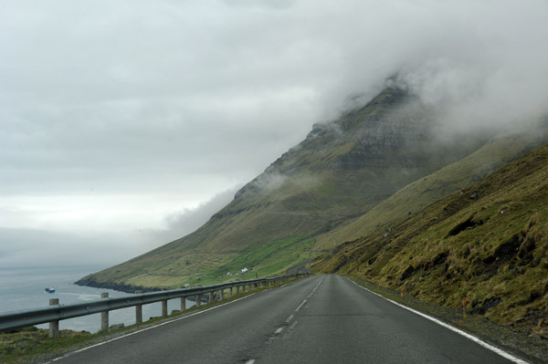
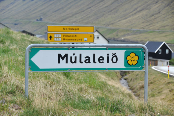 M�lalei∂ Scenic Route, Bor∂oy, Faroe Islands |
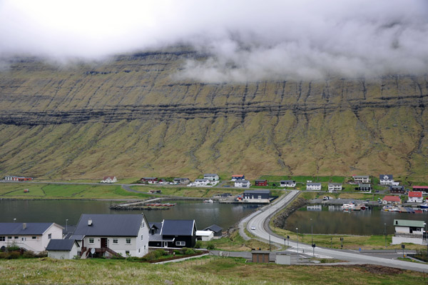 Bridge from Bor∂oy to Hvannasund, Vi∂oy, population 248 |
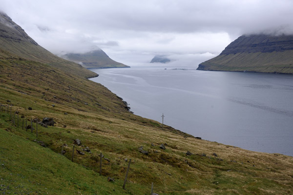 Channel between Bor∂oy and Vi∂oy, M�lalei∂ Scenic Route |
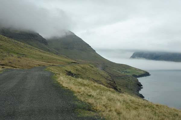
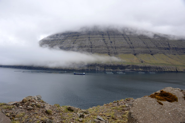
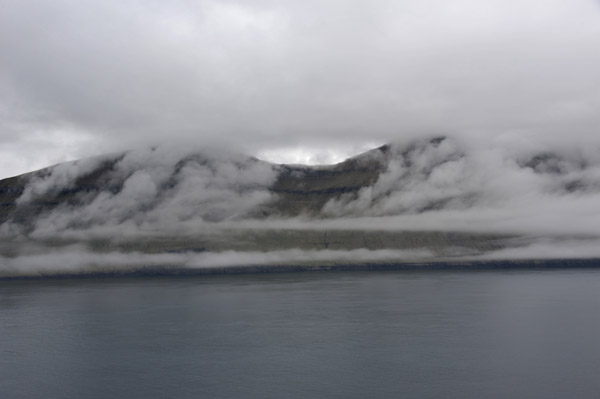
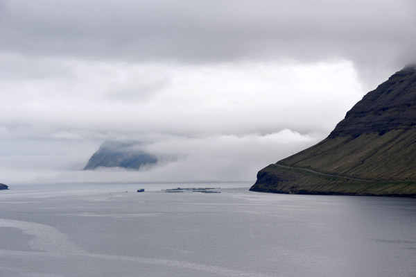 Thick sea fog obscuring the north end of Vi∂oy, Faroe Islands |
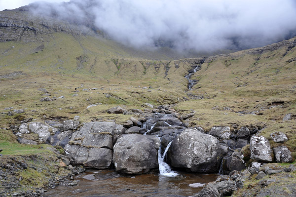
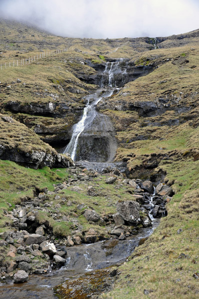 Small cascading waterfall, Bor∂oy |
 M�lalei∂ Scenic Route, Bor∂oy, Faroe Islands |
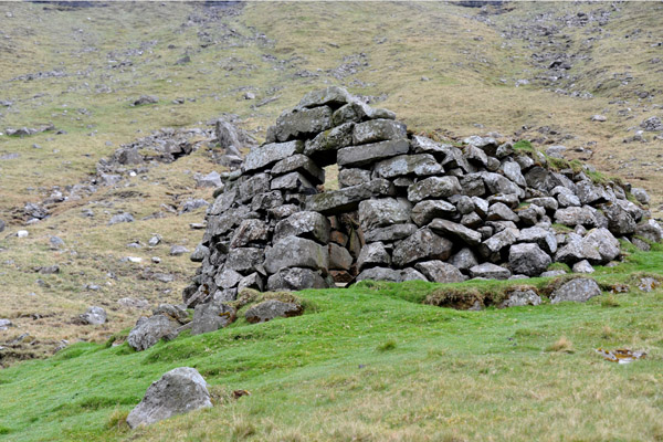 Ruins of a stone building of indeterminate age, M�lalei∂ Bor∂oy |
 M�lalei∂ Scenic Route, Bor∂oy, Faroe Islands |
 Village of M�li, population 0, the end of the road up the east coast of Bor∂oy |
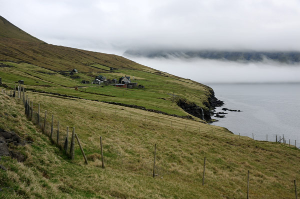
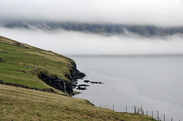 Northeast end of Bor∂oy with a waterfall and sea fog in the channel to Vi∂oy |
 The channel between Bor∂oy and Vi∂oy, Channel Islands |
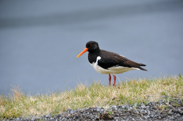 Tjaldur - Eurasian oystercatcher (Haematopus ostralegus), national bird of the Faroe Islands |
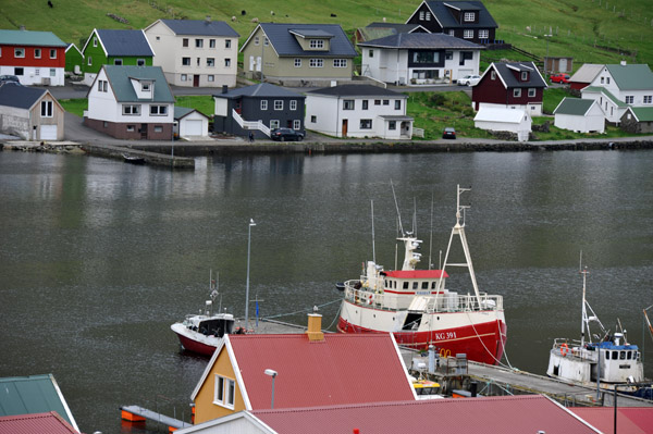
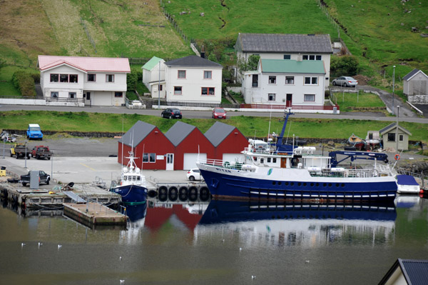 Fishing trawler Ritan tied up at Hvannasund, Vi∂oy |
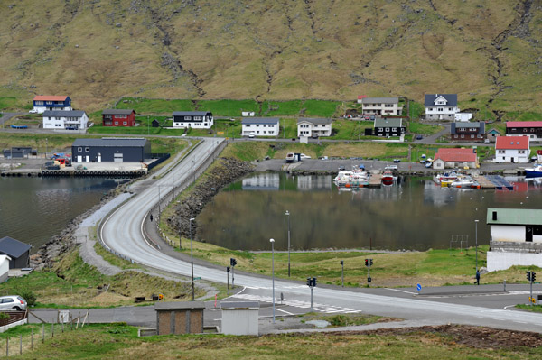 Bridge from Norddepil on Bor∂oy to Hvannasund on Vi∂oy |
 The channel between Bor∂oy and Vi∂oy, Faroe Islands |
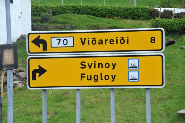 Vi∂arei∂i, the settlement at the north end of Vi∂oy, Faroe Islands |
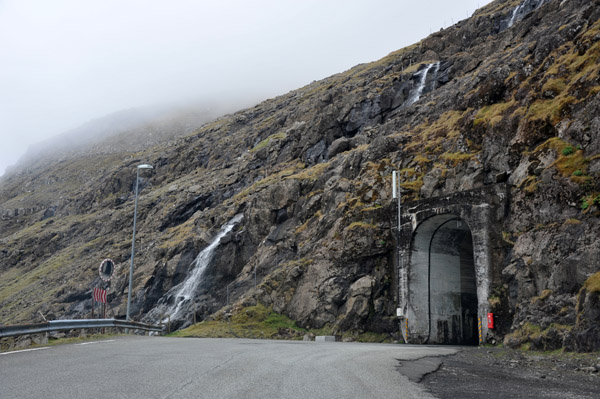
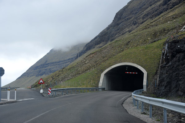 Vi�arei�istunnilin, 1939m tunnel opened in 2016 to avoid a dangerous section of coastal road, Vi∂oy |
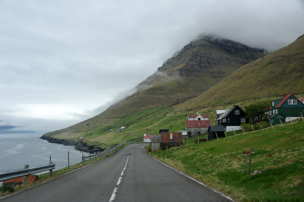
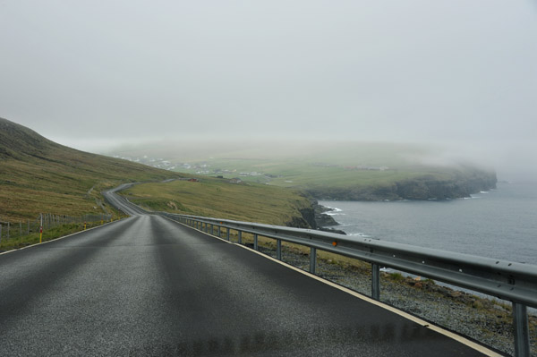 East coastal road of Vi∂oy, Faroe Islands |
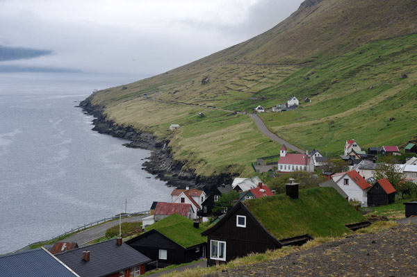
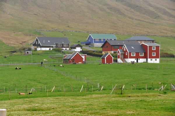 Vi�arei�i, population 352, the northernmost settlement in the Faroe Islands |
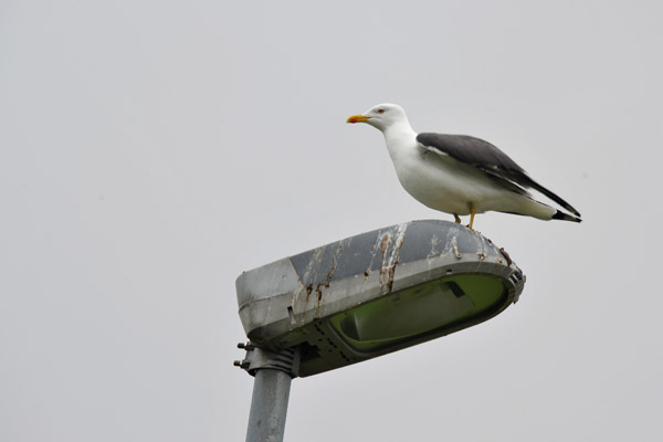 Some kind of seagull perched on a lamppost, Vi�arei�i |
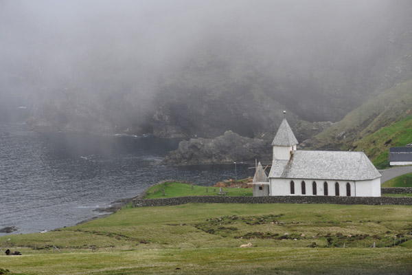 Vi�arei�i Kirkja, 1892, Vi∂oy, Faroe Islands |
 North end of Bor∂oy with low clouds, Faroe Islands |
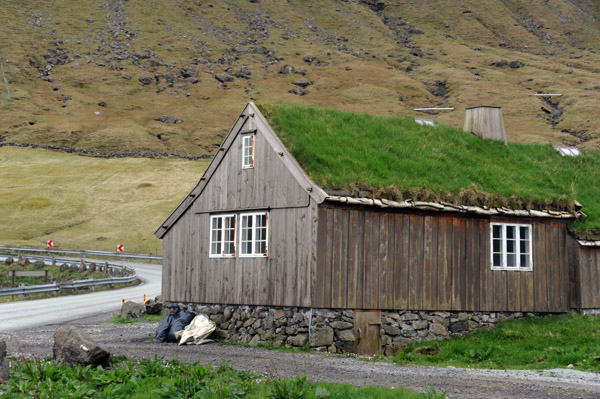 Turf roofed house in Depil, population 3, Bor∂oy |
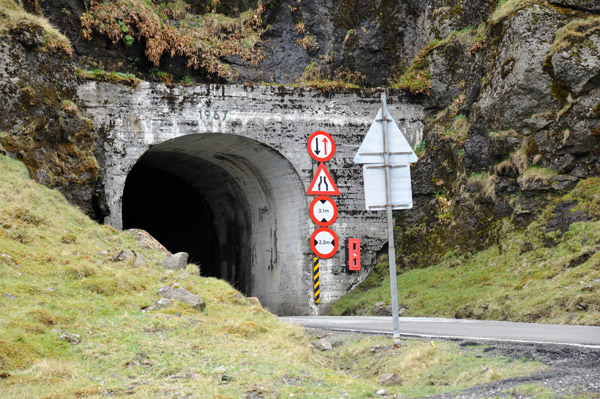
 North entrance to the Hvannasundstunnilin, 2120m single lane opened in 1967 |
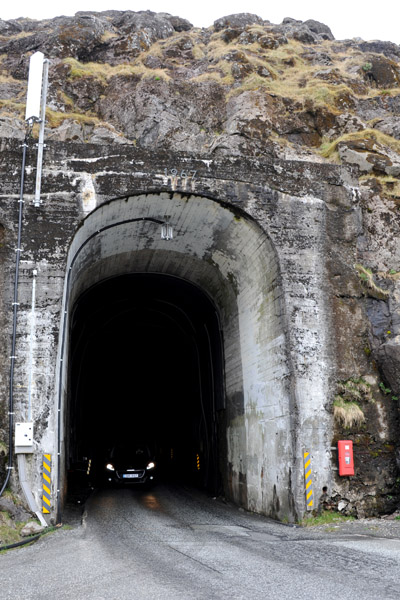 North entrance to the single lane Hvannasund Tunnel |
 Southeast bay on Bor∂oy from between the two tunnels |
 Waterfall between the two tunnels, Bor∂oy |
 East entrance of the �rnafjar�artunnilin, Bor∂oy |
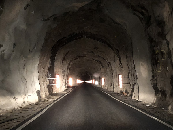 The �rnafjar�artunnilin just has a single lane so it's good there's not much traffic |
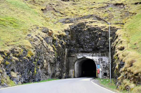 West entrance of the �rnafjar�artunnilin, a 1680m single lane tunnel opened in 1965 |
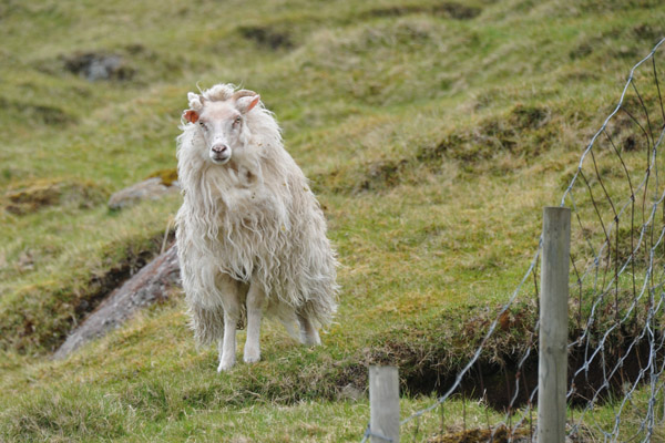 Faroe sheep in a pasture, Bor∂oy |
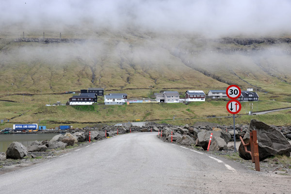 The causeway from Bor∂oy to the island of Kunoy, Faroe Islands |
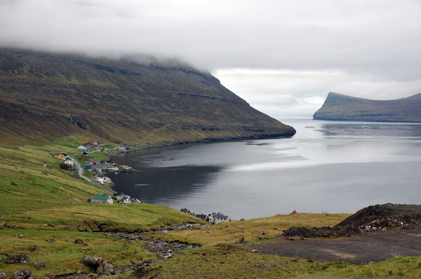
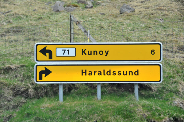 The island of Kunoy has two villages with a total population of 156 |
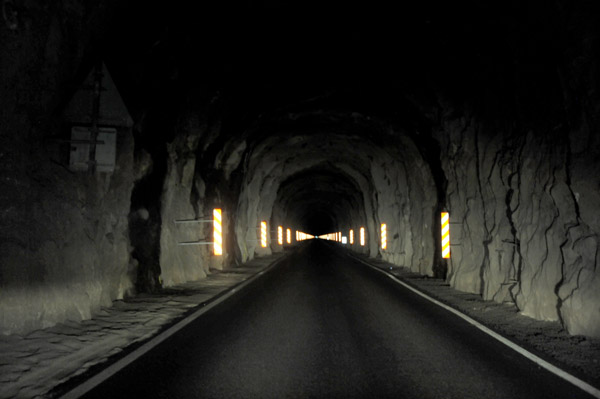 Kunoyartunnilin, 3031m opened in 1988, Kunoy, Faroe Islands |
 The road up the west coast of Kunoy |
 The island of Kalsoy with belts of fog and low clouds, Faroe Islands |
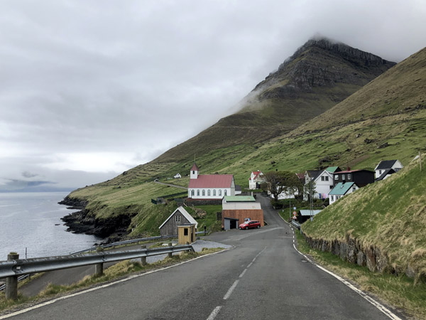
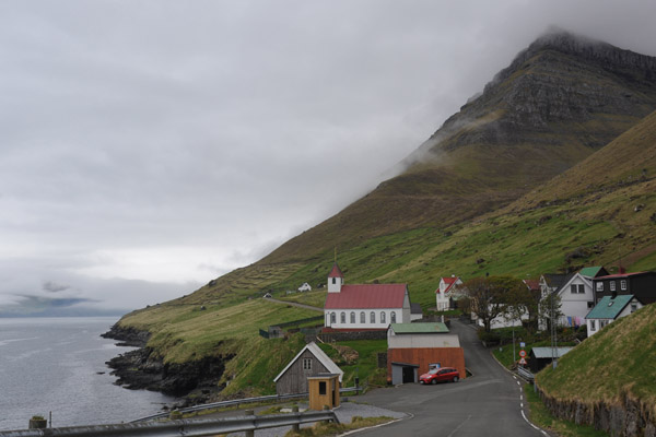
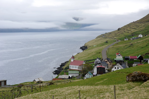
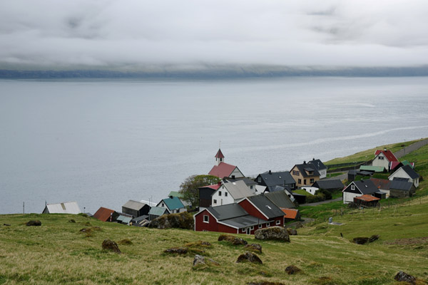
 The village of Kunoy, population 77, one of 2 settlements on the island |
 Kunoyarvegur, Kunoy, Faroe Islands |
 Kunoyarvegur, Kunoy, Faroe Islands |
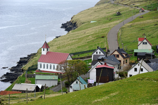
 Village of Kunoy, Faroe Islands |
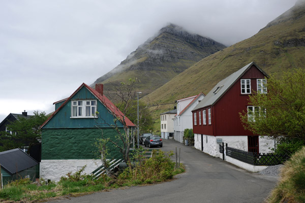 Village of Kunoy, Faroe Islands |
 Village of Kunoy, Faroe Islands |
 Village of Kunoy, Faroe Islands |
 Village of Kunoy, Faroe Islands |
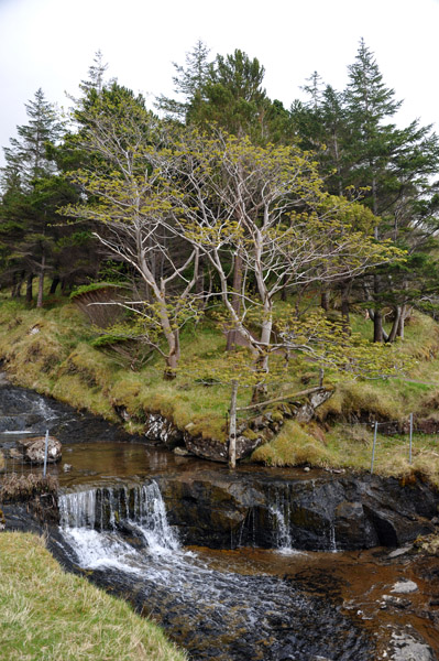 Kunoy Forest Park, Faroe Islands |
| comment | share |