


|
|
|
|
|
|
| Brian McMorrow | profile | all galleries >> Asia >> Philippines >> El Nido, Palawan >> ITI Flight from El Nido to Manila | tree view | thumbnails | slideshow |
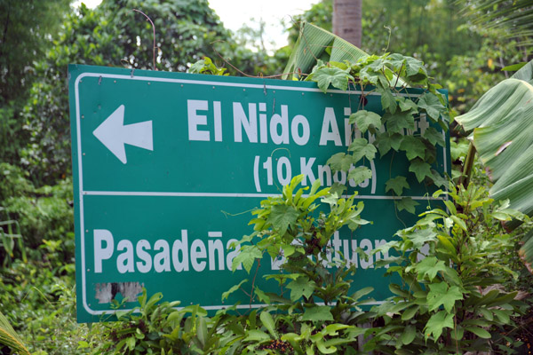 El Nido's tiny airport is a short distance from town |
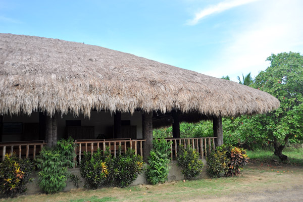
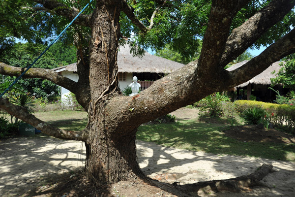
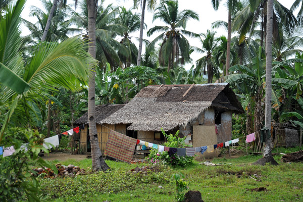 Thatched hut out near El Nido Airport, Palawan |
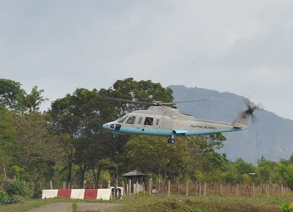 Philippine Air Force Sikorski S76 helicopter, El Nido |
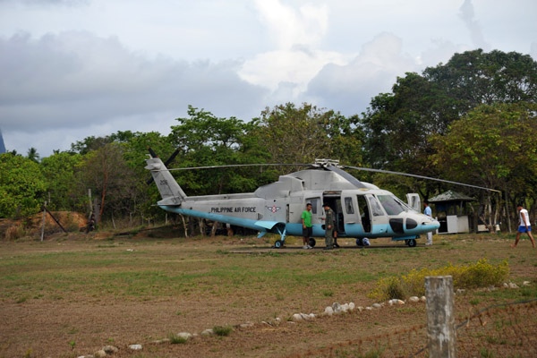 Philippine Air Force Sikorski S76 helicopter, El Nido |
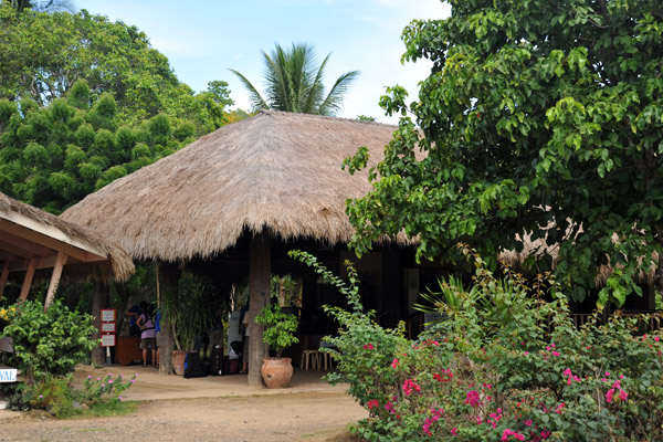
 The terminal at El Nido Airport |
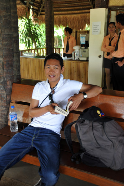 Waiting for our flight |
 El Nido is served by only 1 airline Island Transvoyager Inc (ITI) |
 ITI's flights are charters for El Nido Resorts |
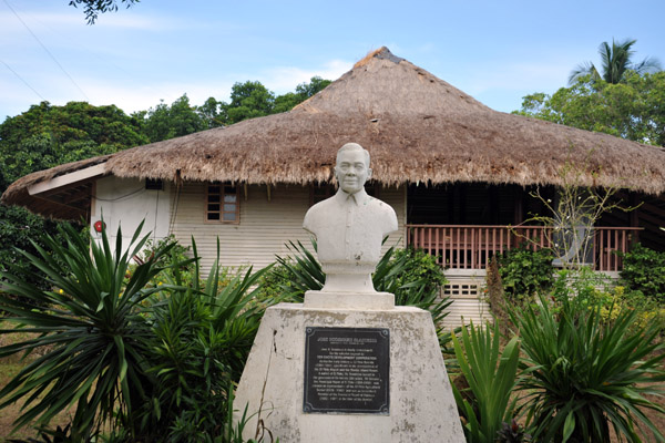 Jose Rodriguez Seastress (1925-1985) El Nido Airport |
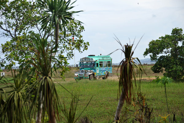 El Nido Resorts jeepney arriving |
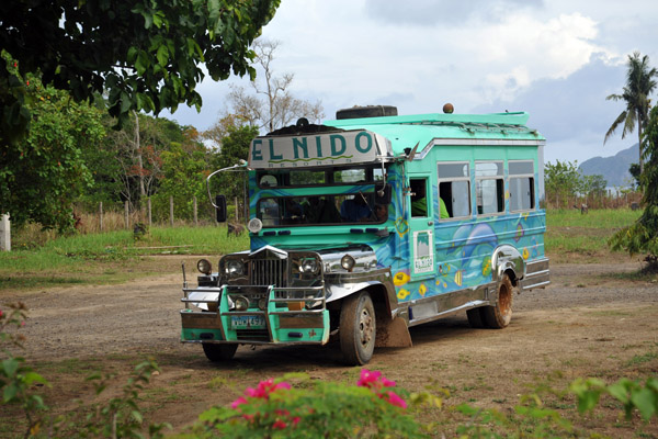 El NIdo Resorts jeepney at El Nido Airport |
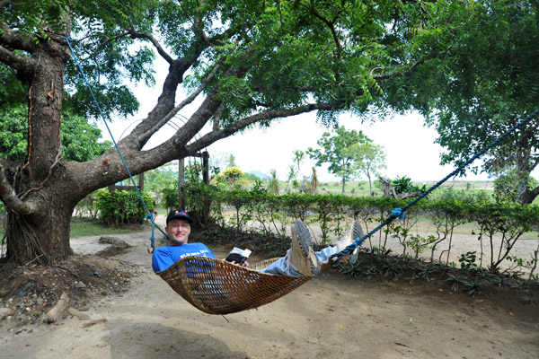 Waiting for our flight |
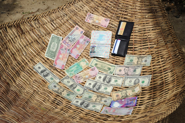 Finally getting the contents of my wallet to dry |
 El Nido Airport |
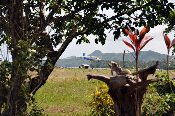 The ITI flight inbound from Manila |
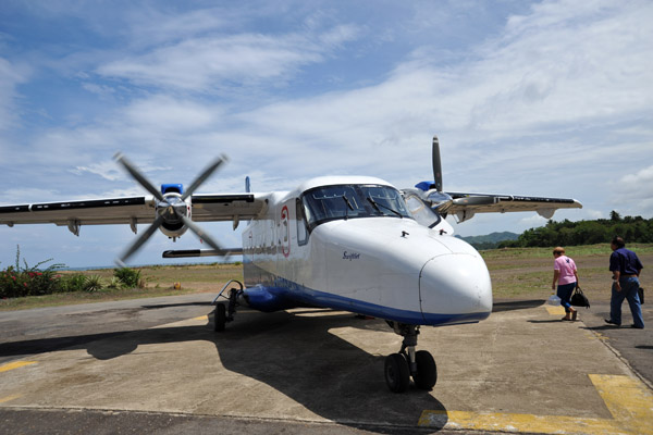
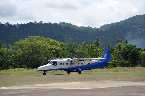 ITI Dornier 228 (RP-C2289) at El Nido |
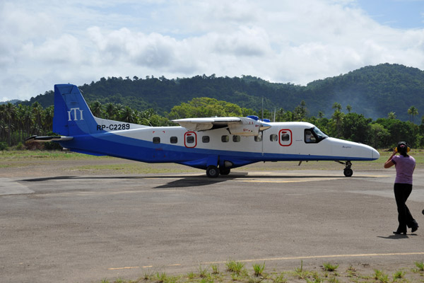 ITI Dornier 228 (RP-C2289) at El Nido |
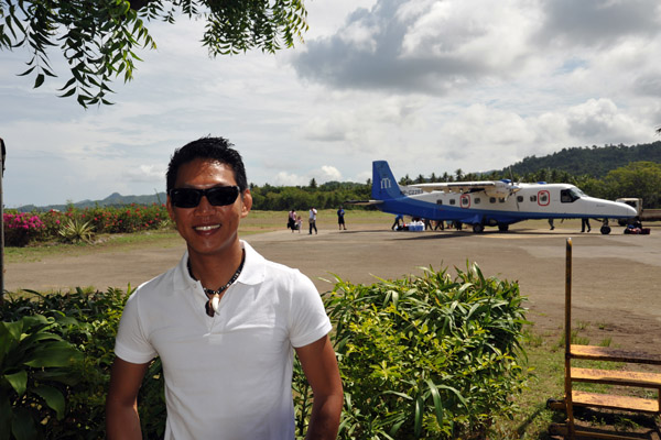 Dennis at El Nido Airport |
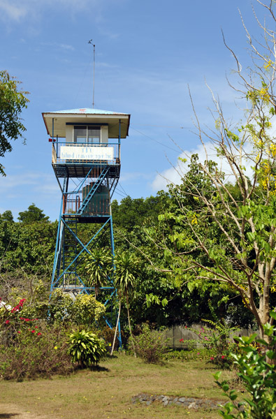 "Control Tower" El Nido |
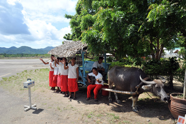 Musical sendoff |
 ITI Dornier 228 (RP-C2289) at El Nido |
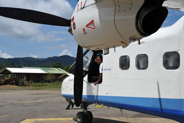 ITI Dornier 228 (RP-C2289) at El Nido |
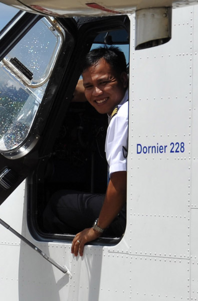 The ITI captain |
 Dennis |
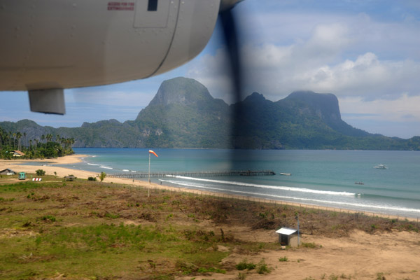 Departing El Nido |
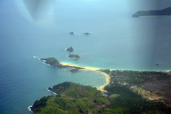
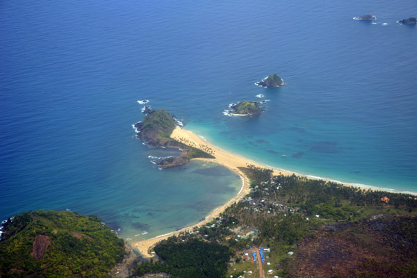
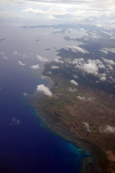
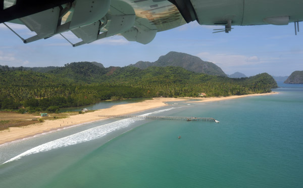 The long sandy beach by El Nido Airport |
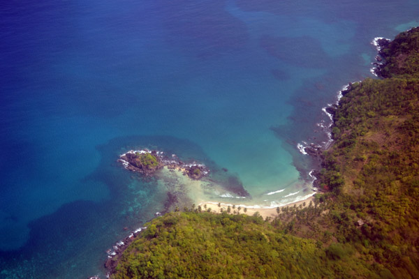
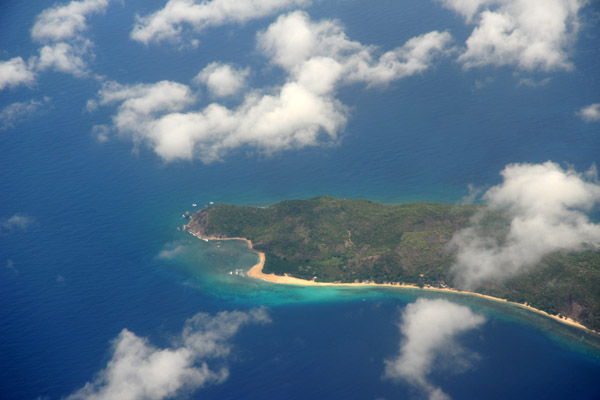
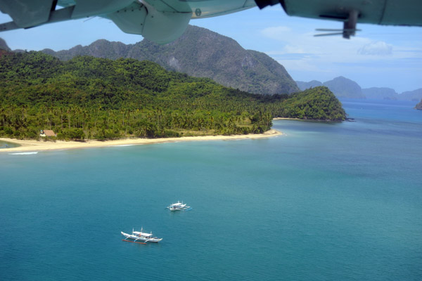 Ca'alan Beach, El Nido, Palawan, Philippines |
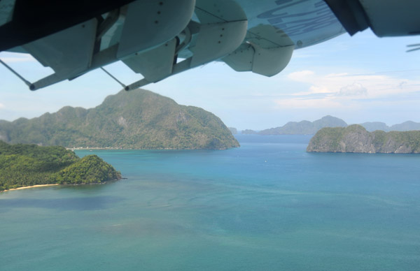
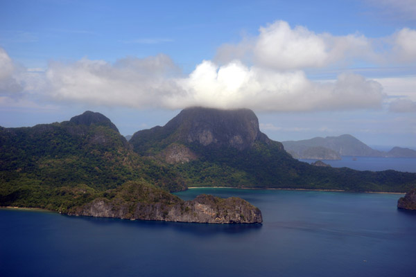
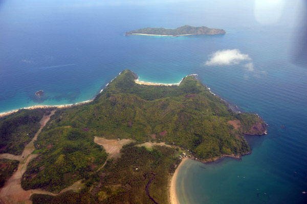
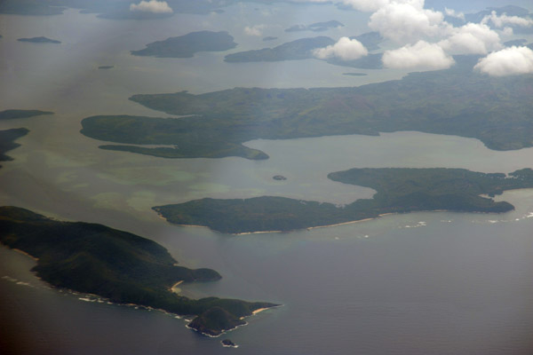
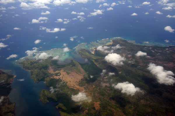
 Cadlao Island, Palawan, Philippines |
 Cadlao Island, Palawan, Philippines |
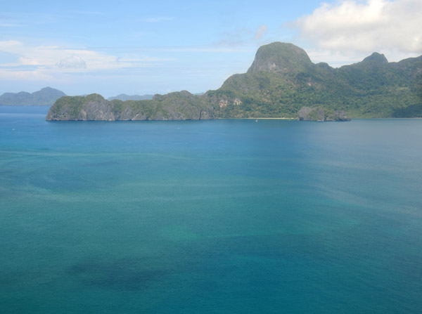
 El Nido Bay, Philippines |
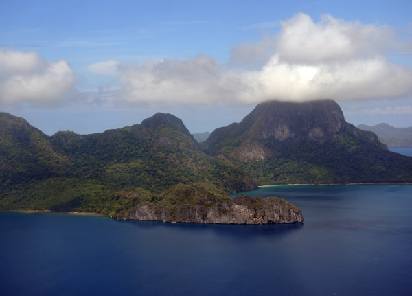
 Cadlao Island, Palawan, Philippines |
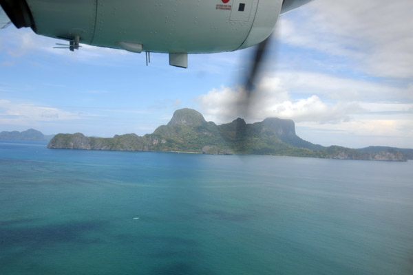
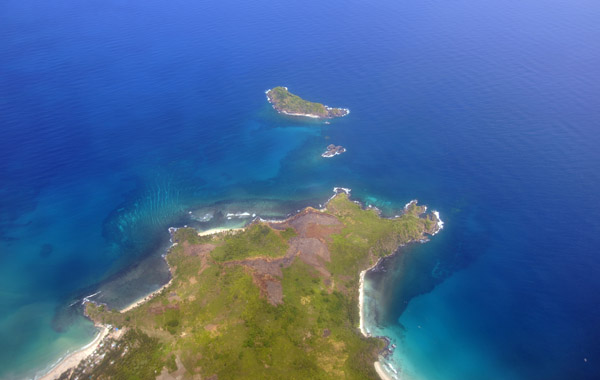
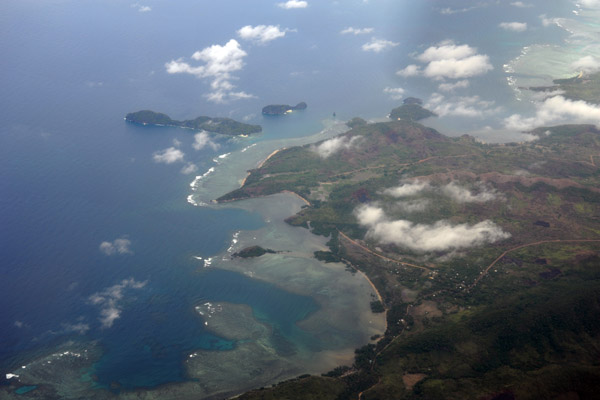
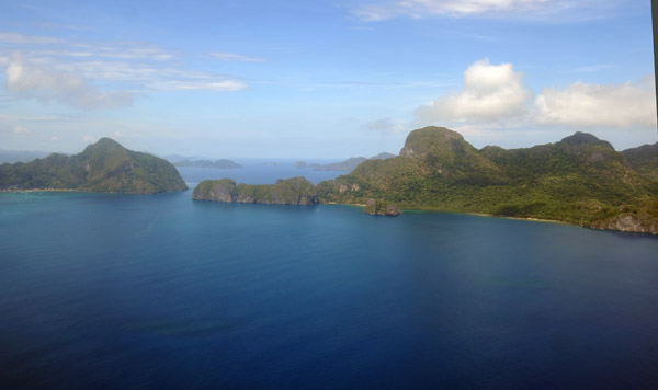 Cadlao Island and Helicopter Island, Palawan, Philippines |
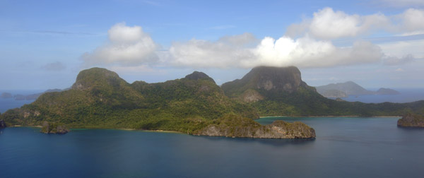 Cadlao Island, Palawan, Philippines |
 Cadlao Island, Palawan, Philippines |
 Cadlao Island, Palawan, Philippines |
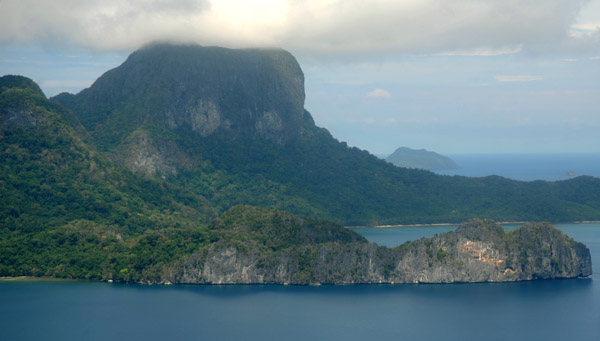
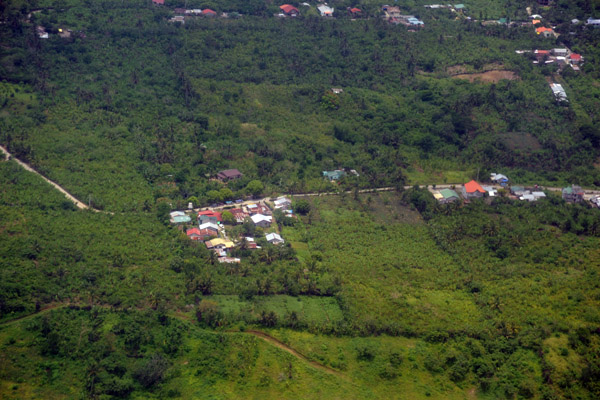
 Small beach on the northwest of Palawan (N11.27/E119.42) |
 Crowford Point and Nacpan Palawan, Philippines (N11.31/E119.42) |
 Crowford Point and Nacpan, Palawan, Philippines (N11.31/E119.42) |
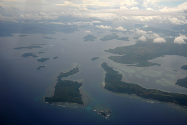
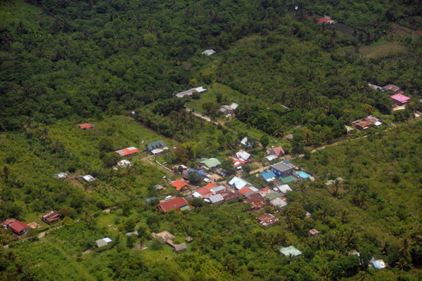
 Patuyo point, NW Palawan and Laluaya Island, Philippines |
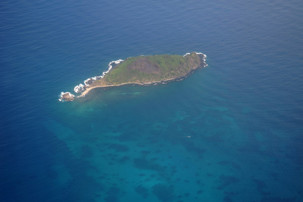 Diapila Island, Palawan, Philippines (N11.39/E119.46) |
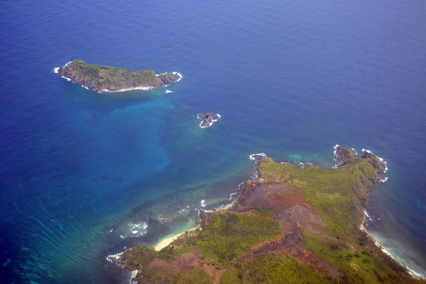 Libro Point, northern tip of Palawan with Calitan Island (N11.42/E119.48) |
 Libro Point, northern tip of Palawan with Calitan Island (N11.42/E119.48) |
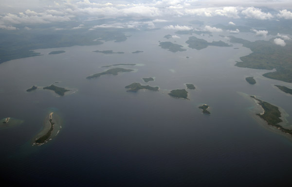
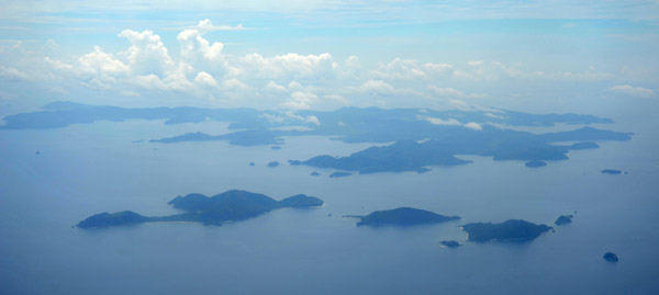 Linacpan Islands, between Palawan and Culion Island, Philippines |
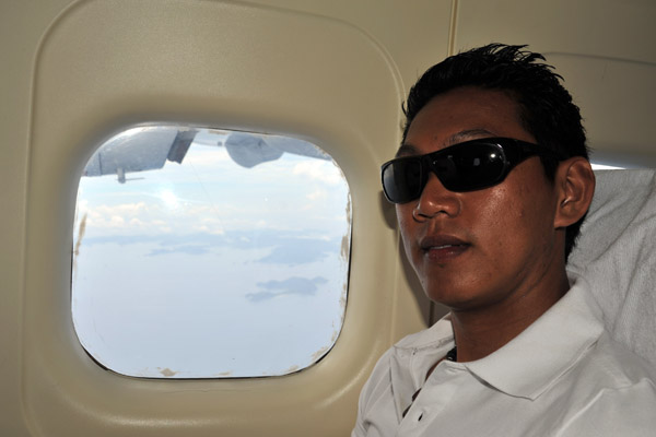 Dennis on the Dornier 228 |
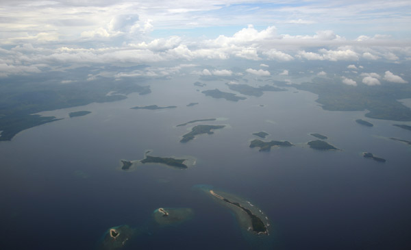
 Galoc Island and part of Culion Island, Philippines |
 Galoc Island and part of Culion Island, Philippines |
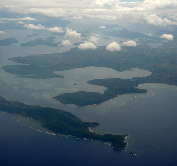
 Bay between Culion Island and Busuanga, Philippines |
 Coron Bay - The US Navy sank at least 11 Japanese ships here on 24 Sep 1944 |
 Coron Bay, Philippines - Busuanga on the left, Culion on the right |
 Northwestern Busuanga, Philippines |
 Caluit Island (game preserve and wildlife sanctuary) Philippines |
 North coast of Busuanga looking east, Philippines |
 Dimipac Island, Palawan, Philippines (N12.36/E119.90) |
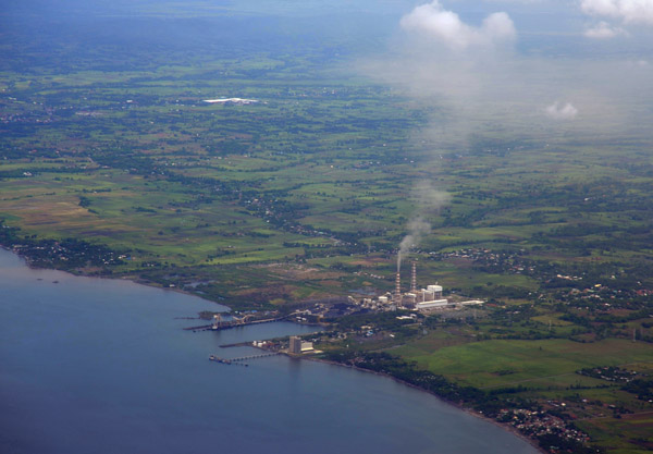 Powerplant on the southwestern coast of Luzon at Calaca (Batangas) Philippines (N13.93/E120.79) |
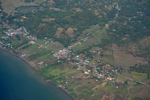 Southwest coast of Luzon, Philippines |
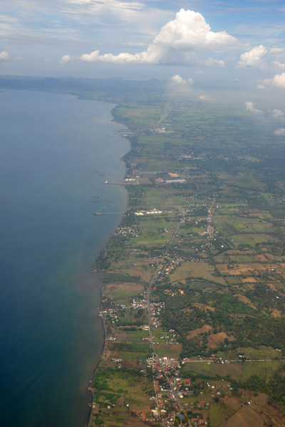 Southwest coast of Luzon, Philippines |
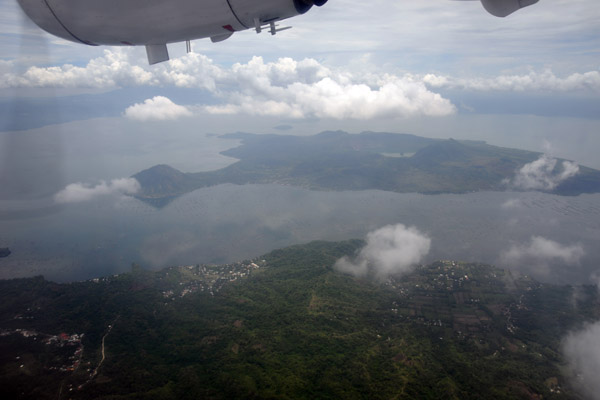 Taal Lake and volcano, Luzon, Philippines |
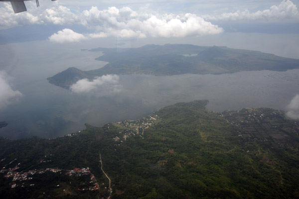 Taal Lake and volcano, Luzon, Philippines |
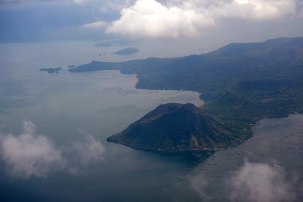 Taal Lake and volcano, Luzon, Philippines |
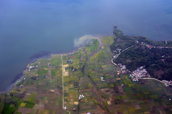 Paddies on the shores of Taal Lake, Laurel, Luzon, Philippines |
 Paddies on the shores of Taal Lake, Laurel, Luzon, Philippines |
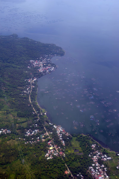
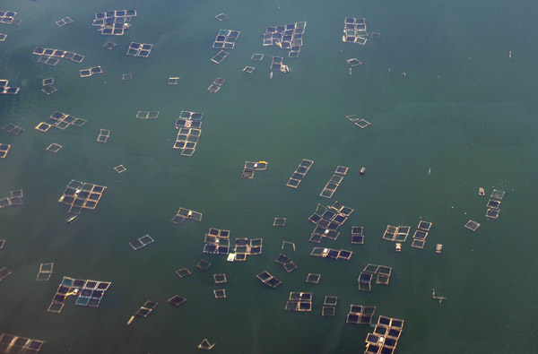 Fish farms, Lake Taal, Luzon, Philippines |
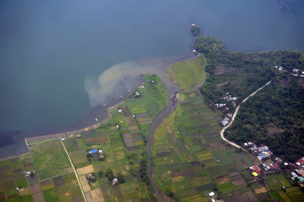
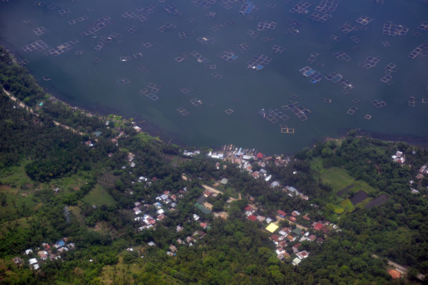
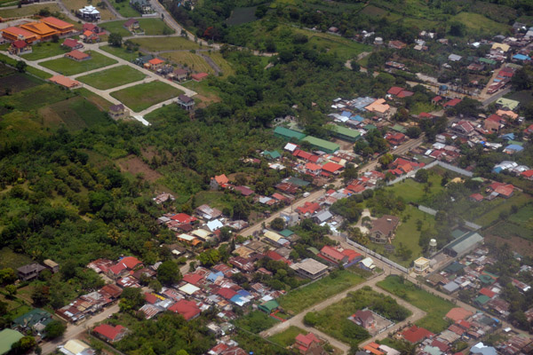
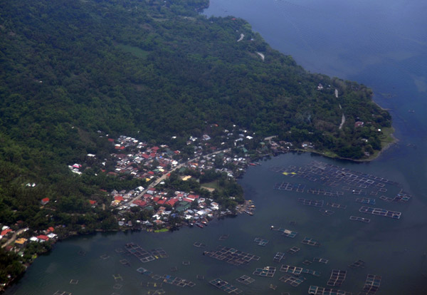 Barangay Buco, Lake Taal, Luzon, Philippines |
 Barangay Buco, Lake Taal, Luzon, Philippines |
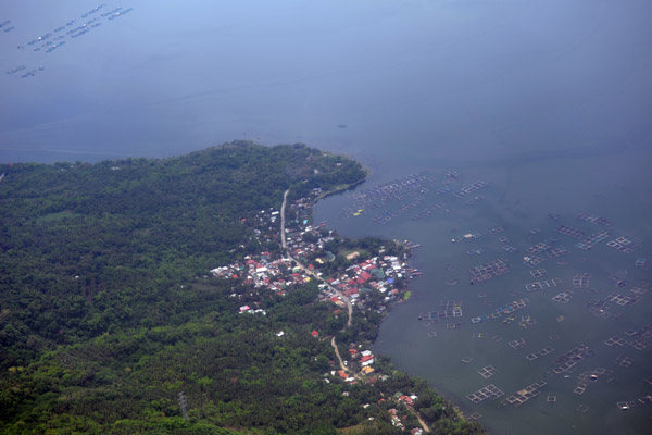
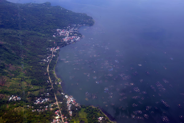 Northwest shore of Lake Taal, Luzon, Philippines |
 Northwest shore of Lake Taal, Luzon, Philippines |
 Northwest shore of Lake Taal, Luzon, Philippines |
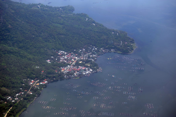
 Barangay Buco, Lake Taal, Luzon, Philippines |
 Tagaytay, Luzon, Philippines |
 Tagaytay, Luzon, Philippines |
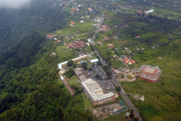
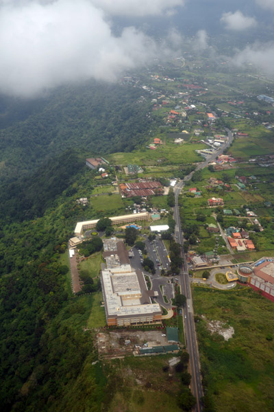
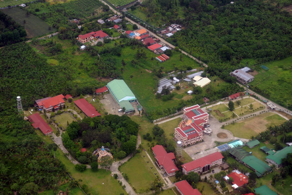
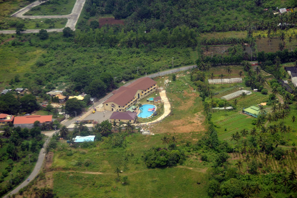
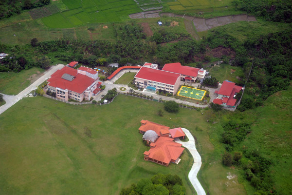
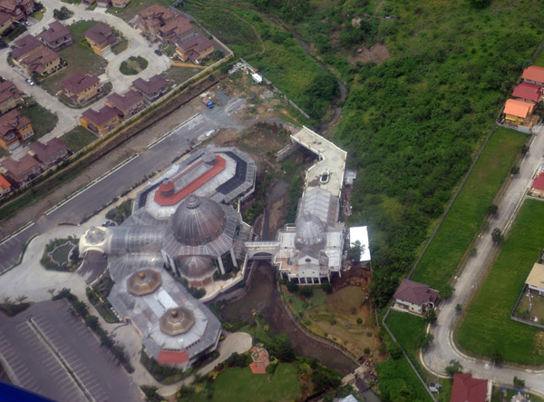
 Sports complex, Tagaytay City, Luzon, Philippines |
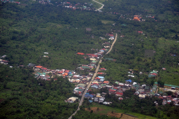
 Between Tagaytay and Silang, Luzon, Philippines |
 Between Tagaytay and Silang, Luzon, Philippines |
 Between Tagaytay and Silang, Luzon, Philippines |
 Between Tagaytay and Silang, Luzon, Philippines |
 Between Tagaytay and Silang, Luzon, Philippines |
 Between Tagaytay and Silang, Luzon, Philippines |
 Between Tagaytay and Silang, Luzon, Philippines |
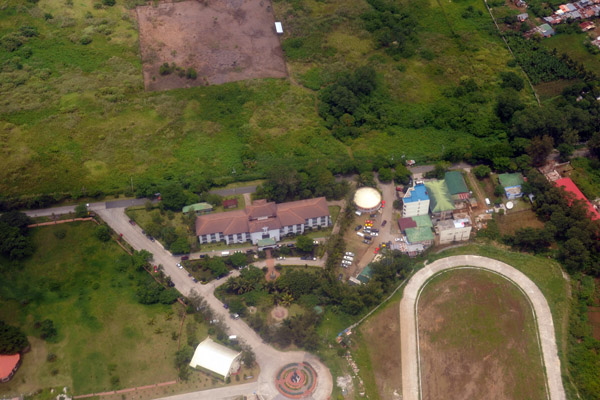
 1000 Missionary, Silang (Cavite) Luzon, Philippines |
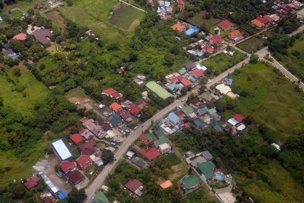
 Silang (Cavite) Luzon, Philippines |
 Lucshuhin Road, Silang (Cavite) Luzon, Philippines (N14.21/E120.96) |
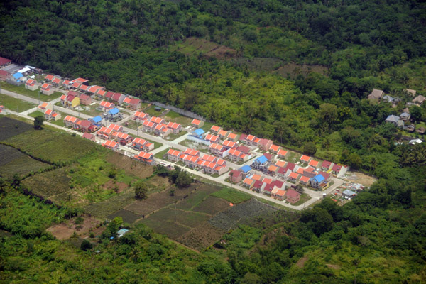
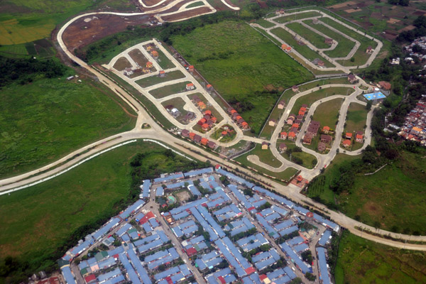
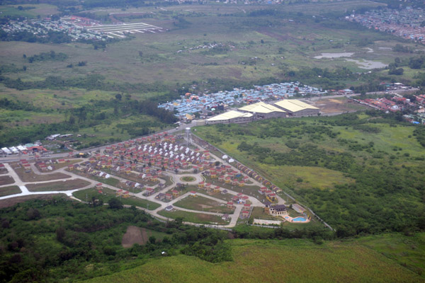
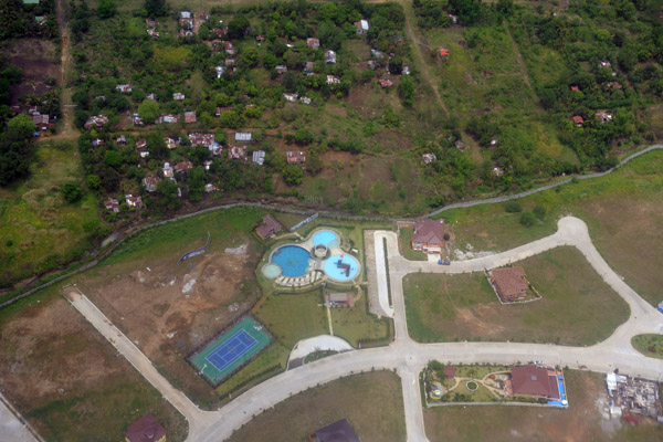
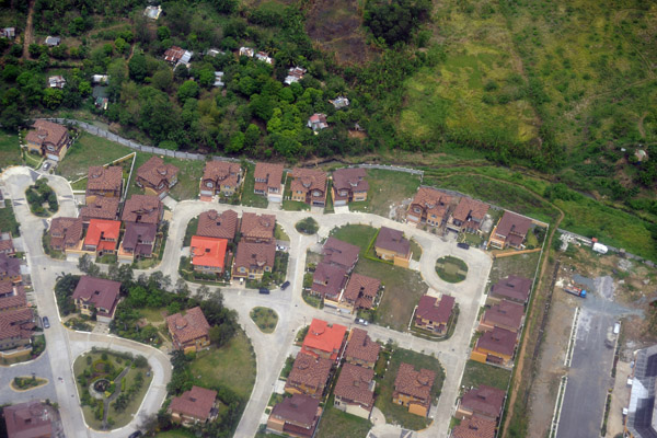
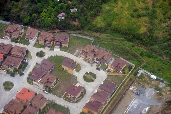
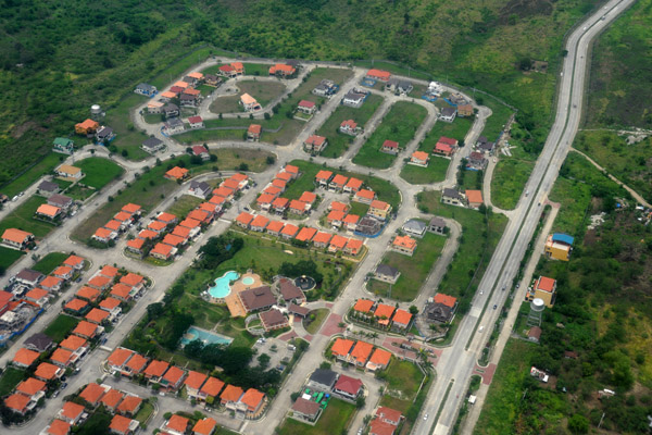
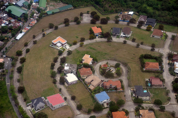
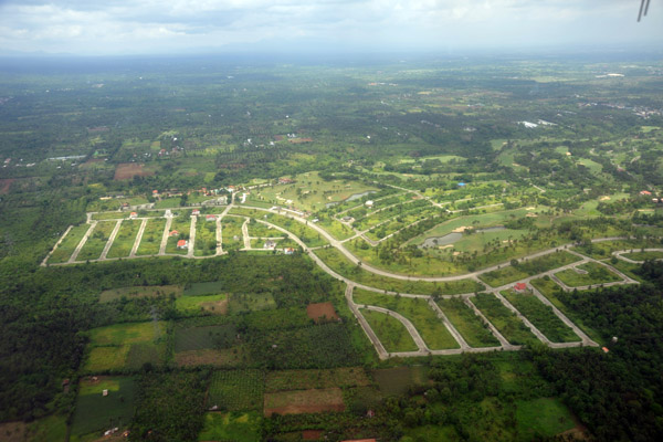 New suburban development at Riviera Golf Club, Silang, Luzon, Philippines |
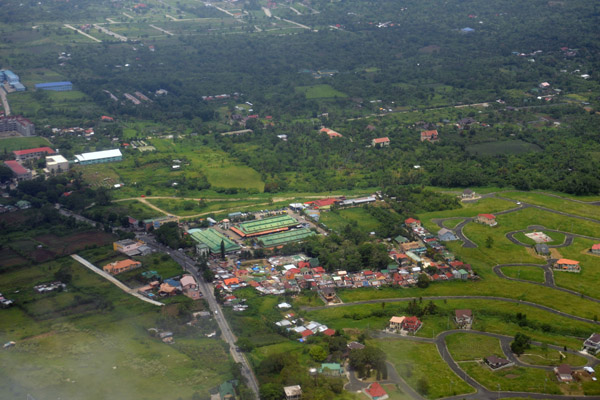
 Silong (Cavite) Luzon, Philippines (N14.23/E120.96) |
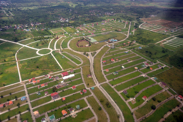 Metro Gate Silang development, Luzon, Philippines (N14.24/E120.96) |
 Blessed Ville Subdivision, Silang (Cavite) Luzon, Philippines (N14.26/E120.97) |
 Subdivision between Silang and Dasmari�as (Cavite) Luzon, Philippines (N14.28/E120.98) |
 St. Paul College Island Park (Dasmari�as, Cavite) Philippines (N14.30/E120.98) |
 New subdivision, Dasmari�as (Cavite) Philippines (N14.30/E120.99) |
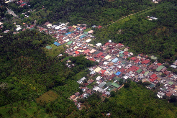
 Paliparan Dasmari�as (Cavite) Philippines (N14.32/E120.98) |
 Another new subdivision in Dasmari�as (Cavite) Philippines (N14.33/E120.99) |
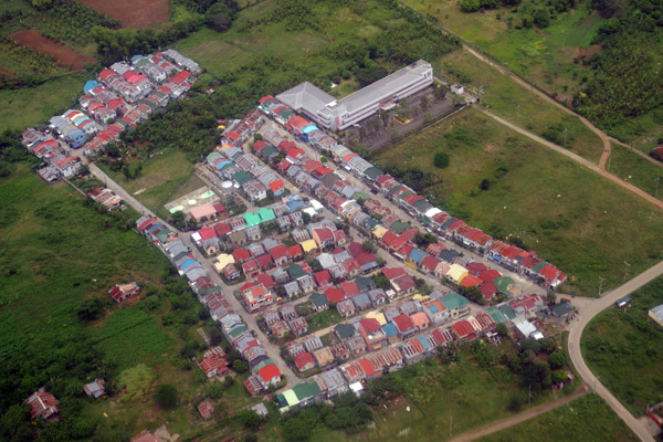
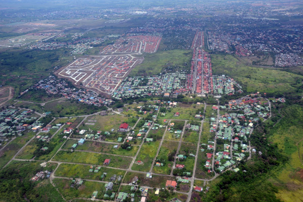
 Yet another new subdivision...looks like the Middle Class is flocking to the suburbs |
 New subdivision Magsaysay (Cavite) Philippines (N14.37/E121.01) |
 New subdivision Magsaysay (Cavite) Philippines (N14.37/E121.01) |
 Fernbrook, Magsaysay (Cavite) Philippines (N14.37/E121.01) |
 New subdivision, Magsaysay (Cavite) Philippines (N14.37/E121.01) |
 Queens Row West (Bacoor, Cavite) Philippines |
 Las Pinas (Cavite) Philippines (N14.41/E121.00) |
 Batele Rd at Mabolo Rd, Las Pinas (Cavite) Philippines (N14.415/E121.004) |
 Camino Real at Mahogany Rd, Las Pinas (Cavite) Philippines (N41.416/E121.005) |
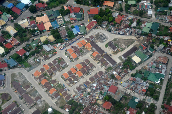 New housing going up in an older area |
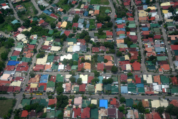
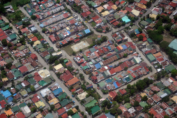
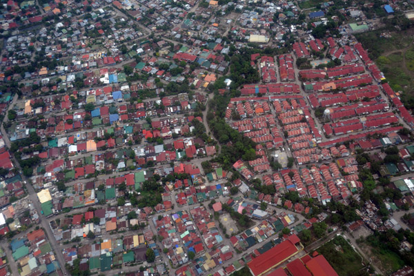
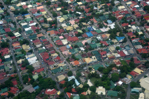
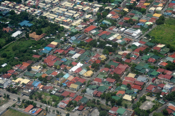
 Manila suburbs |
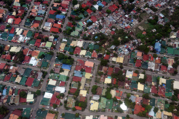
 Manila suburbs |
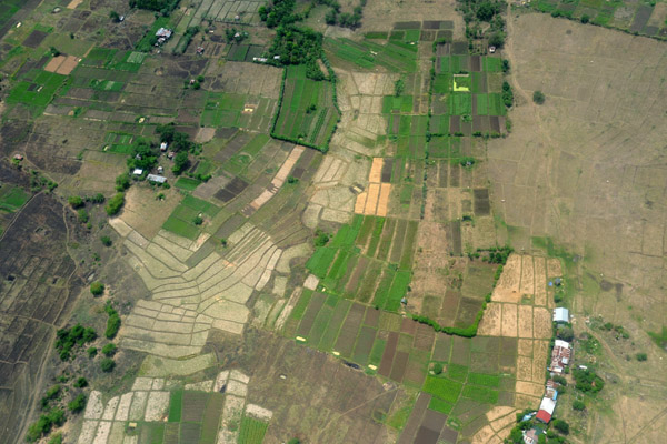 Farmland in the middle of suburbia, Cavite, Philippines (N14.424/E120.981) |
 Suburb built in 2003, San Nicolas I (N14.419/E120.979) |
 San Nicolas I, suburban Manila (N14.415/E120.997) |
 Dona Remedios St, Espeleta (Cavite) Philippines (N14.402/E120.991) |
 Ayala Southvale Village, Suburban Manila (N14.399/E121.000) |
 Dona Ailar Aquirre Rd, Las Pinas City, suburban Manila (N14.417/E121.007) |
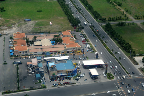
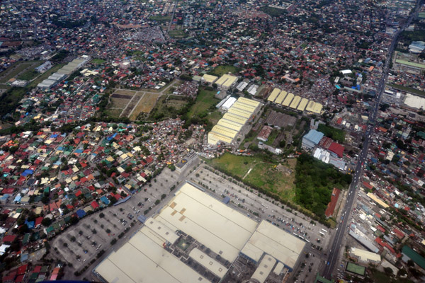 SM Southmall, Las Pinas City, suburban Manila, Philippines |
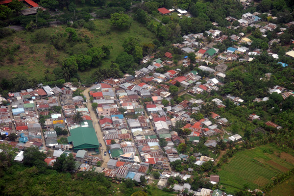
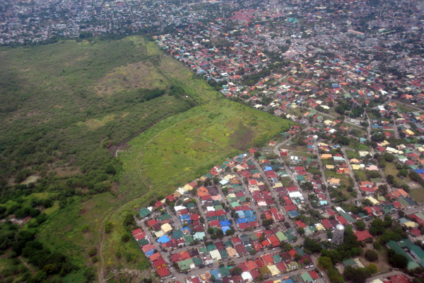
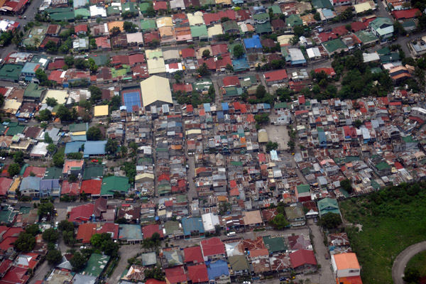
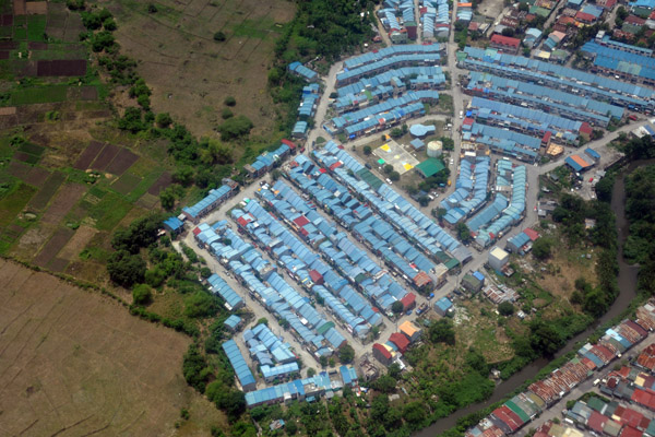
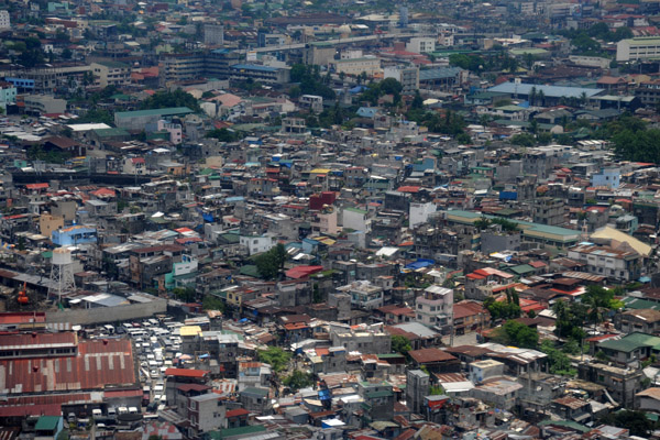
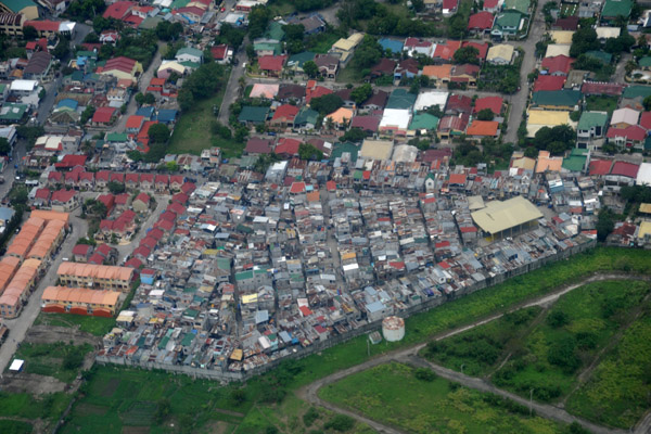 Shantytown, Suburban Manila, Philippines (N14.447/E121.003) |
 Suburban Manila - gems & planets - Jupiter St at Jade St (N14.467/E120.994) |
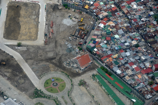 New construction walled off from a shanty town, suburban Manila (N14.477/E120.993) |
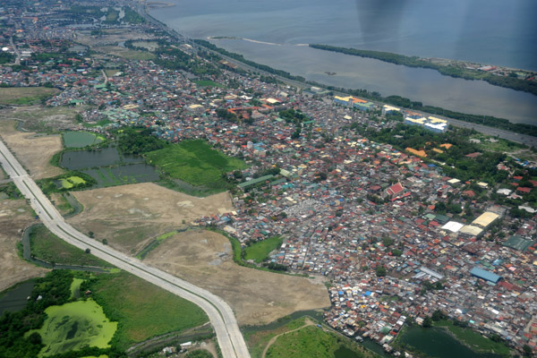 CS Road Extension, Paranaque, Metro Manila, Philippines |
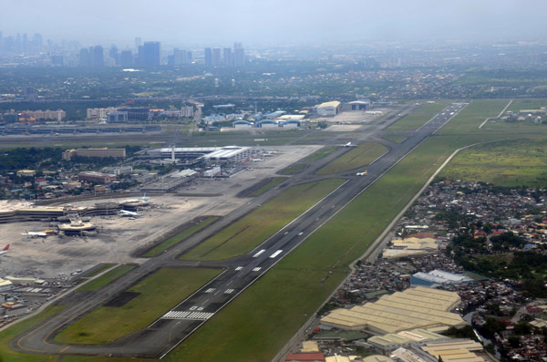 RPLL/MNL Ninoy Aquino International Airport, Manila, Philippines |
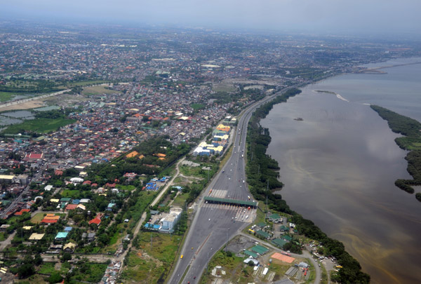 Cavite Tollgate, Aquinaldo Blvd, the coastal highway, Luzon, Philippines |
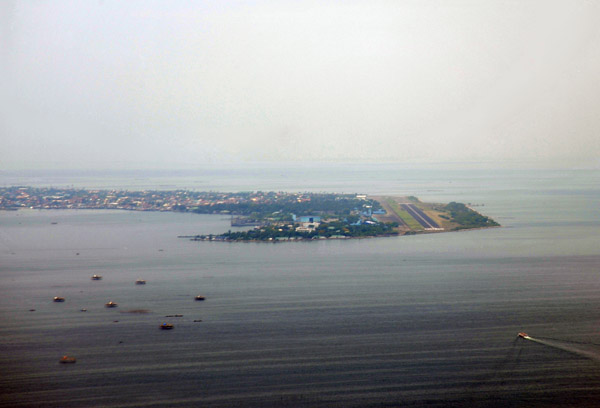 Cavite Peninsula with Sangley Point Airbase, Philippines |
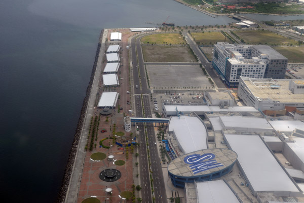 SM Mall of Asia, Manila, Philippines |
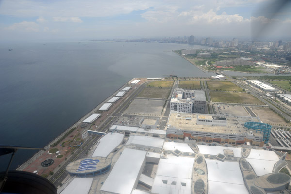 SM Mall of Asia, Manila, Philippines |
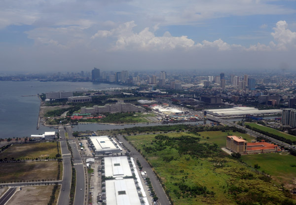 Bay Blvd looking north, Manila, Philippines |
 Corner of Pres. Diosdado Macapagal Blvd and Epifanio Delos Santos Ave, Manila |
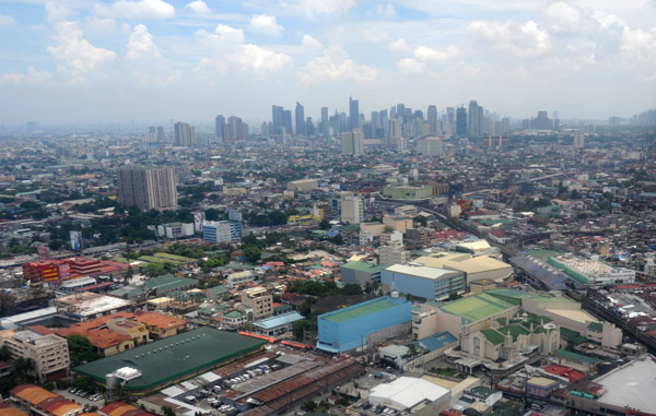
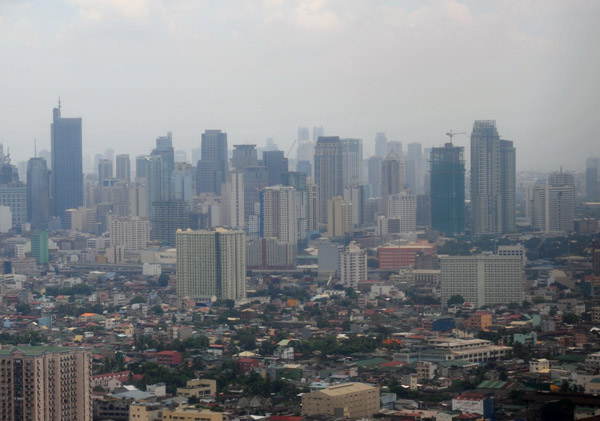 Skyscrapers of Makati City, Manila, Philippines |
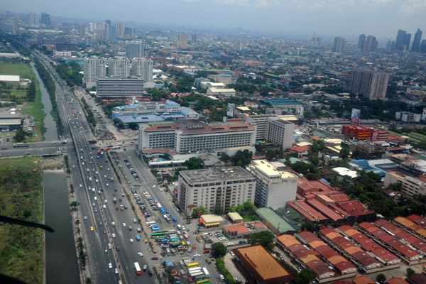 Roxas Blvd looking north, Manila, Philippines |
 View towards Makati from short final Rwy 13 at MNL |
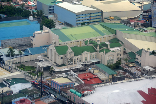 Church on F.B. Harrison at Taft Ave, Baclaran, Manila, Philippines |
 PhilippinesApr09 436.jpg |
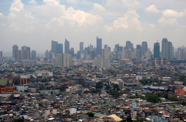 Makati City, Manila, Philippines |
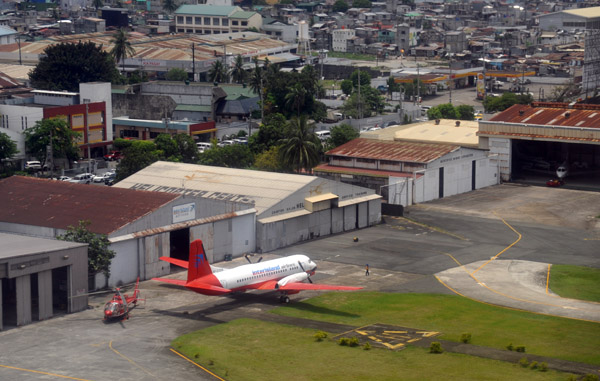 North end of Manila domestic airport |
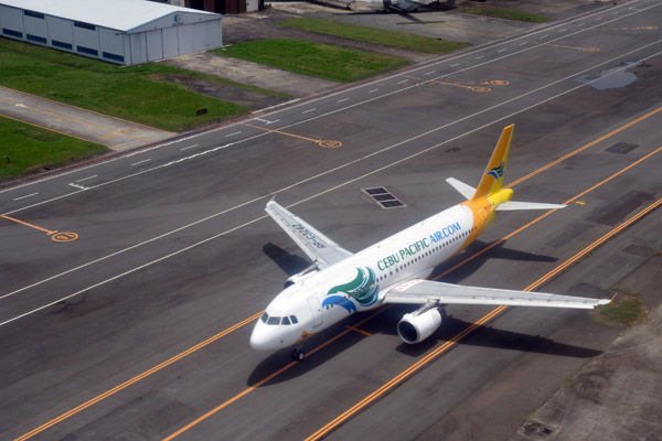 Cebu Pacific A320 taxiing for Rwy 13 at MNL (RP-C3242) |
| comment | share |