


|
|
|
|
|
|
| Brian McMorrow | profile | all galleries >> Europe >> Italy >> Veneto >> Parco Naturale delle Dolomiti d'Ampezzo | tree view | thumbnails | slideshow |
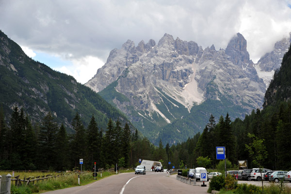
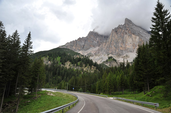
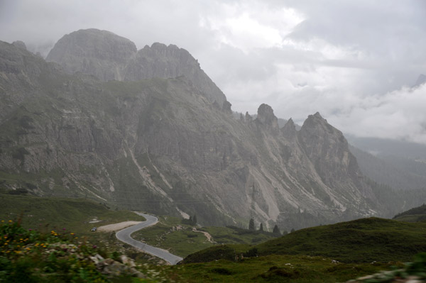
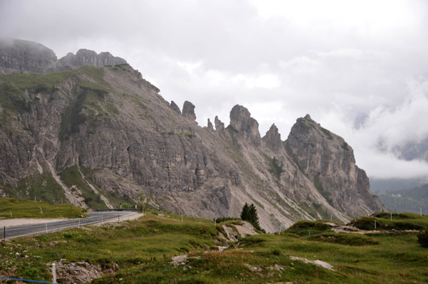
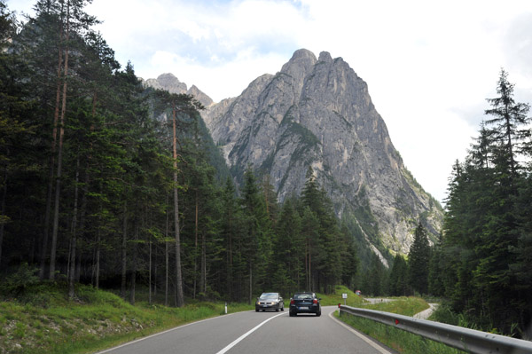 Strada Staale 51 through the Dolomites to Cortina d'Ampezzo |
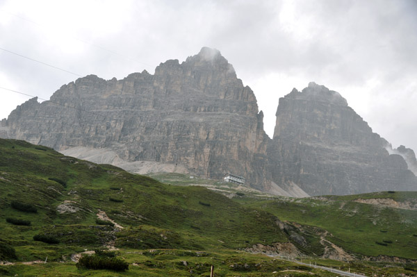
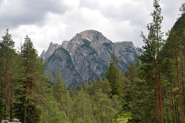 Monte Piano (2324m), the former southern border of the Austro-Hungarian Empire |
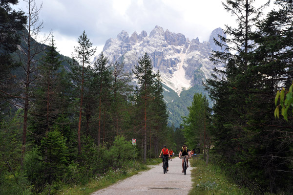
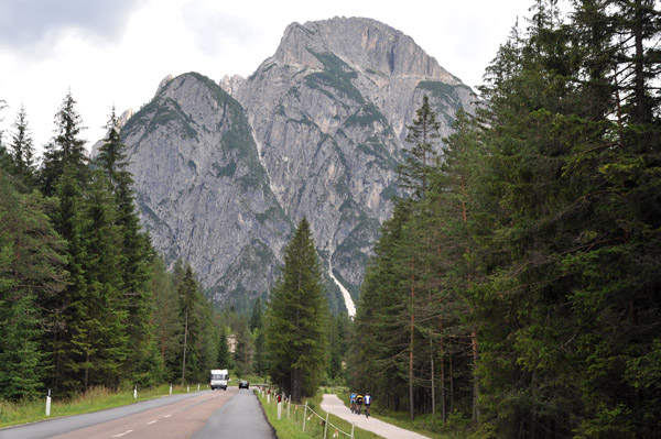 There's a nice bike path along SS51 between Toblach and Cortina |
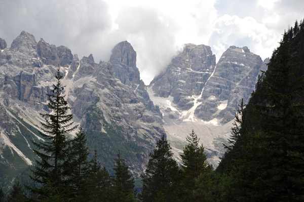
 Monte Cristallo (3221m/10,568ft), Dolomites |
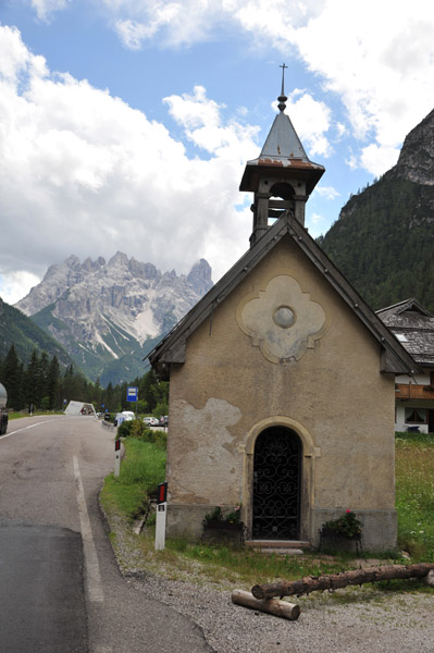 Kapelle Landro, via di Alemagna |
 Monte Cristallo (3221m/10,568ft) looming to the south along the road to Cortina |
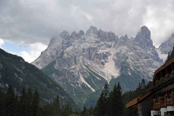
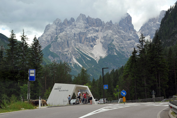 Dolomites UNESCO World Heritage |
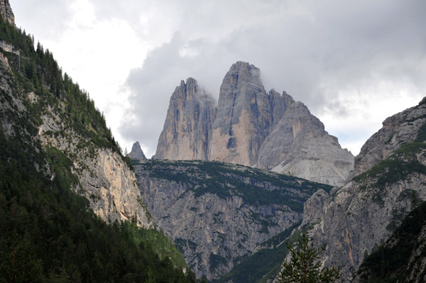
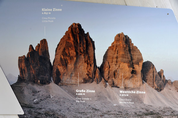
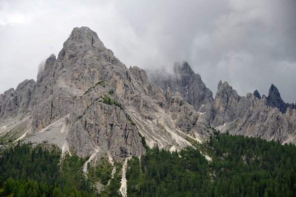
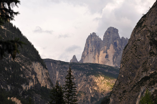
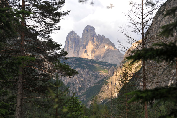
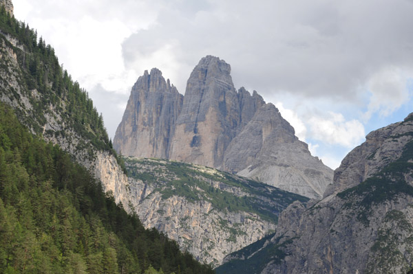 The famous Drei Zinnen/Three Peaks, Nature Park Tre Cime, Dolomites |
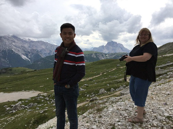
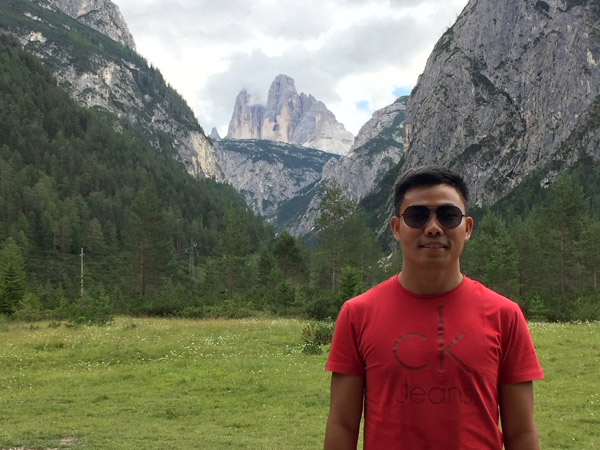 Max with the Three Peaks |
 Map of the Nature Park Tre Cime, Dolomites |
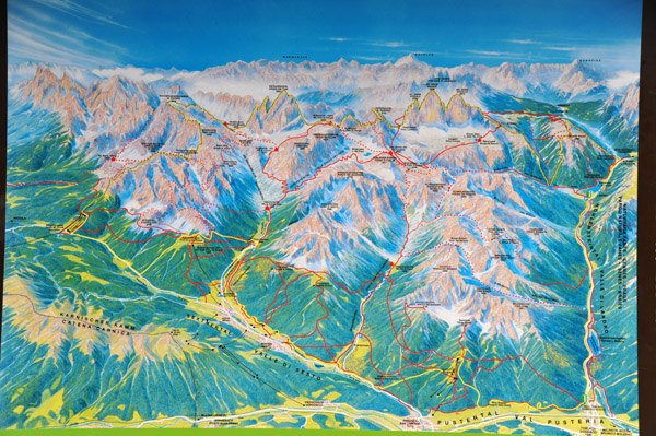 Summer map, Nature Park Tre Cime, Dolomites |
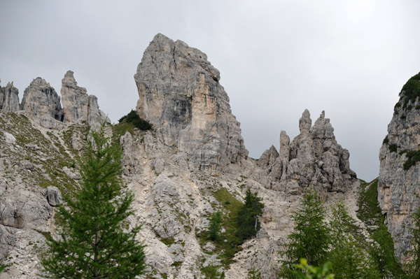
 Drei Zinnen/Three Peaks, Nature Park Tre Cime, Dolomites |
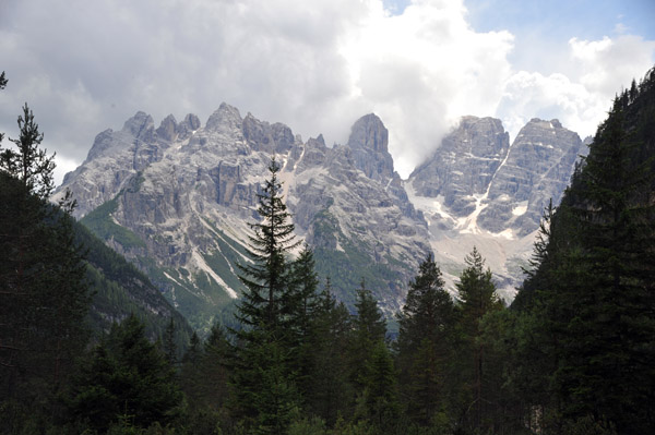
 Monte Cristallo (3221m/10,568ft), Dolomites |
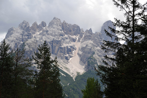
 Monte Cristallo (3221m/10,568ft), Dolomites |
 Cycle path along the valley floor to the north of Cortina d'Ampezzo, Dolomites |
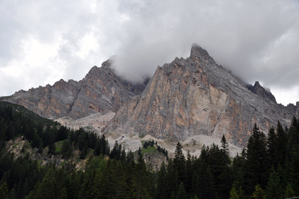
 Monte Cristallo (3221m/10,568ft), Dolomites |
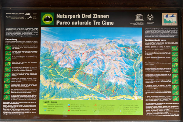
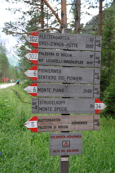 Hiking destinations with travel time, Naturpark Drei Zinnen/Tre Cime |
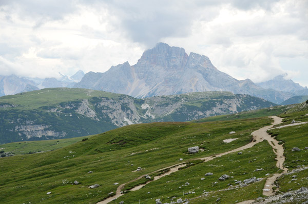
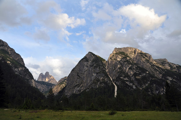
 The Three Peaks - that's what we were supposed to see if the weather was good |
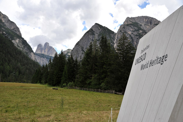 Dolomites UNESCO World Heritage Site |
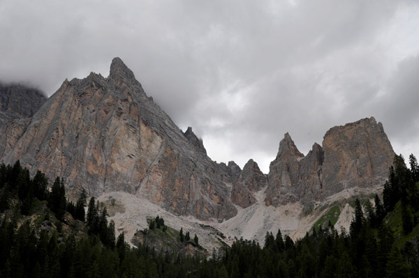
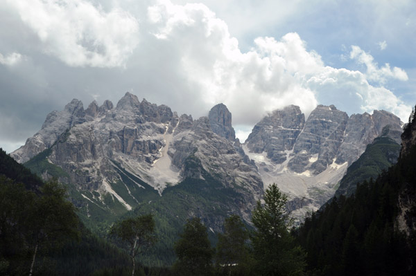 Monte Cristallo (3221m/10,568ft), Dolomites |
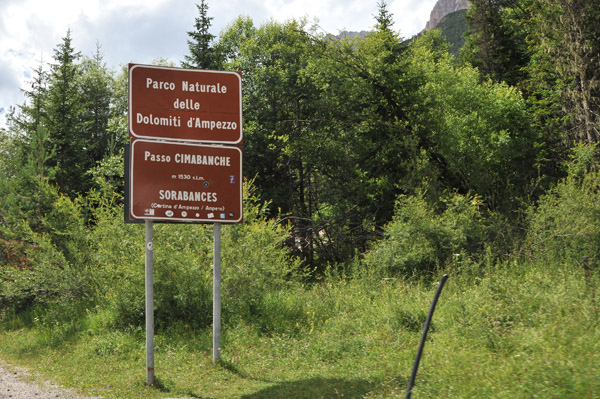 Parco Naturale delle Dolomiti d'Ampezzo - Passo Cimbanche |
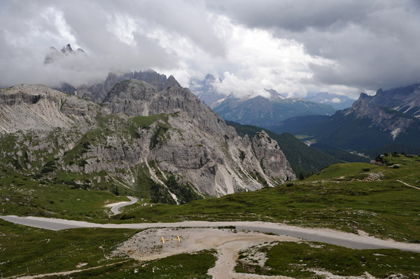
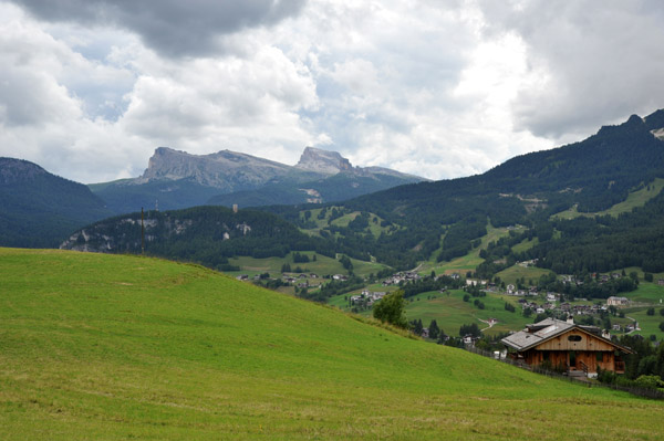 Alpine landscape around Cortina d'Ampezzo |
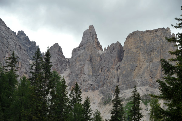 Passo Tre Croci, Dolomites |
 Passo Tre Croci, Dolomites |
 Passo Tre Croci, Dolomites |
 Passo Tre Croci, Dolomites |
 Passo Tre Croci, Dolomites |
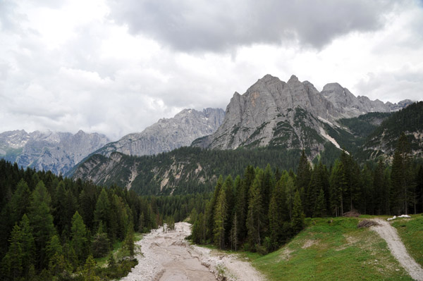
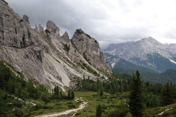
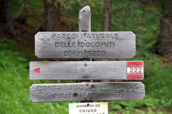 Parco Naturale delle Dolomiti d'Ampezzo |
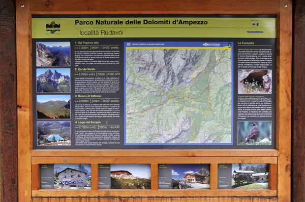 Rudav�i, Parco Naturale delle Dolomiti d'Ampezzo |
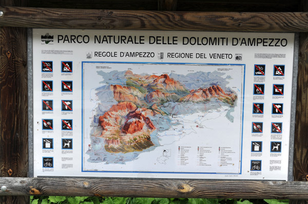 Parco Naturale delle Dolomiti d'Ampezzo, Regione del Veneto |
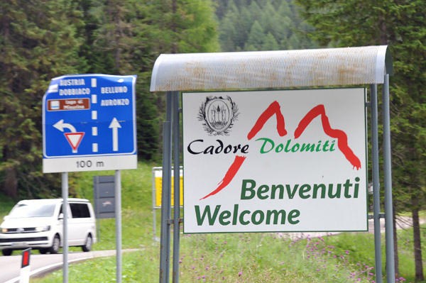 Benvenuti Cadore Dolomiti |
 Parco Naturale delle Dolomiti d'Ampezzo |
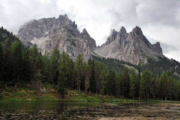
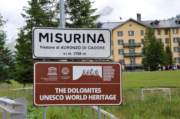 Misurina - The Dolomites UNESCO World Heritage |
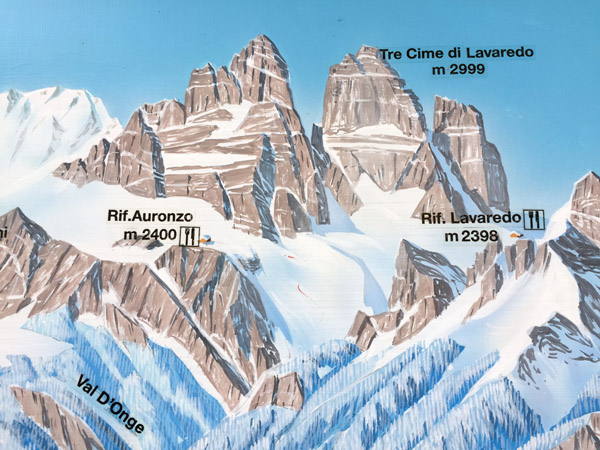
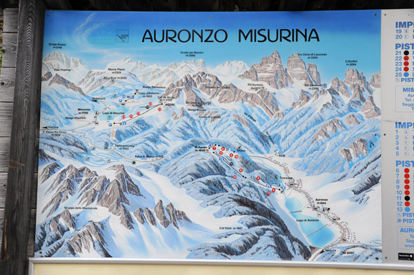 Winter ski map - Auronzo Misurina |
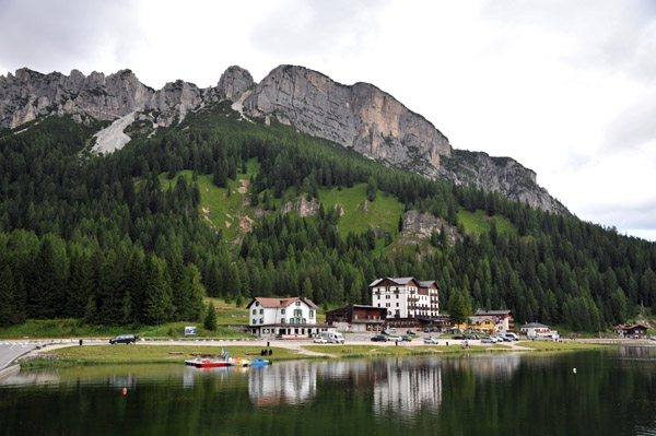 Lago di Misurina |
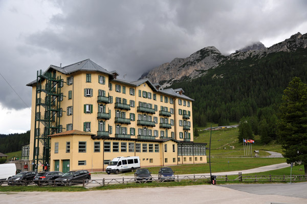 Instituto Pio XII, Misurina |
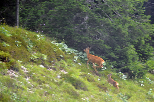 Wildlife running away - a deer with faun, Misurina |
 Lago di Misurina |
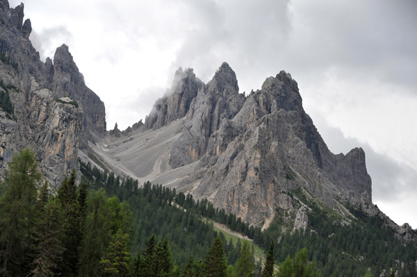 Cima di E�tv�s |
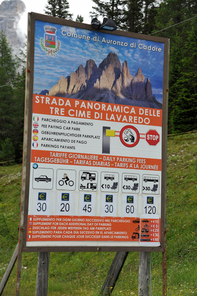 Strada Panoramica delle Tre Cime di Lavaredo |
 Driving from Misurina to the Rifugio Auronzo |
 A distinctive peak off the road to Rifugio Auronzo |
 Strada Panoramica delle Tre Cime di Lavaredo |
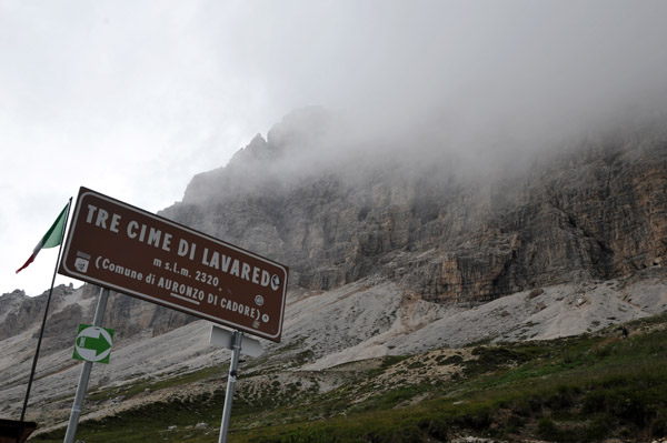 Tre Cime di Lavaredo 2320m |
 At the top of the road to Rifugio Auronzo |
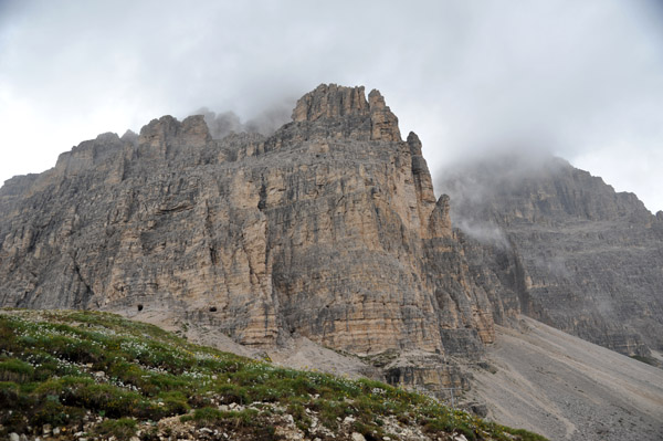
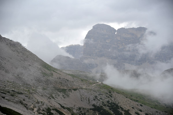
 View from the baes of the Tre Cime on an unfortunate cloudy day |
 Debbie and Max at the Tre Cime di Lavaredo |
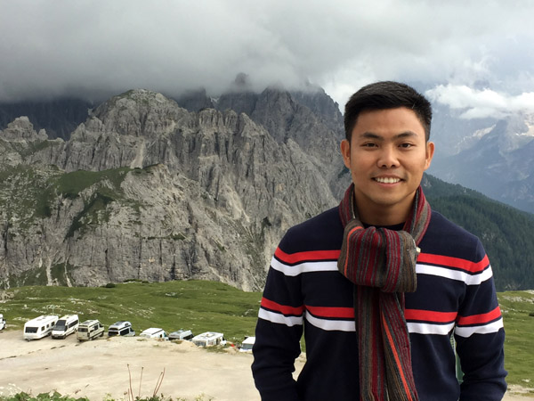 Max at the Tre Cime di Lavaredo |
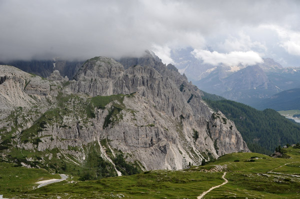
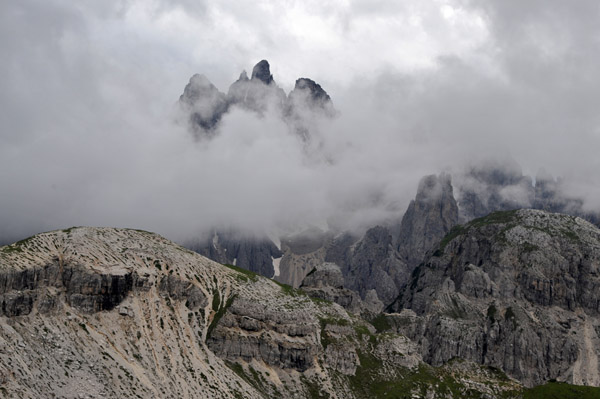
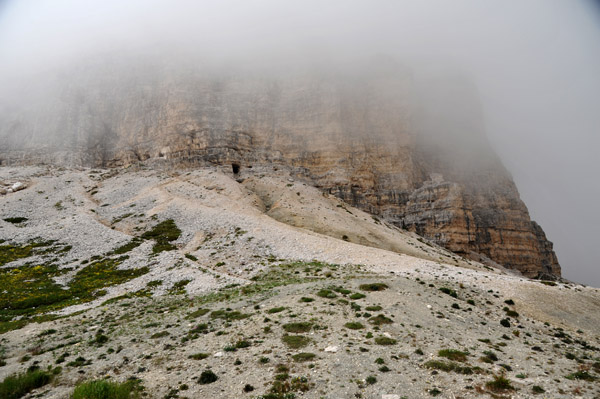 The famous Three Peaks up there in the mist |
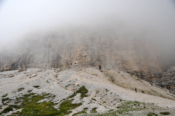 There are some tunnels carved into the base of the Tre Cime |
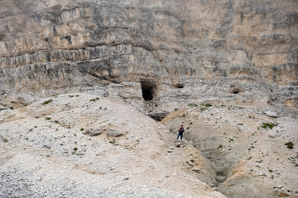 Max hiking up to one of the tunnel entrances at the base of the Tre Cime |
 Helipad at the top of the Strada Panoramica delle Tre Cime di Lavaredo |
 I'll have to come back here on a clear day |
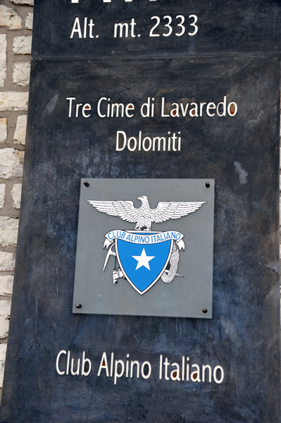 Tre Cime di Lavaredo 2333m |
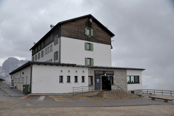 Rifugio Auronzo, Tre Cime di Lavaredo |
 Rifugio Auronzo, Tre Cime di Lavaredo |
 Winter map of the Tre Cime di Lavaredo and Rifugio Auronzo |
 Tre Cime di Lavaredo |
 Path around the base of the Tre Cime di Lavaredo |
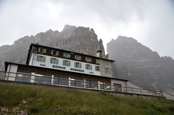 Rifugio Auronzo, Tre Cime di Lavaredo |
 Strada Panoramica delle Tre Cime di Lavaredo |
 Strada Panoramica delle Tre Cime di Lavaredo |
 Tre Cime di Lavaredo, Rifugio Auronzo |
 As we reached the bottom of the Panoramic Drive, the Tre Cime finally make an appearance |
 Three Peaks - Tre Cime di Lavaredo |
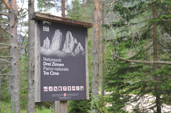 Naturpark Drei Zinnen - Parco naturale Tre Cime |
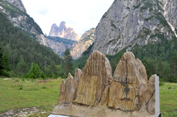 Model with climbing routes on the Tre Cime |
 The Tre Cime from the Strada Statale 51 viewpoint |
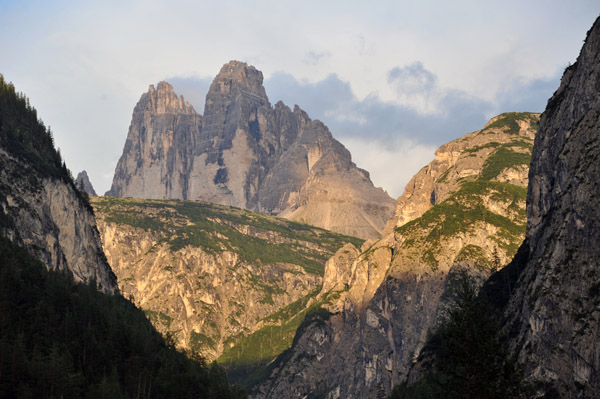 The Tre Cime from the Strada Statale 51 viewpoint |
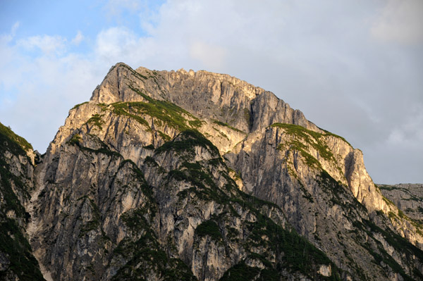 Monte Piana |
 Monte Piana |
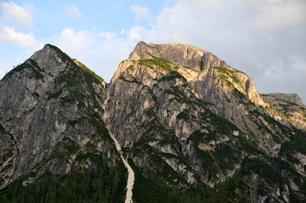
 The Tre Cime from the Strada Statale 51 viewpoint |
| comment | share |
| Eli Finkelstein | 13-Oct-2020 11:53 | |