


|
|
|
|
|
|
| Brian McMorrow | profile | all galleries >> Aviation >> Aerial Photos >> Aerials-Asia >> Aerials Indonesia Timor-Leste | tree view | thumbnails | slideshow |
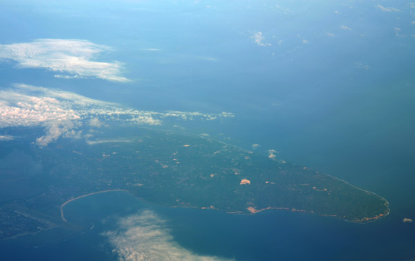
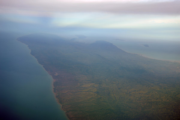
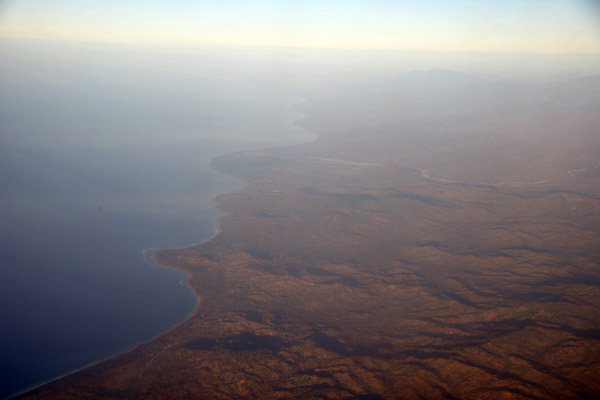
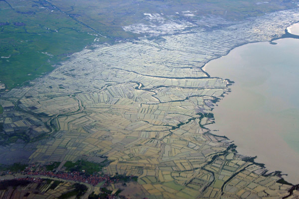
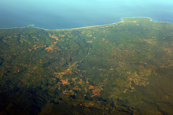
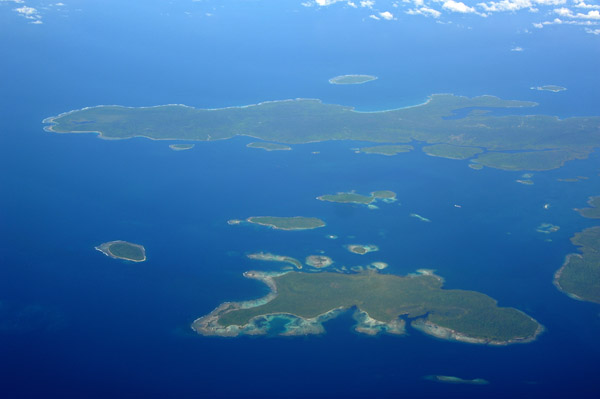
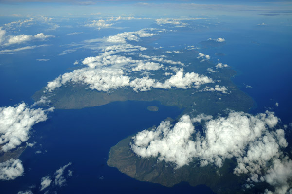
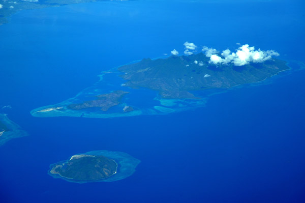
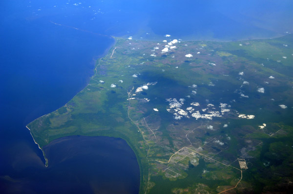
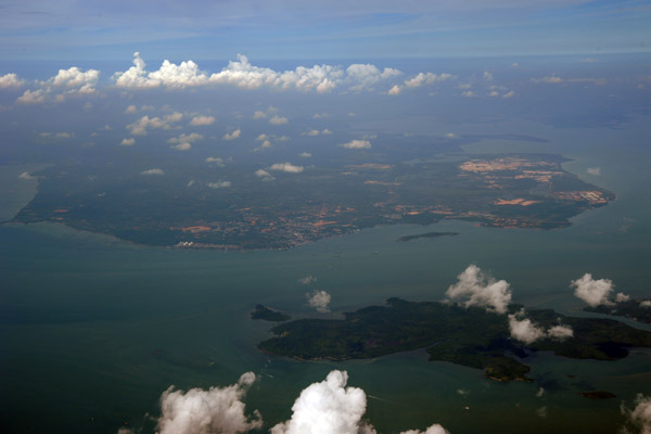
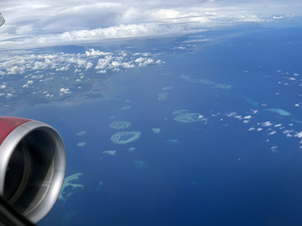
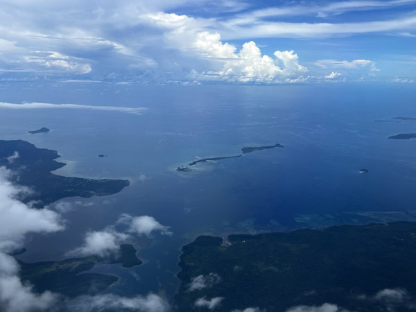
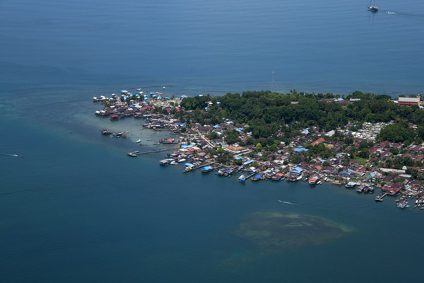
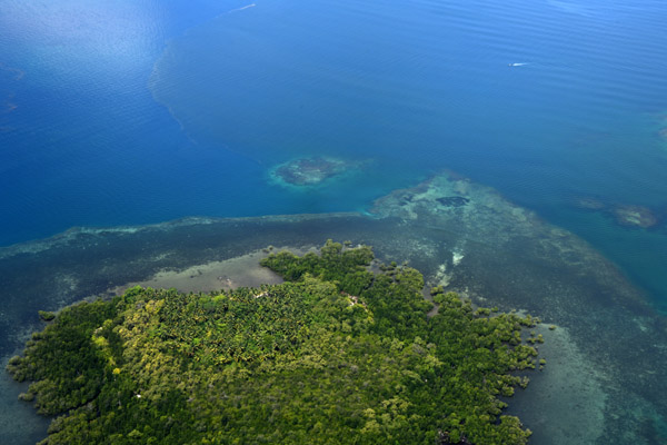
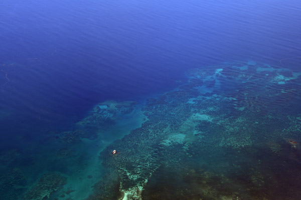
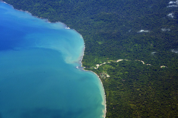
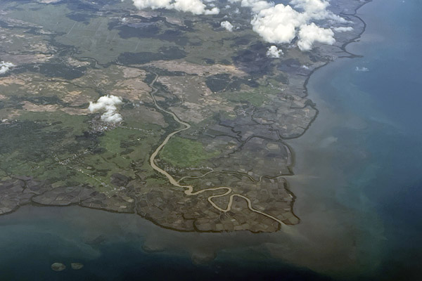
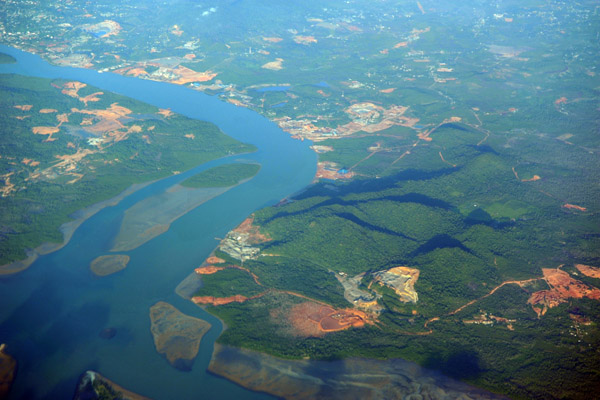 Channel separating southeastern Bintan Island from its smaller neighbors, Indonesia |
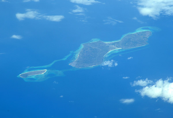
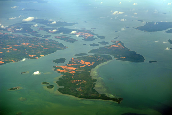
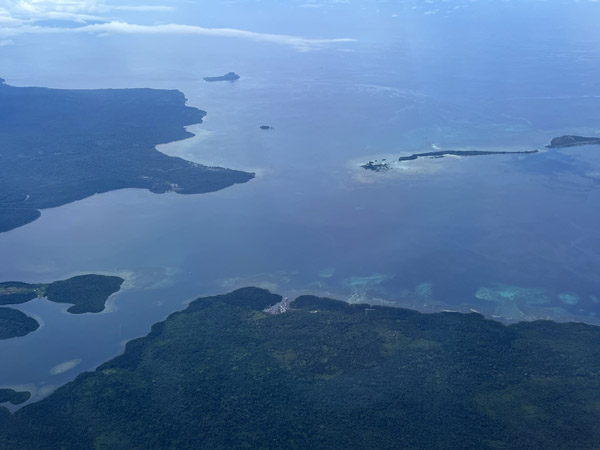
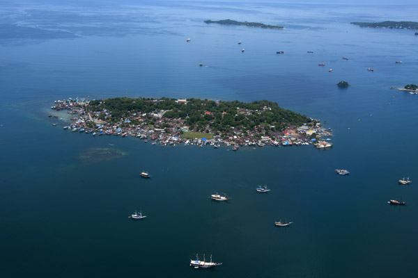
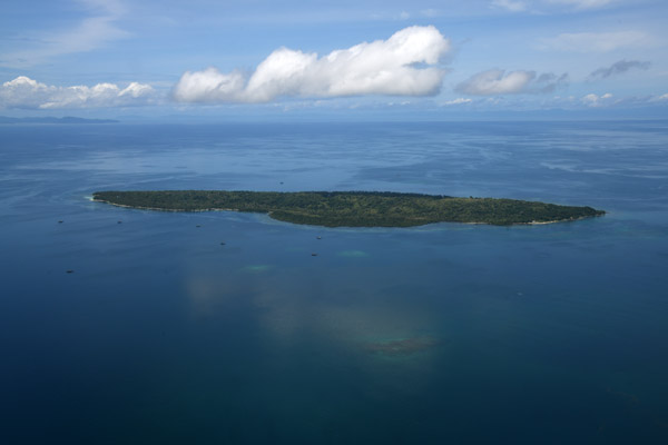
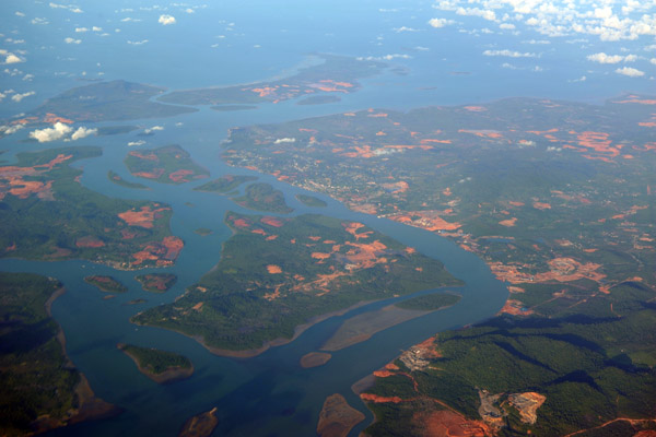 Southeastern Bintan Island, Pulau Poto, Pulau Kelong and Pulau Mantang, Indonesia |
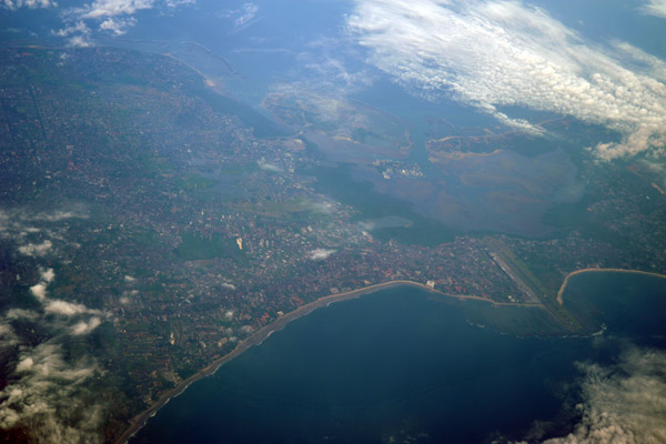
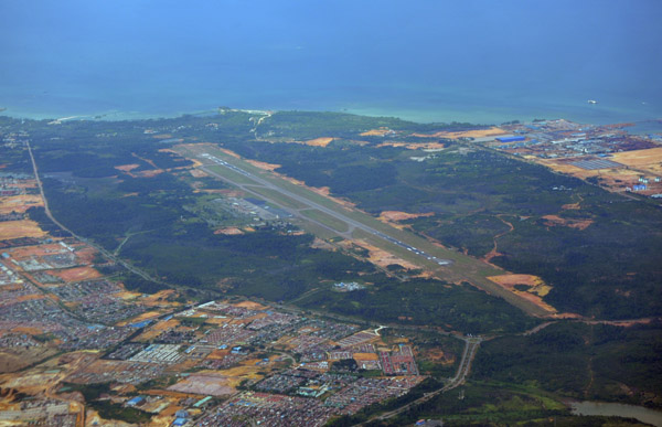
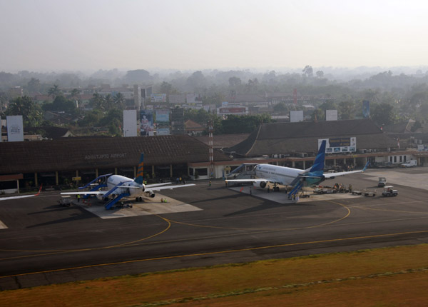
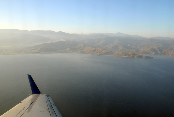
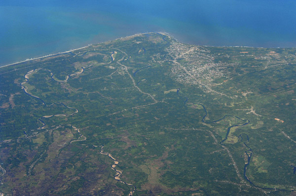
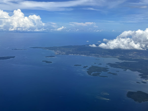
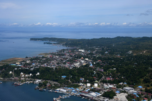
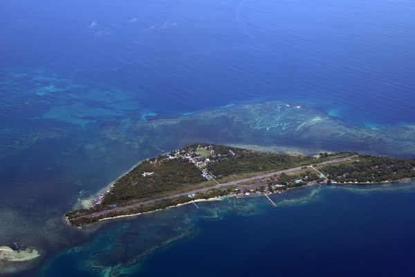
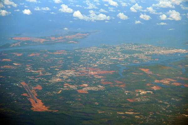 Tanjung Pinang and Kijang Airport, Bintan Island, Indonesia |
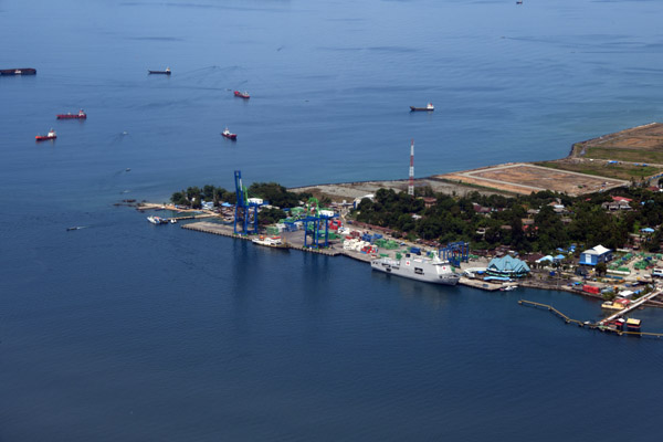
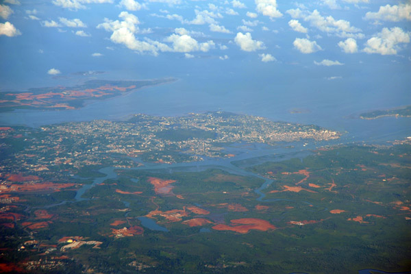 Tanjung Pinang, Bintan Island, Indonesia |
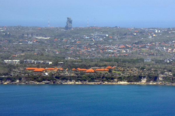
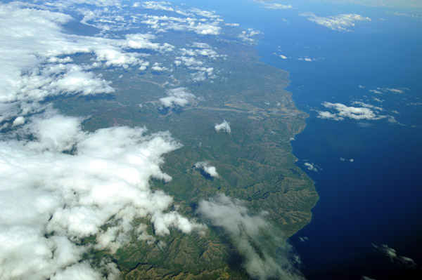
 Bali south of the airport with Uluwatu, Nusa Dua and Jimbaran Beach |
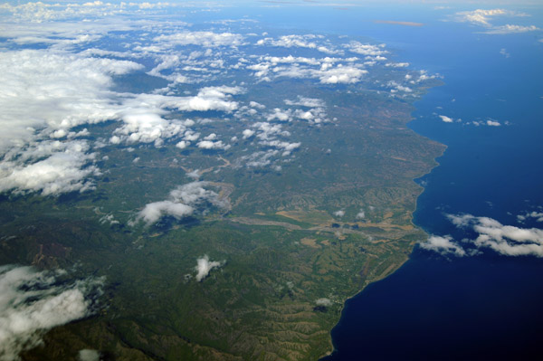
 Southern Bali north of Bali International Airport (BLI/WADD) including Kuta, Legian, Seminyak and Denpasar |
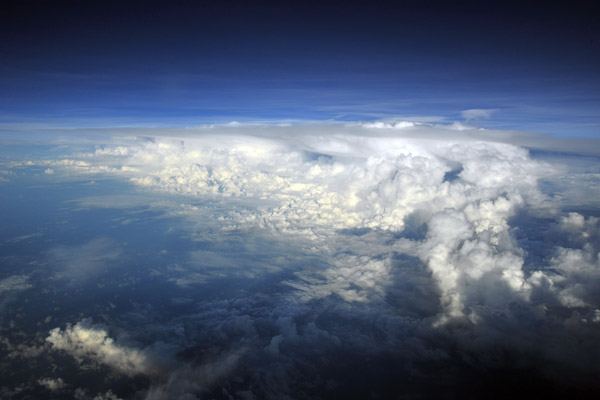
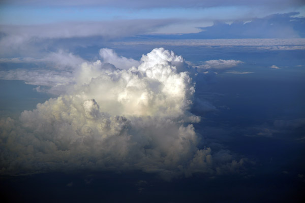 Storm off the coast of Bali, Indonesia |
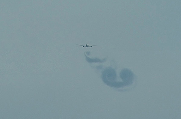 Wake vortices of an A330 flying over Indonesia |
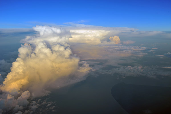 Early morning thurnderstorm off the southern tip of Borneo (S04/E115) |
 Thunderstorm and CB casting long shadow early in the morning off Borneo, Indonesia |
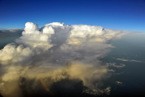 Thunderstorm off Borneo, Indonesia |
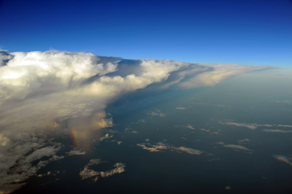 Thunderstorm with a huge anvil and small rainbow off southern Borneo |
 Rainbow at the base of a thunderstorm off Borneo, Indonesia |
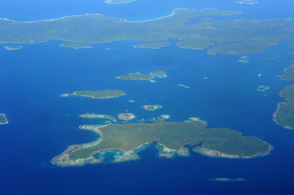
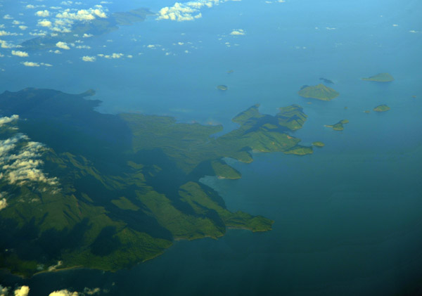 Karimata Islands off the west coast of Borneo, Indonesia (S01/E109) |
 Batam Airport, Indonesia |
 Pulau Madura, east of Surabaya |
 Pulau Madura, east of Surabaya |
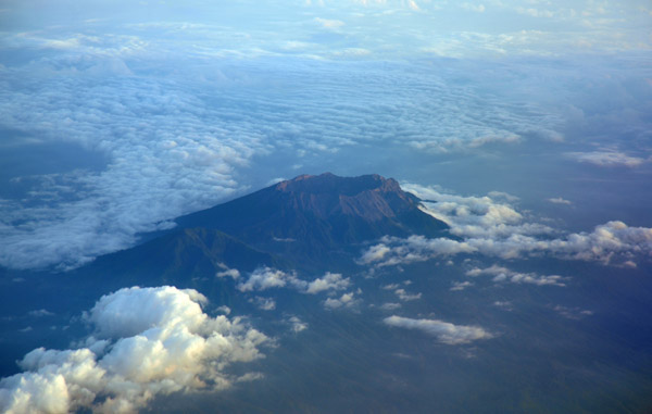
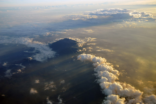
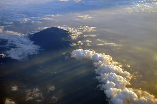
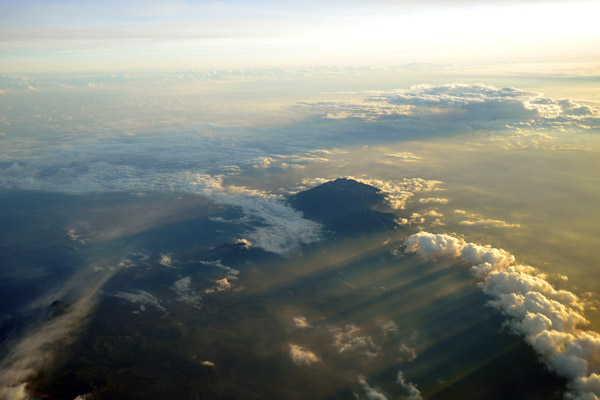
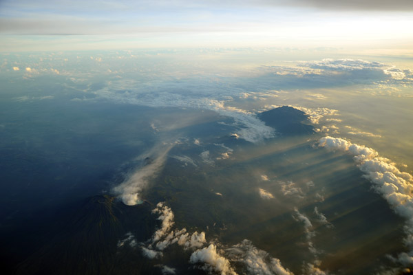
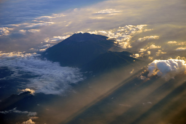
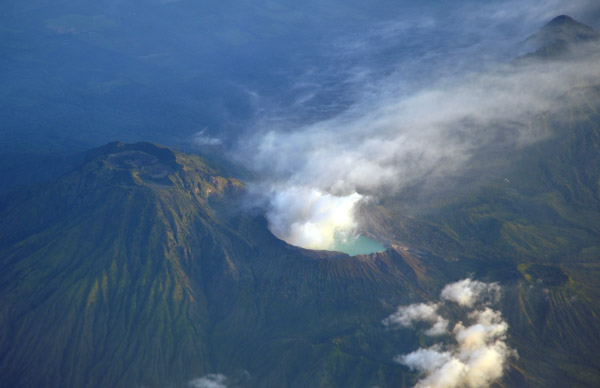
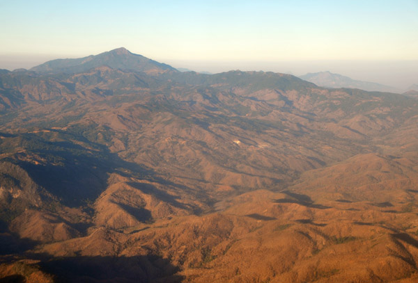
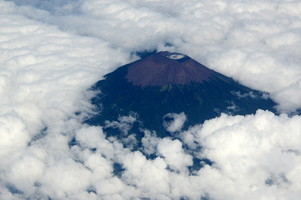
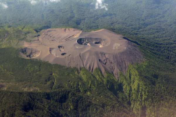
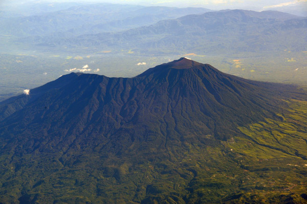
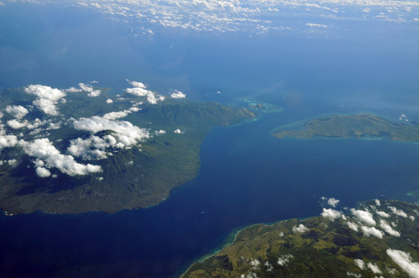
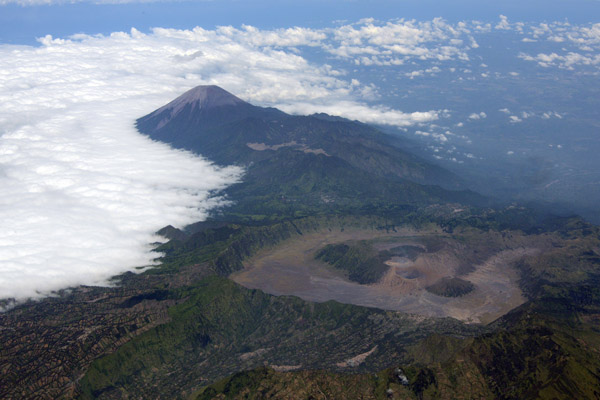
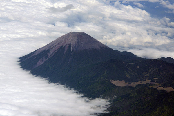
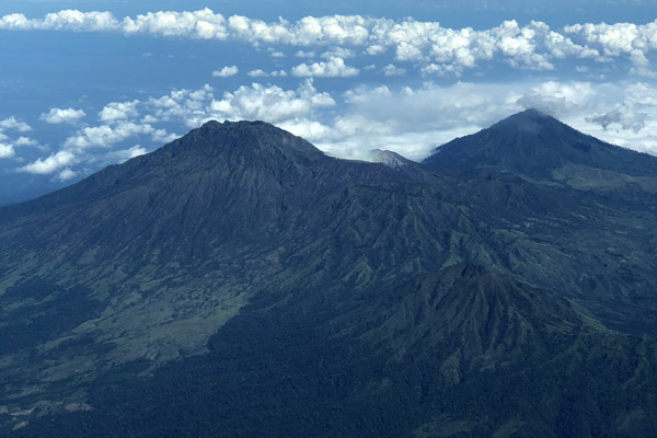
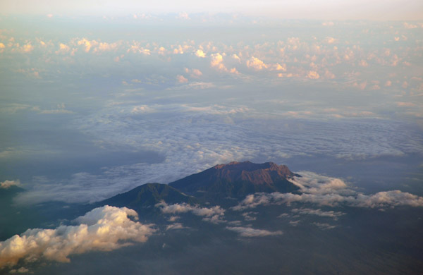 Gunung Raung (3332m), Eastern Java |
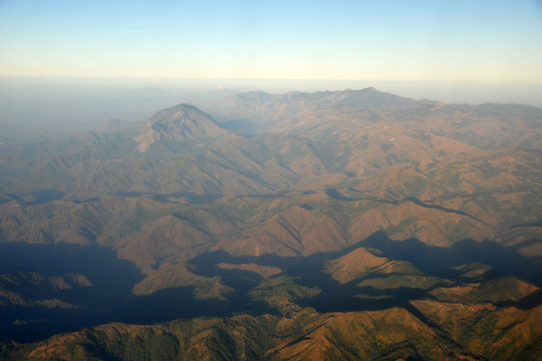
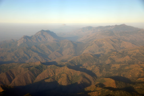
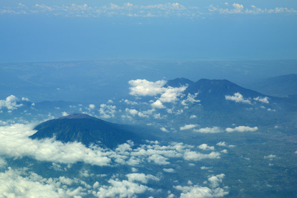
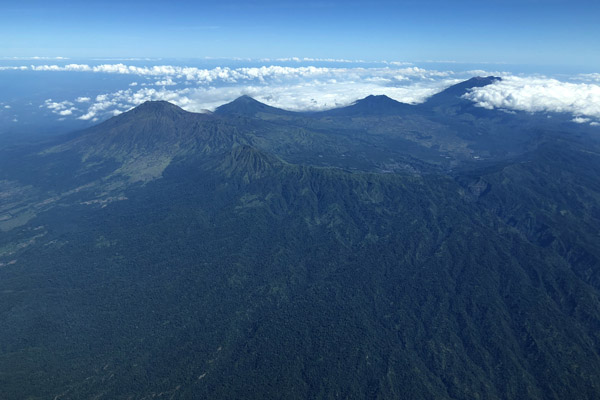
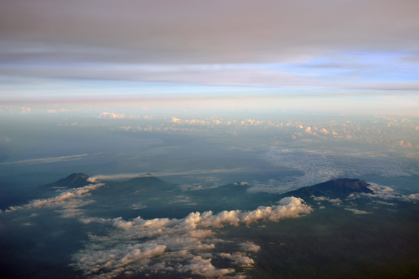 The volcanoes of Eastern Java, Indonesia |
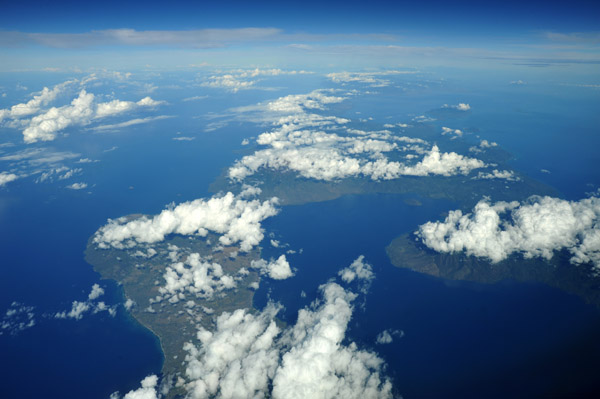
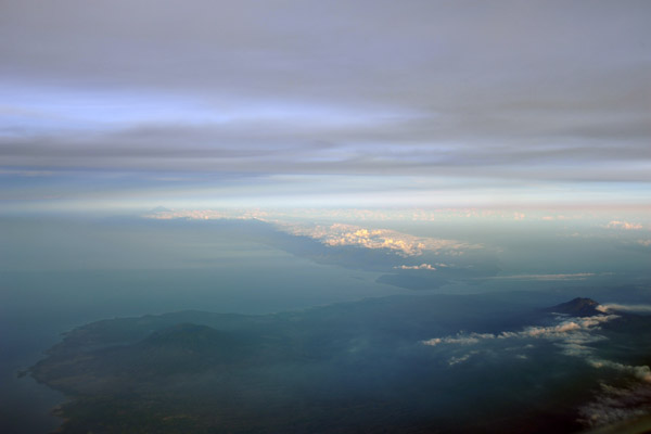 Looking across the narrow channel separating Java from Bali |
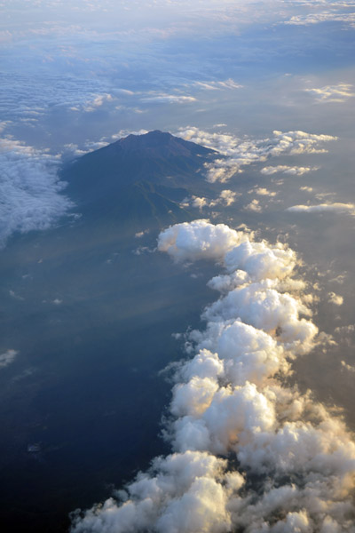
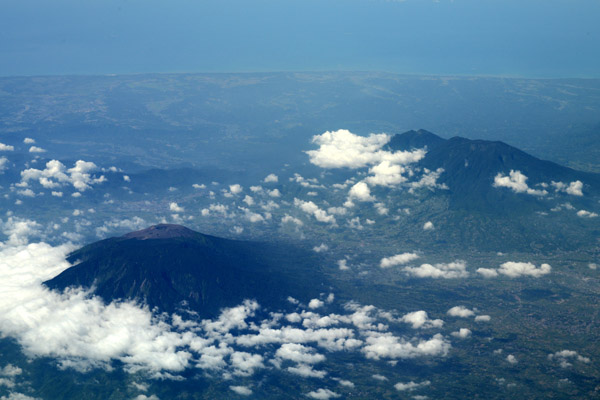
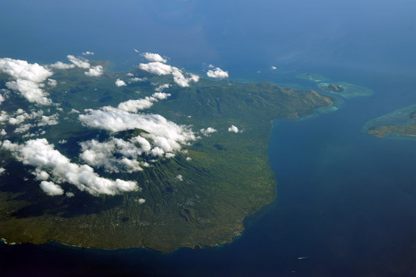
 Gunung Raung and the smaller Gunung Suket |
 Gunung Raung, Eastern Java |
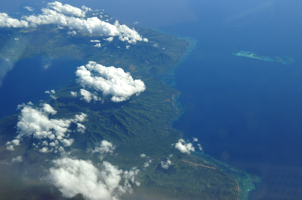
 Gunung Raung, Eastern Java |
 Gunung Raung, Eastern Java |
 Gunung Raung, Eastern Java |
 Gunung Raung, Eastern Java |
 Sunset, Gunung Raung, Eastern Java |
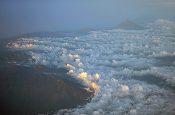
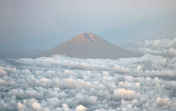
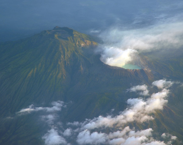 Gujung Merapi and Kawah Ijen volcanoes, Eastern Java |
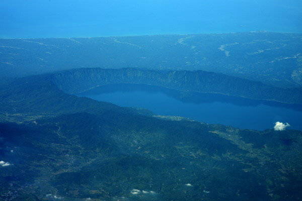
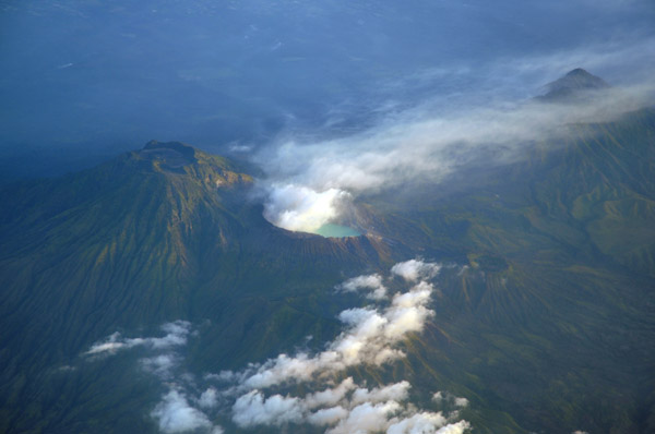 The acid-lake of the Ijen Caldera is 1 km across |
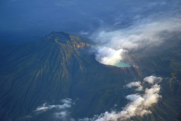 Steam venting from the acid-lake of Ijen Caldera, Eastern Java |
 Mount Merapi and Ijen Crater Lake, Eastern Java |
 Bali, Indonesia |
 Bali, Indonesia |
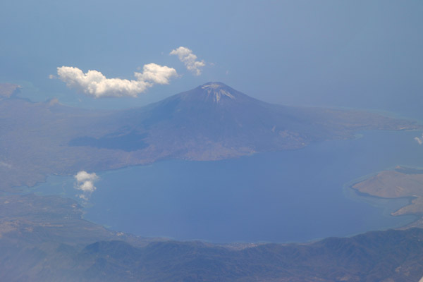
 Gujung Agung, Bali, Indonesia |
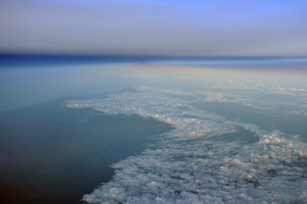
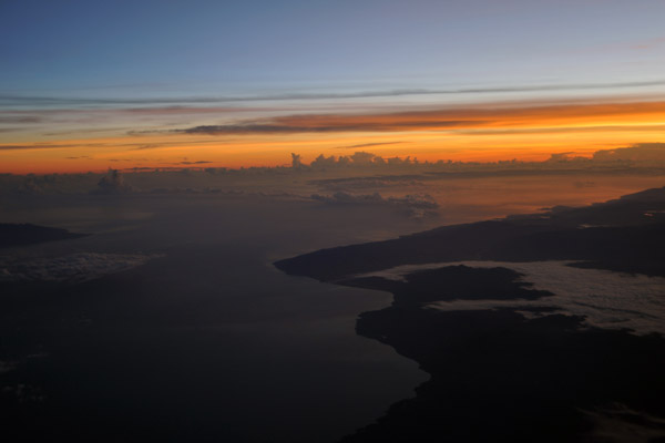
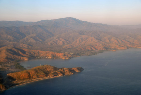
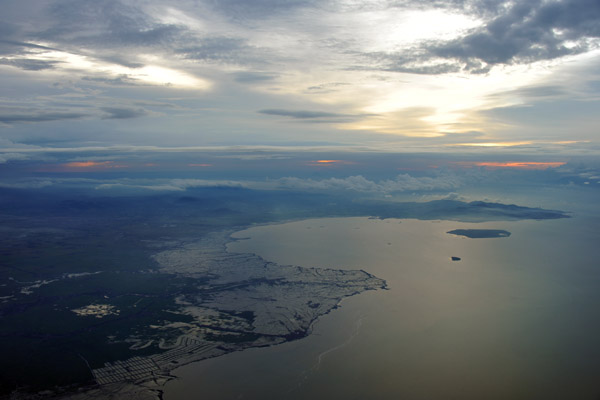
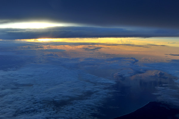
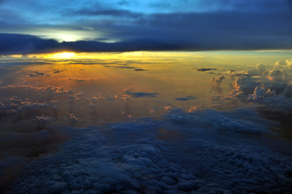
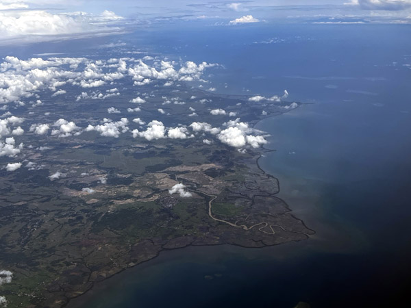
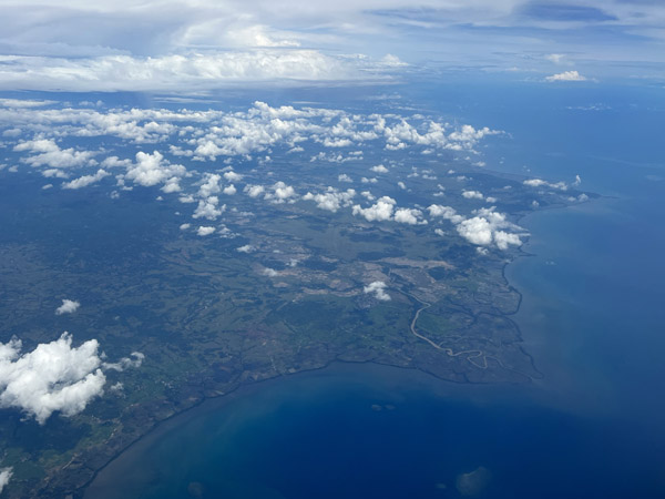
 Dawn off the south coast of Timor |
 Dawn off the south coast of Timor |
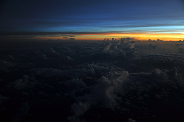 Dawn off the south coast of Timor |
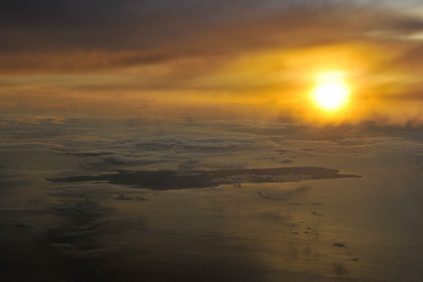
 Dawn, Timor |
 Channel between East Timor and the Indonesia island of Alor |
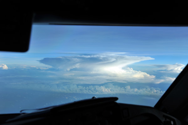 Thunderstorm ahead, Flores Sea, Indonesia |
 Thunderstorm, Flores Sea, Indonesia |
 Rainbow, Flores Sea, Indonesia |
 Rainbow, Flores Sea, Indonesia |
 Rainbow, Flores Sea, Indonesia |
 Rainbow, Flores Sea, Indonesia |
 Rainbow, Flores Sea, Indonesia |
 Rainbow, Flores Sea, Indonesia |
 Rainbow, Flores Sea, Indonesia |
 Off the southern coast of Borneo |
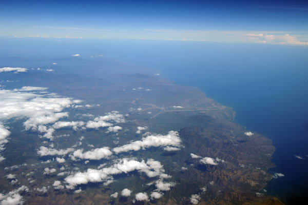
 East Timor (Timor-Leste) |
 South coast of East Timor (Timor-Leste) |
 Border area between Indonesian West Timor and newly-independent East Timor (Timor-Leste) |
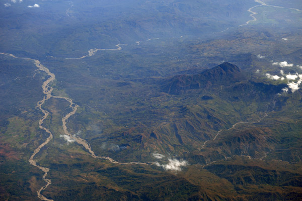 The border splitting Timor runs along the riverbed at the top of the photo |
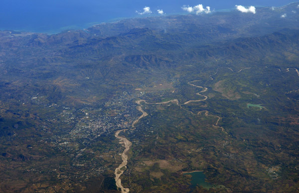 Atambua, West Timor, Indonesia |
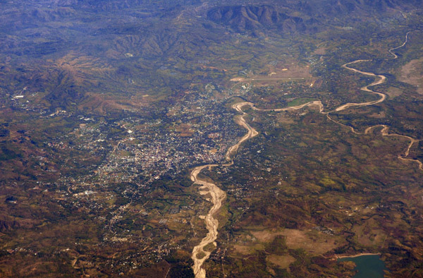 Atambua, West Timor, Indonesia |
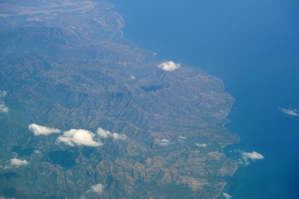
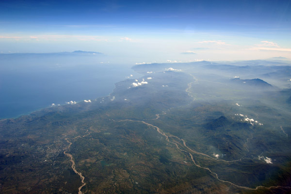 North coast of central Timor, Indonesia/Timor-Leste |
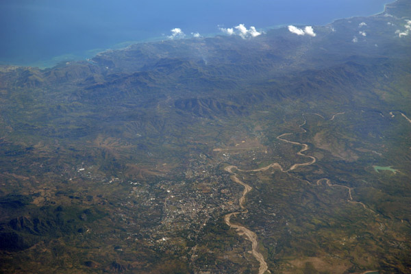 Atambua, West Timor, Indonesia |
 Oecusse, Timor-Leste, and East Timorese enclave in West Timor |
 West Timor, Indonesia with the Oecusse enclave of Timor-Leste |
 Oecusse, Timor-Leste |
 West Timor, Indonesia with the Oecusse enclave of Timor-Leste |
 West Timor, Indonesia with the Oecusse enclave of Timor-Leste |
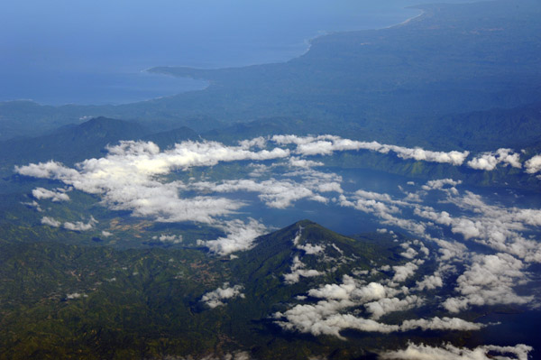
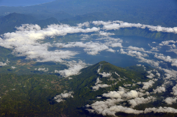
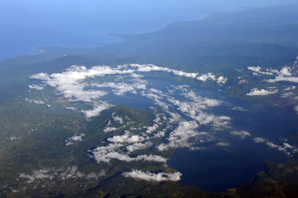
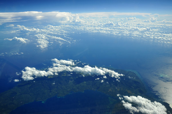
 Flores Sea, Indonesia |
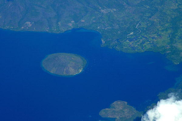
 Pulau Pamona, Indonesia (S08 22/E122 18) |
 Pulau Pamona, Indonesia (S08 22/E122 18) |
 Early morning departure from Yogyakarta for Singapore |
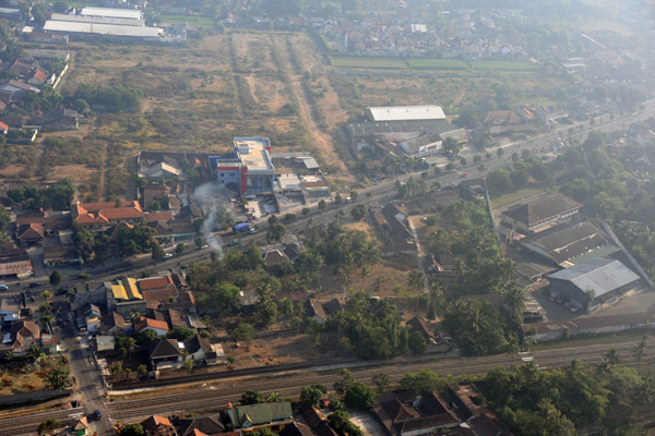 Purwo Martani, Yogyakarta, Central Java, Indonesia |
 Purwo Martani, Yogyakarta, Central Java, Indonesia |
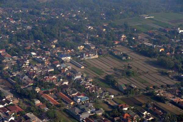
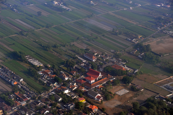 Suburbs and farmland outside Yogyakarta, Indonesia |
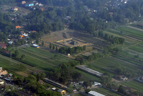 Candi Sambisari, one of the small outlying temples of Parambanan, Indonesia |
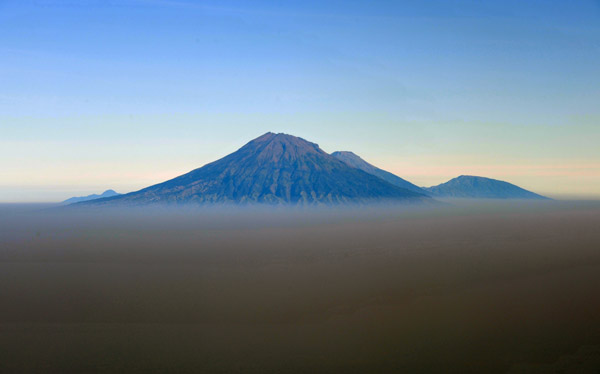 Breaking through the thick Indonesian have, Mt. Merapi appears in the distance |
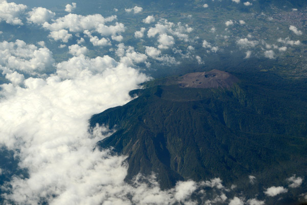
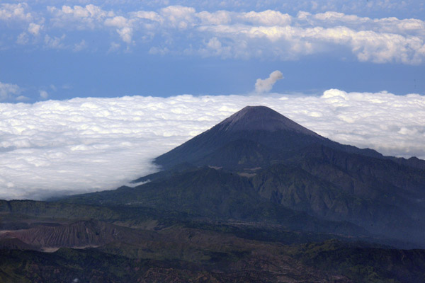
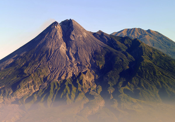 Gunung Merapi - "Fire Mountain" - erupted in late 2010 |
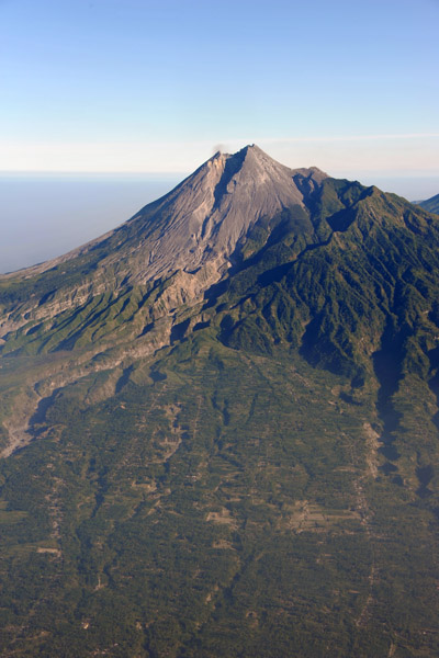
 Mt. Merapi - 2930m (9613ft) |
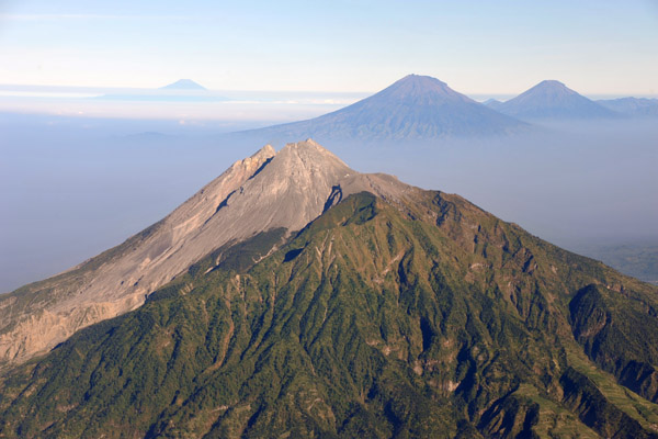
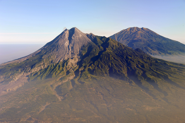 Mt. Merbabu comes into view behind Merapi |
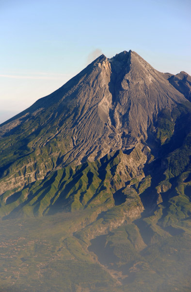
 Deep gash on the south side of Gunung Merapi |
 The flanks of the volcano are intensively farmed |
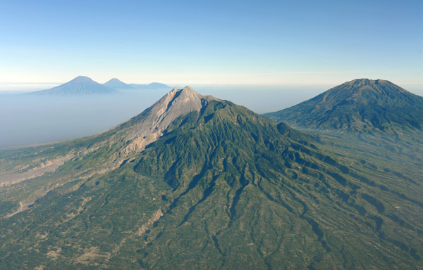
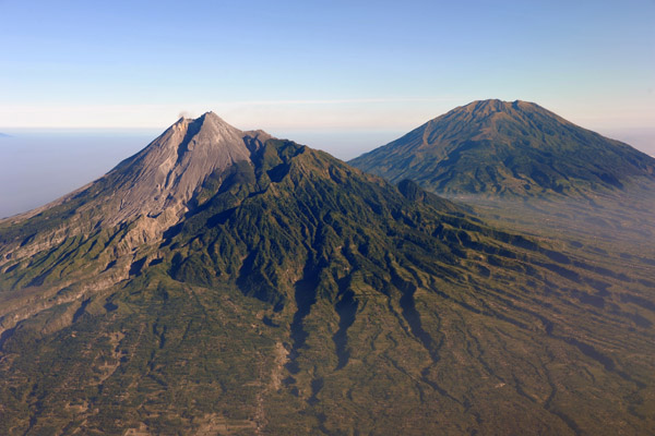 Gunung Merapi and Gunung Merbabu |
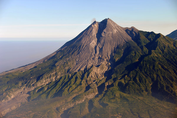
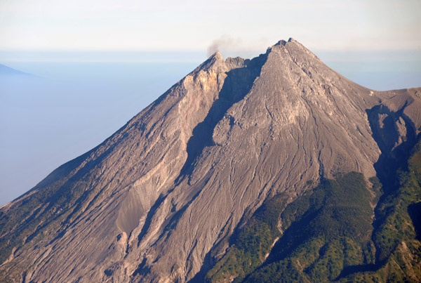 A wisp of smoke rises from the lip of Mt. Merapi |
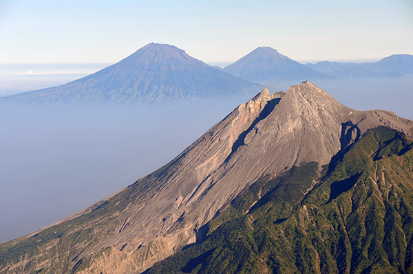
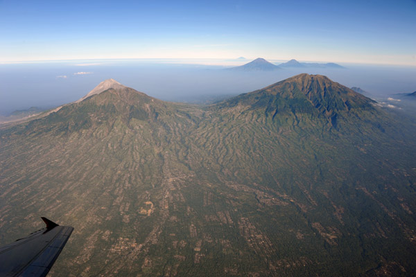
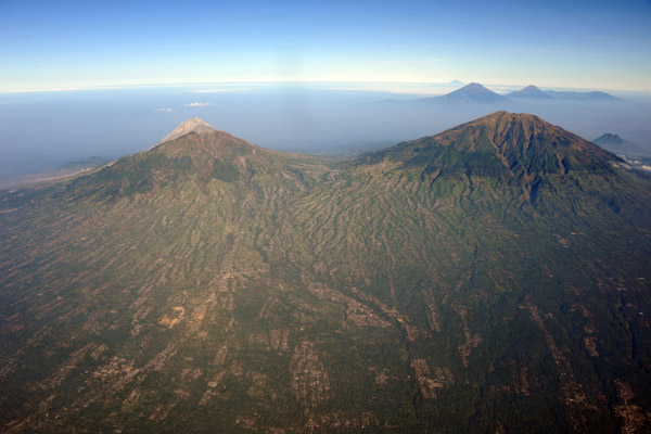
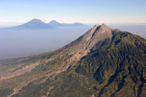 Looking west past Mt. Merapi to the central Java volcanoes of Sumbing, Sundoro and the Dieng Plateau |
 Fly-by of Mt. Merapi, Indonesia |
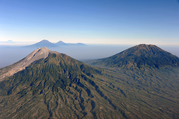
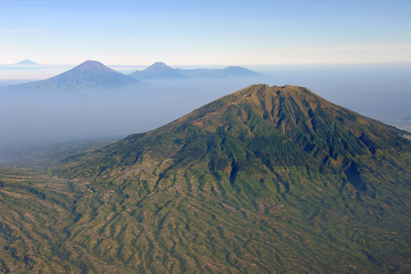
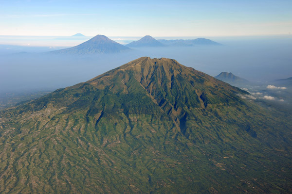
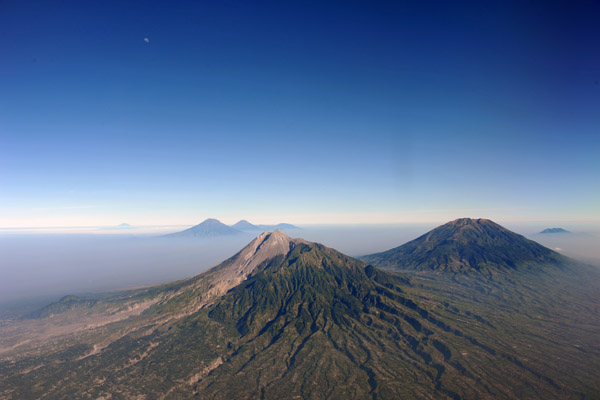 The volcanoes of Central Java, Indonesia |
 Mt. Merapi, Indonesia - highly active |
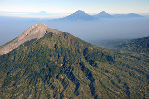
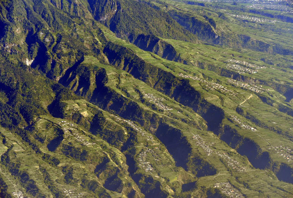 Deep valleys eroded into the fertile land on the north slope of Mt. Merapi |
 The volcanoes Merapi and Merbabu, Indonesia |
 Eastern side of Mt. Merapi, Central Java |
 Mt. Merapi from the northeast |
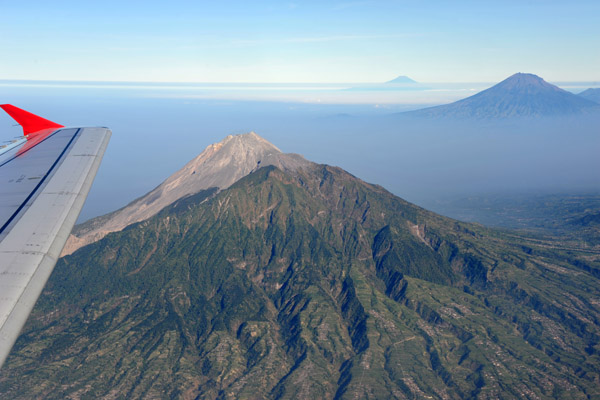 Air Asia over Central Java - Yogyakarta to Singapore |
 Mt. Merbabu - 3145m (10,318ft) - "Mountain of Ash" |
 Climbing out of Yogyakarta, Indonesia |
 Mt. Merbabu last erupted in 1797 |
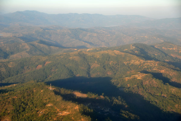
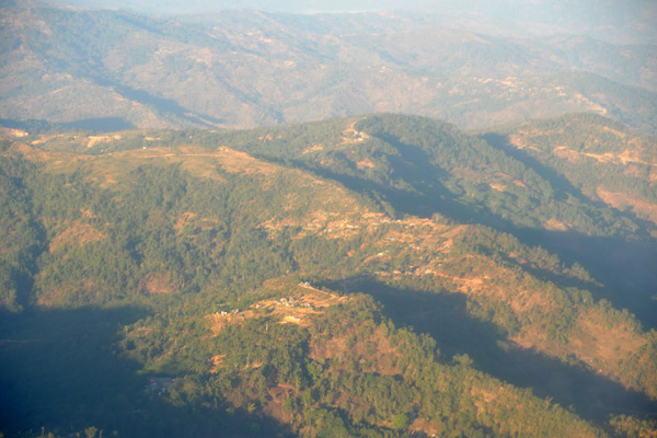
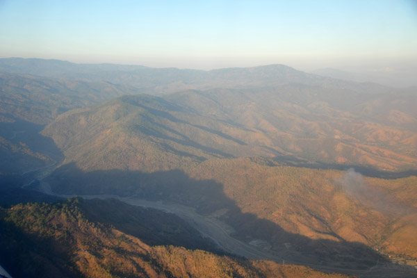
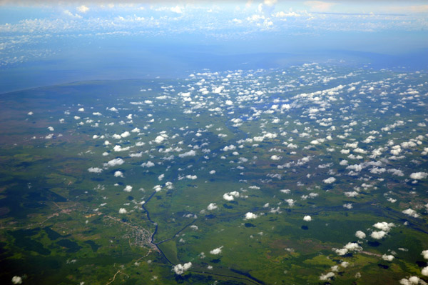
 Central Java, Indonesia |
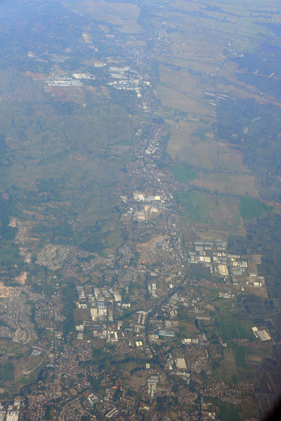 The road leading west from Semarag, Central Java |
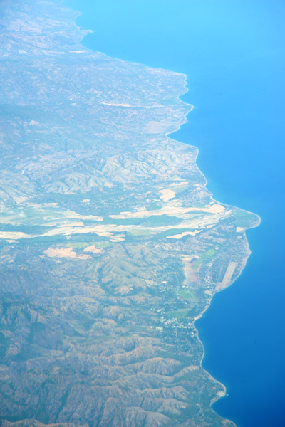
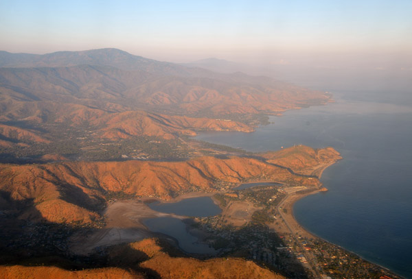
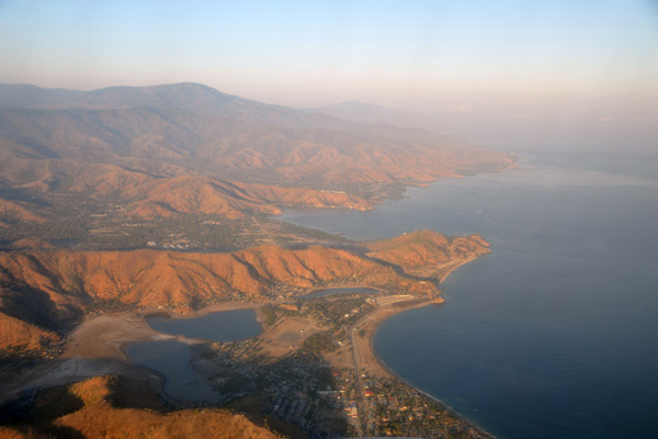
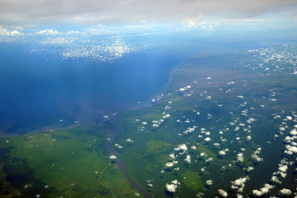
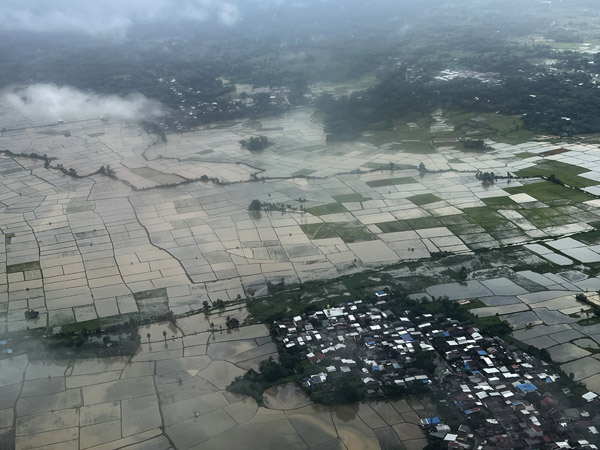
 South coast of Timor-Leste |
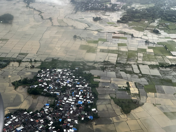
 Timor-Leste |
 Timor-Leste |
 Timor-Leste |
 Timor-Leste |
 Timor-Leste |
 Timor-Leste |
 Timor-Leste |
 Tasi Tolu, Timor-Leste |
 Tasi Tolu, Timor-Leste |
 Tasi Tolu, Timor-Leste |
 Timor-Leste |
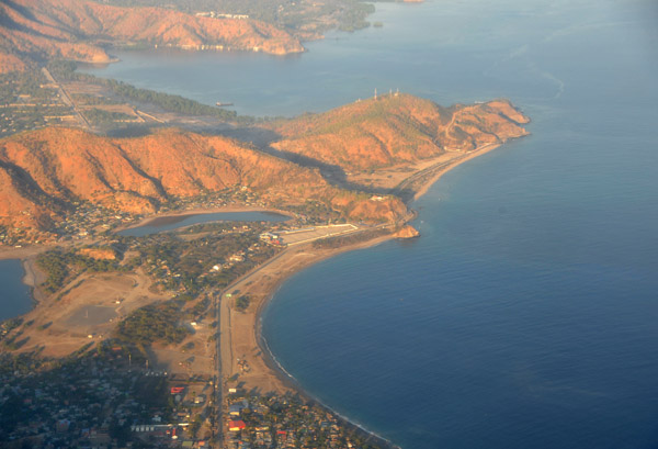
 Approach to Dili, Timor-Leste |
 Volcano, Eastern Java, Indonesia |
 Domas and Pulau Pangjang, West Java, Indonesia |
 Domas, West Java, Indonesia |
 Domas, West Java, Indonesia |
 Sunset, Sumatra, Indonesia |
 Sunset, Sumatra, Indonesia |
 Sunset, Sumatra, Indonesia |
 Sunset, Sumatra, Indonesia |
 Sunset, Sumatra, Indonesia |
 Pulau Enggano, off the south coast of Sumatra, Indonesia |
 Clouds over the Indian Ocean off the south coast of Sumatra at dusk |
 Sumatra, Indonesia |
 Sumatra, Indonesia |
 Lake Maninjau, Sumatra, Indonesia |
 Mount Marapi, Tanah Datar Regency, West Sumatra, Indonesia |
 Mount Marapi, Tanah Datar Regency, West Sumatra, Indonesia |
 Lembata, East Nusa Tenggara, Lesser Sunda Islands, Indonesia |
 Lewotolo Volcano, Lembata, Lesser Sunda Islands, Indonesia |
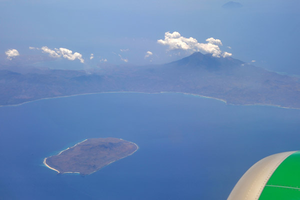
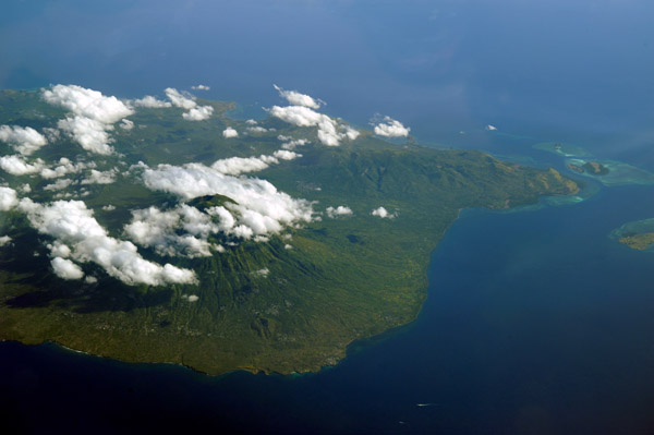
 Southwest Lombok, Indonesia, with Mount Agung on Bali |
 Garuda behind the Ayana Resort south of Bali Airport, Indonesia |
 Gunung Seminung and Lake Ranau, Sumatra |
 Gunung Seminung and Lake Ranau, Sumatra |
 Gunung Seminung and Lake Ranau, Sumatra |
 Beach east of Linau, Kaur Regency, Sumatra, Indonesia |
 South Bengkulu Regency, Sumatra, Indonesia |
 Manna, South Bengkulu Regency, Sumatra, Indonesia |
 East end of Pulau Pagai-selatan, Indonesia |
 East end of Pulau Pagai-selatan, Indonesia |
 Lovely cove on the south shore of Pulau Pagai-selatan, Indonesia |
 Lovely cove on the south shore of Pulau Pagai-selatan, Indonesia |
 Pulau Sipura off Sumatra, Indonesia |
 Oecussi (Ambeno), East Timor enclave |
 Oecussi (Ambeno), East Timor enclave |
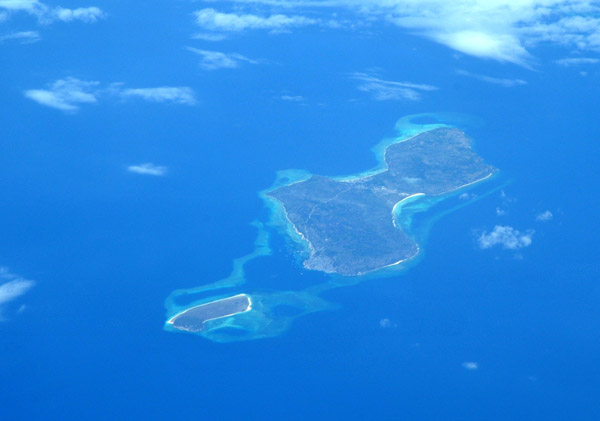
 Pulau Pura, Alor Regency, East Nusa Tenggara, Indonesia |
 Volcano Iliboleng (1659m/5,443ft), Adonara Island, Flores, Indonesia |
 Volcano Iliboleng (1659m/5,443ft), Adonara Island, Flores, Indonesia |
 Volcano Iliboleng (1659m/5,443ft), Adonara Island, Flores, Indonesia |
 East Flores Regency, East Nusa Tenggara, Indonesia |
 Gewayantana Larantuka Airport, Ile Mandiri, East Nusa Tenggara, Indonesia |
 Kongai Baai, East Flores Regency, East Nusa Tenggara, Indonesia |
 Pulau Kongai, East Flores Regency, East Nusa Tenggara, Indonesia |
 Hading-baai, East Flores Regency, East Nusa Tenggara, Indonesia |
 Pedang-Baai, East Flores Regency, East Nusa Tenggara, Indonesia |
 Pulau Babi and Kojadoi, East Alok Sikka Regency, East Nusa Tenggara, Indonesia |
 Pulao Pomana-besor, Alok, Sikka Regency, East Nusa Tenggara, Indonesia |
 Pulau Babi and Kojadoi, East Alok Sikka Regency, East Nusa Tenggara, Indonesia |
 Pulao Pomana-besor, Alok, Sikka Regency, East Nusa Tenggara, Indonesia |
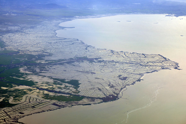
 Teluk Kulang, West Kotawaringin Regency, Kalimantan, Indonesia (Borneo) |
 Koealasapo, Tanjung Putri, South Arut, West Kotawaringin Regency, Kalimantan, Indonesia (Borneo) |
 Central Kalimatan, Indonesia (Borneo) |
 Gunung Semeru (3676m/12,060ft) with what could be a small cloud of volcanic ash, East Java, Indonesia |
 Mount Bromo with Gunung Semeru in the background, East Java, Indonesia |
 Gunung Semeru (3676m/12,060ft), East Java, Indonesia |
 Agricultural fields on the northeastern slope of Mount Bromo, East Java, Indonesia |
 Hang Nadim International Airport (BTH/WIDD), Batam, Indonesia (WIDD) |
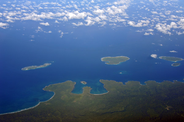
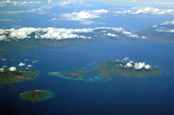
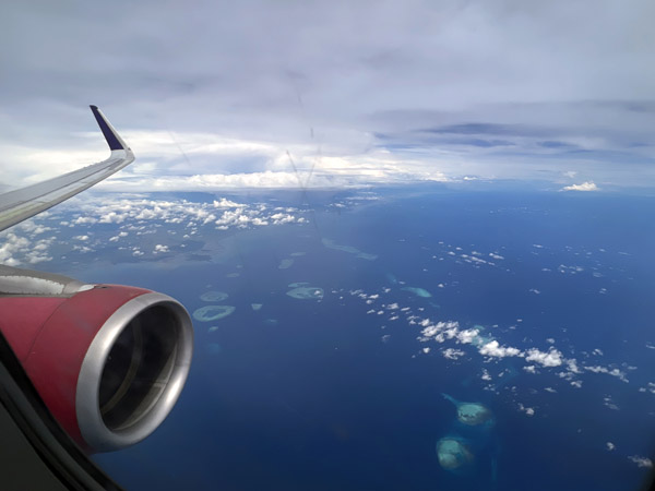
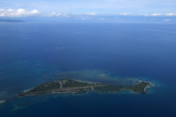
 Northwestern Bintan Island, Riau Islands Province, Indonesia |
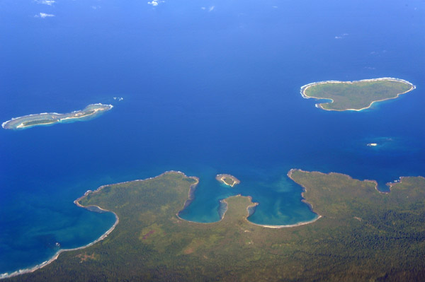
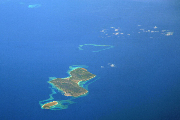
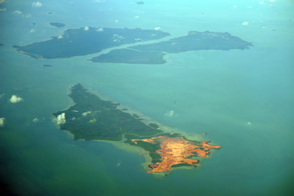
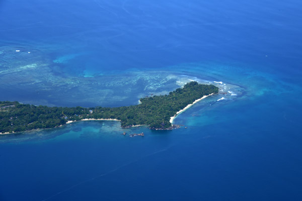
 Pulau Mantang, south of Bintan Island, Riau Islands Province, Indonesia |
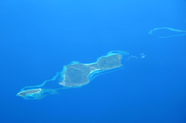
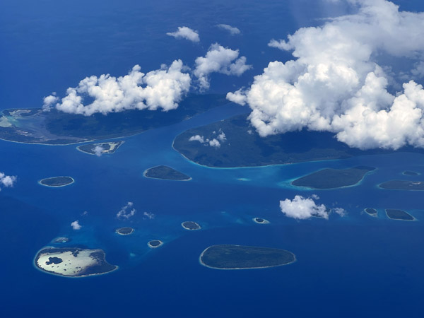
 Pulau Telan, Pulan Gin Besar, Pulau Numbing, Riau Islands Province, Indonesia |
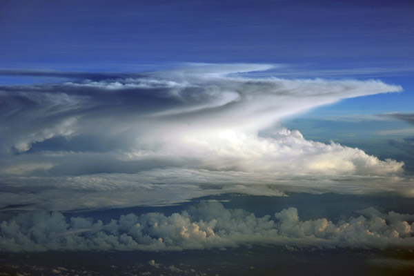
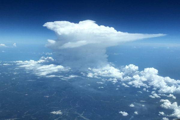 Thunderstorm with well defined anvil over Indonesia |
 Bali |
 Bali |
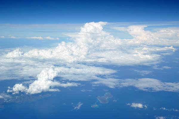
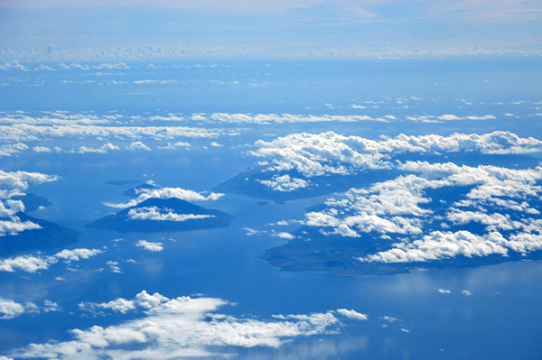
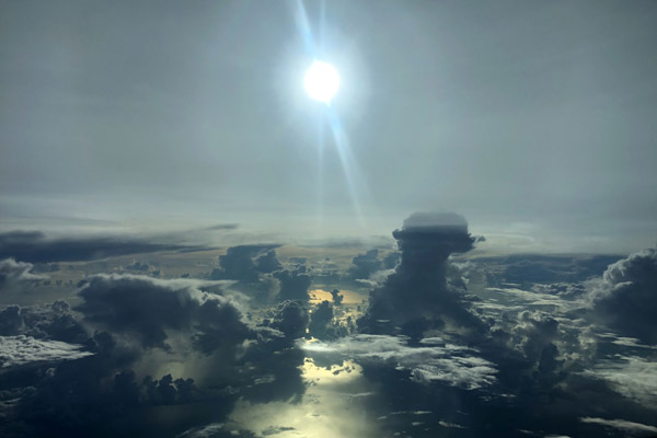 Towering clouds over Indonesian waters |
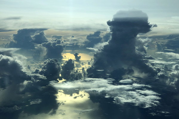 Towering clouds over Indonesian waters |
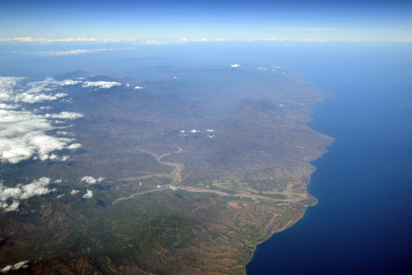
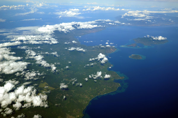
 Southeast coast of Sulawesi - UPG-SOQ |
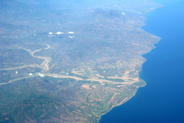
 Southeast coast of Sulawesi - UPG-SOQ |
 WestPapua Nov22 003.jpg |
 Peninsula at the western tip of Batanta, Raja Ampat, Indonesia |
 Sorong Bay, West Papua |
 Northeast corner of Salawati, Raja Ampat |
 Sorong Bay, West Papua |
 Forests of Sorong Regency, West Papua |
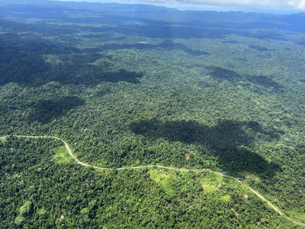 Road through the forest of Sorong Regency, West Papua |
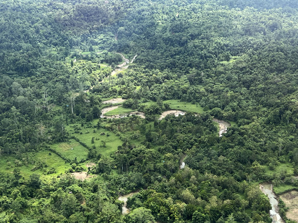 River and forest clearing, Sorong Regency, West Papua |
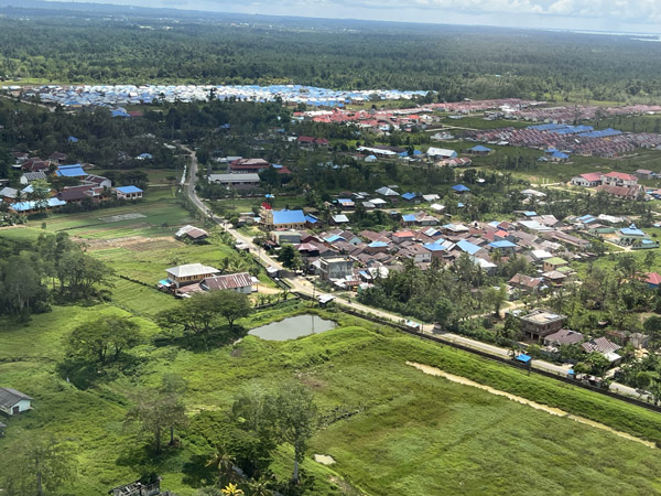
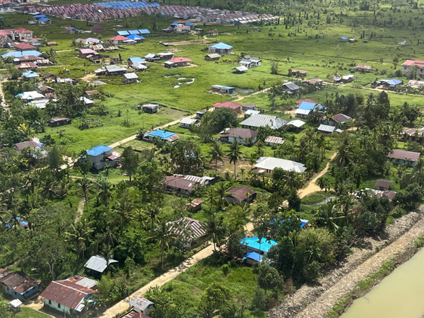
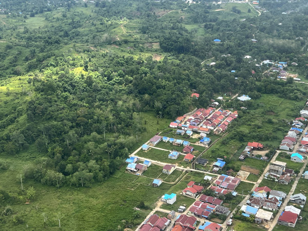 Outskirts of Sorong, West Papua |
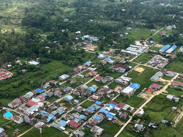 Outskirts of Sorong, West Papua |
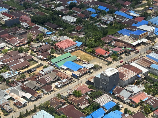 Jl. A.M. Sangaji Gonof, Kota Sorong, West Papua |
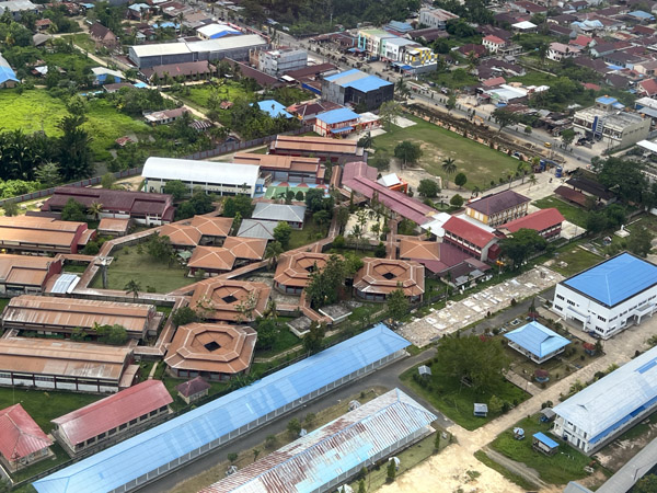 SMK Negeri 3, Kota Sorong, West Papua |
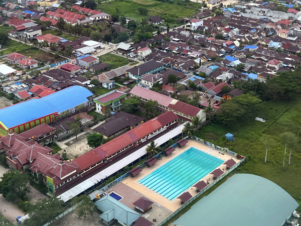 Kolam Renang Vira Yudha Sakti, Kota Sorong, West Papua |
 Gedung Tongkonan Toraya, Kota Sorong, West Papua |
 Landing west at Sorong Airport, West Papua |
 Landing west at Sorong Airport, West Papua |
 Departing to the west from Sorong Airport, West Papua |
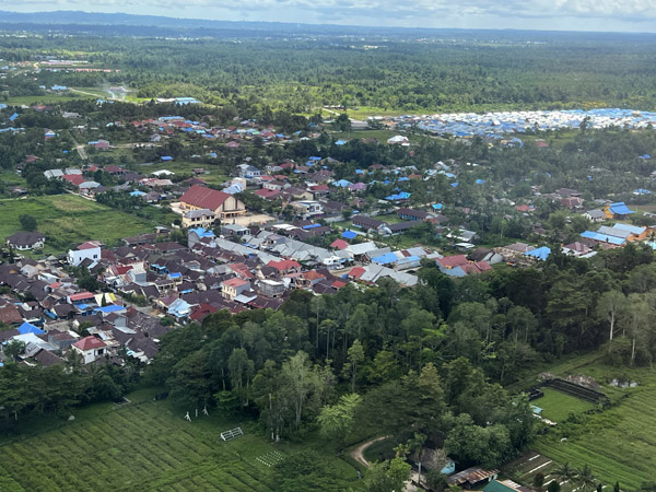
 Kota Sorong, West Papua |
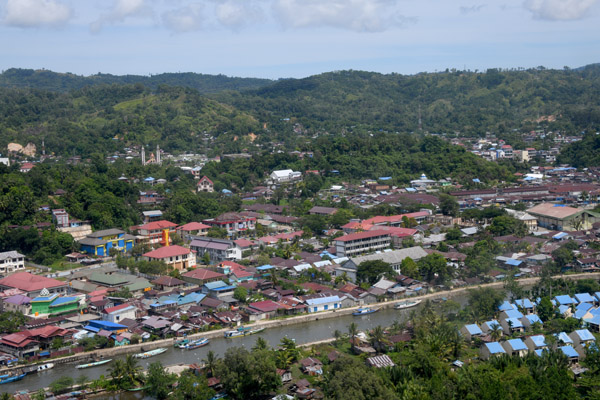 River of Kota Sorong, West Papua |
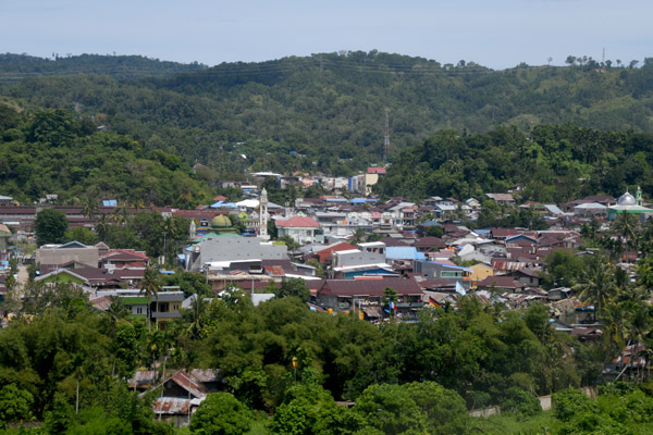
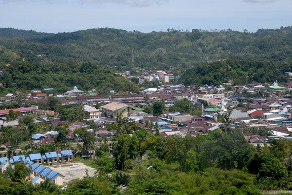
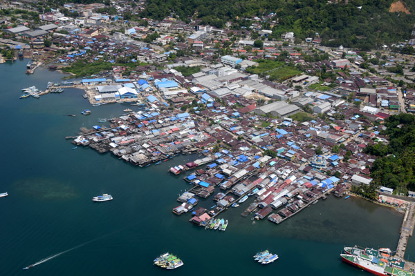
 Sorong, West Papua |
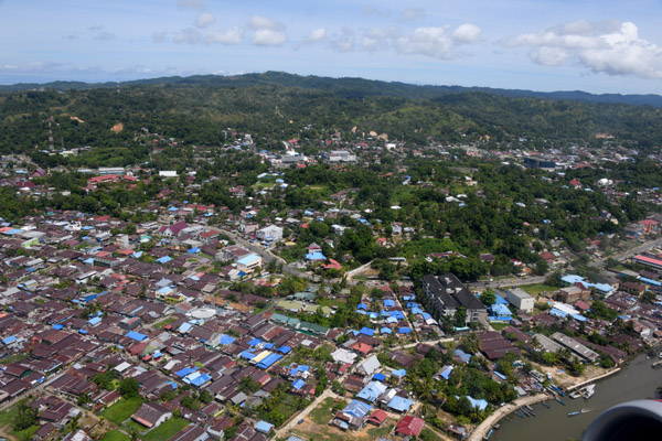
 Sorong, West Papua |
 Sorong, West Papua |
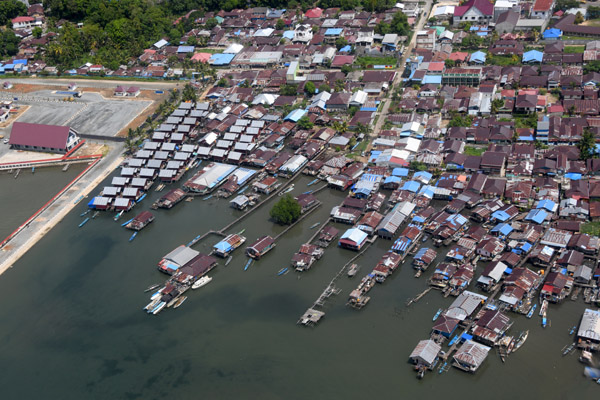 Sorong, West Papua |
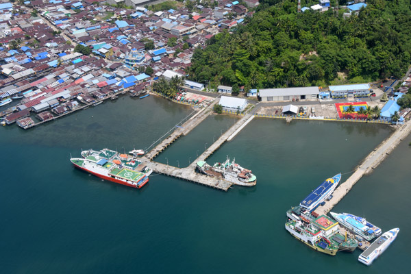 Ferry piers, Port of Sorong, West Papua |
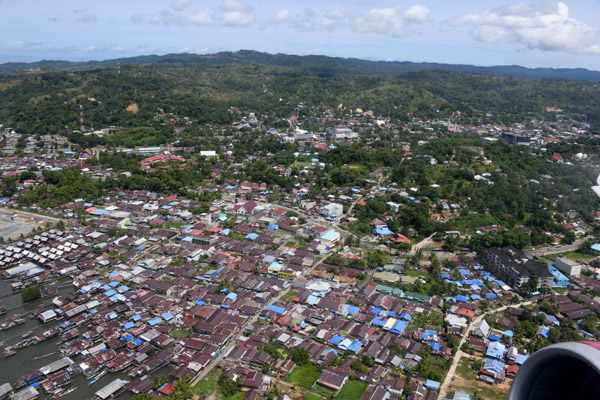
 Sorong, West Papua |
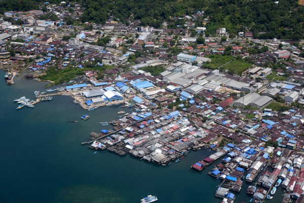 Sorong, West Papua |
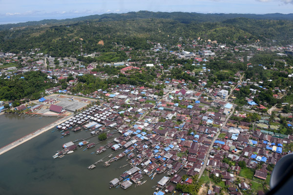
 West end of Sorong, West Papua |
 Port of Sorong, West Papua |
 Pulau Doom Tanah Papua, Sorong Bay, West Papua |
 Pulau Doom Tanah Papua, Sorong Bay, West Papua |
 Sorong Bay, West Papua |
 Pulau Tsiof, Sorong Bay, West Papua |
 Northeast end of Pulau Yefman, Sorong Bay, West Papua |
 Pulau Yefman, Sorong Bay, West Papua |
 Pulau Yefman, Sorong Bay, West Papua |
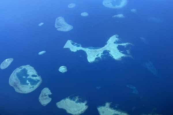
 Reefs of Sorong Bay, West Papua |
 Northwest corner of Salawati with Bantanta, Raja Ampat, West Papua |
 Northwest corner of Salawati with Bantanta, Raja Ampat, West Papua |
 Northwest coast of Salawati , Raja Ampat, West Papua |
 Sulawesi Nov22 1647.jpg |
 Sulawesi Nov22 1648.jpg |
 Sulawesi Nov22 1649.jpg |
 Sulawesi Nov22 1650.jpg |
 Sulawesi Nov22 1652.jpg |
 Sulawesi Nov22 1653.jpg |
 Sulawesi Nov22 1654.jpg |
 Sulawesi Nov22 1655.jpg |
 Sulawesi Nov22 1657.jpg |
| comment | share |