


|
|
|
|
|
|
| Brian McMorrow | profile | all galleries >> Aviation >> Aerial Photos >> Aerials-North America >> Aerials - Canada & Alaska | tree view | thumbnails | slideshow |
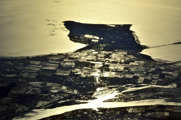
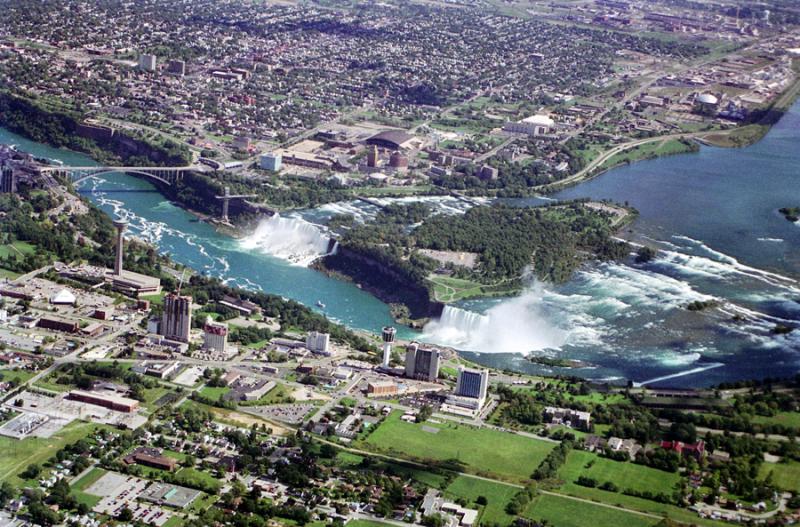 Niagara Falls, New York-Ontario, Canada |
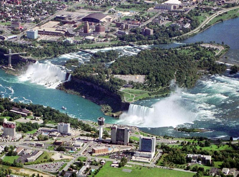 Niagara Falls, New York-Ontario, Canada |
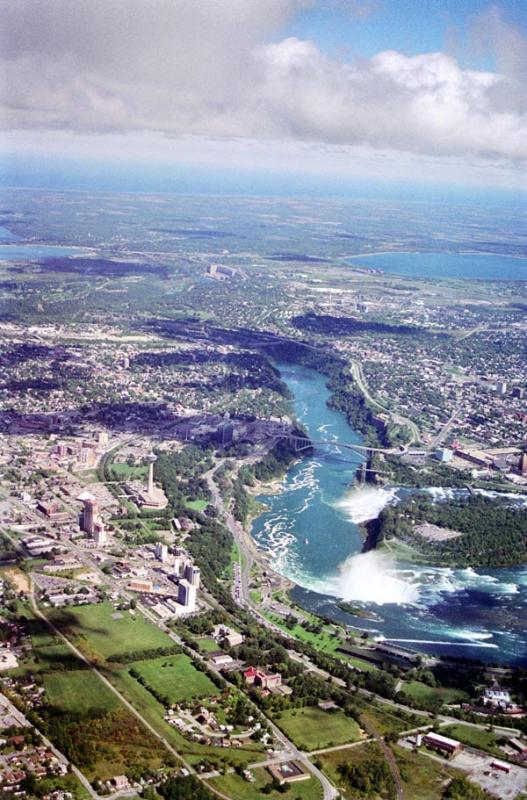 Niagara Falls aerial |
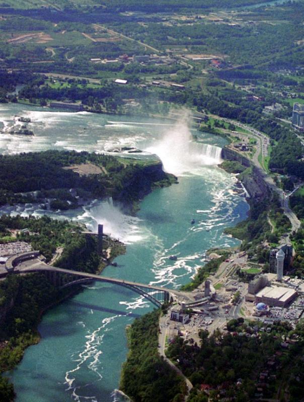 Niagara Falls aerial |
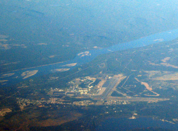 Goose Bay, Labrador, Canada |
 Our contrail against the glaciated terrain of Labrador, Canada |
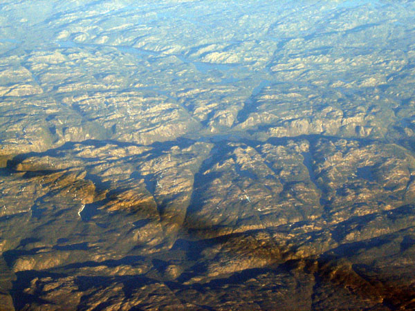
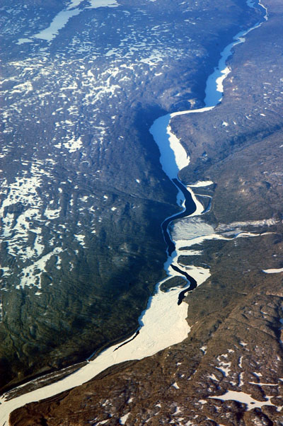
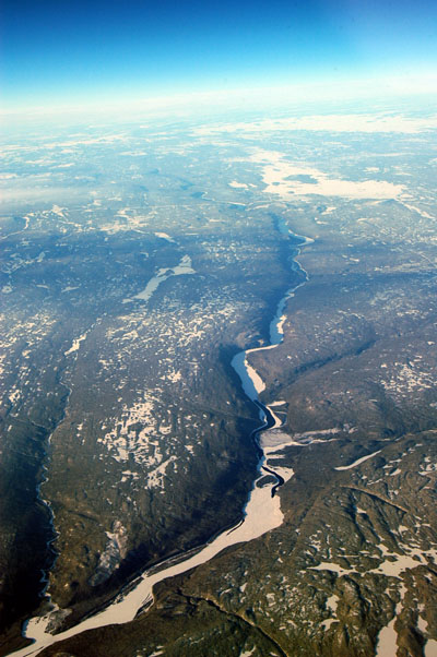
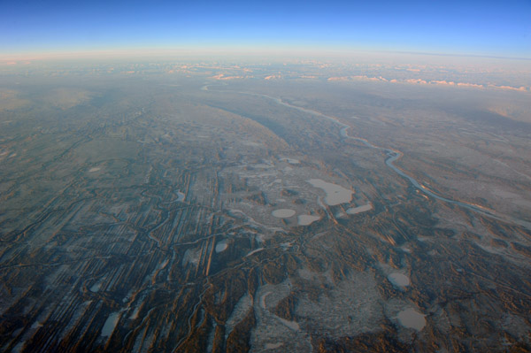
 Labrador, Canada (50 58N/063 22W) |
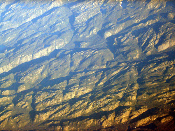
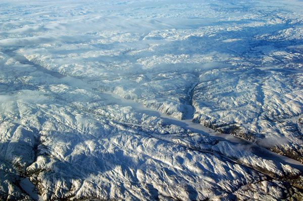
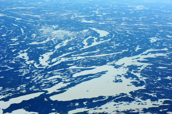
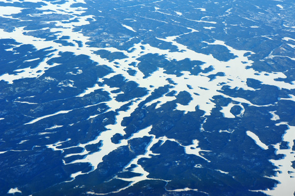
 Labrador, Canada (55 31N/060 58W) |
 Labrador, Canada (55 31N/060 58W) |
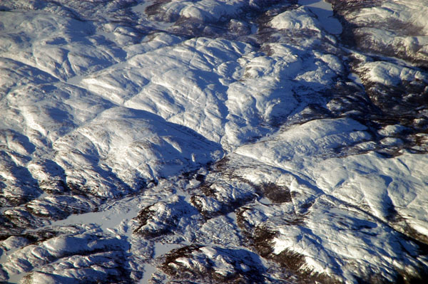
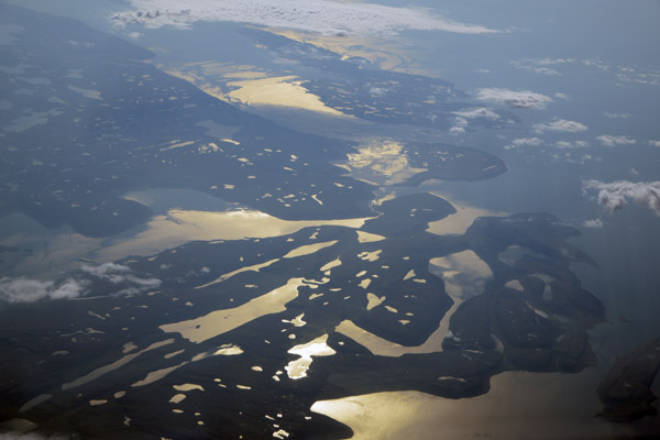
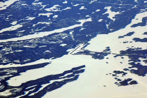
 Labrador, Canada (55 01N/ 061 25W) |
 Labrador, Canada (55 01N/ 061 25W) |
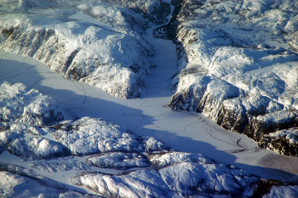
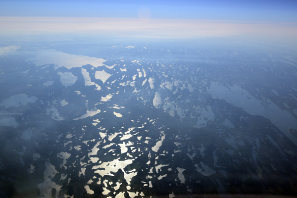
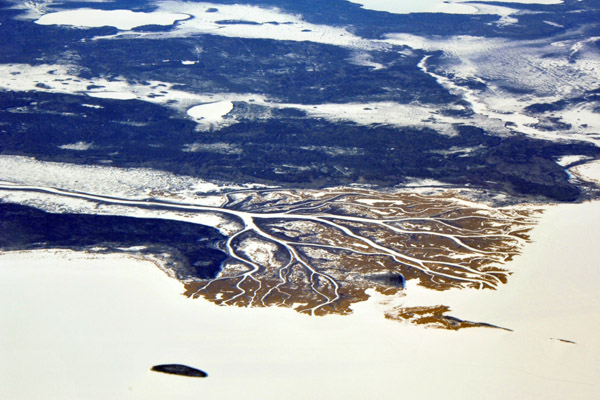
 Labrador, Canada (53 11N/063 03W) |
 Labrador, Canada (53 11N/063 03W) |
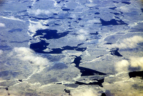 Mostly-frozen Gulf of St. Laurence, Canada |
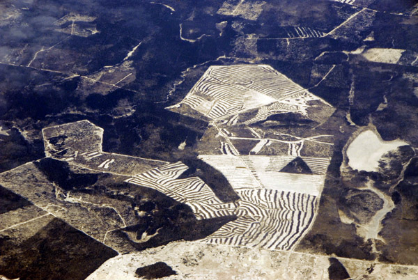 Logging in New Brunswick, Canada |
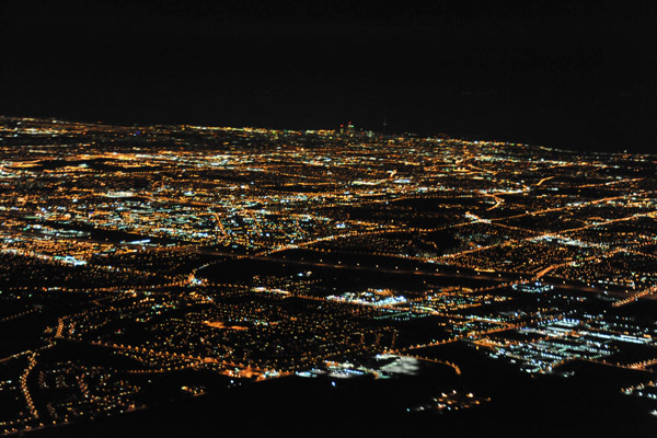
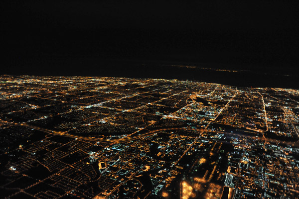
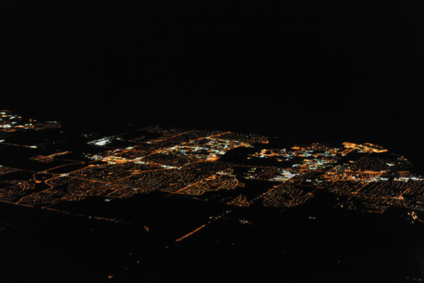
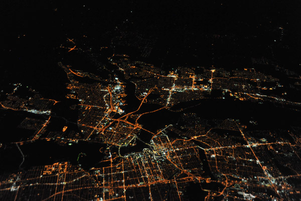
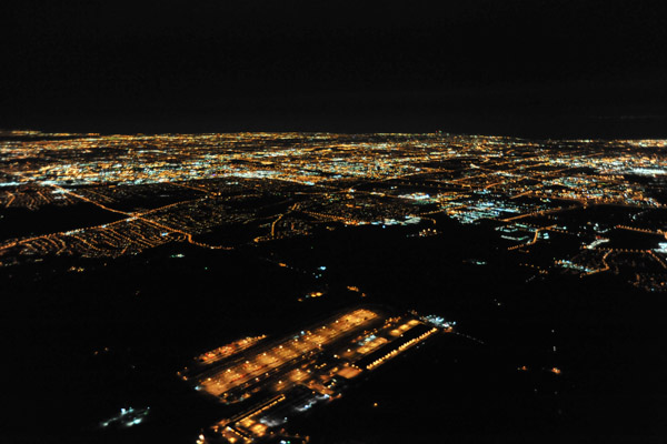 Night aerial of Toronto, Ontario, from the northwest |
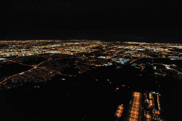
 Night aerial of Toronto, Ontario, Canada |
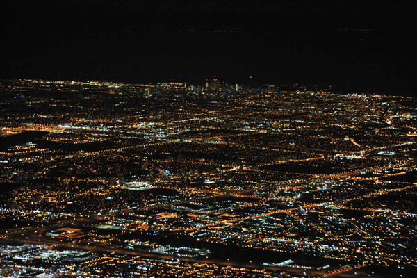
 Night aerial of Toronto, Ontario |
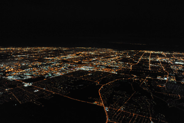
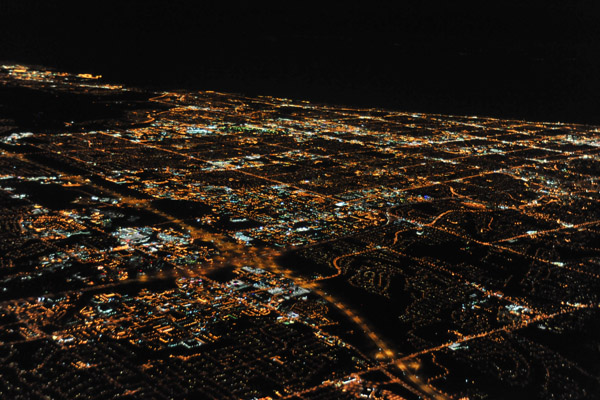
 Night aerial of Toronto, Ontario and its sprawling suburbs |
 Night aerial of Toronto, Ontario |
 Night aerial of Toronto, Ontario |
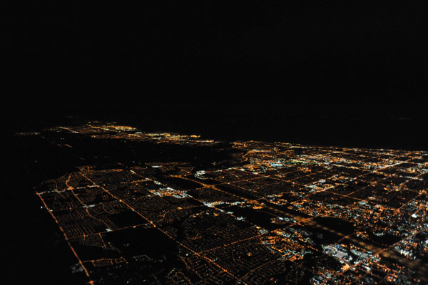
 Eastern suburbs of Toronto, Ontario |
 Eastern suburbs of Toronto, Ontario |
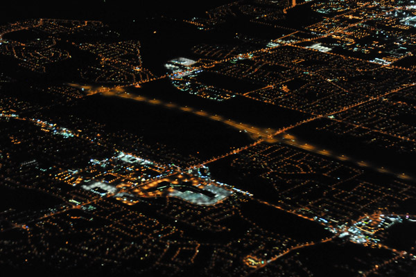 Eastern suburbs of Toronto, Ontario |
 Eastern suburbs of Toronto, Ontario |
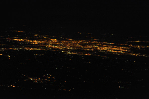
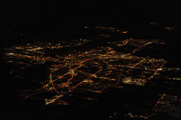 Night aerial of Ottawa, Ontario, the capital of Canada |
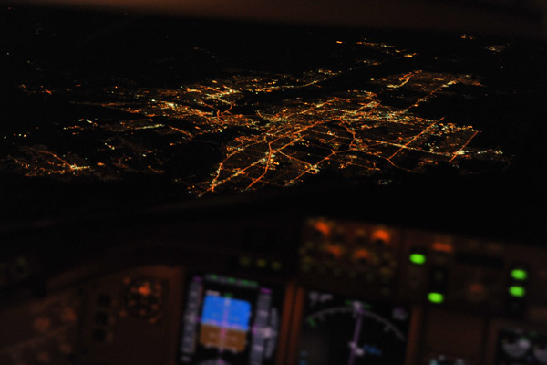 Boeing 777 over Ottawa, Canada |
 Ottawa, Ontario and Hull, Quebec - Canada |
 Ottawa, Ontario and Hull, Quebec - Canada |
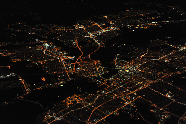
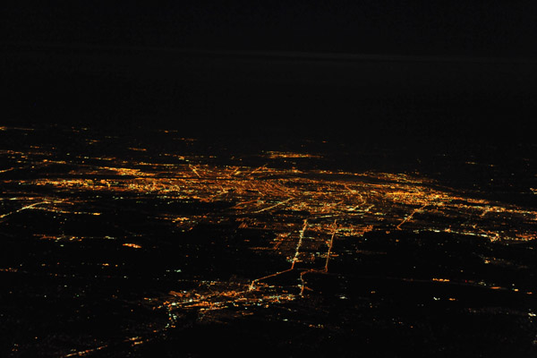
 Night aerial of Montreal, Quebec |
 Montreal, Quebec, Canada |
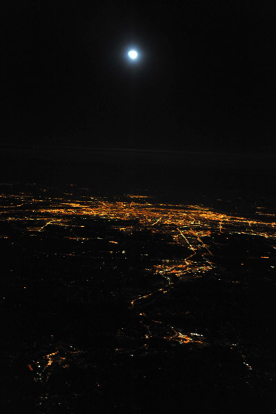
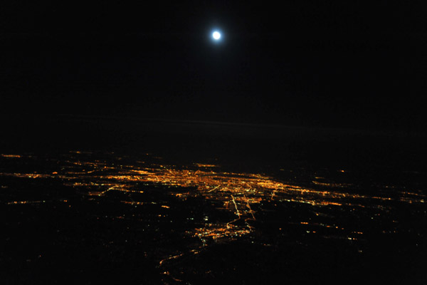 Full moon over Montreal, Quebec, Canada |
 Full moon over Montreal |
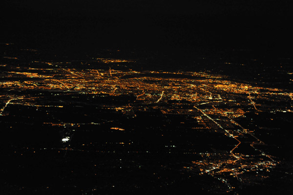 Night aerial of Montreal, Quebec, from the north |
 Lake by Norman Wells, Northwest Territories |
 MacKenzie River, Norman Wells, Northwest Territories |
 Frozen MacKenzie River, near Norman Wells, Northwest Territories |
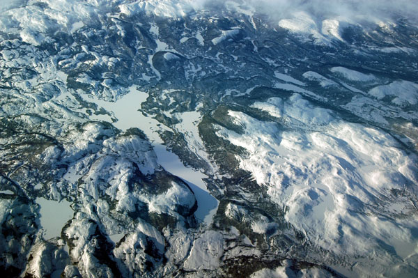
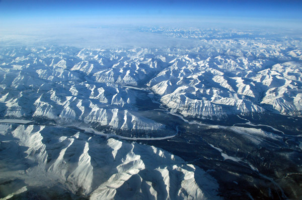
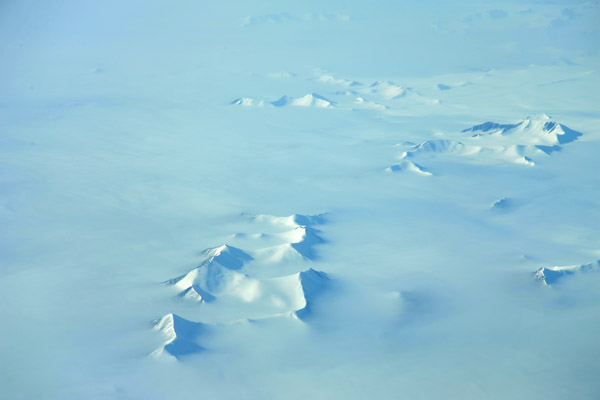
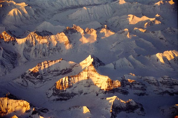
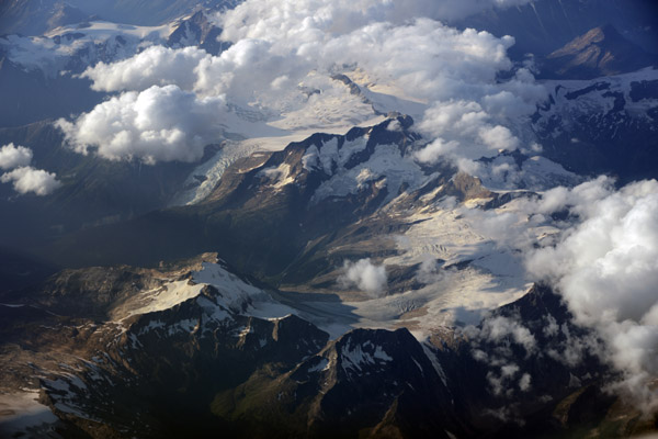
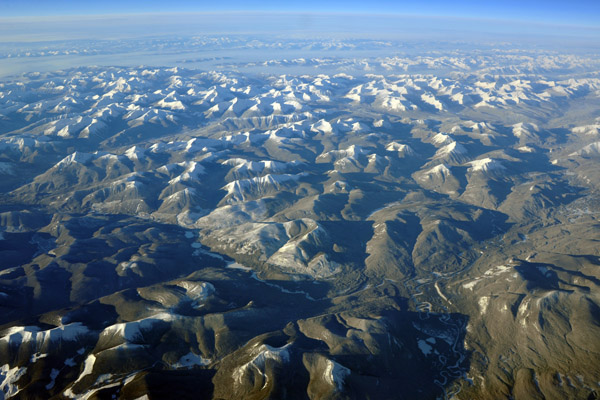
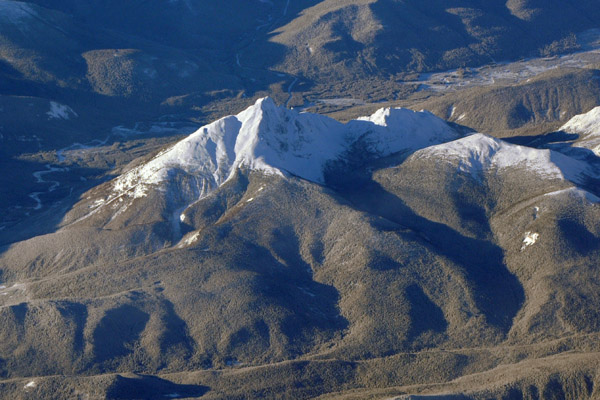
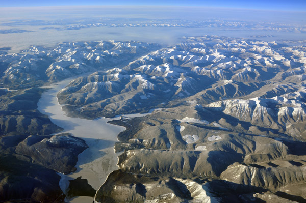
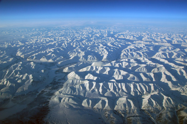 Mackenzie Mountains, Nahanni National Park, Northwest Territories |
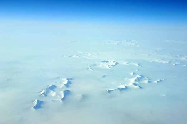
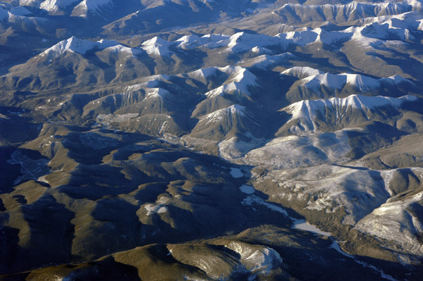
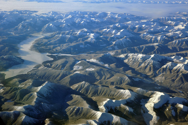
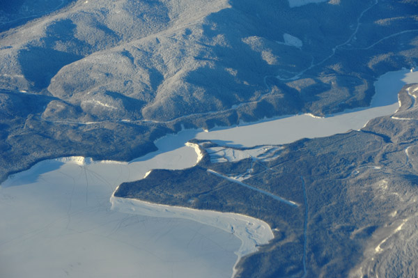
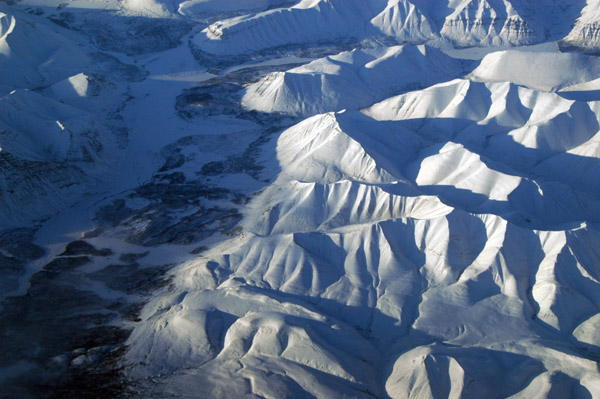 Mackenzie Mountains, Nahanni National Park, Northwest Territories |
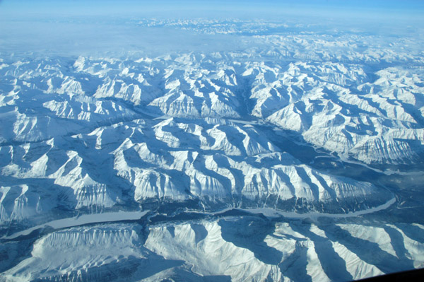
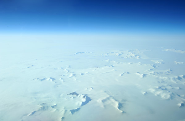
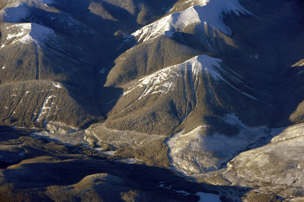
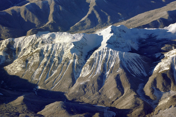
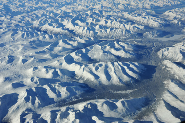
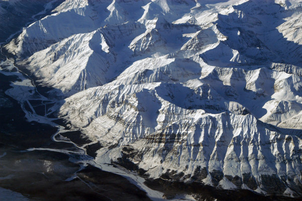 Mackenzie Mountains, Nahanni National Park, Northwest Territories |
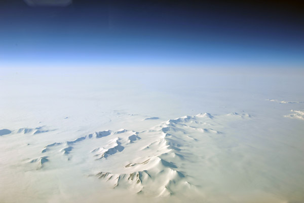
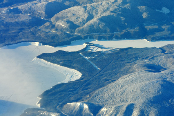
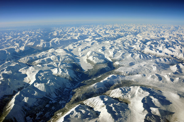
 Mackenzie Mountains, Nahanni National Park, Northwest Territories |
 Mackenzie Mountains, Nahanni National Park, Northwest Territories |
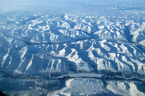 Mackenzie Mountains, Nahanni National Park, Northwest Territories |
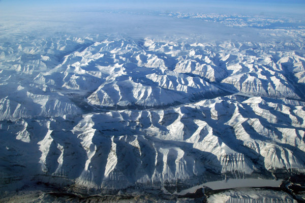 Mackenzie Mountains, Nahanni National Park, Northwest Territories |
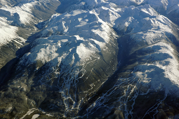
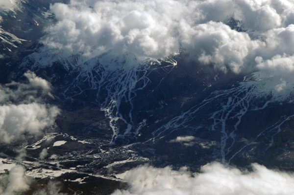 Whistler-Blackcombe, British Columbia |
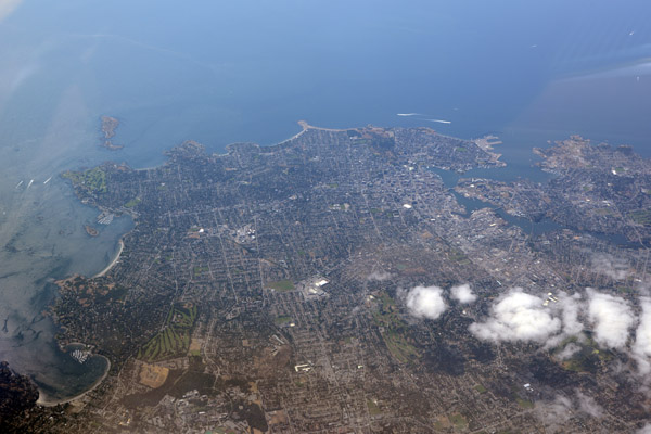
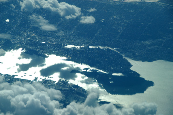 Vancouver, British Columbia |
 Vancouver, British Columbia |
 Lincoln Sea, Arctic Ocean, near Alert, Nunavut |
 Ellesmere Island, Nunavut (N82 36/W068 19) |
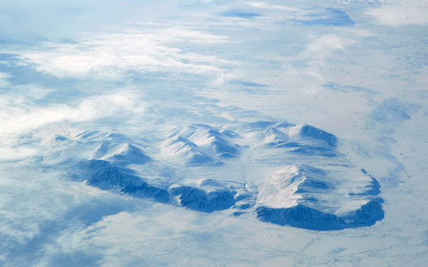
 Mountains on Ellesmere Island, Nunavut |
 Ellesmere Island, 10th largest island in the world, pop. 146 |
 Ellesmere Island, Nunavut |
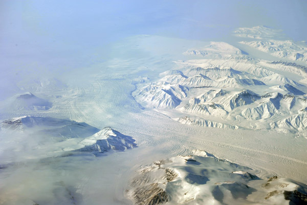 Glacier, Axel Heiberg Island, Qikiqtaaluk Region, Nunavut, Canada |
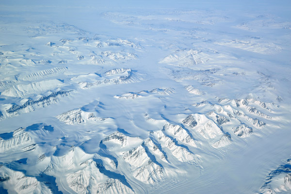 Axel Heiberg Island, Qikiqtaaluk Region, Nunavut, Canada |
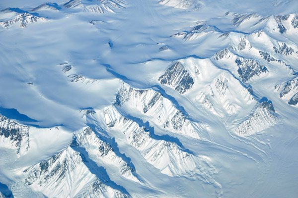 Axel Heiberg Island, Qikiqtaaluk Region, Nunavut, Canada |
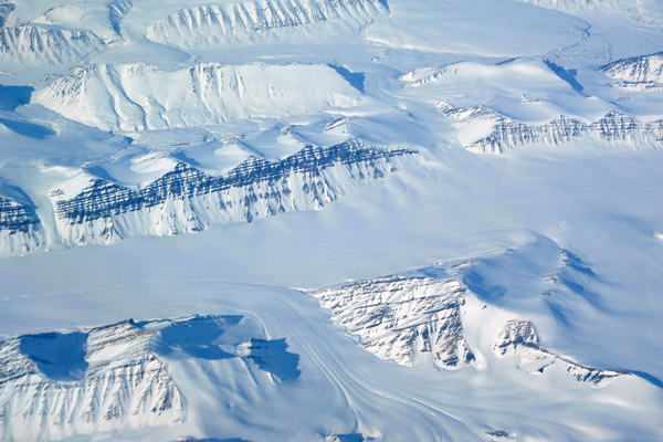 Axel Heiberg Island, Qikiqtaaluk Region, Nunavut, Canada |
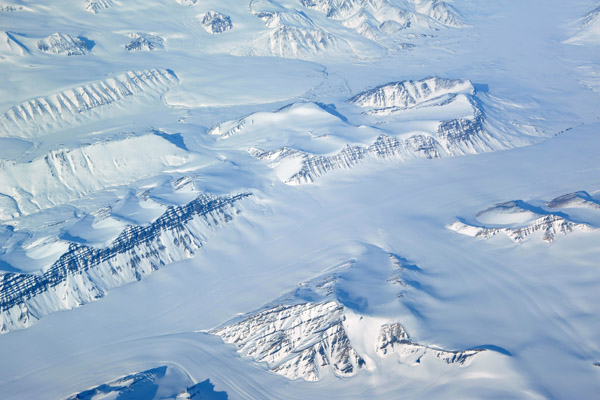 Axel Heiberg Island, Qikiqtaaluk Region, Nunavut, Canada |
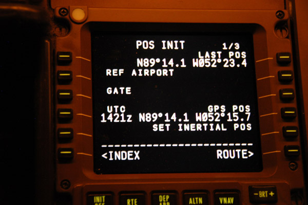
 North Pole |
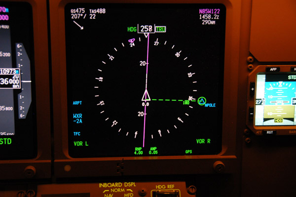
 Very close to the North Pole |
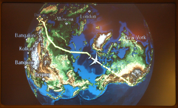 Polar track across western Siberia to the North Pole |
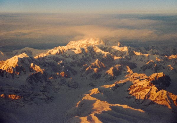 Denali (Mount McKinley), the highest mountain in North America (20,320ft/6194m) |
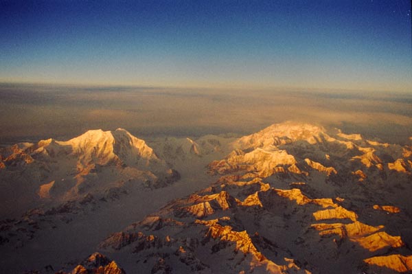 Alaska Range, Mount Foraker (17,400ft) on the left, Denali on the right |
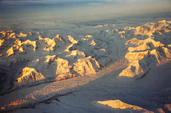 Glacier in the Alaska Range |
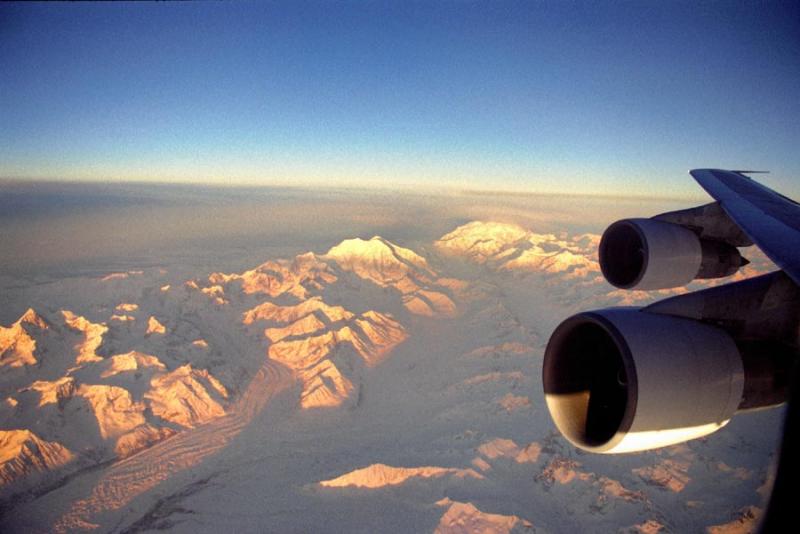 Northwest Airlines 747 over the Alaska Range ORD-NRT |
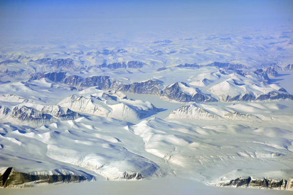
 Northern Greenland |
 Alaska |
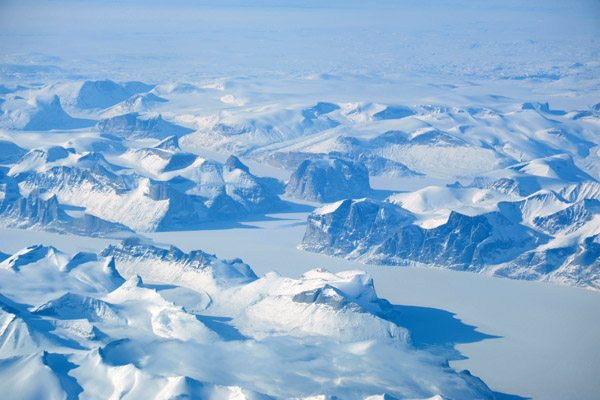
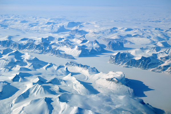
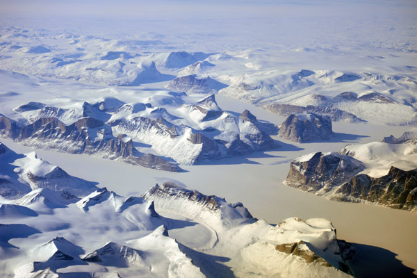
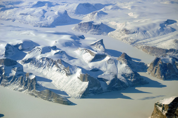
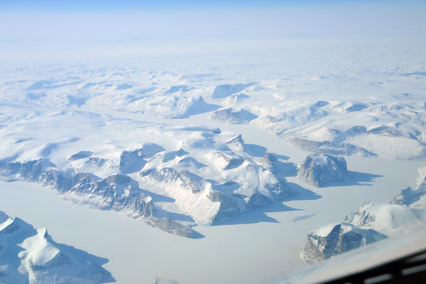
 Ice between Greenland and Baffin Island |
 Baffin Island near Clyde River |
 Baffin Island (N70 34.3/W071 12.2) |
 Baffin Island (N70 34.3/W071 12.2) |
 Baffin Island (N70 34.3/W071 12.2) |
 Baffin Island (N70 34.3/W071 12.2) |
 Baffin Island (N70 34.3/W071 12.2) |
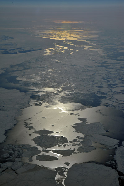
 Frozen sea off the west coast of Baffin near Koch Island (N69) |
 Frozen sea off the west coast of Baffin near Koch Island (N69) |
 Edmonton, Alberta |
 Edmonton, Alberta |
 Alberta, south of Edmonton |
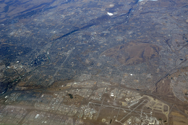
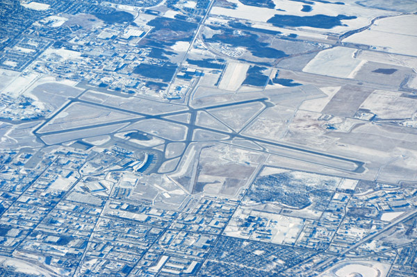
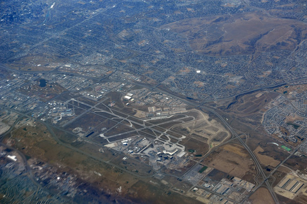 Calgary International Airport (CYYC) |
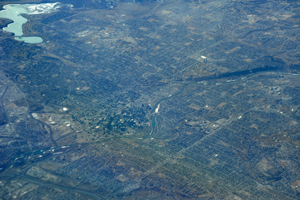
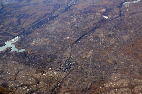
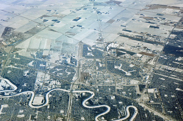
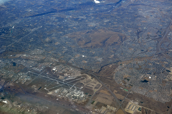 Calgary, Alberta |
 Calgary, Alberta |
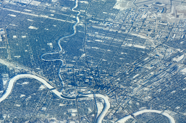
 Downtown Calgary, Alberta |
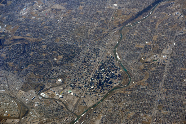 Downtown Calgary, Alberta |
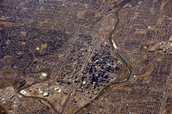 Downtown Calgary, Alberta |
 Calgary, Alberta |
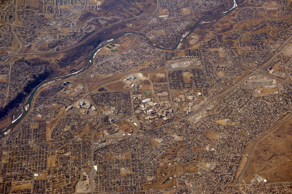 University of Calgary |
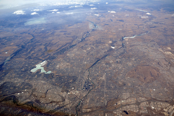 Calgary, Alberta |
 First sight of Frobisher Bay, Nunavut |
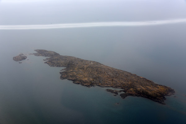 Island in Frobisher Bay 10 km out from the runway at Iqaluit |
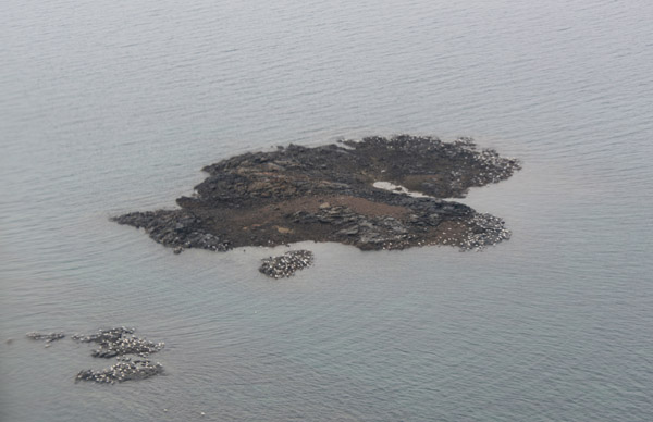
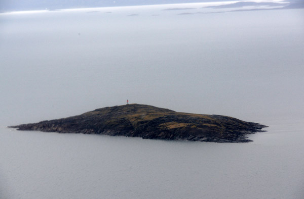 Monument Island with a beacon near Iqaluit, Nunavut |
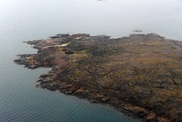 Long Island in Frobisher Bay, Iqaluit - south end |
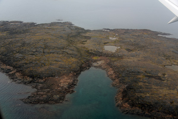 Long Island in Frobisher Bay, Iqaluit - middle |
 Long Island in Frobisher Bay, Iqaluit - north end |
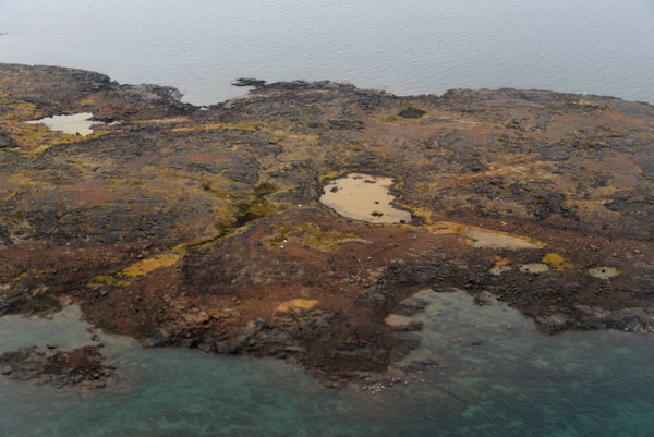
 Small islands off Iqaluit covered with birds |
 Departing Runway 17 at Iqaluit bound for Kangerlussuaq, Greenland (BGSF) |
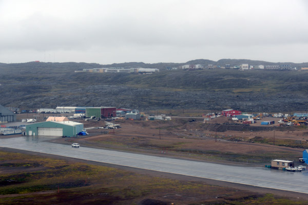
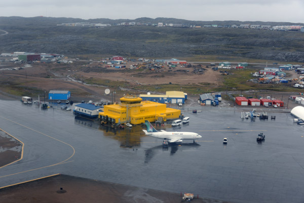 Iqaluit Airport (CYFB) |
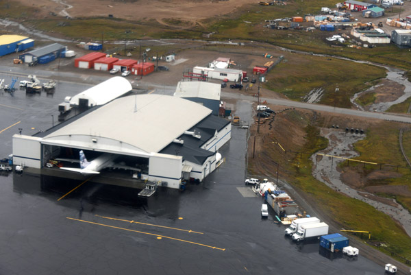 First Air Hanger, Iqaluit |
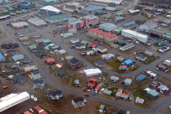
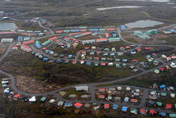
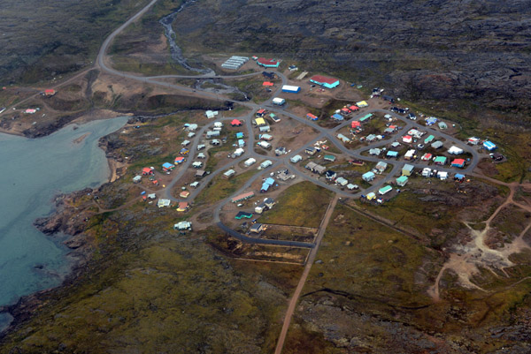
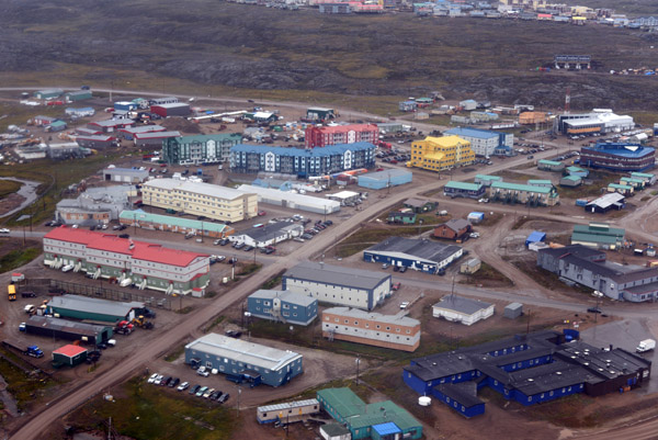 Bustling downtown Iqaluit, population 6600 |
 Iqaluit, capital of the Canadian territory of Nunavut, was called Frobisher Bay until 1987 |
 Aerial photo of the city center of Iqaluit |
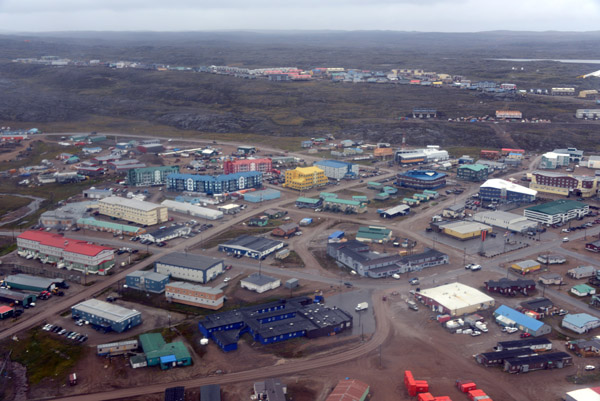
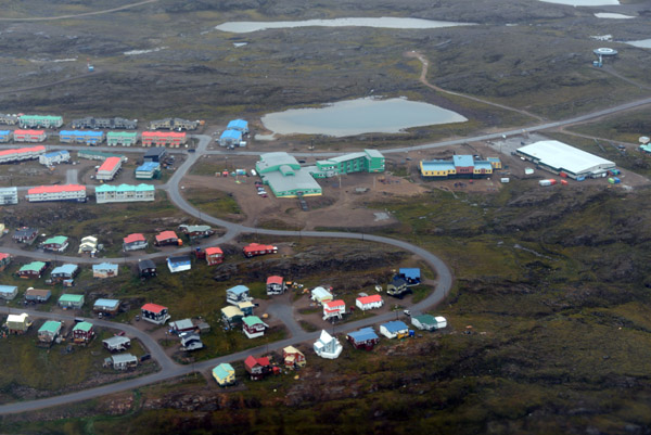
 Iqaluit, Nunavut, Canada |
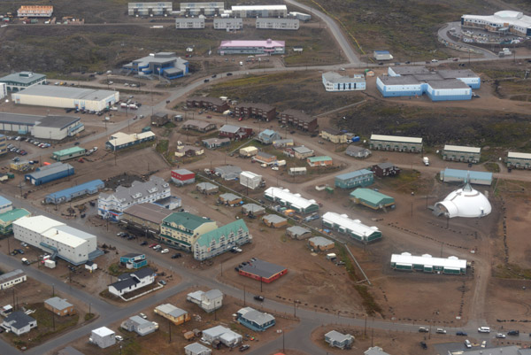 Iqaluit, Nunavut, Canada |
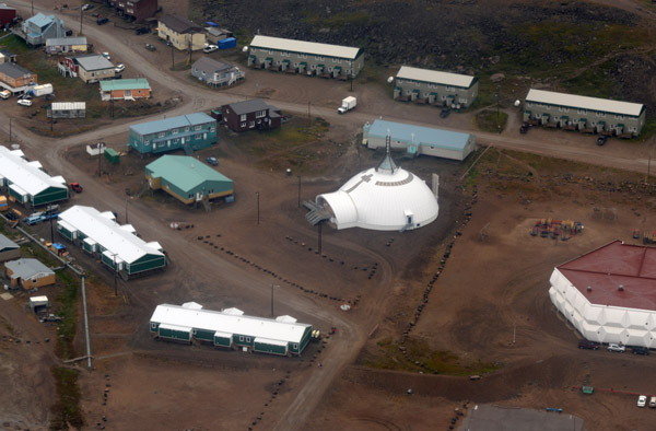 Iqaluit's Cathedral of St. Jude built in the form of an igloo |
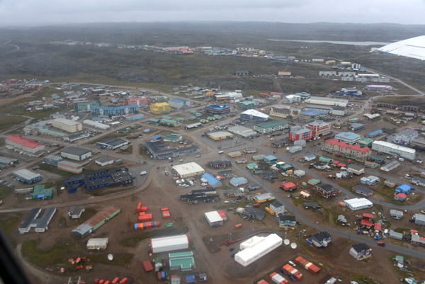
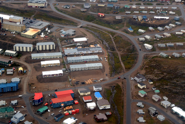 Iqaluit, Baffin Island - Nunavut |
 Iqaluit, Baffin Island - Nunavut |
 Iqaluit, Baffin Island - Nunavut |
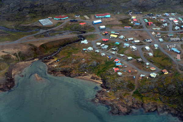 The village of Apex, just south of Iqaluit on the shore of Frobisher Bay |
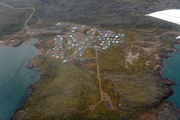 The village of Apex, just south of Iqaluit on the shore of Frobisher Bay |
 The village of Apex, just south of Iqaluit on the shore of Frobisher Bay |
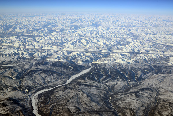 Mackenzie Mountains (N62 35/W124 35), Northwest Territories |
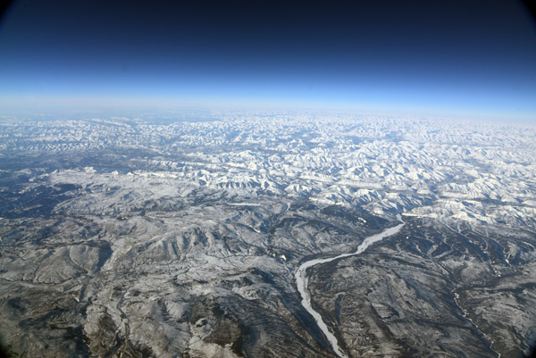 Mackenzie Mountains (N62 35/W124 35), Northwest Territories |
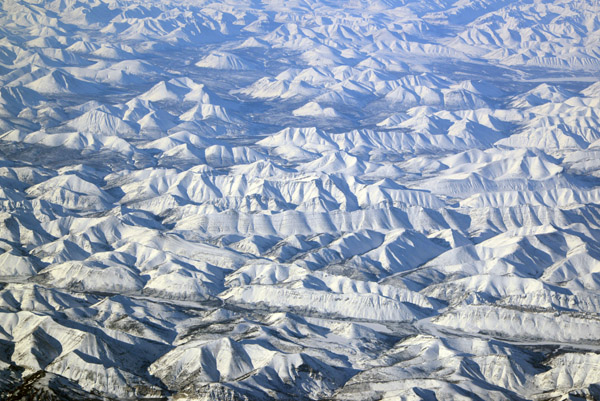 Mackenzie Mountains, Northwest Territories |
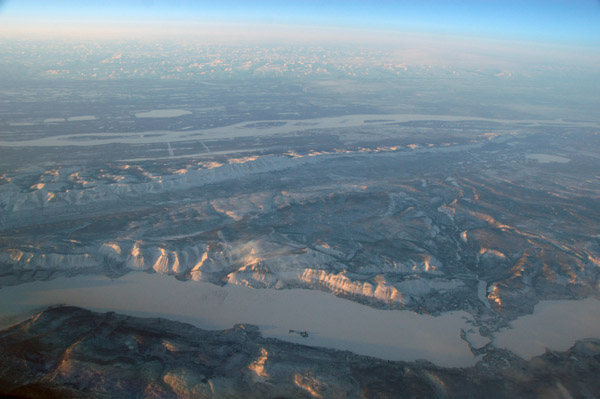
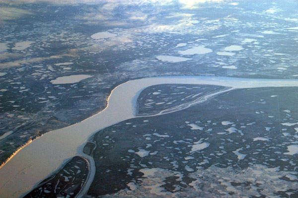
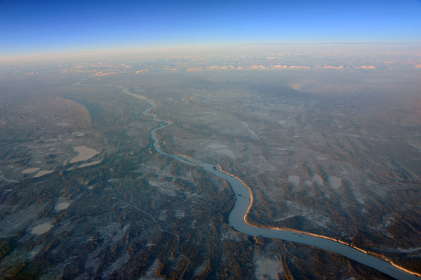
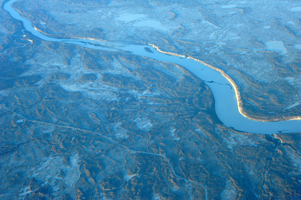
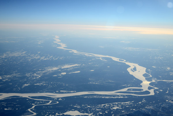 Mackenzie River, NWT |
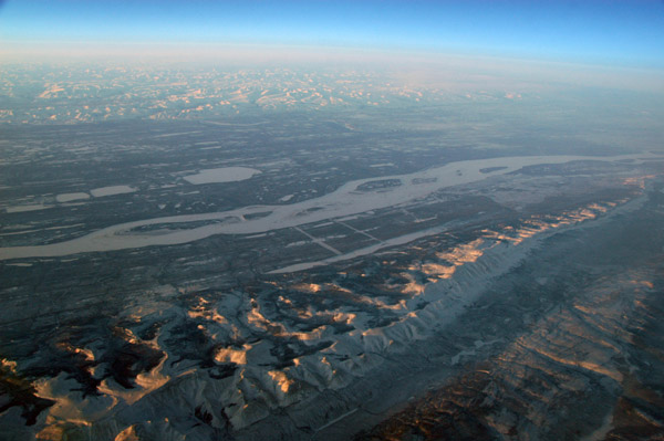
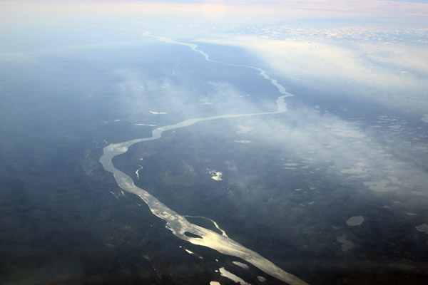 Mackenzie River, NWT |
 Brock Island in front of MacKenzie-King Island, NWT |
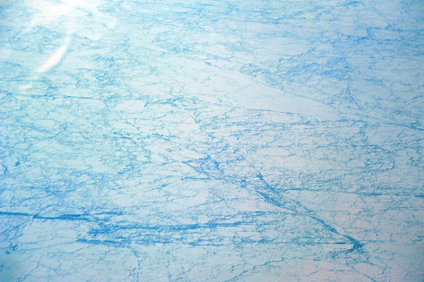
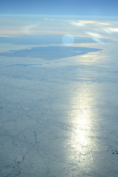
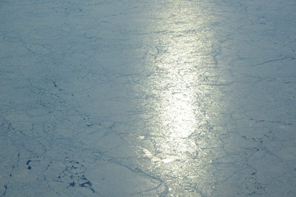 Frozen Arctic Ocean (N78/W118), Canada |
 South of the Ulukhaktok, NWT (N71 W118) |
 Lake Grandin, NWT (N64 W120) |
 Mount Mackenzie King, Laurier Glacier, Cariboo Mountains, BC |
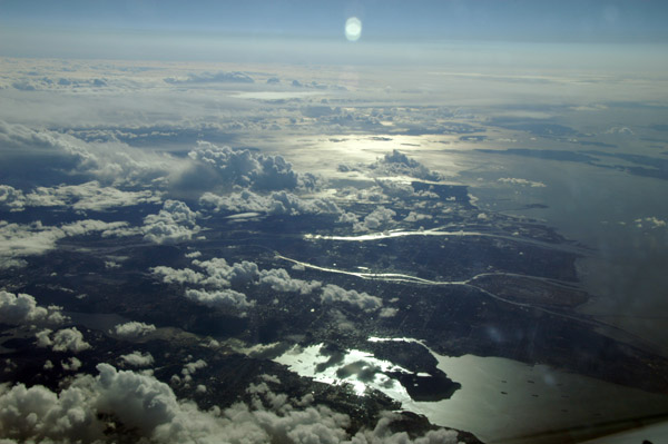
 Victoria, British Columbia |
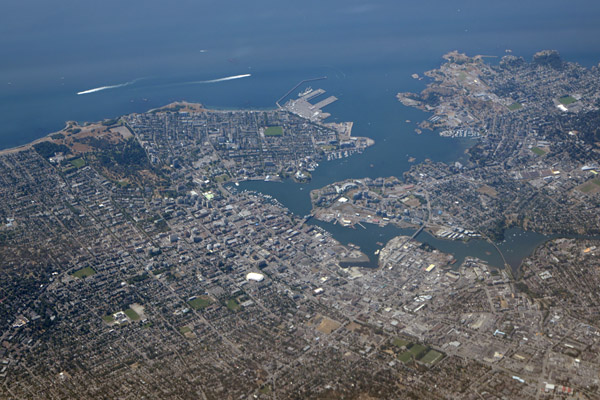 Victoria, British Columbia |
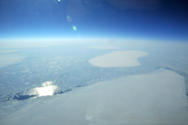
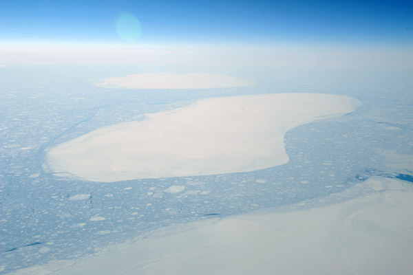
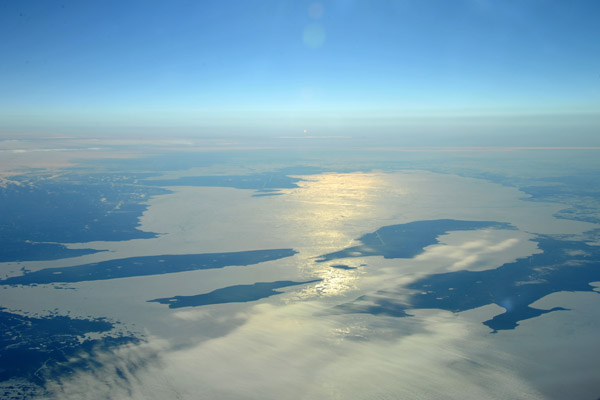
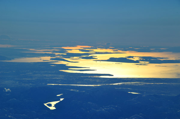
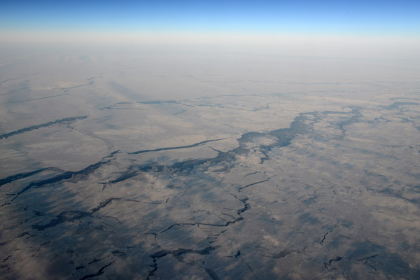 Hudson Bay in winter |
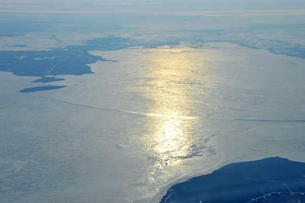
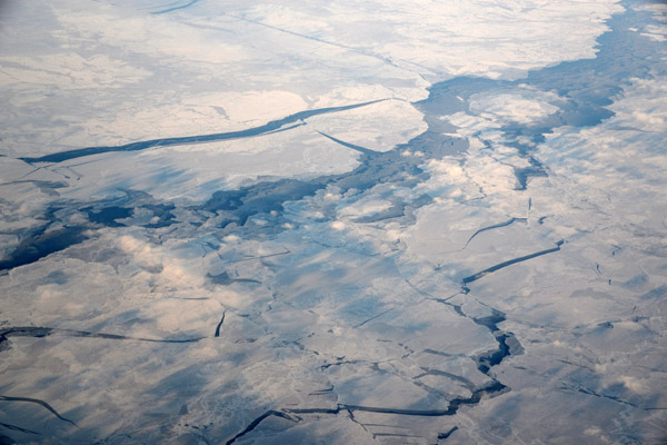 Hudson Bay in winter |
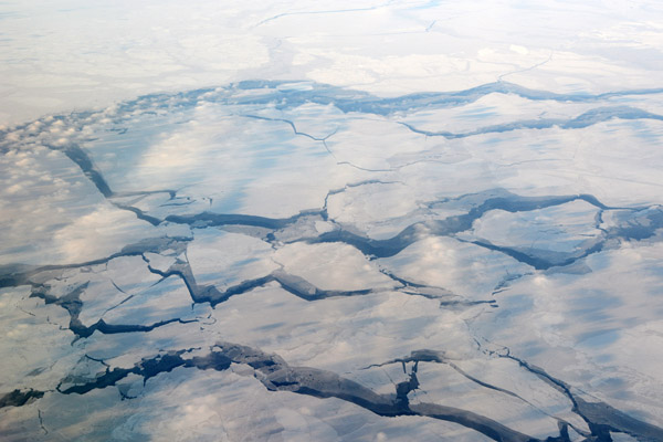 Hudson Bay in winter |
 Lake Winnipeg, Manitoba |
 Lake Winnipeg, Manitoba |
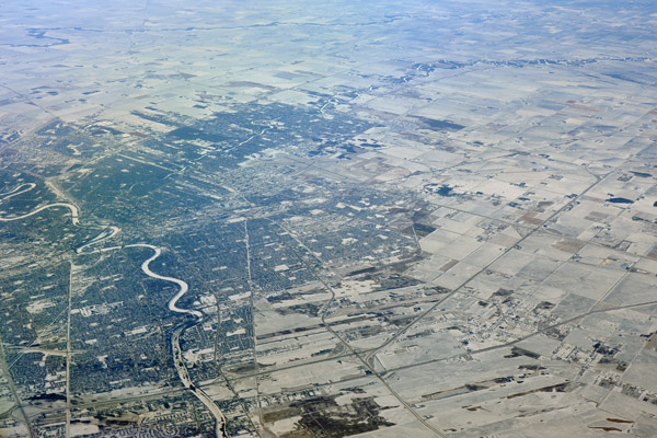 Winnipeg, Manitoba |
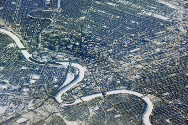 Winnipeg, Manitoba |
 Winnipeg, Manitoba |
 Winnipeg, Manitoba |
 Winnipeg, Manitoba |
 Mackenzie River, Northwest Territory |
 Mackenzie River near Fort Simpson, Northwest Territory |
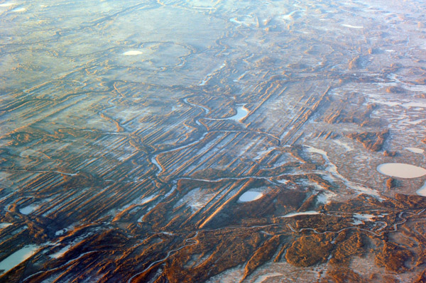 Glacial cuts near Fort Simpson, Northwest Territory |
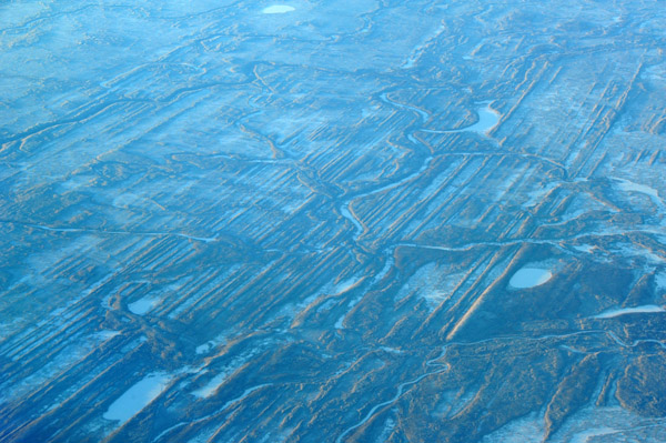 Glacial cuts near Fort Simpson, Northwest Territory |
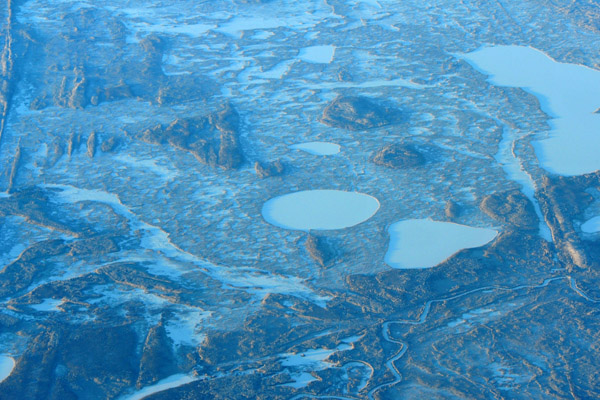 Near Fort Simpson, Northwest Territory |
 Laird Highway, Northwest Territory |
 Upper Peace River area, Laurier Provincial Park, British Columbia |
 Upper Peace River area, Laurier Provincial Park, British Columbia |
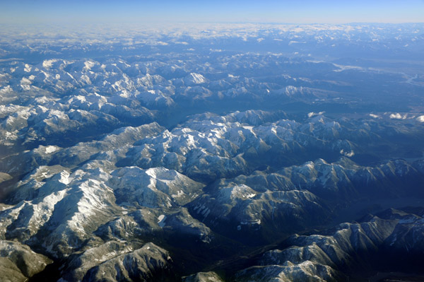
 Rocky Mountains, British Columbia |
 Rocky Mountains, British Columbia |
 Williston Lake, BC |
 Black Bear Ridge, BC |
 Bush airstrip on Willison Lake near Pardonet Hill, BC |
 Williston Lake, BC |
 Bush airstrip on Willison Lake, BC (N56 05/W123 05) |
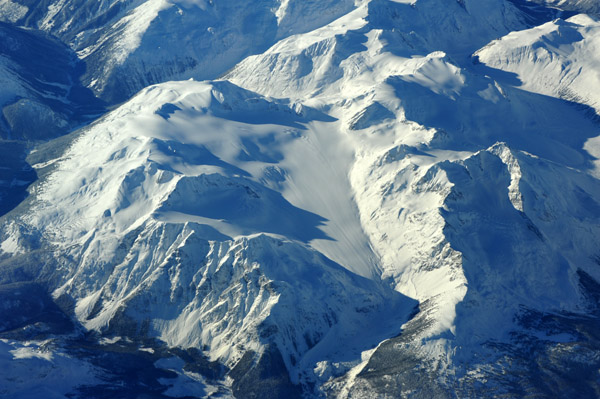
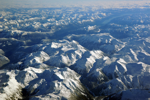
 Rocky Mountains, British Columbia |
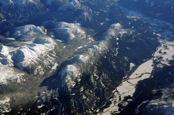
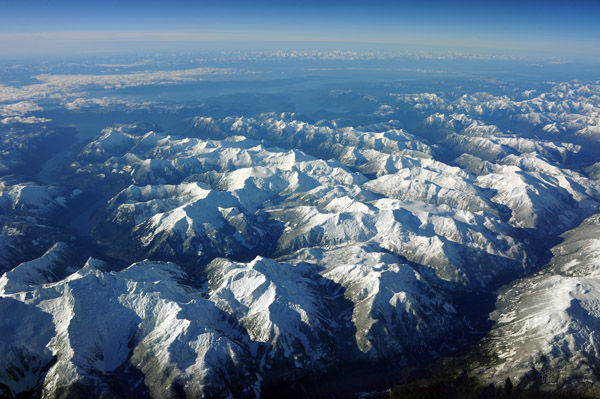
 Rocky Mountains, British Columbia |
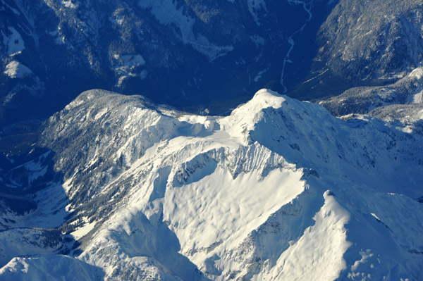
 Rocky Mountains, British Columbia |
 Rocky Mountains, British Columbia |
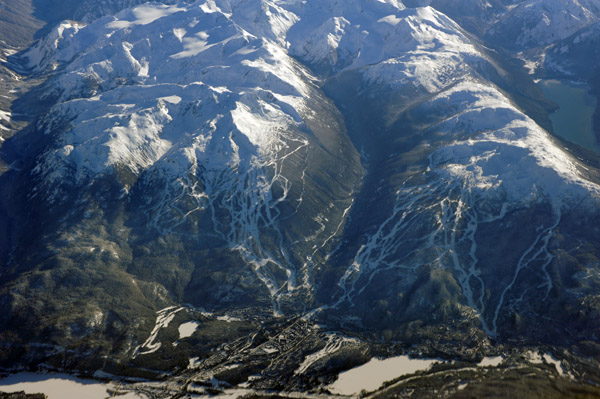 Whistler, British Columbia |
 Looking south from Whistler to Vancouver BC |
 Whistler, British Columbia |
 Tipella, Harrison Lake, British Columbia |
 Southwest British Columbia |
 Southwest British Columbia |
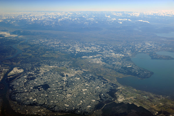
 Vancouver, British Columbia |
 Southwest British Columbia |
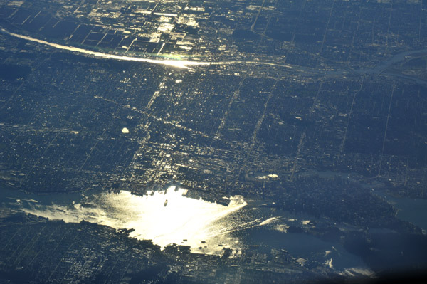 Vancouver, British Columbia |
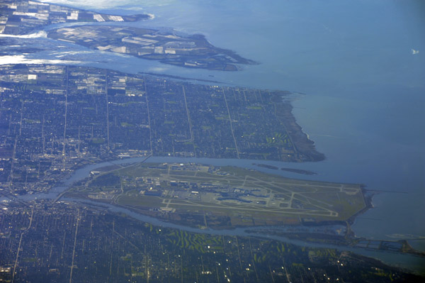 Vancouver International Airport, British Columbia |
 Delta, British Columbia and Point Roberts, Washington |
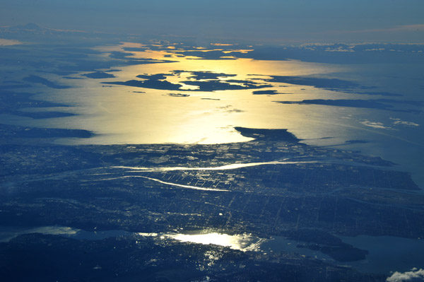
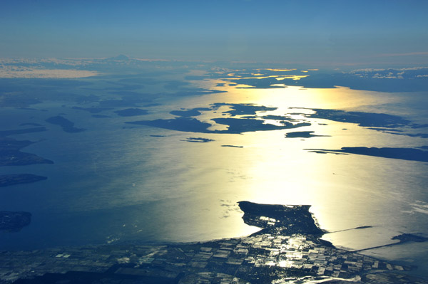 Looking south from Vancouver to the San Juan Islands and Mount Rainier, Washington |
 White Rock, British Columbia and Blaine, Washington |
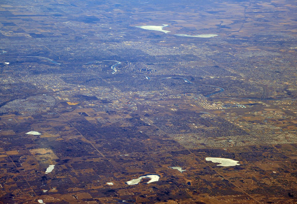
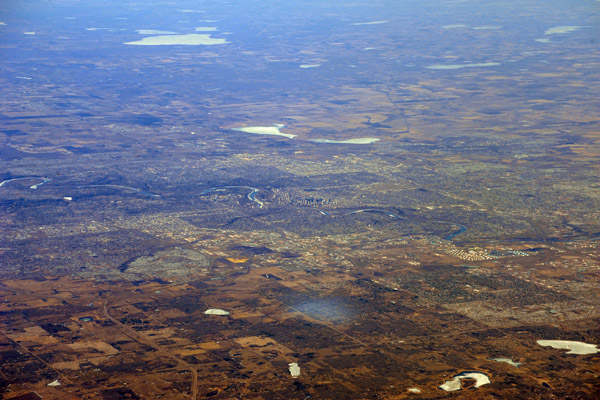
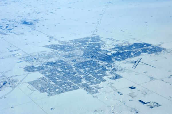 Regina, Saskatchewan, in winter |
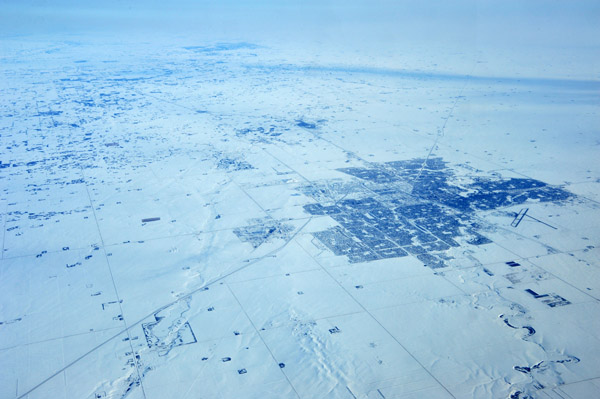 Regina, Saskatchewan, in winter |
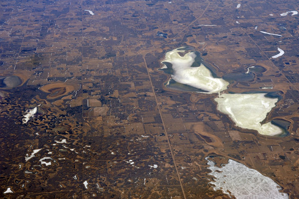
 Bethune, Last Mountain Lake, Saskatchewan |
 Pelican Pointe, Last Mountain Lake, Saskatchewan |
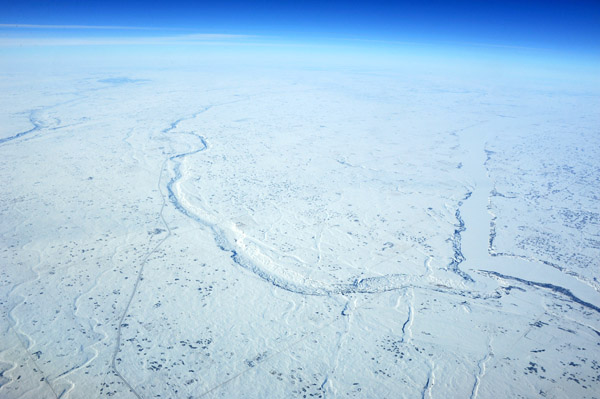
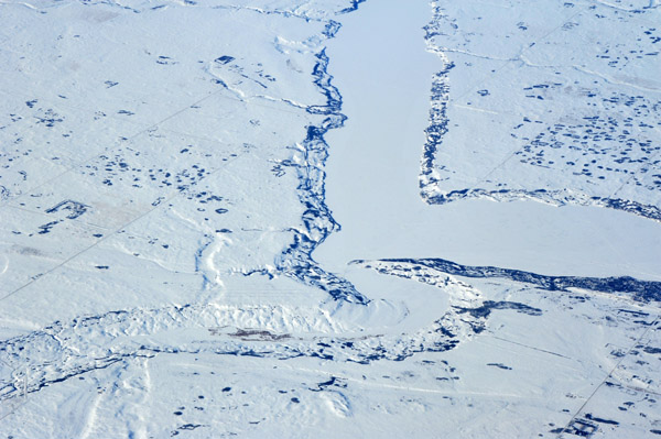
 Cumberland Lake, Cumberland House, Saskatchewan River |
 Cumberland Lake and delta, Saskatchewan |
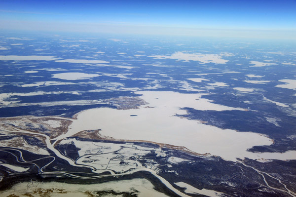
 Bakers Narrows, Flin Flon Airport, Lake Athapapuskow, Manitoba |
 Bakers Narrows, Flin Flon Airport, Lake Athapapuskow, Manitoba |
 Highrock Lake, Manitoba |
| comment | share |