


|
|
|
|
|
|
| Bill Borne | profile | all galleries >> The Us is a Beautiful Country >> 2017 Tour the West in Black & White | tree view | thumbnails | slideshow | map |
(FYI) Most photos Geo-tagged
You may Click "View Map" under photo to see GPS Map
All Photos on this site are Copyright ©2002-2017 by William Borne. All Rights Reserved. Reproduction in whole or any part either electronically or in print is prohibited (and UNLAWFUL) without my written permission.
For Your Information......
Many of my photos are designated "HDR".
HDR stands for High Dynamic Range. To achieve this I take a series of Bracketed Exposures & Blend them together using software. Reason: To get more detail in the brightest Highlights and the Darkest Shadows and everything in between.
 2017 Trip VIDEO SLIDESHOWS |
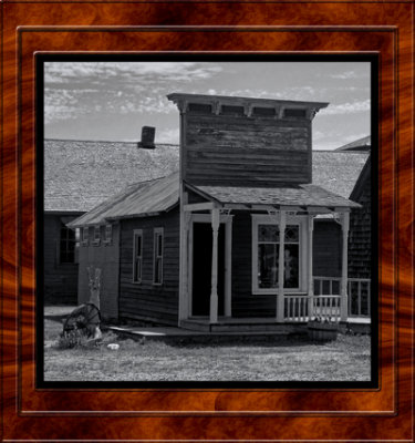
gallery: 2017-07-07 1880's South Dakota |
gallery: 2017-07-07 Badlands SD |
gallery: 2017-07-08 Custer SD |
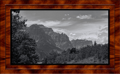
gallery: 2017 Glacier National Park Montana |

gallery: 2017-07-11 Bannack State Park Montana |
gallery: 2017-07-11 Lost Creek State Park Montana |
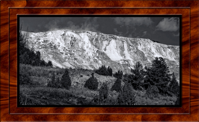
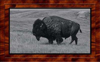
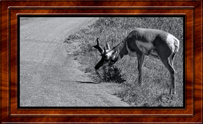
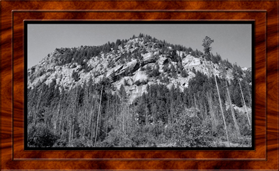
gallery: 2017-07-12 Yellowstone National Park Wyoming |
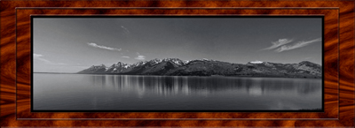
gallery: 2017-07-14 Teton National Park Wyoming |
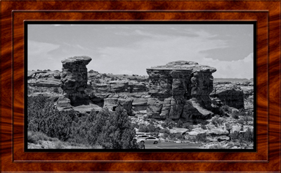
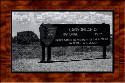
gallery: 2017-07-15 Canyonlands (Needles) Moab Utah |
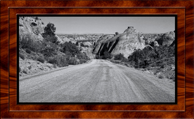
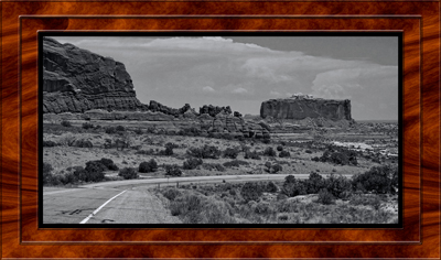
gallery: 2017-07-16 Canyonlands (Island in the Sky) Moab Utah |
gallery: 2017-07-16 43 mile Le Sal Forest loop road Moab Utah |
gallery: 2017-07-16 Rt 279 Colorado River Potash Rd Moab Utah |
| comment | share |