


|
|
|
|
|
|
| bchw | profile | all galleries >> Lewis County Chapter >> Packwood Lake 2023 | tree view | thumbnails | slideshow |
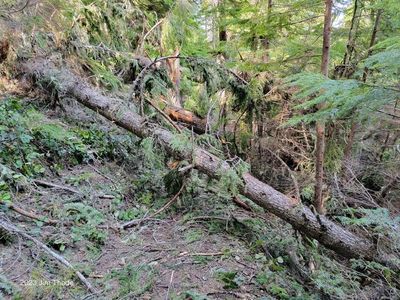
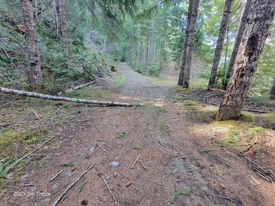
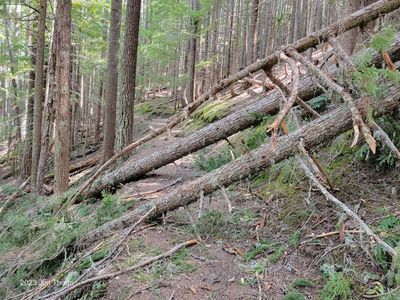 0.1 Mile, 14", 8" and 4" |
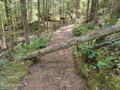
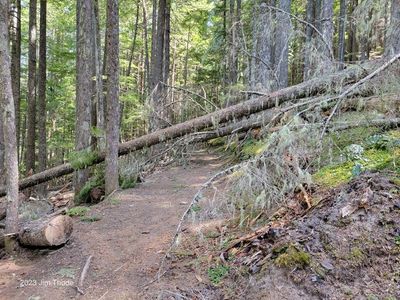 0.4 Mile, 10" and 12" |
 0.4 Mile, 10" and 12" (Looking west) |
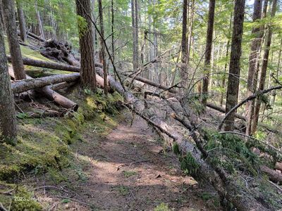
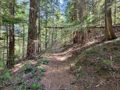
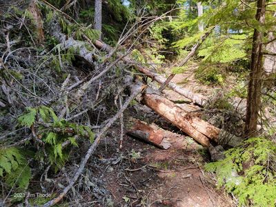
 0.7 Mile, 14", 18" and 10" |
 0.7 Mile, 14", 18" and 10" (looking west) |
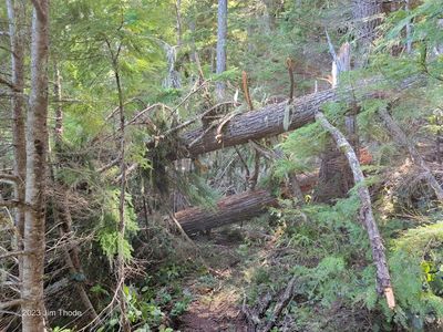
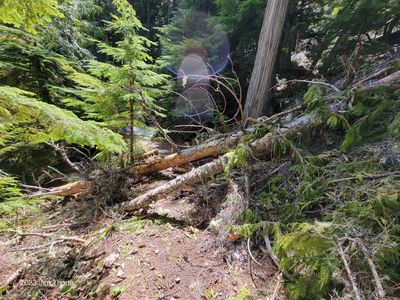
 0.8 Mile, 8" |
 0.81 Mile, 5" overhead |
 1.8 Mile, 14" and 8" |
 1.8 Mile, 14" and 8" (Looking west) |
 1.9 Mile, 4" top |
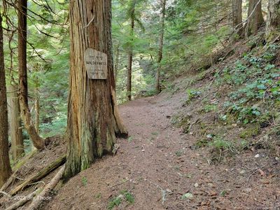 2 Mile, Wilderness Boundary |
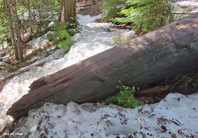
 2.5 Mile, 14" |
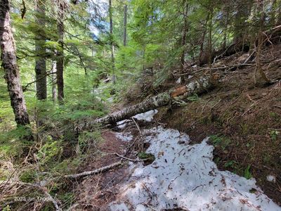
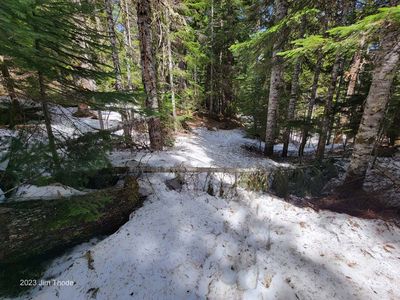
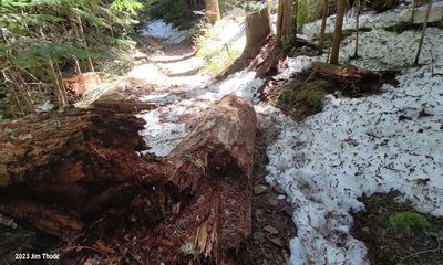
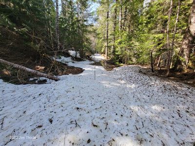
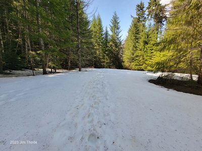
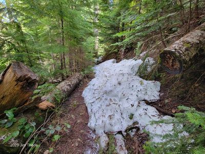 2.5 Mile, Snow |
 3.1 Mile, 12". less then 7' clearance |
 3.2 Mile, Buried log, Maybe 12" |
 3.4 Mile, 36" May slip down hill?? |
 3.4 Mile, 36" May slip down hill?? |
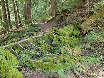
 3.5 Mile 4" Sweeper |
 3.7 Mile, 4" top |
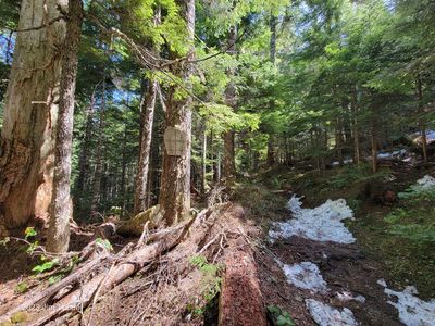 4 Mile, Wilderness Boundary |
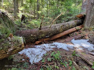
 4.1 Mile, 28" Walk Around Log |
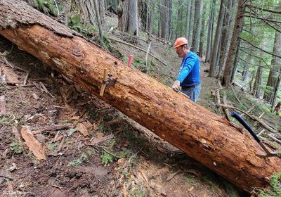
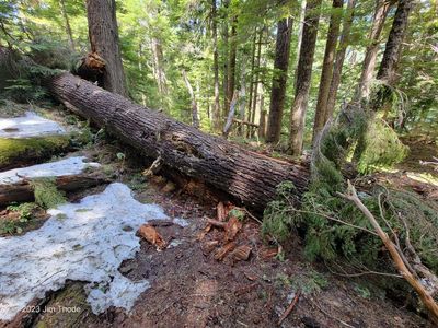 4.2 Mile 42" and 20" |
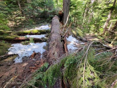 4.2 Mile 42" and 20" |
 4.2 Mile 42" and 20" |
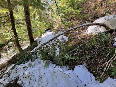
 Mile 4.3, Limbs and brush |
 Mile 4.3, Limbs and brush |
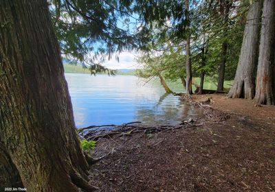
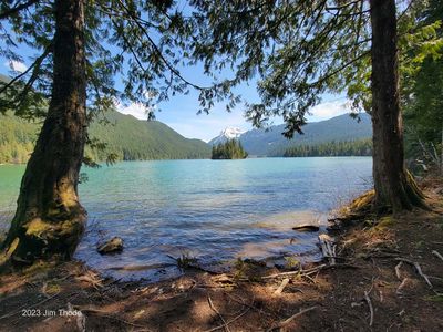 4.4 Mile Packwood Lake |
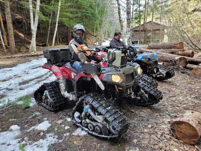 Hydro Crew |
 Back on Rd |
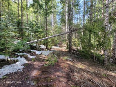
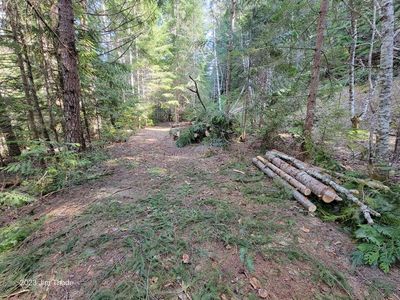
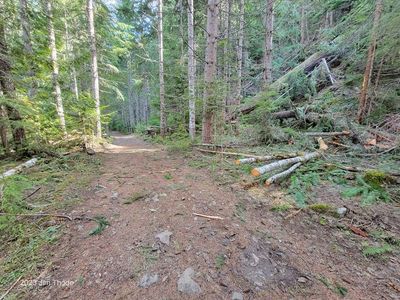
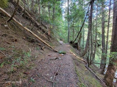 Lower Trail |
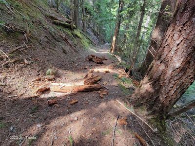 Lower Trail |
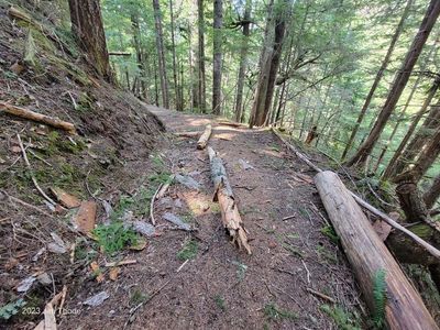 Lower Trail |
 Lower Trail |
 Lower Trail |
 Lower Road, Recent work |
 Lower Road, Recent work |
 Lower road |
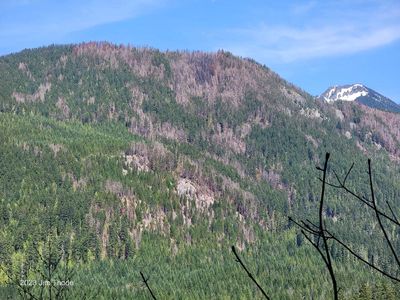 3 Peaks Burn |
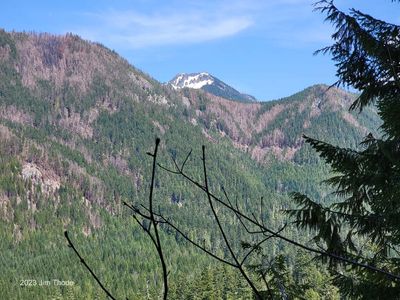 3 Peaks Burn |
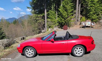 The road to the trailhead is in pretty good condition |
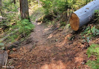
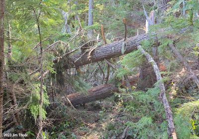 Before |
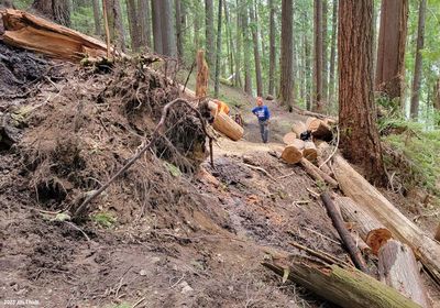
 During |
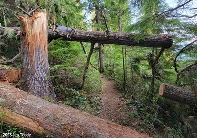
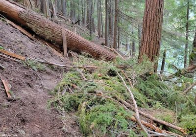
 After |
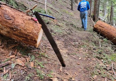
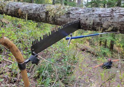 Underbucking |
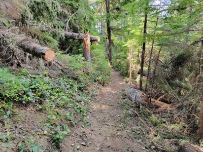
 Cleared |
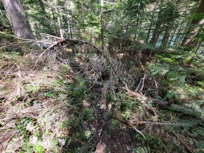
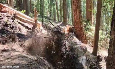
 Rootwad Upper Lake Creek before Wild. |
 Rootwad Upper Lake Creek before Wild |
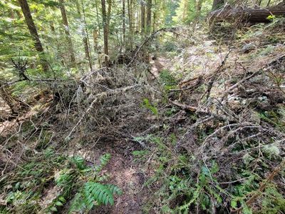
 Upper Lake Creek Trail, Before |
 Upper Lake Creek Trail, During |
 Upper Lake Creek Trail, After |
 Upper Lake Creek Trail |
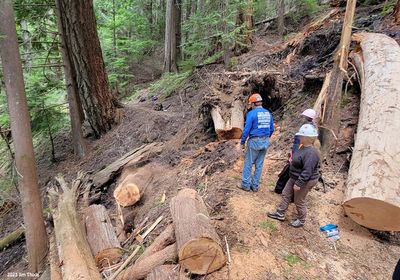
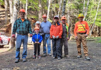 The May 25 Crew |
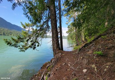
 End of the lake |
 The rootwad is now cleared |
| comment | share |