


|
|
|
|
|
|
| bchw | profile | all galleries >> Lewis County Chapter >> Green River Trail 2023 | tree view | thumbnails | slideshow |
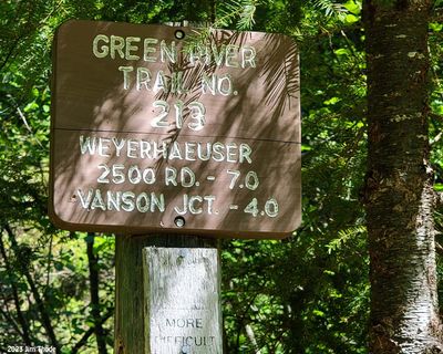 Old Trailhead, Mile 1.1 |
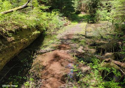
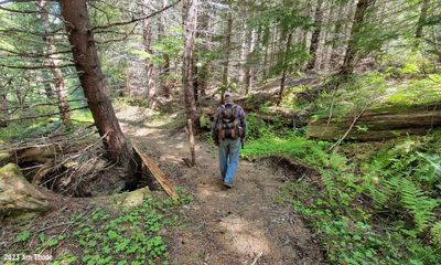 Eroding drainage crossing trail |
 Eroding drainage crossing trail |
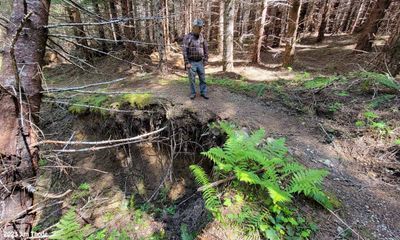
 Eroding drainage crossing trail Mile 1.9 |
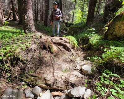
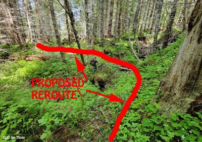 Proposed reroute, Mile 2.1 |
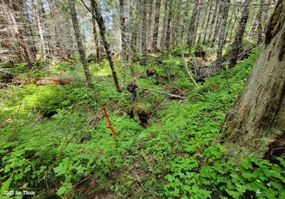 Reroute loaction, Mile 2.1 |
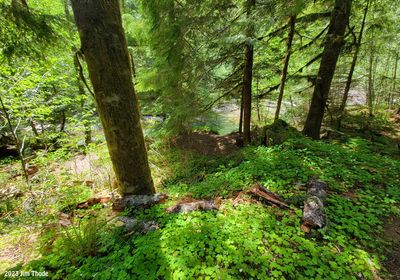
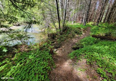 Existing trail adjactent to Green River, Mile 2.1 |
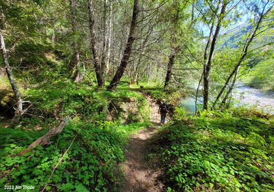 Existing trail adjactent to Green River, Mile 2.1 |
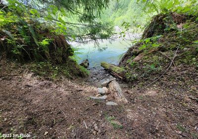 Existing trail adjactent to Green River, Mile 2.1 |
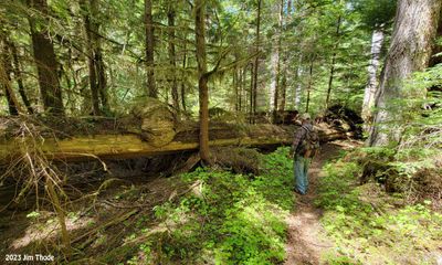
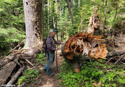 30-36" x 50' windfall inline with trail, Mile 2.7 |
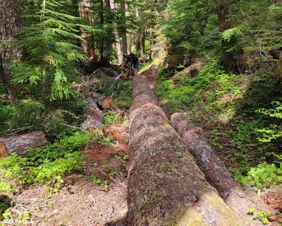 30-36" x 50' windfall inline with trail, Mile 2.7 |
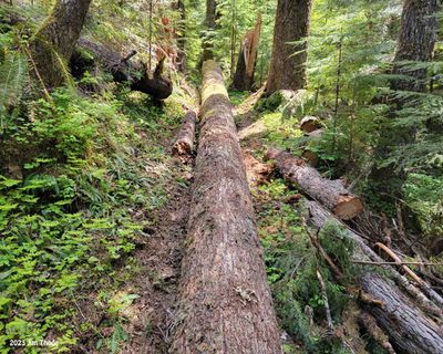 30-36" x 50' windfall inline with trail, Mile 2.7 |
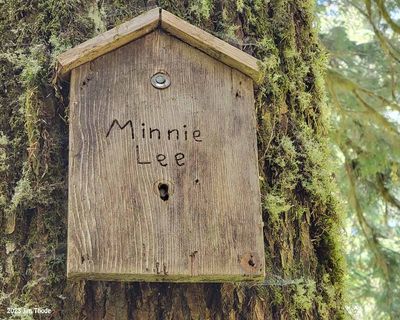 Minnie Lee Mine sign |
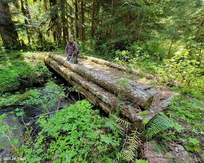 Bridge, Mile 3.2 |
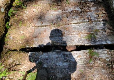 Bridge, Mile 3.2 |
 Cedar log, Mile 3.3 |
 Camp spot, Mile 3.4 |
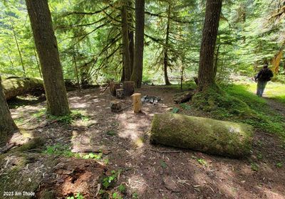 Camp spot, Mile 3.45 |
 Flooded punchion, Mile 4.6 |
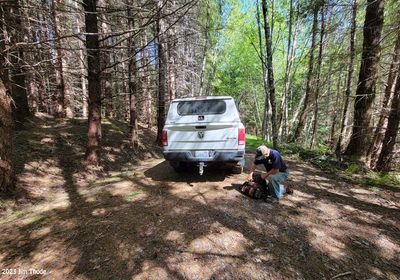 End of 2612036 Rd, Restricted turn around and parking |
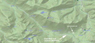 Area map, OUTDATED |
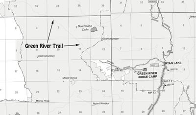 Road / Trail Map |
| comment | share |