


|
|
|
|
|
|
| aw11mr2 | profile | all galleries >> Fall 2008 Road Trip to Southwest, USA >> Vermilion Cliffs Highway | tree view | thumbnails | slideshow |
| previous page | pages 1 2 3 ALL | next page |
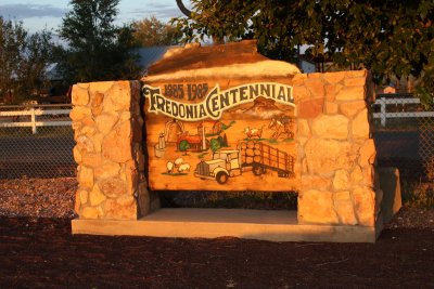 Fredonia |
 Fredonia |
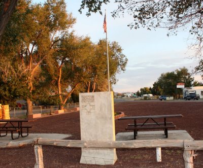
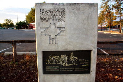 Fredonia - Dominguez Y Escalante Expedition |
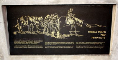 Dominguez Y Escalante Expedition |
 Vermilion Cliffs Highway |
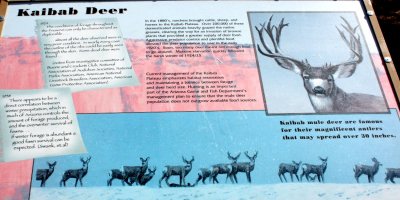 Kaibab Deer |
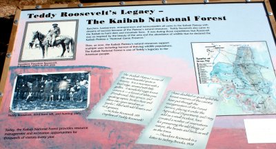 The Kaibab National Forest |
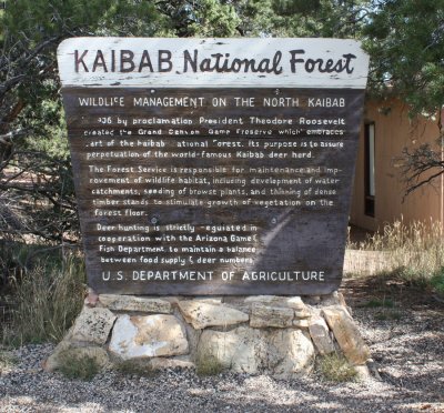 Kaibab National Forest |
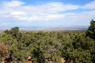 Kaibab National Forest |
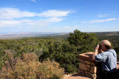 Kaibab National Forest |
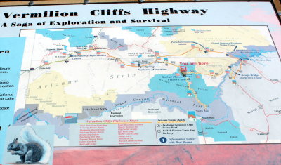
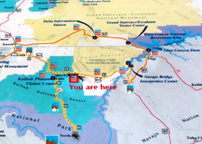 Vermilion Cliffs Highway map |
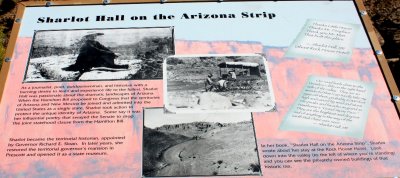 Shalot Hall on the Arizona Strip |
| previous page | pages 1 2 3 ALL | next page |
| comment | share |