


|
|
|
|
|
|
| aw11mr2 | profile | all galleries >> Fall 2008 Road Trip to Southwest, USA >> Pipe Spring National Monument | tree view | thumbnails | slideshow |
| previous page | pages 1 2 ALL | next page |
 Pipe Spring |
 Pipe Spring map |
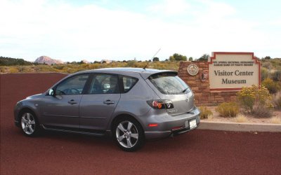
 Visitor Center |
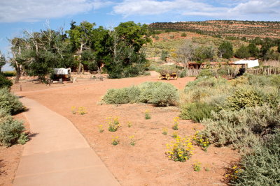 Path to the outdoor exhibits |
 East cabin and corral |
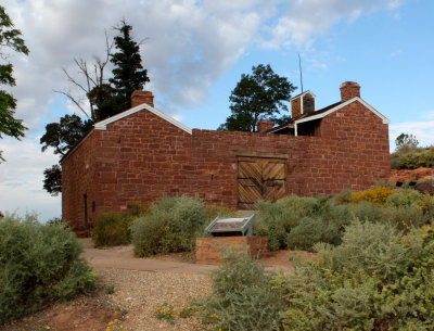 Winsor Castle |
 Stakig A Claim |
 A Tithing Ranch |
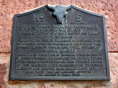 Pipe Springs Plaque |
 Ridge Trail |
 Geology info |
 Remnants of a Frozen Sahara |
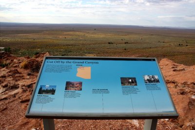 Cut Off by the Grand Canyon |
 View form the Ridge Trail |
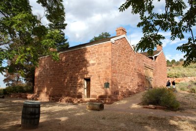 Winsor Castle |
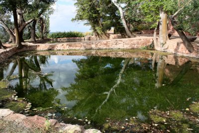 One of two ponds next to Winsor Castle |
 Interior of compound |
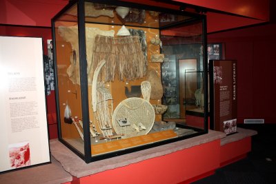
 Interior room |
 IMG_0620abc.jpg |
 IMG_0621abc.jpg |
 IMG_0628abc.jpg |
 IMG_0637abc.jpg |
 IMG_0646abc.jpg |
 IMG_0651abc.jpg |
| previous page | pages 1 2 ALL | next page |
| comment | share |