


|
|
|
|
|
|
| aw11mr2 | profile | all galleries >> Fall 2008 Road Trip to Southwest, USA >> Navajo National Monument | tree view | thumbnails | slideshow |
| previous page | pages 1 2 ALL | next page |
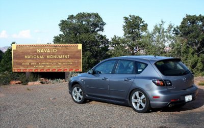 Navajo National Monument |
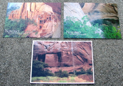 Navajo postcards |
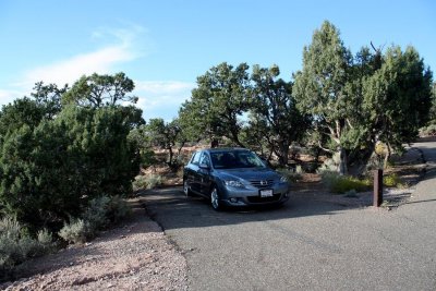 Campground |
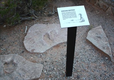 Dinosaur tracks |
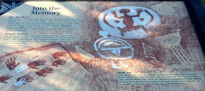 Into the Memory |
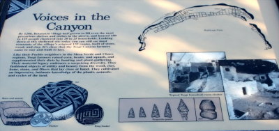 Voices in the Canyon |
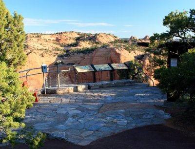 Canyon Overlook Point |
 Canyon Overlook Point |
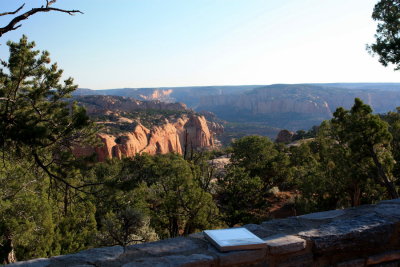
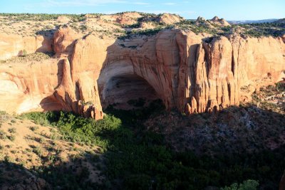 Overlook |
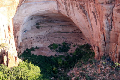 Overlook |
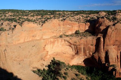 Overlook |
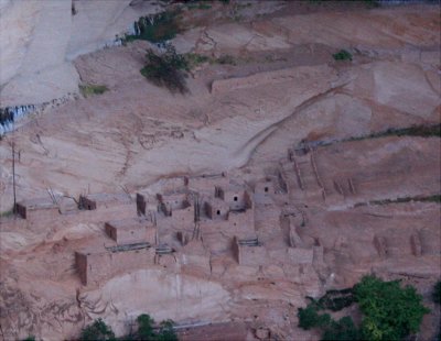 Overlook |
| previous page | pages 1 2 ALL | next page |
| comment | share |