


|
|
|
|
|
|
| aw11mr2 | profile | all galleries >> Fall 2007 Trip >> Gila Cliff Dwellings National Monument (Click pic for more pictures) | tree view | thumbnails | slideshow |
| previous page | pages 1 2 3 4 5 ALL | next page |
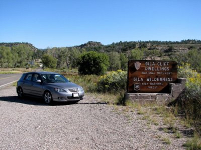 Visitor center in the background |
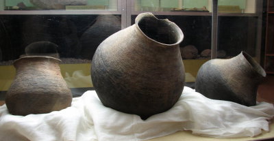
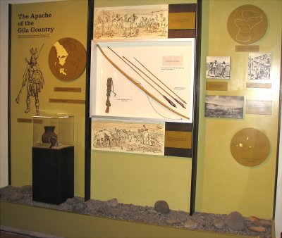
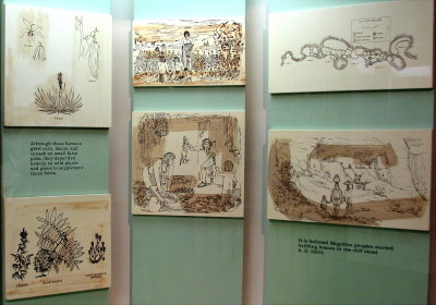
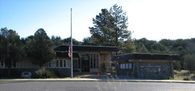 Visitor Center |
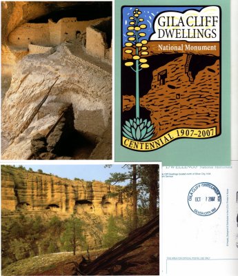 Postcards |
 Visitor Center |
 Visitor Center |
 Visitor Center |
 Visitor Center |
 Outside the visitor center |
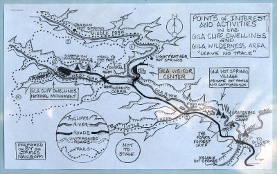 Map posted at the Visitor Center |
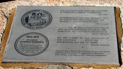
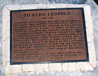 Outside the visitor center |
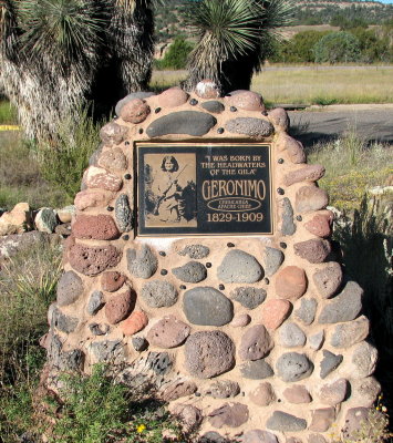 Outside the visitor center |
 Outside the visitor center |
| previous page | pages 1 2 3 4 5 ALL | next page |
| comment | share |
| Karen Moen | 11-Oct-2007 05:12 | |