


|
|
|
|
|
|
| aw11mr2 | profile | all galleries >> Fall 2007 Trip >> Chiricachua National Monument (Click pic for more pictures) | tree view | thumbnails | slideshow |
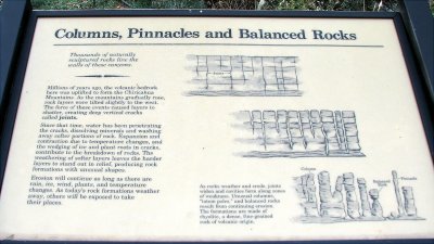
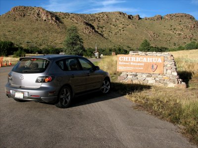 sign.jpg |
 chiricachua_7.jpg |
 chiricachua_4.jpg |
 chiricachua_6.jpg |
 chiricachua_3.jpg |
 chiricachua_5.jpg |
 chiricachua_1.jpg |
 chiricachua_2.jpg |
 chiricachua_8.jpg |
 chiricachua_9.jpg |
| comment | share |