


|
|
|
|
|
|
| aw11mr2 | profile | all galleries >> Fall 2008 Road Trip to Southwest, USA >> Capulin Volcano National Monument | tree view | thumbnails | slideshow |
| previous page | pages 1 2 ALL | next page |
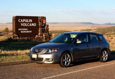 Capulin Volcano |
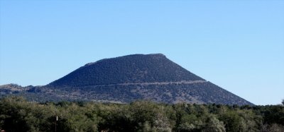 View from the road |
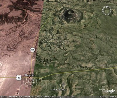 Aerial view |
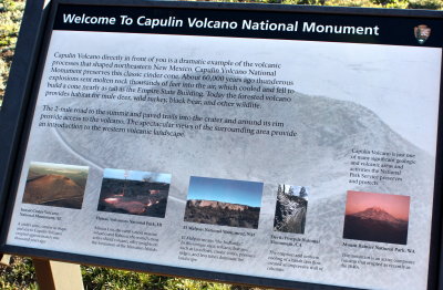
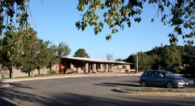 Visitor Center |
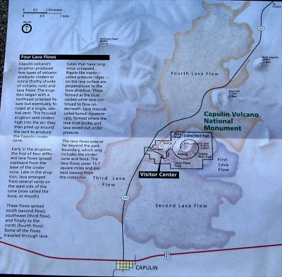 Capulin map |
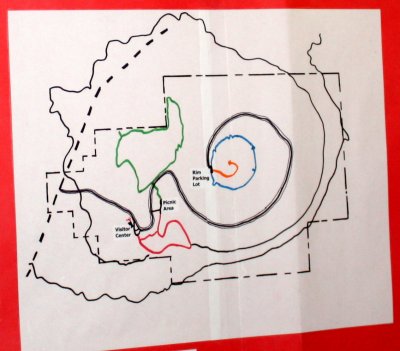 Capulin map |
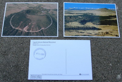 Capulin postcard |
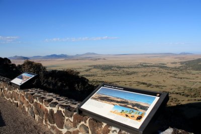
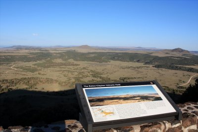 The Raton-Clayton Volcanic Field |
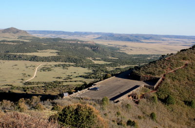 View of crater rim parking lot |
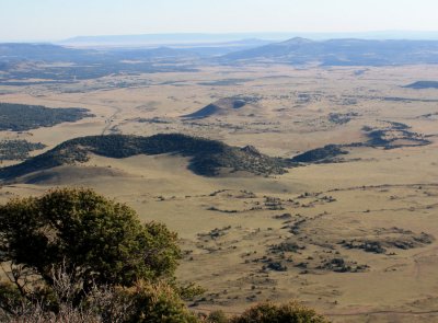 View from the crater rim |
 IMG_1212abc.jpg |
 IMG_1217abc.jpg |
| previous page | pages 1 2 ALL | next page |
| comment | share |