


|
|
|
|
|
|
| Aries Chiu | profile | all galleries >> Pictorial >> Malaysia >> Mt. Kinabalu | tree view | thumbnails | slideshow |
| previous page | pages 1 2 3 4 5 6 ALL | next page |
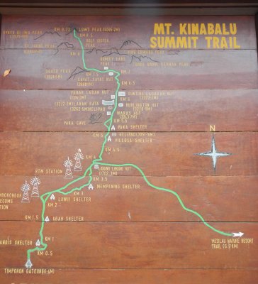 The map outside the National Park office. We will walk from Timpohon Gate, rest at Laban Rata, then up to Low's Peak. |
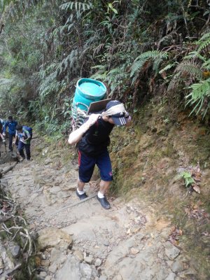 (2252M+) All living supplies to the guesthouse at 3860M are carried up these porters. This guy carries a gas tank! |
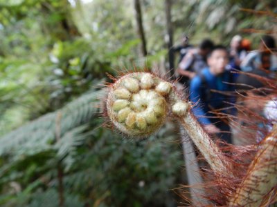 (2455M+) Interesting ferns. |
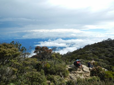
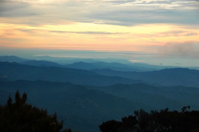
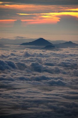
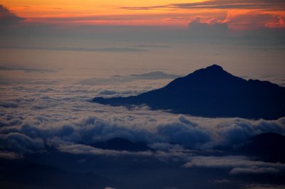
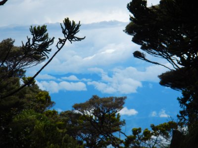 (2745M+) Floating clouds seen. |
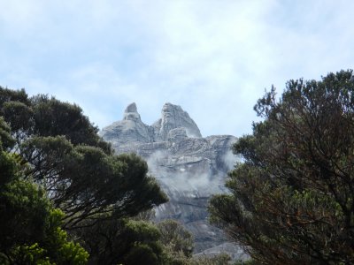 (2960M) Point Villosa. View of Mt. K. peaks "Donkey Ears" |
 (2960M) Point Villosa. |
 (3137M) 4:26PM |
 (3137M+) |
 (3137M+) |
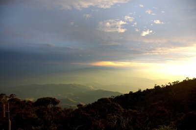
 (3314M) Laban Rata guest hut |
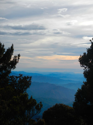
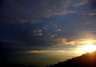
 (3314M) Sunset |
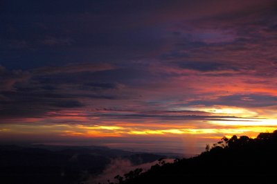
 (3314M) Sunset |
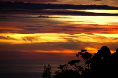
 (3314M) Sunset |
 (3314M) Sunset |
 (3314M) Sunset |
 (3314M) Sunset |
 (3314.3M+) 5:30PM. Reached Laban Rata hut. Temperature 12'C. |
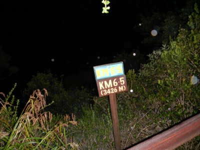 (3426M) 3:52AM. Temperature 9'C |
 (3426M+) |
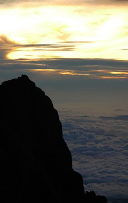
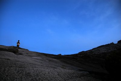
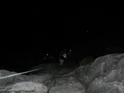 (3426M+) Section of barren rocks climbing. |
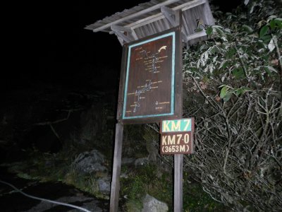 (3653M) 4:48AM |
 (3688M+) Dawn |
 (3688M+) Dawn |
 (3688M+) Dawn |
 (3688M+) Dawn |
 (3688M+) Dawn |
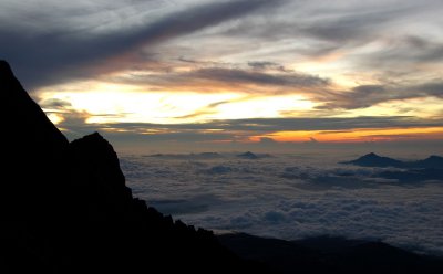 (3688M+) Dawn |
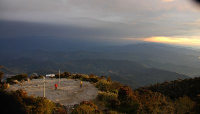
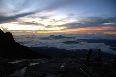
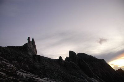
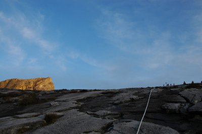
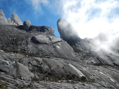
 (3688M+) On the rockface. There is a platform up there, recahing to summit and other peaks. |
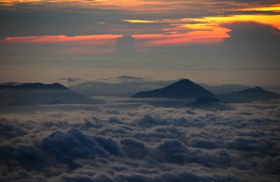
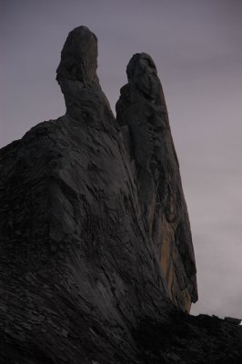
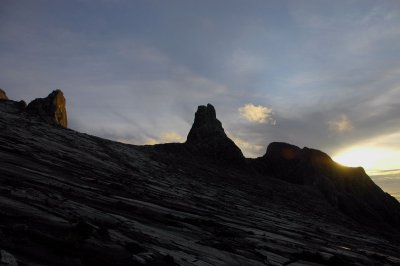
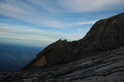
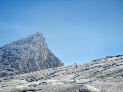
 (3688M+) Left Donkey Ears, right Ugly Sisters |
 (3688M+) Donkey Ears closeup |
 (3688M+) Dawn |
 (3688M+) Dawn |
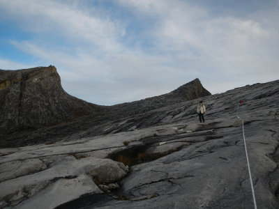
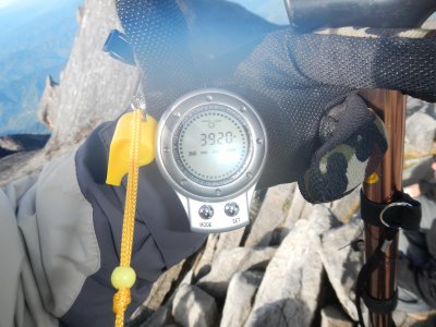
 (3929M) On platform rock, leading to peaks. |
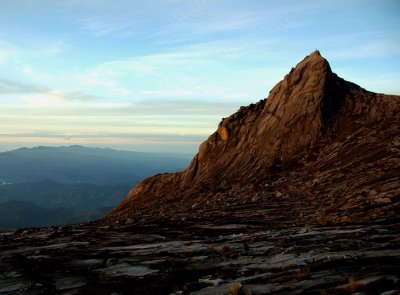
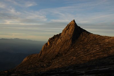
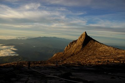
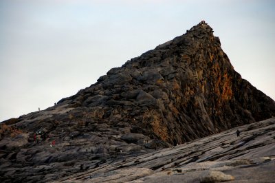
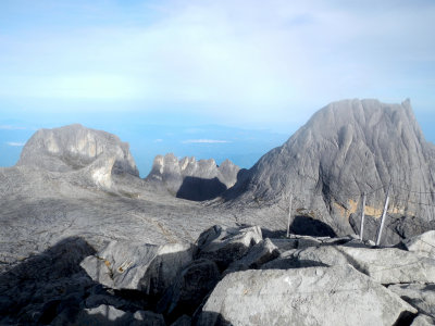
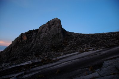 (3929M) South Peak 3921M |
 (3929M) South Peak 3921M |
 (3929M) |
 (3929M) Platform reached. |
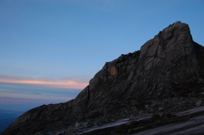
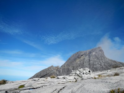
 (3929M+) South Peak, seen at platform. |
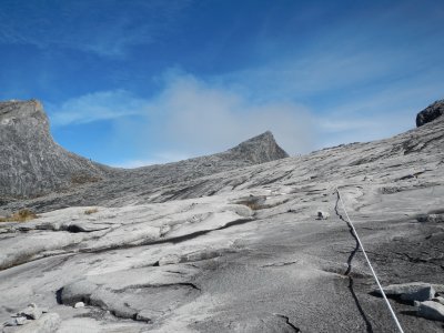
 (3929M+) On platform rock, leading to peaks. |
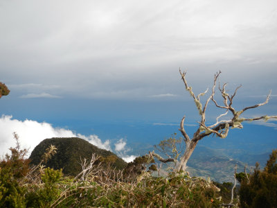
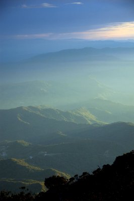
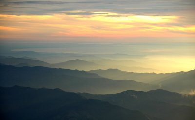
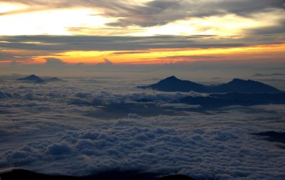
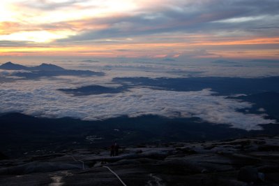
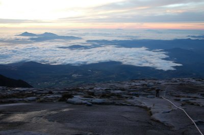
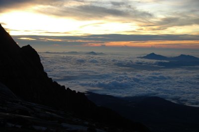
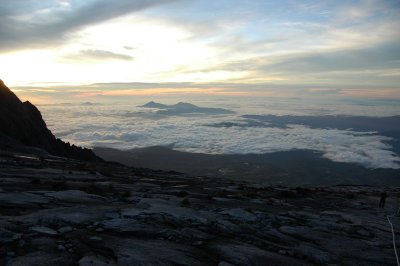
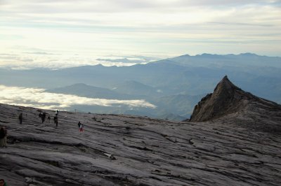
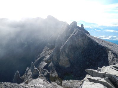
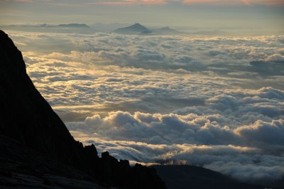 (3929M+) Ocean of clouds. |
 (3929M+) South Peak, seen at platform. |
 (3929M+) On platform rock, leading to peaks. |
 (3929M+) On platform rock, leading to peaks. |
 (3929M+) South Peak, seen at platform. |
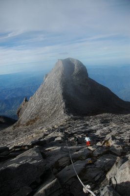
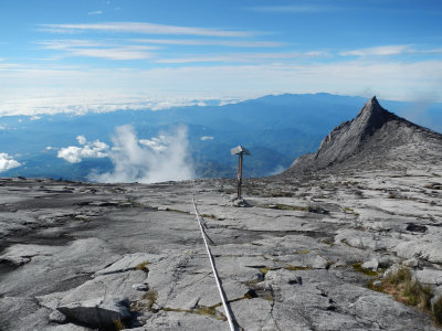
 (3929M+) Low's Peak 4095.2M summit in sight. |
 (3929M+) St. John's Peak |
 (3929M+) South Peak lookback. |
 (3929M+) Platform to summit. |
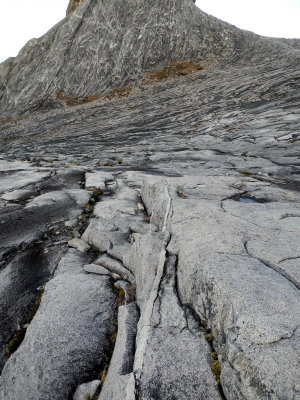 (3929M+) Igenous viens on grannites. |
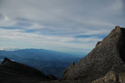
 (3929M+) St. John's Peak lookout to hills |
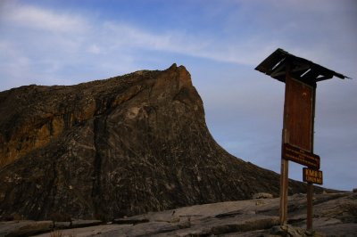
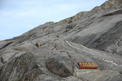 (4008M) First sign of 4000M passed! |
 (4008M+) Final 100M up to summit. |
 (4008M+) Don't give up! Brother! |
 (366M+) St. John's Peak, 4090.7M |
 (4095.2M) Left Oyayubi Iwu Peak 3975.8M (means big thumb in Japanese). Middle - Dewali Pinnacles, Right - Peak Victoria 4091M |
 (4095.2M) At summit Low's Peak |
 (4095.2M) Cut by glacier, the gully is about 1000M deep |
 (4095.2M) Goaled! |
 (3929M+) Way down back to platform |
 (3929M+) Way down back to platform |
 (3929M+) St. John's peak on the way down to platform. |
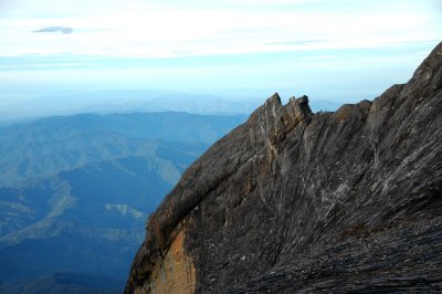
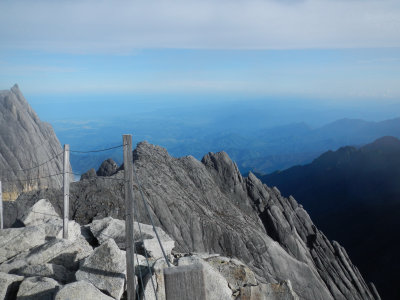
 (3929M+) The shear mountains has only 5 men |
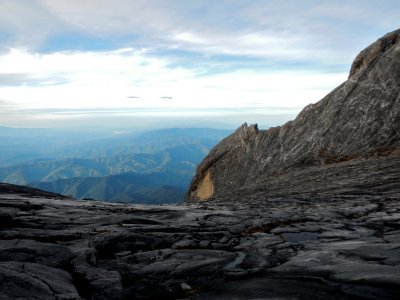
 (3668M+) Behind the rocky gateway can access the vertical Low's Gully |
 Squirrel at a checkpoint. |
 Squirrel at a checkpoint. |
| previous page | pages 1 2 3 4 5 6 ALL | next page |
| comment | share |