photo sharing and upload picture albums photo forums search pictures popular photos photography help login
Archiaston Musamma Family | profile | all galleries >> Galleries >> Lake Minnewanka, Banff, Canada tree view | thumbnails | slideshow

Lake Minnewanka, Banff, Canada

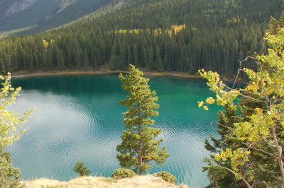
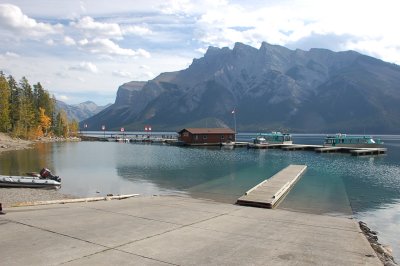
Lake Minnewanka ("Water of the Spirits" in Nakota - the Stoney Indian language) is a glacial lake located in the eastern area of Banff National Park in Canada, about five kilometres northeast of the Banff townsite. The lake is 28 km (17 mi) long and 142 m (466 ft) deep, making it the longest lake in the mountain parks of the Canadian Rockies (the result of a power dam at the west end).[1]

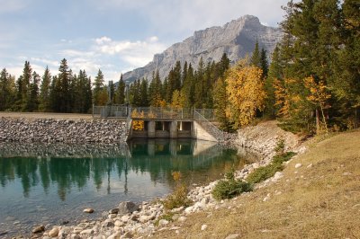
The lake is fed by the Cascade River, flowing east of Cascade Mountain, and runs south through Stewart Canyon as it empties into the western end of the lake. Numerous streams flowing down from Mount Inglismaldie, Mount Girouard and Mount Peechee on the south side of the lake also feed the lake.

Aboriginal people long inhabited areas around Lake Minnewanka, as early as 10,000 years ago, according to stone tools and a Clovis point spearhead discovered by archaeologists. The area is rich in animal life (e.g. elk, mule deer, mountain sheep, bears) and the easy availability of rock in the mountainous terrain was key to fashioning weapons for hunting.[1]

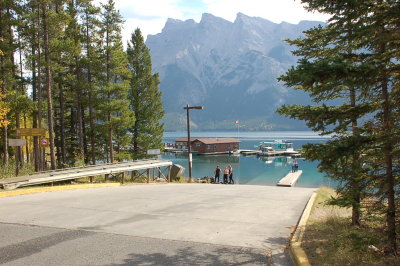
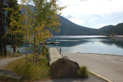
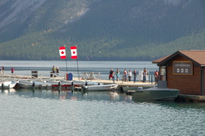
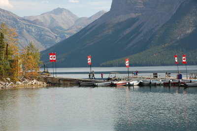
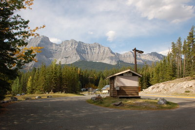
The western end of the lake can be reached by following Lake Minnewanka road from the Trans-Canada Highway. Boat tours are available near the parking lot. A hiking and mountain biking trail runs along the northern shore of the lake, passing Stewart Canyon and six backcountry campsites.[2] Mount Aylmer which at 3,162 m (10,374 ft) is the highest mountain in this area of the park, is located a few kilometres north of the lake.

Dams were built in 1912 and 1941 to supply the town with hydro-electric power. The most recent dam (1941) raised the lake 30 m and submerged the resort village of Minnewanka Landing that had been present there since 1888. Because of the presence of the submerged village, submerged bridge pilings, and submerged dam (the one from 1912) the lake is popular among recreational scuba divers.

How Do River Challenge Lake
The many lakes in the Canadian Rockies gives the impression that lakes are a rather permanent feature of the landscape. This is not entirely true. In fact, most lakes are merely a temporary landform that creates a convenient storage reservoir behind some natural dam.

The lakes may be formed in many ways. High on the mountain sides, glaciers carved out smooth bowls called cirques. Later, as the ice melted, many of these bowls filled with meltwater to become the alpine tarns, or cirque lakes that form the focus of many of our hiking trails.

In other cases, glaciers flowed down the valleys, and left behind large piles of debris. These piles became natural dams restricting water flow in their valleys. This is how Peyto and Waterfowl Lakes were created. In still other cases, landslides many have crashed into the valley bottoms and dammed local rivers. This describes the formation of Maligne Lake in Jasper National Park, and Moraine Lake in Banff National Park.


.
Lake Minnewanka
Lake Minnewanka
Lake Minnewanka
Lake Minnewanka
Lake Minnewanka
Lake Minnewanka
Lake Minnewanka
Lake Minnewanka
Lake Minnewanka
Lake Minnewanka
Lake Minnewanka
Lake Minnewanka
Lake Minnewanka
Lake Minnewanka
Lake Minnewanka
Lake Minnewanka