photo sharing and upload picture albums photo forums search pictures popular photos photography help login
LD Design and Illustration | profile | all galleries >> College of Architecture and Planning at Ball State University >> CAP 101 and 161 >> CAP161.3 S20 tree view | thumbnails | slideshow

CAP161.3 S20

Module 3 “The street where you live”

Interpreting and visualizing the "Invisible Cities" of Italo Calvino

PROJECT DESCRIPTION:
Our challenge is to effectively continue the imaginary visualization of your chosen Invisible City using drawing conventions common to our three professions. We have examined the book now through key diagramming exercises, mass-void exercises, through a variety of clips from sci-fi and fantasy films, and through a single day of a resident. Now we will draw a panel describing a single street in our chosen city where our resident lives.

SUGGESTED PROCESS:

Reading
Begin with reading Chapters 5 and 6 in Francis Ching’s Design Drawing – Pictorial systems, and Multiview drawings. A copy of Allan Jacobs’s Great Streets is available at the window table in section one.

Observe other artistic interpretations of your chosen city
https://www.archdaily.com/805442/italo-calvinos-invisible-cities-illustrated-again

Examine cities of the Mediterranean rim in Google Earth
(free download here: https://www.google.com/earth/versions/#earth-pro)

“Fly” over Venice Italy, Trieste Italy, Napflion Greece, Split Croatia, and Dubrovnik Croatia. These coastal cities were built over time with Roman and Venetian influence along the Mediterranean coast. Other port cities like Portofino Italy, Syracuse Italy, also may inspire. Many of the cities (but not all) in Calvino’s book bear resemblance (i.e. your city may be underground?). Examine urban forms and patterns formed by building footprints, streets, squares, paths, and lanes.

Establish some rules of thumb. Measure a few typical sidewalks, alleys, setbacks, and street lanes. You may use measuring tapes checked out from the Fab Lab, and/or you may use the measuring tool in Google Earth. Here’s how: https://youtu.be/CrrQJ-m5VxY

Lay out a one-point perspective of your street. A step-by-step method is available on YouTube.
https://youtu.be/So8Pcb0S-qM

Make practice drawings on tracing paper, type out your text and labels, and then trace everything into a final version on Strathmore board / Bristol board (a type of white cardstock, sold by the piece in the CRC).

FINAL DELIVERABLE:
The suggested panel above includes a figure ground overhead view of a district. It also includes a linear ground level plan of one street, with landscape graphics, drawn at an engineering scale, probably at 1”=10’-0”, 1”=20’-0”, or 1”=30’-0”. It also has small cross sections through the street. It also includes one eye level perspective view to show the character of the street. Light tables will be useful for tracing your drafts through to the final.
bakTre_2020-03-16_12-54-28.jpg
BowBra_2020-03-16_12-52-58.jpg
CazKio_2020-03-16_12-50-57.jpg
ChaJak_2020-03-16_12-51-53.jpg
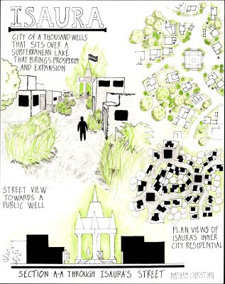
ChrNat_2020-03-16_12-53-54.jpg
DalGra_2020-03-16_12-54-55.jpg
DeAJoe_2020-03-16_12-52-18.jpg
DecRil_2020-03-16_12-50-01.jpg
GigTre_2020-03-16_12-43-28.jpg
GuzAna_2020-03-16_12-55-21.jpg
HerTyl_2020-03-16_12-55-47.jpg
JonEli_2020-03-16_12-53-29.jpg
KinNat_2020-03-16_12-44-37.jpg
KoeBen_2020-03-16_12-51-25.jpg
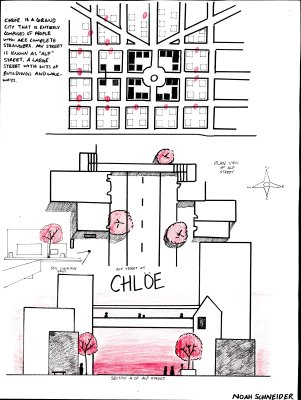
SchNoa_2020-03-16_12-46-06.jpg