


|
|
|
|
|
|
| Dave Lloyd | profile | all galleries >> UK >> Hadrian's Wall | tree view | thumbnails | slideshow | map |
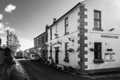 King's Arms, Bowness (9/21/2018) |
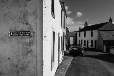 Bowness-on-Solway (9/21/2018) |
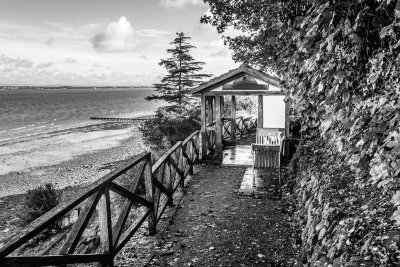 The Banks, Bowness (9/21/2018) |
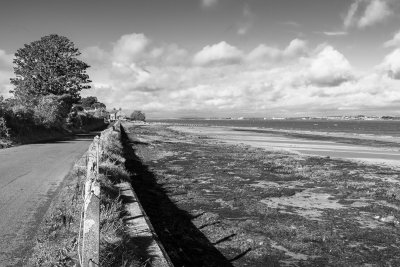 Leaving Bowness (9/21/2018) |
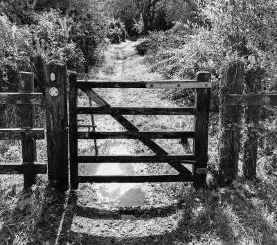
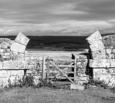
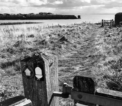 Gate near Port Carlisle (9/21/2018) |
 Mud (9/21/2018) |
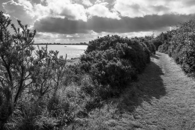 The path near Port Carlisle (9/21/2018) |
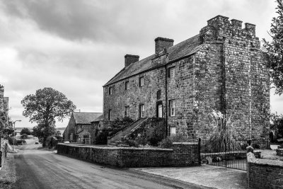 Drumburgh Fortified Manor (9/21/2018) |
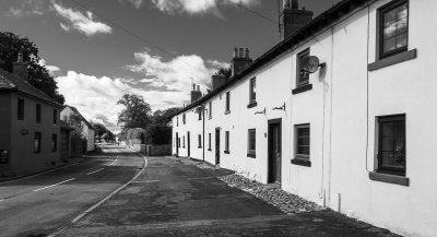 Main street, Burgh-by-Sands (9/21/2018) |
 Leaving Carlisle (9/22/2018) |
 Approaching Newtown Farm (9/22/2018) |
 Approaching Walton (9/22/2018) |
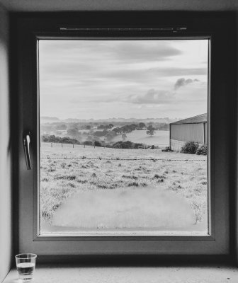 View from Florrie's Bunkhouse, Walton (9/23/2018) |
 First sighting of the wall, after Walton (9/23/2018) |
 Climbing near Lanercost (9/23/2018) |
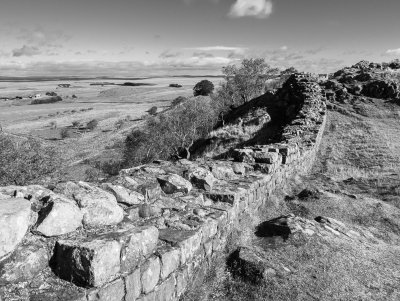
 Turret near Birdoswald (9/23/2018) |
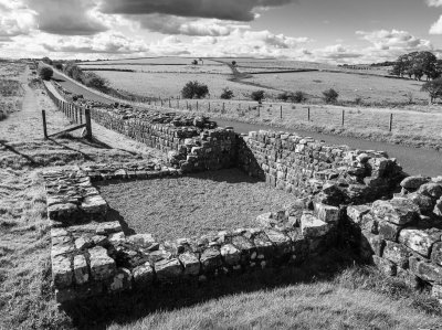
 Birdoswald (9/23/2018) |
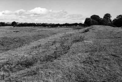
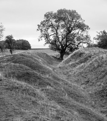
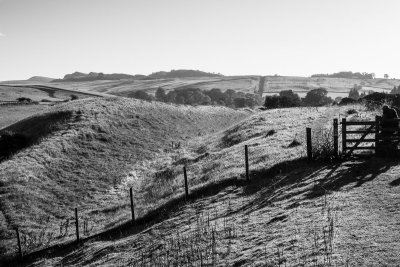 Ditch east of Gilsland (9/24/2018) |
 In the ditch (9/24/2018) |
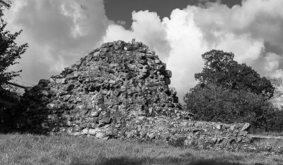
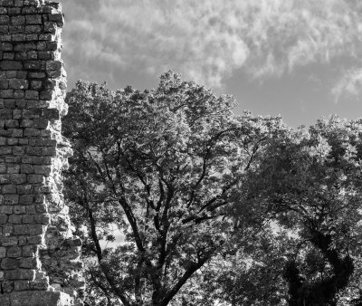 Thirwall Castle (9/24/2018) |
 Climbing up Walltown Crags (9/24/2018) |
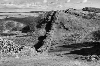
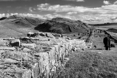
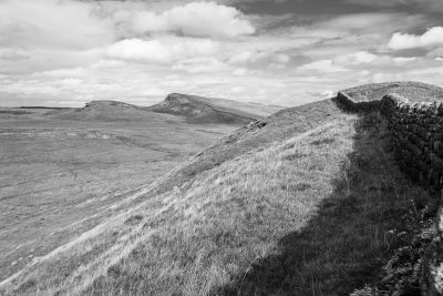
 The Wall, above Walltown Crags (9/24/2018) |
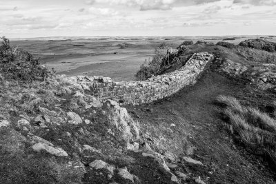
 Up and down (9/24/2018) |
 Climbing steeply (9/24/2018) |
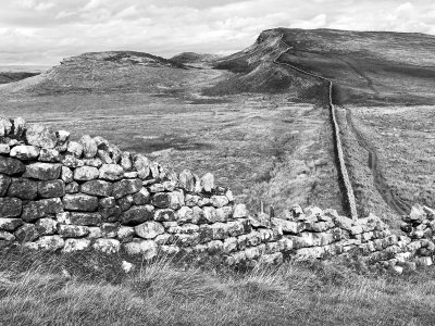
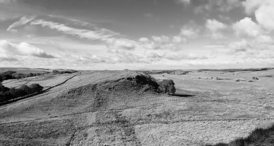 Looking back towards Walltown Crags (9/24/2018) |
 Turret (9/24/2018) |
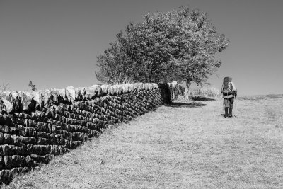
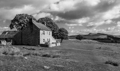 Farmhouse on the Wall (9/24/2018) |
 Near Cawfield (9/24/2018) |
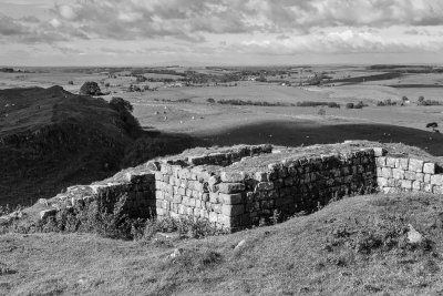
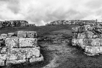 Milecastle entrance (9/24/2018) |
 Near Crawfield Crags (9/24/2018) |
 Above Crawfield Crags (9/24/2018) |
 Winshield Crags (9/24/2018) |
 Farm below Winshield Crags (9/24/2018) |
 View of Milecastle 39 and Crag Lough from Peel Crags (9/25/2018) |
 Looking into Sycamore Gap (9/25/2018) |
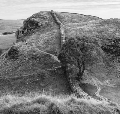
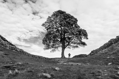 That tree... Sycamore Gap (9/25/2018) |
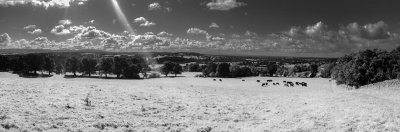
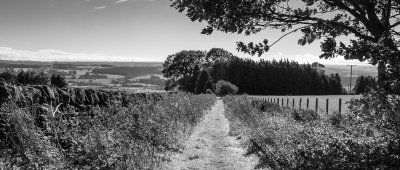
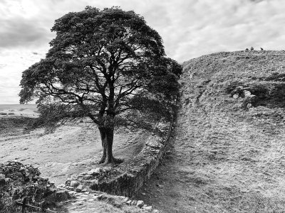 Looking south-west from above Sycamore Gap (9/25/2018) |
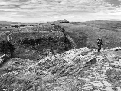 The path above Sycamore Gap (9/25/2018) |
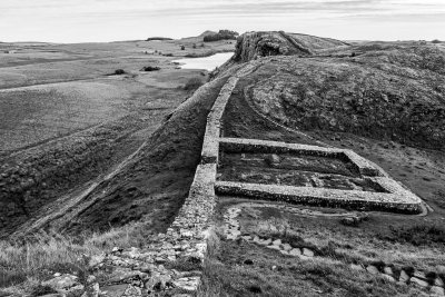
 Milecastle 37 (9/25/2018) |
 Granary, Housteads Fort (9/25/2018) |
 The Wall at Sewingshields Crags (9/25/2018) |
 Sewingshields Crags (9/25/2018) |
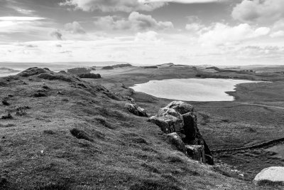 Broomlee Lough (9/25/2018) |
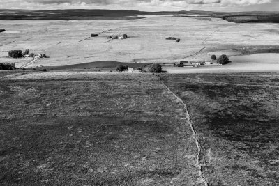
 Approaching the lowlands (9/25/2018) |
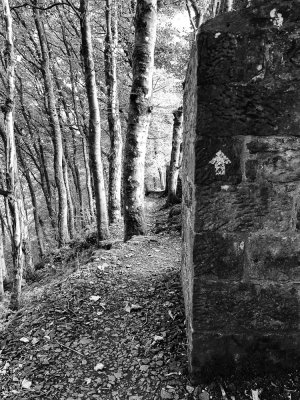 An arrow marks the way (9/25/2018) |
 Turret (9/25/2018) |
 Ditch (9/25/2018) |
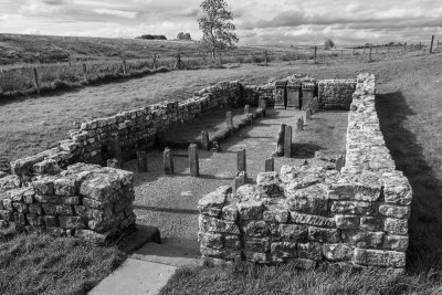 Temple of Mithras, Brocolitia Fort (9/25/2018) |
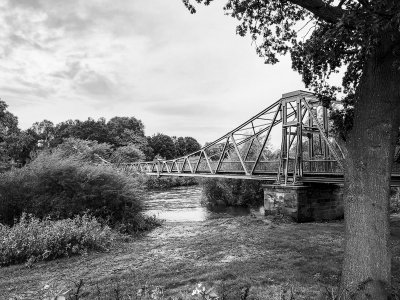
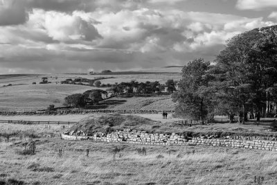
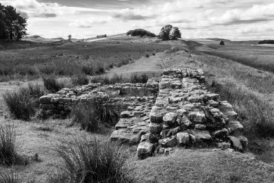
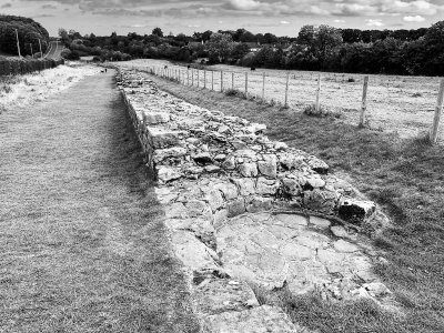
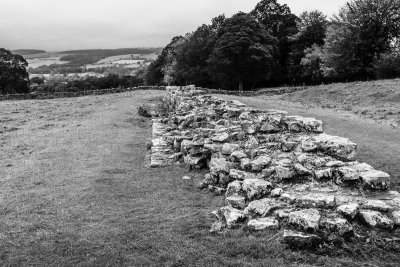 Trace of Wall, near Brunton (9/26/2018) |
 Ditch near St. Oswald (9/26/2018) |
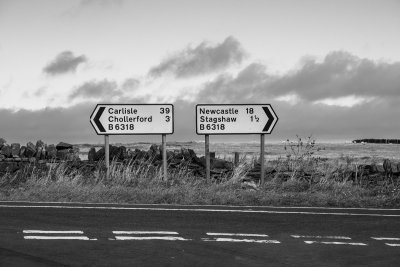
 To the north of Corbridge, the path parallels the B6318 (9/26/2018) |
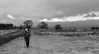
 Making progress (9/26/2018) |
 Heading to Corbridge (9/26/2018) |
 Heddon (9/27/2018) |
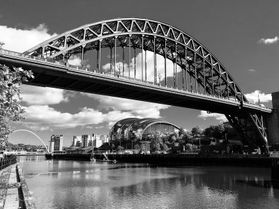 Newcastle (9/28/2018) |
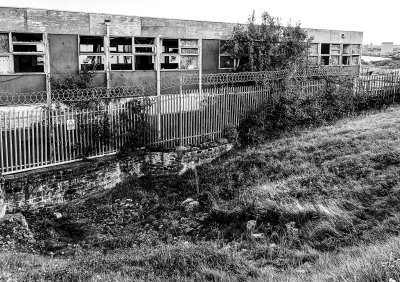 Wallsend - a few stones of the Wall are visible, running under a disused building (9/28/2018) |
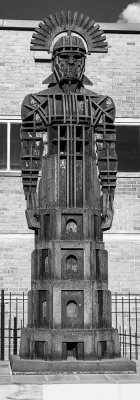 Sentius Tectonicus - modern statue of a Roman Centurion at the end of the Wall (9/28/2018) |
| comment | share |
| Robert Tallent | 26-Dec-2018 23:56 | |