


|
|
|
|
|
|
| Alan Sheckter Photo | profile | all galleries >> Nature, landscape photos >> Death Valley National Park, California, December 1-2, 2011 | tree view | thumbnails | slideshow |
| previous page | pages 1 2 ALL | next page |
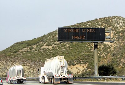 Heading to Death Valley from L.A. - Santa Ana winds were in force |
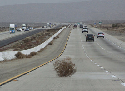 Wind-driven roadway obstacle |
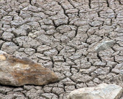 Dry creek bed near Baker |
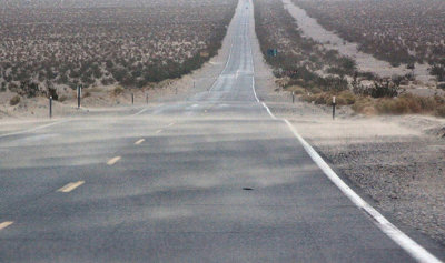 Swirling sand, Highway 127, south of Death Valley |
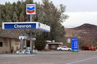 $5.10 for a gallon of regular, Shoshone Village |
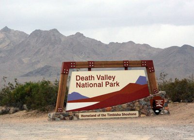 We made it |
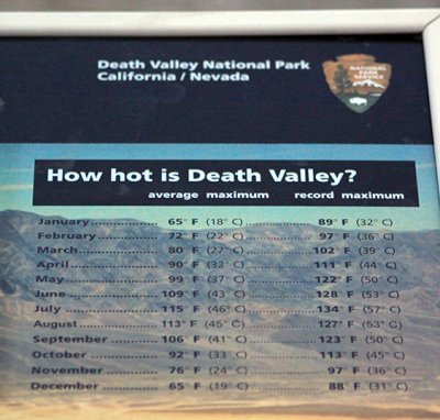
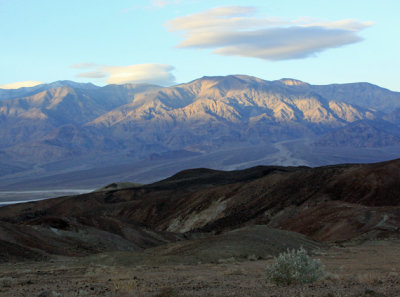
 Death Valley |
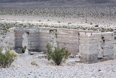 Ashford Mill ruins |
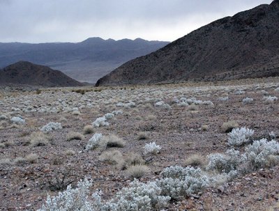
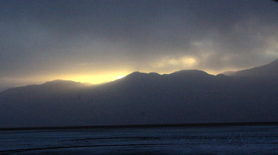 Dust in the air made for eerie landscape |
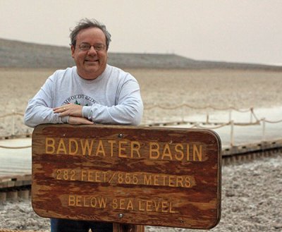
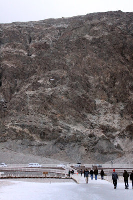
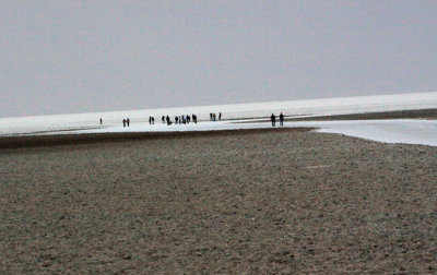 At Badwater Basin salt flats, lowest elevation in the U.S. |
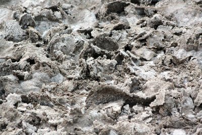 Salt crusts, Badwater Basin |
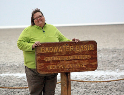 Donna |
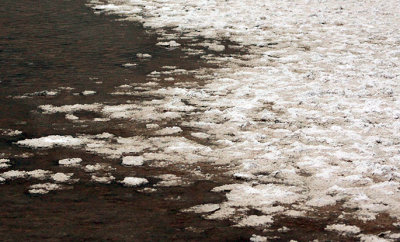 Salt crusts amid tiny area of water at Badwater Basin |
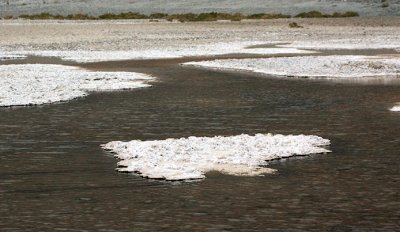 Salt crusts amid tiny area of water at Badwater Basin |
 Alan |
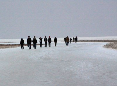 Badwater Basin salt flats |
 Badwater Basin salt flats |
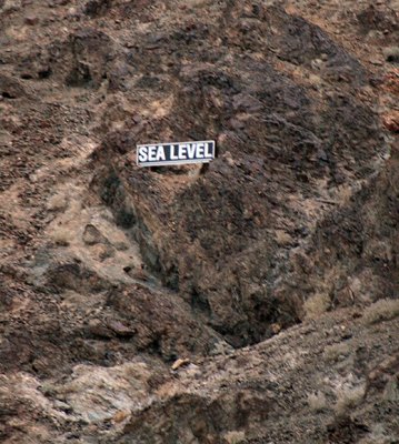 Sea level is way up there |
 Glad it was about 60 degrees this day, Dec. 1 |
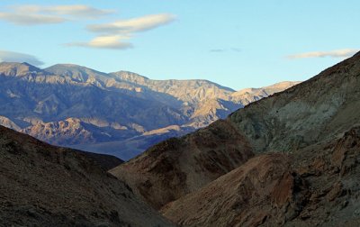
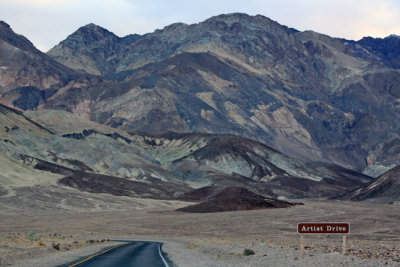 Artist Drive |
 Artist Drive |
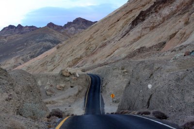 Artist Drive |
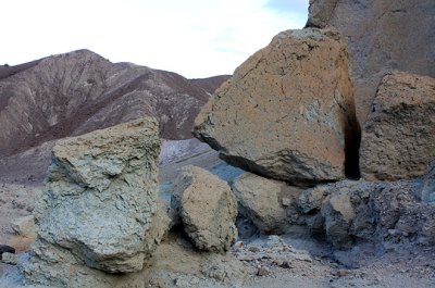
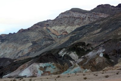 Artist's Palette area |
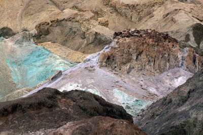 Artist's Palette area |
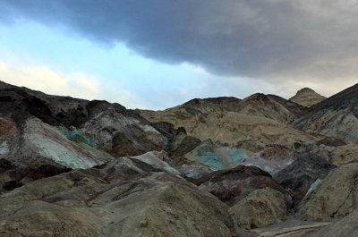 Artist's Palette area |
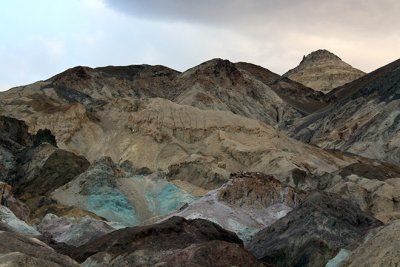 Artist's Palette area |
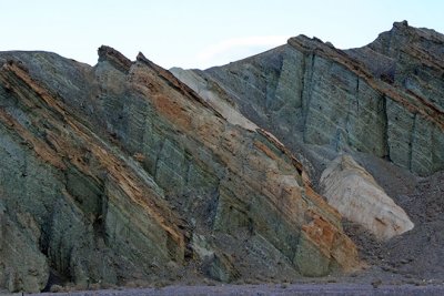
 Artist Drive |
 Artist Drive |
 Artist Drive |
 Artist Drive |
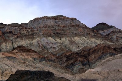
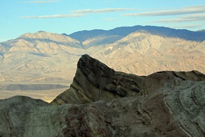
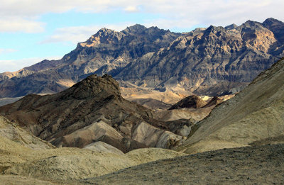
 Zabriskie Point area |
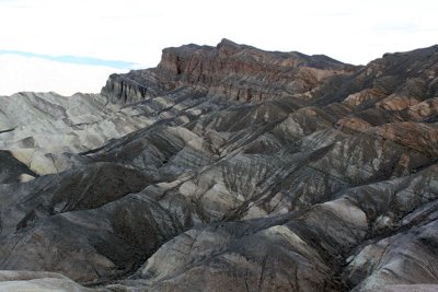 Zabriskie Point area |
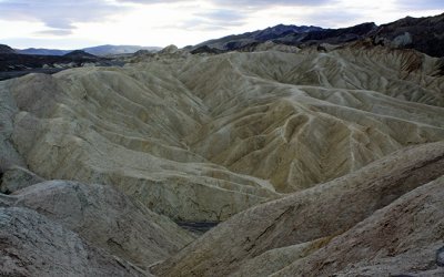 Zabriskie Point area |
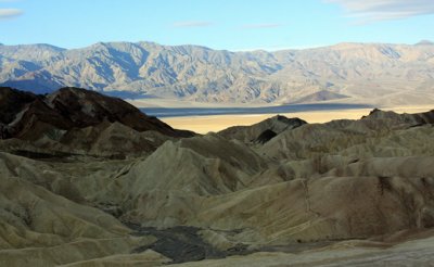 Zabriskie Point area |
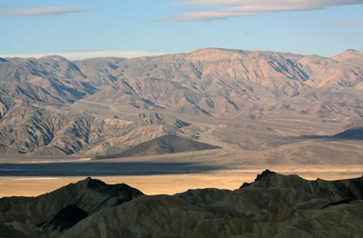 Zabriskie Point area |
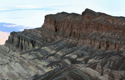 Zabriskie Point area |
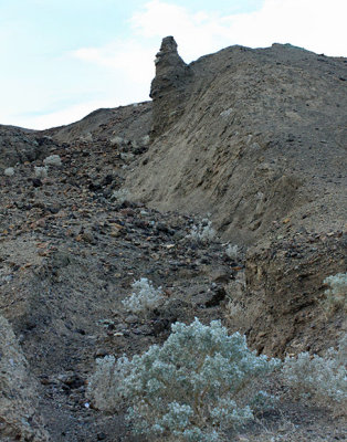
 20 Mule Team Canyon |
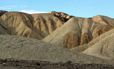 20 Mule Team Canyon |
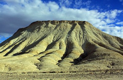 20 Mule Team Canyon |
 20 Mule Team Canyon |
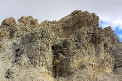 20 Mule Team Canyon |
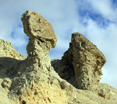 20 Mule Team Canyon |
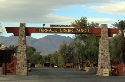 Furnace Creek - one of two tiny villages within the park, which is the size of Connecticut |
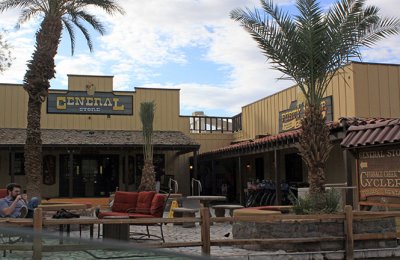 Furnace Creek |
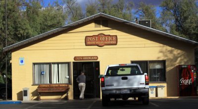 Furnace Creek Post Office |
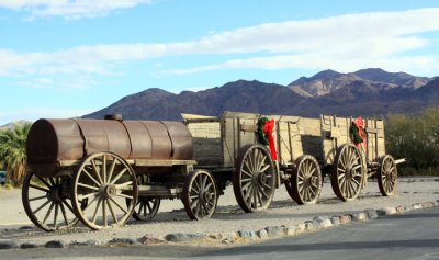 Furnace Creek |
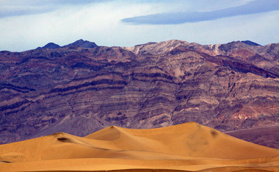 Panamint Sand Dunes |
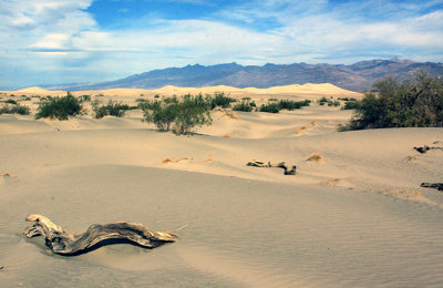 Panamint Sand Dunes |
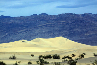 Panamint Sand Dunes |
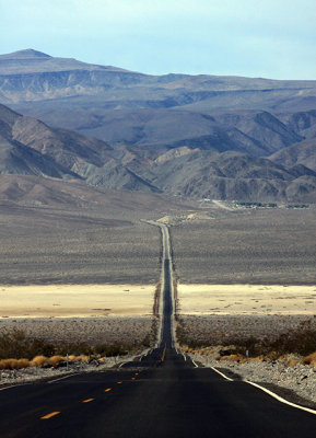 Highway 190, heading out of the Panamint Mountains |
| previous page | pages 1 2 ALL | next page |
| comment | share |