04-MAR-2015
Hidden...
Fort Langley DSC2958_Web.jpg
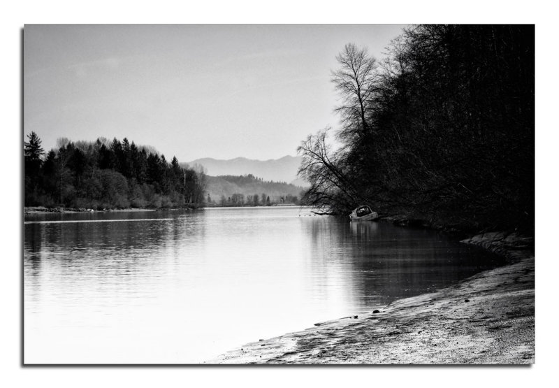
Still discovering a few gems on my morning ventures. The
Fraser River shoreline is normally only accessible by boat but this morning
we discovered a new path...
04-MAR-2015
Along The Fraser River
_DSC2903C_Web.jpg
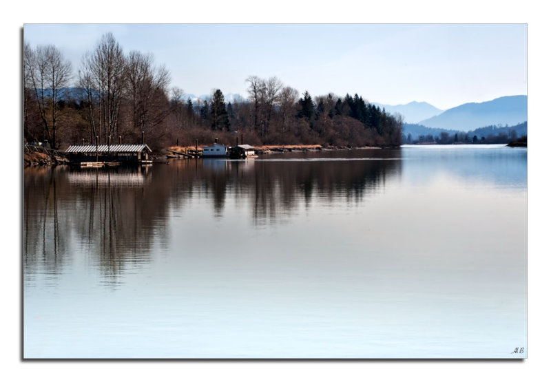
This is a new spot for me since I've been going to Fort Langley. Located
across the railroad tracks which leads to a short path that follows
the shoreline of the Fraser River. Captured shortly after sunrise it was
a nice start to the beginning of the day.
04-MAR-2015
Between The Lines...
Fort Langley, BC _DSC2882_V2_Web.jpg
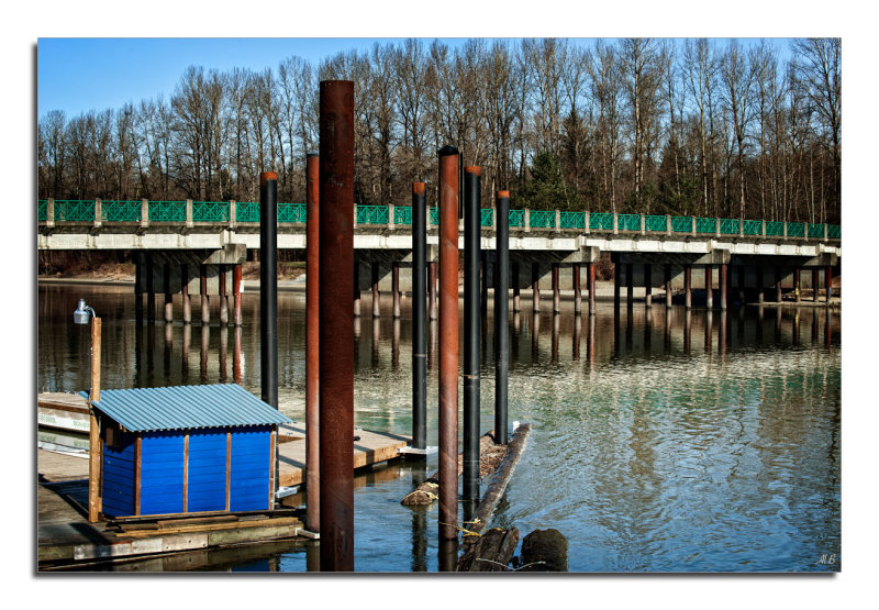
McMillan Island is an island in the Fraser River, located north
of Fort Langley and south of Maple Ridge, and separated from the
former by Bedford Channel, known as McMillan Slough.
A dock on the north side of the island was formerly the southern-bank
terminus of the Albion Ferry. However, with the opening of the
Golden Ears Bridge, ferry service has ceased.
10-MAR-2015
Reaching out....
_DSC3029_V2 _Web.jpg
Fort Langley, BC
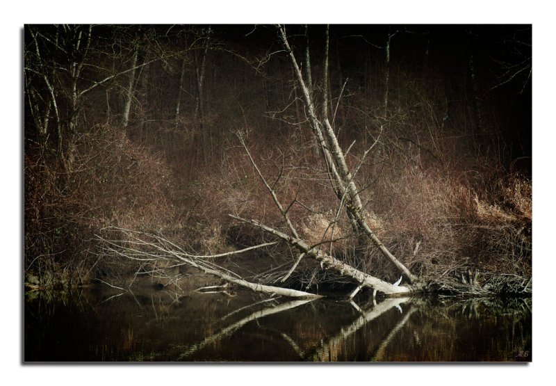
"Reaching out" is probably a good title for this image as
I am experimenting with new processing techniques,
and this is a textured/ tones composite blended image.
Technical info: Two composite images blended with a
textured background.
04-MAR-2015
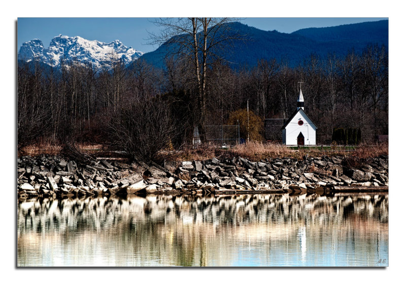
Across The River...
_DSC2985-Web7A.jpg - Technical: Lee Filter 3 stop / Blended Image
Fort Langley is a village community with a population of 3,400 and forms part
of the Township of Langley. It is the home of Fort Langley National Historic Site,
a former furtrade post of the Hudson's Bay Company. Lying on the Fraser River, Fort
Langley is at the northern edge where you can enjoy the views of Mount Baker and
Golden Ears.
This church shown is located across the river on native reserve. This image
was captured in the early morning light as the sun crested the mountain
top.