


|
|
|
|
|
|
| Sunbird Photos by Don Boyd | profile | all galleries >> Landscape and Aerial Stock Photos Gallery >> Aerial Landscape Stock Photos Gallery >> Florida Aerial Stock Photos Gallery (other than Ft. Lauderdale, Miami Lakes and Space Coast) | tree view | thumbnails | slideshow |
Most stock images are available for commercial licensing at reasonable prices. We can provide large size (usually landscape mode but portrait mode for some) 300dpi unsharpened TIF or JPG files fast via e-mail attachment. Please contact us at SunbirdPhotos@gmail.com or 305-401-9225 for a fast quote for your intended usage.
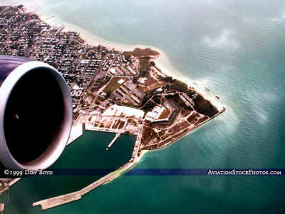 Aerial photo of Key West harbor, Ft. Zachary Taylor and NAS Key West Truman Annex |
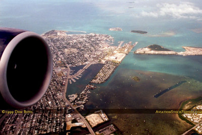
 Key West, FL aerial photo with Key West International Airport and NAS Key West in the top background |
 Key West, Florida aerial photo |
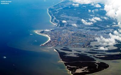 Coastline of Southwest Florida along the Gulf of Mexico aerial photo |
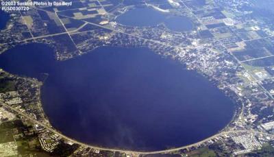 Lake Jackson at Sebring, Florida aerial stock photo #5267 |
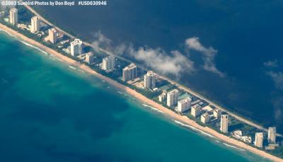 Oceanfront Condos in Palm Beach County, Florida aerial stock photo #7072 |
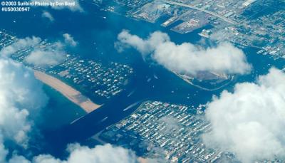 Lake Worth Inlet, Florida aerial stock photo #7073 |
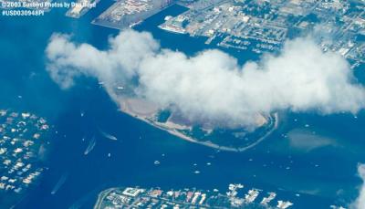 Lake Worth Inlet and Peanut Island, Florida aerial stock photo #7074 |
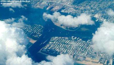 Lake Worth Inlet and Peanut Island, Florida aerial stock photo #7074C |
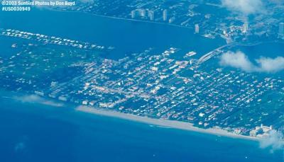 Palm Beach and West Palm Beach aerial stock photo #7076 |
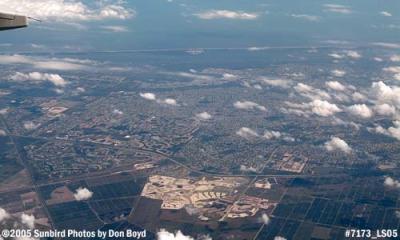 Martin County, Florida looking east aerial stock photo #7173 |
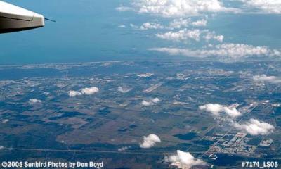 Vero Beach (top center) and Indian River County, Florida aerial stock photo #7174 |
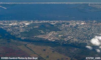
 Sebastian and Sebastian Inlet, Florida aerial stock photo #7175 |
 2005 - Sebastian Municipal Airport, Sebastian, Florida aerial stock photo #7175C |
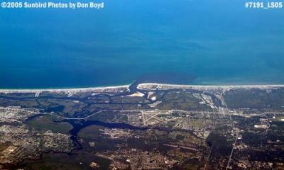 Ponce de Leon Inlet (top center) and New Smyrna Beach, Florida aerial stock photo #7191 |
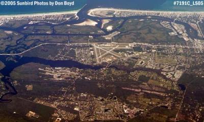 2005 - Ponce de Leon Inlet and New Smyrna Beach Municipal Airport aerial stock photo #7191C |
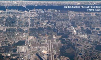 2005 - Daytona and Daytona Beach aerial stock photo #7192 |
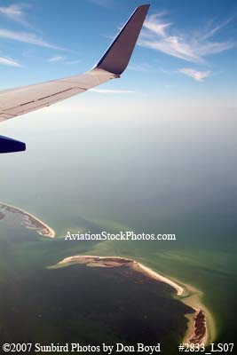 2007 - Grassy Key and Hog Island in the middle left, un-named island on right Florida aerial stock photo #2833 |
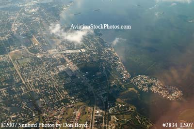 2007 - Palm Harbor and Indian Bluff Island on the lower right aerial stock photo #2834 |
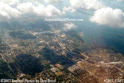 2007 - Palm Harbor, Florida landscape aerial stock photo #2835 |
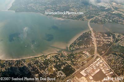 2007 - Oldsmar (lower) and Safety Harbor (upper) landscape aerial stock photo #2836 |
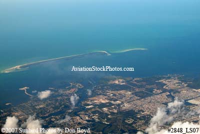 2007 - Tarpon Springs and Anclote Keys, Florida, aerial stock photo #2848 |
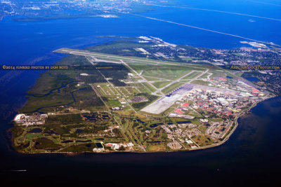 2014 - aerial photo of MacDill Air Force Base landscape military aerial stock photo #6118 |
| comment | share |