


|
|
|
|
|
|
| Alicia | profile | all galleries >> Flooding in the Southern Tier >> Aerial Views of the Southern Tier of NY | tree view | thumbnails | slideshow |
| previous page | pages 1 2 ALL | next page |
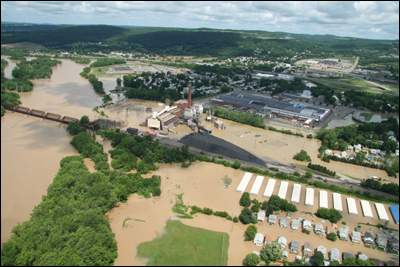 AES-Westover plant.jpg |
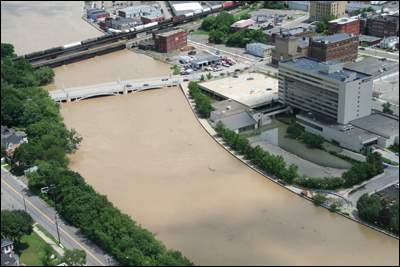
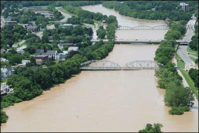 Binghamton bridges LW.jpg |
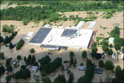 Chesapeake Packaging Co.jpg |
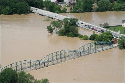 Confluence Park.jpg |
 Conklin Road.jpg |
 Conklin Town Hall.jpg |
 Court Street.jpg |
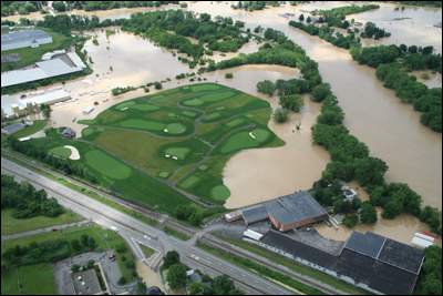
 En-Joie Golf Club.jpg |
 Frito-Lay.jpg |
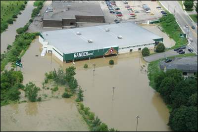 Gander Mountain.jpg |
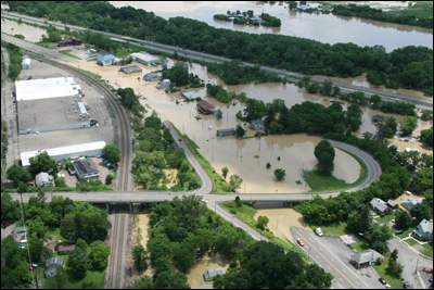 George F. Highway.jpg |
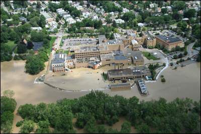 Lourdes Hospital.jpg |
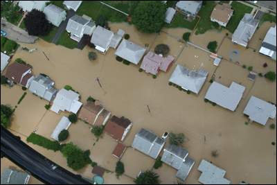 Neighborhood.jpg |
 Regency.jpg |
 River Run.jpg |
 Route 17.jpg |
| previous page | pages 1 2 ALL | next page |
| comment | share |