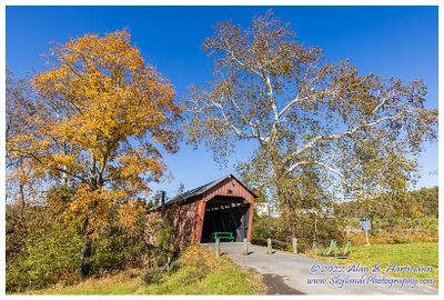
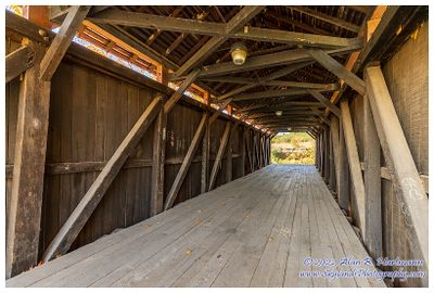
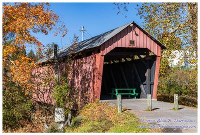
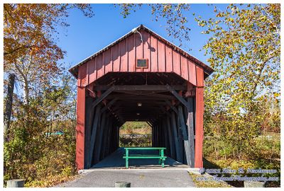
Alan Hartmann |
profile
|
all galleries
>>
Covered Bridges
>>
West Virginia
>> 48-17-12 Harrison County, Simpson Creek CB
tree view
| thumbnails |
slideshow
|
map
48-17-12 Harrison County, Simpson Creek CB
In Bridgeport, spans Simpson Creek.
GPS 39.30875 -80.27940
Google Maps
Covered Bridge Information
SKY00644-Edit.jpg
SKY00646.jpg
SKY00647-HDR.jpg
SKY00652.jpg
SKY00656.jpg
comment
|
share
Type your message and click Add Comment
It is best to
login
or
register
first but you may post as a guest.
Enter an optional name and contact email address.
Name
Name
Email
help
private comment
click on thumbnails for full image