


|
|
|
|
|
|
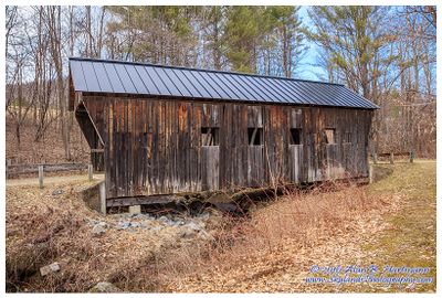
| Alan Hartmann | profile | all galleries >> Covered Bridges >> Covered Bridges of Vermont >> 45-14-05 Windsor County, Salmond CB | tree view | thumbnails | slideshow | map |
 IA7X9864-Crop.jpg |
 IA7X9866.jpg |
 IA7X9868.jpg |
 IA7X9875.jpg |
 IA7X9879.jpg |
 IA7X9884.jpg |
 IA7X9888.jpg |
 SKY32415.jpg |
 SKY32419.jpg |
 SKY32422.jpg |
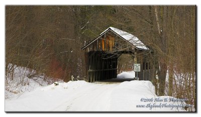
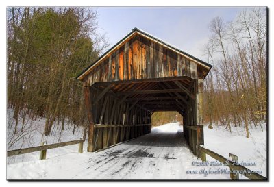
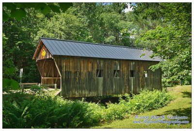
 Salmond Covered Bridge |
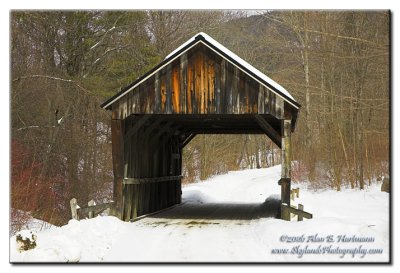
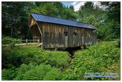
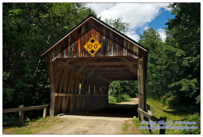
 Salmond Covered Bridge |
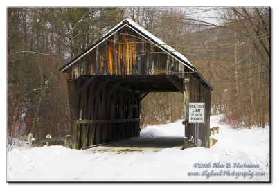
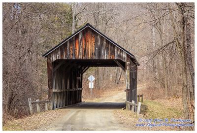
 Salmond Covered Bridge |
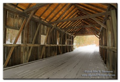
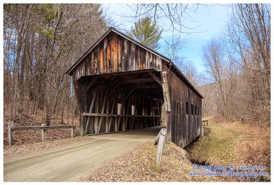
 Salmond Covered Bridge |
| comment | share |