


|
|
|
|
|
|
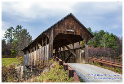
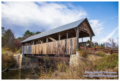
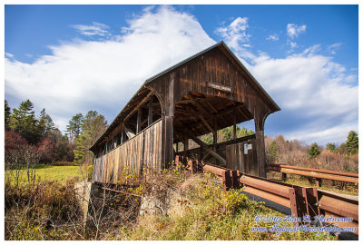
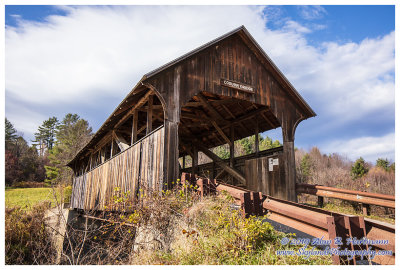
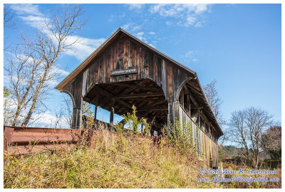
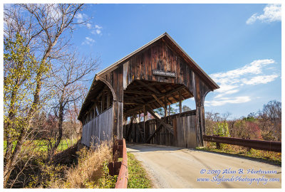
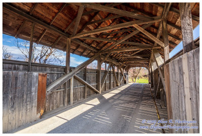
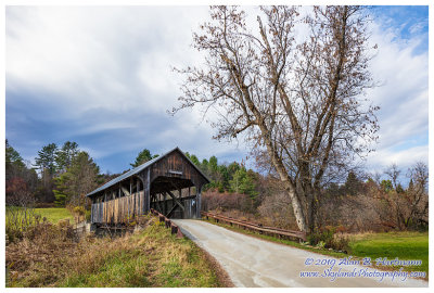
| Alan Hartmann | profile | all galleries >> Covered Bridges >> Covered Bridges of Vermont >> 45-12-02 Washington County, Coburn CB | tree view | thumbnails | slideshow | map |
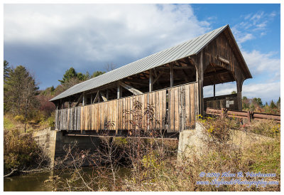
 SKY25791Edit.jpg |
 SKY25795edit.jpg |
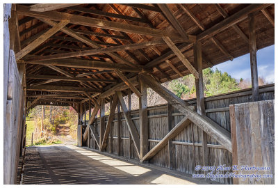
 SKY25797Edit.jpg |
 SKY25804Edit.jpg |
 SKY25805Edit.jpg |
 SKY25807Edit.jpg |
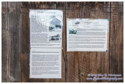
 SKY25811HDR.jpg |
 SKY25812.jpg |
 SKY25814Edit.jpg |
 SKY25816.jpg |
 SKY25819Edit.jpg |
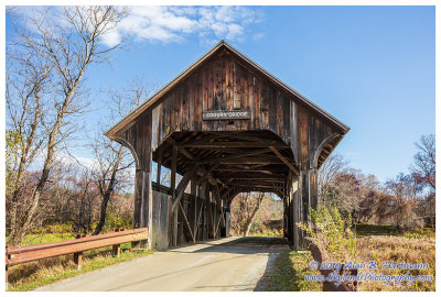
 SKY25823HDR.jpg |
 SKY25827Edit.jpg |
| comment | share |