


|
|
|
|
|
|
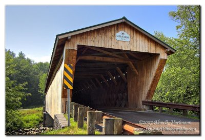
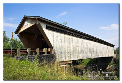
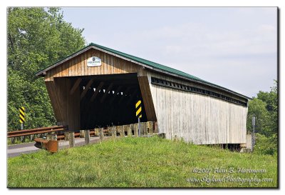
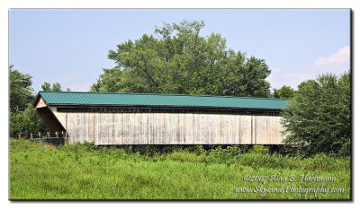
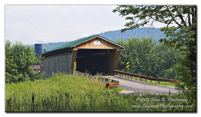
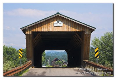
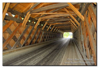
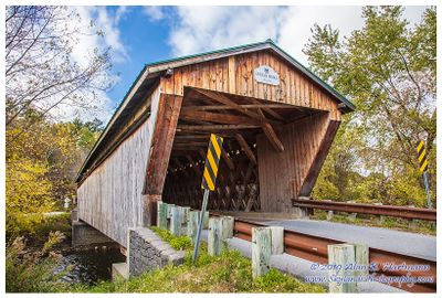
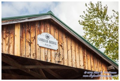
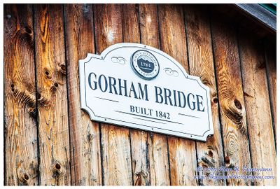
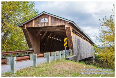
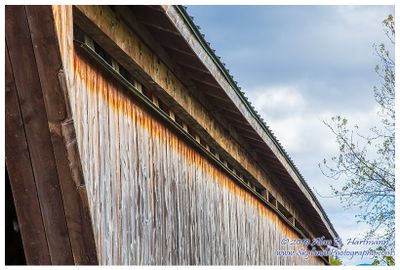
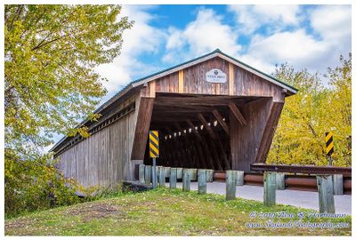
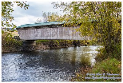
| Alan Hartmann | profile | all galleries >> Covered Bridges >> Covered Bridges of Vermont >> 45-11-04 Rutland County, Gorham Covered Bridge | tree view | thumbnails | slideshow | map |
 IA7X9705_3_4.jpg |
 IA7X9710.JPG |
 IA7X9713.JPG |
 IA7X9715.JPG |
 IA7X9719.JPG |
 IA7X9720.JPG |
 IA7X9722.JPG |
 IA7X9734_2_3.jpg |
 SKY18790.jpg |
 SKY18793.jpg |
 SKY18795.jpg |
 SKY18798.jpg |
 SKY18800.jpg |
 SKY18804.jpg |
 SKY18808.jpg |
| comment | share |