


|
|
|
|
|
|
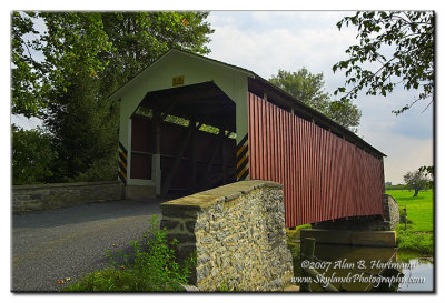
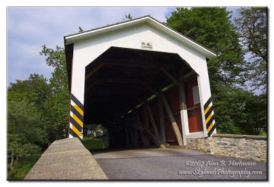
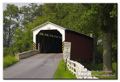
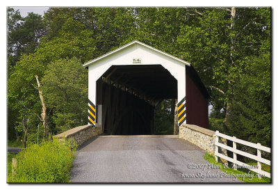
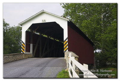
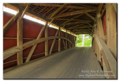
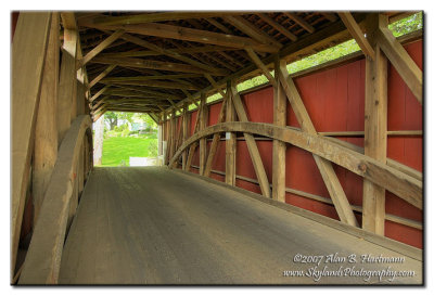
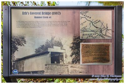
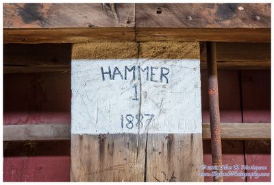
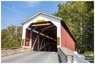
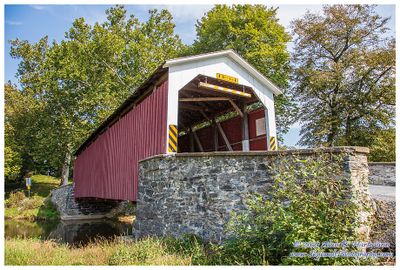
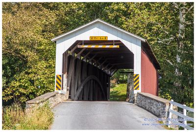
| Alan Hartmann | profile | all galleries >> Covered Bridges >> Covered Bridges of Pennsylvania >> 38-36-34 Lancaster County, Erb’s | tree view | thumbnails | slideshow | map |
 ia7x2289.jpg |
 ia7x2291.jpg |
 ia7x2293.jpg |
 ia7x2298.jpg |
 ia7x2301.jpg |
 ia7x2304.jpg |
 ia7x2307.jpg |
 SKY30190.jpg |
 SKY30192.jpg |
 SKY30193.jpg |
 SKY30205.jpg |
 SKY30209.jpg |
 SKY30214-HDR.jpg |
 SKY30220.jpg |
| comment | share |