


|
|
|
|
|
|
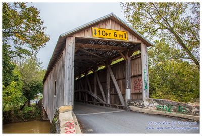
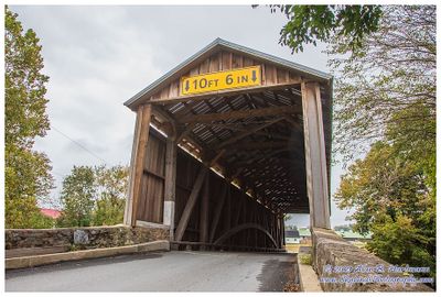
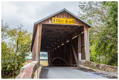
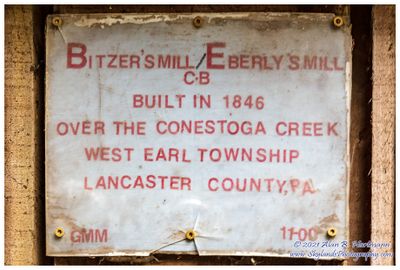
| Alan Hartmann | profile | all galleries >> Covered Bridges >> Covered Bridges of Pennsylvania >> 38-36-04 Lancaster County, Eberly Mill | tree view | thumbnails | slideshow | map |
 ia7x2313.jpg |
 ia7x2316.jpg |
 ia7x2319.jpg |
 ia7x2322.jpg |
 SKY30310.jpg |
 SKY30314.jpg |
 SKY30316.jpg |
 SKY30320.jpg |
 SKY30322.jpg |
| comment | share |