Alan Hartmann |
profile
|
all galleries
>>
Covered Bridges
>>
Covered Bridges of Oregon
>> 37-20-36 Lane County, Wendling CB
tree view
| thumbnails |
slideshow
|
map
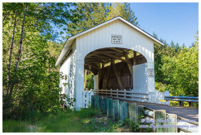
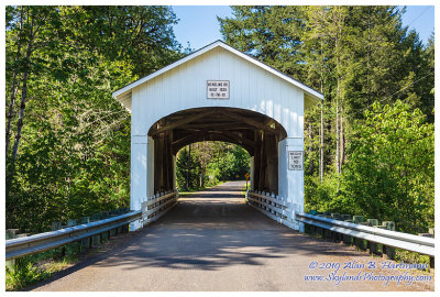
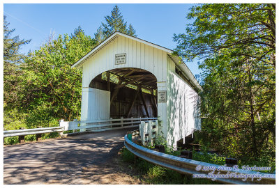
37-20-36 Lane County, Wendling CB
On Wendling Rd apx 3.5 miles northeast of Wendling OR (3 miles from 37-20-35 Earnest CB)
Spans Mill Creek
GPS: 44.1912, -122.7988
PBase Maps
SKY21441.jpg
SKY21447.jpg
SKY21448.jpg
comment
|
share
Type your message and click Add Comment
It is best to
login
or
register
first but you may post as a guest.
Enter an optional name and contact email address.
Name
Name
Email
help
private comment
click on thumbnails for full image