


|
|
|
|
|
|
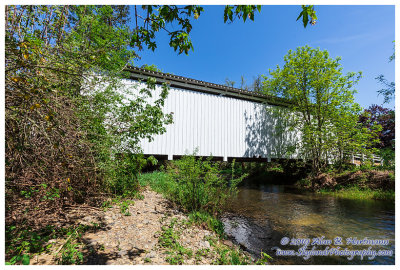
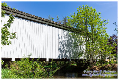
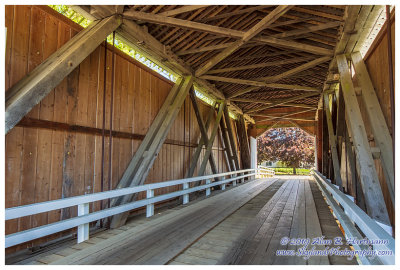
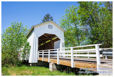
| Alan Hartmann | profile | all galleries >> Covered Bridges >> Covered Bridges of Oregon >> 37-20-19#2 Lane County, Parvin CB | tree view | thumbnails | slideshow | map |
 SKY21339.jpg |
 SKY21341.jpg |
 SKY21346HDR.jpg |
 SKY21349.jpg |
 SKY21353.jpg |
 SKY21356.jpg |
| comment | share |