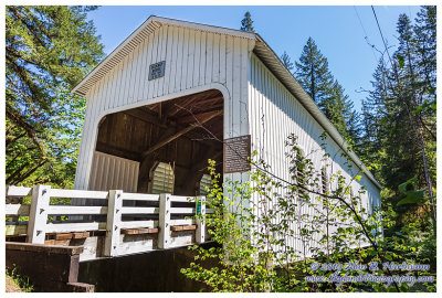
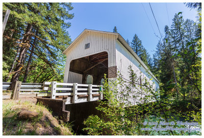
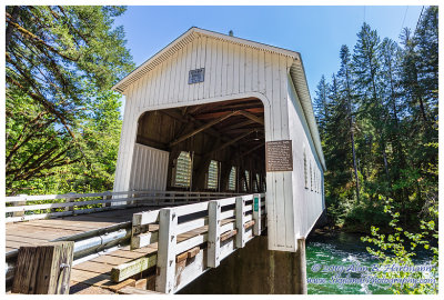
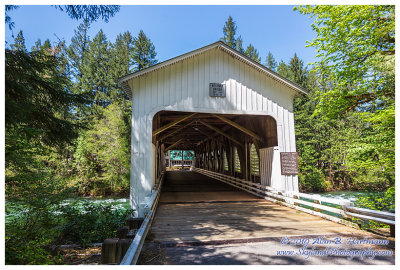
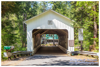
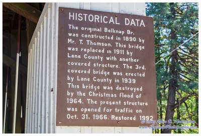
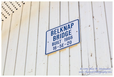
Alan Hartmann |
profile
|
all galleries
>>
Covered Bridges
>>
Covered Bridges of Oregon
>> 37-20-11#4 Lane County, Belknap CB
tree view
| thumbnails |
slideshow
|
map
37-20-11#4 Lane County, Belknap CB
On King Road East, off McKenzie River Drive, 1 mile off McKenzie Highway (Rt 126) in McKenzie Bridge OR
Spans the McKenzie River
GPS: 44.1680, -122.2283
PBase Maps
SKY21394.jpg
SKY21398.jpg
SKY21403.jpg
SKY21408.jpg
SKY21413.jpg
SKY21415.jpg
SKY21416.jpg
comment
|
share
Type your message and click Add Comment
It is best to
login
or
register
first but you may post as a guest.
Enter an optional name and contact email address.
Name
Name
Email
help
private comment
click on thumbnails for full image