


|
|
|
|
|
|
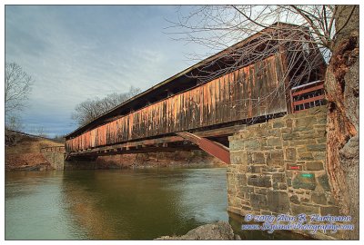
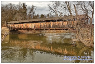
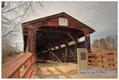
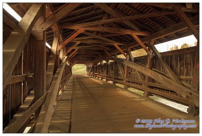
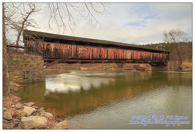
| Alan Hartmann | profile | all galleries >> Covered Bridges >> Covered Bridges of New York >> 32-56-01 Ulster County, Perrine Covered Bridge | tree view | thumbnails | slideshow | map |
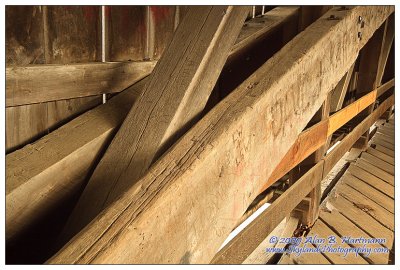
 SKY25203.jpg |
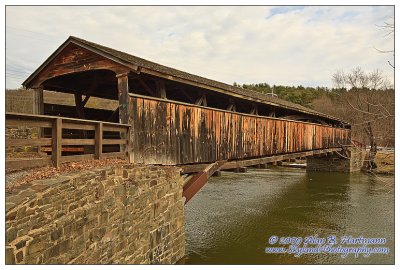
 SKY25206.jpg |
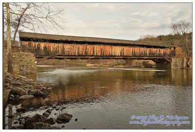
 SKY25213.jpg |
 SKY25216.jpg |
 SKY25220.jpg |
 SKY25221.jpg |
 SKY25227.jpg |
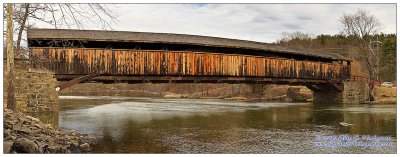 SKY25234-SKY25245.jpg |
 SKY25246.jpg |
| comment | share |