


|
|
|
|
|
|
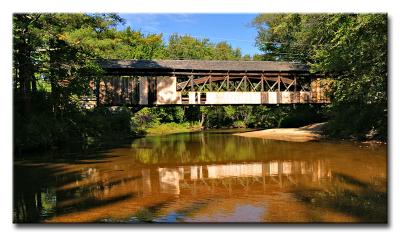
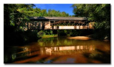
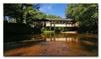
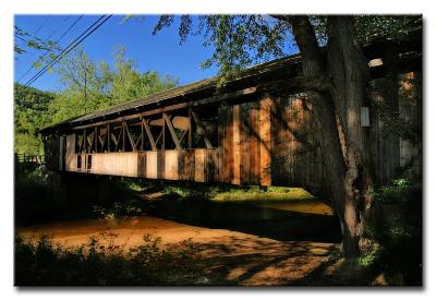
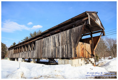
| Alan Hartmann | profile | all galleries >> Covered Bridges >> Covered Bridges of New Hampshire >> 29-02-08 -- Whittier Bridge, West Ossipee NH (NH #46) | tree view | thumbnails | slideshow | map |
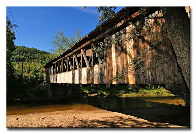
 CRW_6855 |
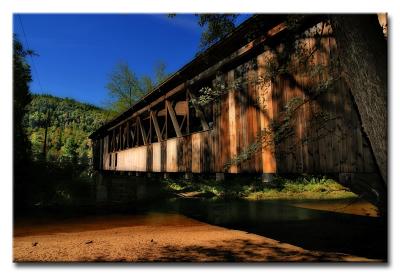
 CRW_6855 (effect) |
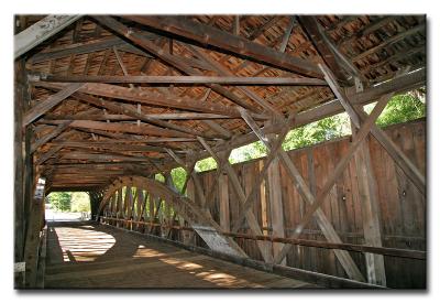
 CRW_6858 |
 CRW_6860 |
 CRW_6868 |
 CRW_6869 |
 CRW_6869 (effect) |
 CRW_6872 |
 CRW_6874 |
 CRW_6877 |
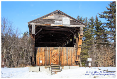 SKY14006.jpg |
 SKY14007.jpg |
 SKY14010.jpg |
 SKY14012.jpg |
| comment | share |