


|
|
|
|
|
|
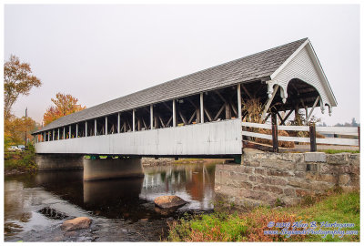
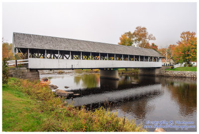
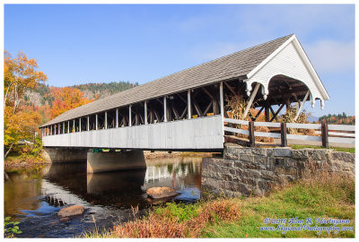
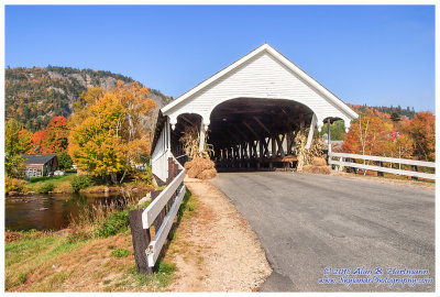
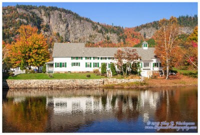
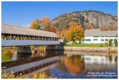
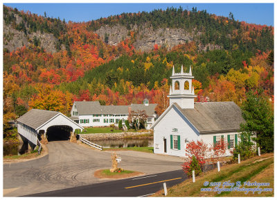
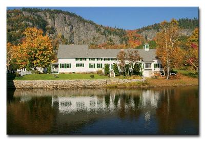
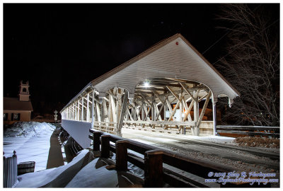
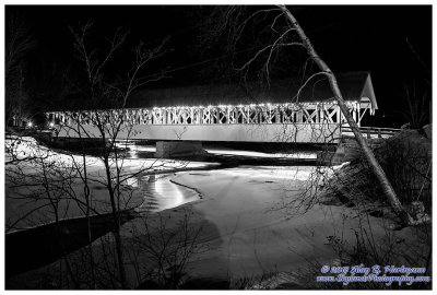
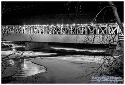
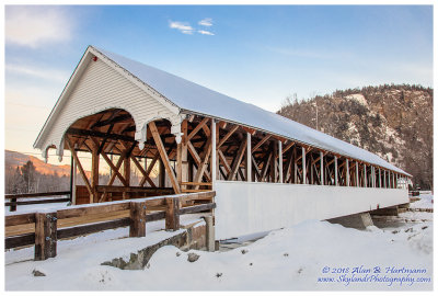
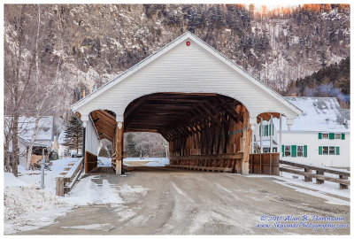
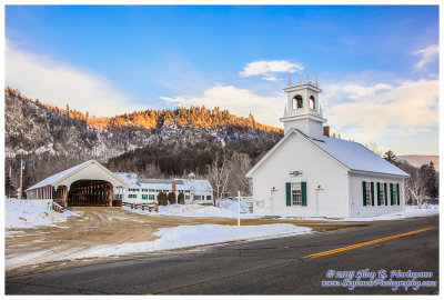
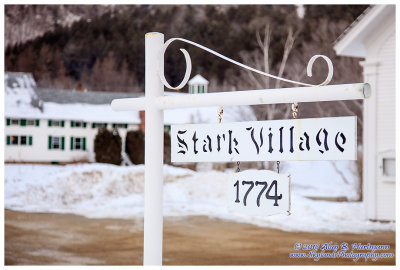
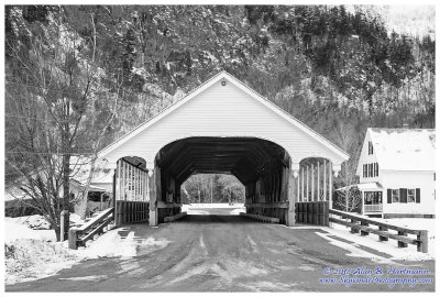
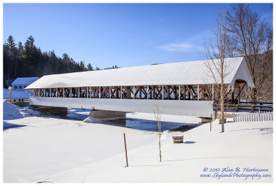
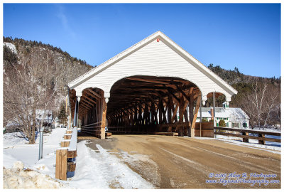
| Alan Hartmann | profile | all galleries >> Covered Bridges >> Covered Bridges of New Hampshire >> 29-04-05 -- Stark Bridge, Stark NH (NH #37) | tree view | thumbnails | slideshow | map |
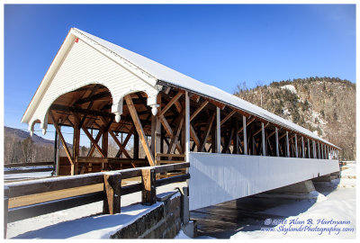
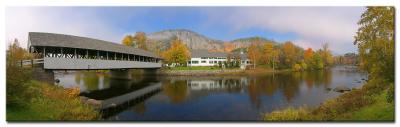 Stark Bridge, Stark NH Pano #26433 |
 CRW_6413L |
 CRW_6420L |
 CRW_6419.jpg |
 CRW_6421.jpg |
 CRW_6422.jpg |
 CRW_6444L. |
 CRW_6442.jpg |
 CRW_6448L |
 CRW_6451L |
 CRW_6452.jpg |
 CRW_6453.jpg |
 CRW_6455.jpg |
 CRW_6458.jpg |
 CRW_6460.jpg |
 CRW_6468L |
 CRW_6457L |
 CRW_6456L |
 SKY13784.jpg |
 SKY13788.jpg |
 SKY13791.jpg |
 SKY13797.jpg |
 SKY13799.jpg |
 SKY13802.jpg |
 SKY13813.jpg |
 SKY13818.jpg |
 SKY13820.jpg |
 SKY13821.jpg |
 SKY13826.jpg |
 SKY13832.jpg |
 SKY13836.jpg |
 SKY13838.jpg |
 SKY13840.jpg |
 SKY13843.jpg |
| comment | share |