


|
|
|
|
|
|
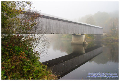
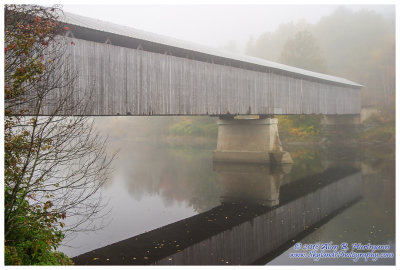
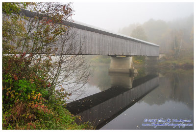
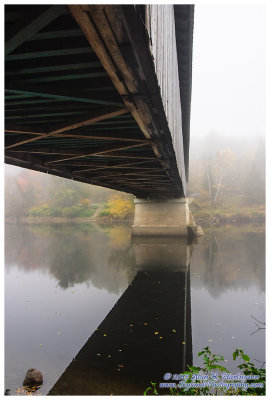
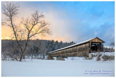
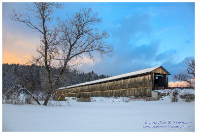
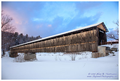
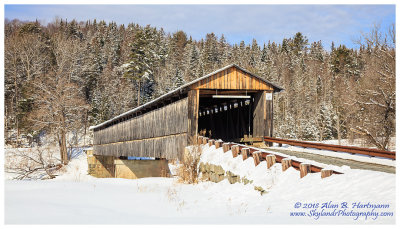
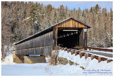
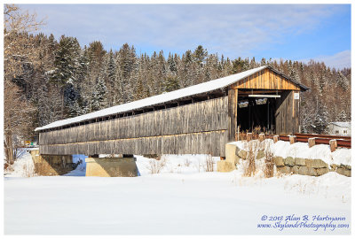
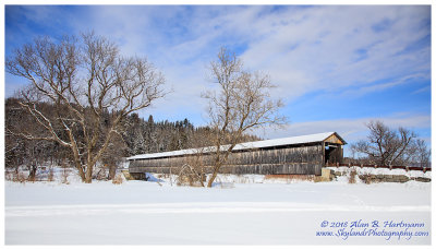
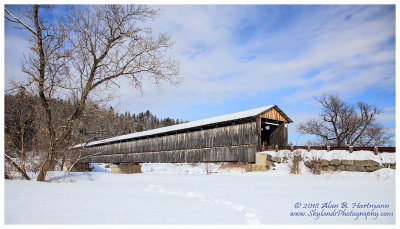
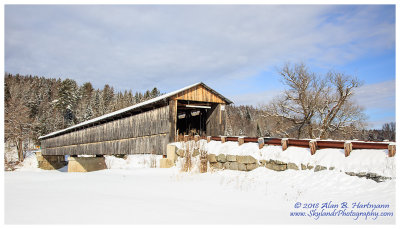
| Alan Hartmann | profile | all galleries >> Covered Bridges >> Covered Bridges of New Hampshire >> 29-04-08-- Mt. Orne Bridge, Lancaster NH & Lunenburg VT (NH #30) | tree view | thumbnails | slideshow | map |
 CRW_6367L |
 CRW_6369L |
 CRW_6371L |
 CRW_6372.jpg |
 CRW_6373L |
 CRW_6374.jpg |
 CRW_6375.jpg |
 CRW_6380.jpg |
 CRW_6381L |
 SKY13759.jpg |
 SKY13760.jpg |
 SKY13765-2.jpg |
 SKY13767.jpg |
 SKY13775.jpg |
 SKY13780.jpg |
 SKY13900.jpg |
 SKY13901.jpg |
 SKY13902.jpg |
 SKY13906.jpg |
 SKY13910.jpg |
 SKY13917.jpg |
| comment | share |