


|
|
|
|
|
|
| Alan Hartmann | profile | all galleries >> Covered Bridges >> Covered Bridges of New Hampshire >> 29-10-10 Sullivan County, Blow-Me-Down CB | tree view | thumbnails | slideshow | map |
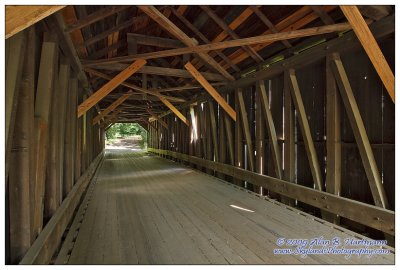
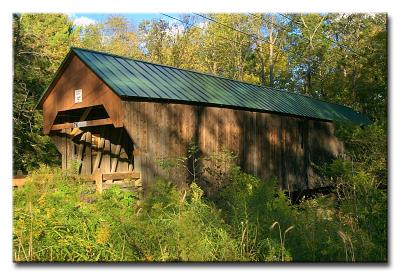 CRW_6286L |
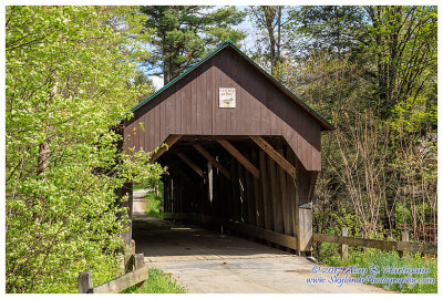
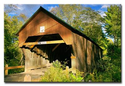 CRW_6291L |
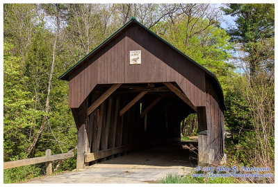
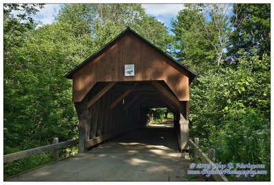 SKY32470.jpg |
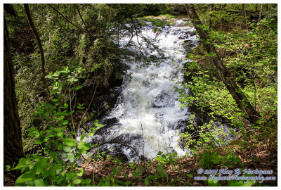
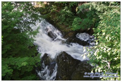 SKY32472.jpg |
 SKY32475.jpg |
 SKY01104.jpg |
 SKY01105.jpg |
 SKY01109.jpg |
| comment | share |