


|
|
|
|
|
|
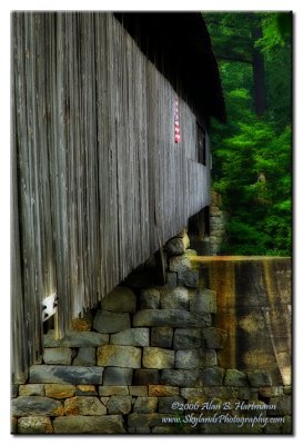
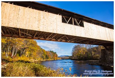
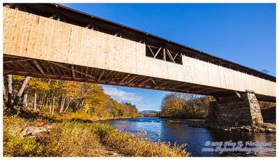
| Alan Hartmann | profile | all galleries >> Covered Bridges >> Covered Bridges of New Hampshire >> 29-05-09 Grafton County, Blair CB | tree view | thumbnails | slideshow | map |
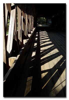
 CRW_0168L |
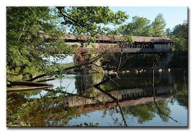
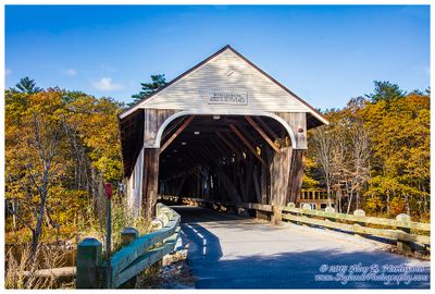
 #0174 -- Blair Bridge 1869 |
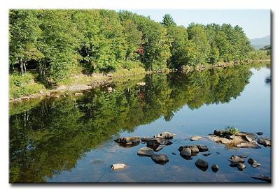
 CRW_0176L |
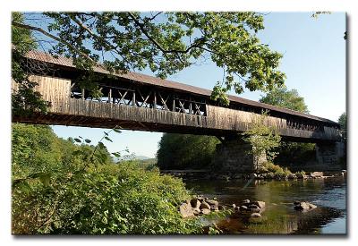
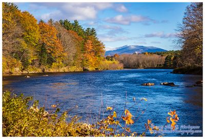
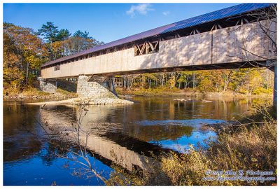
 #0179 -- Pemigewasset River |
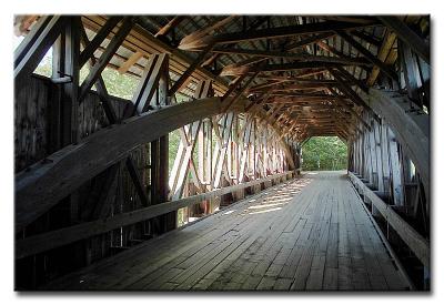
 CRW_0184L |
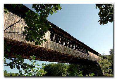
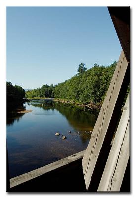
 #0185 -- Pemigewasset River |
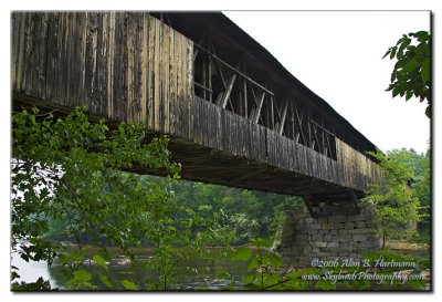
 CRW_0188L |
 IA7X6392 |
 IA7X6394 |
 SKY18916.jpg |
 SKY18919.jpg |
 SKY18921.jpg |
 SKY18925.jpg |
 SKY18932-HDR-Edit.jpg |
 SKY18936-Edit.jpg |
 SKY18939.jpg |
 SKY18951.jpg |
 SKY18953.jpg |
| comment | share |