


|
|
|
|
|
|
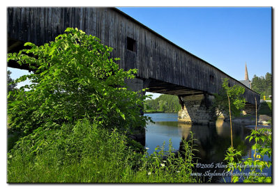
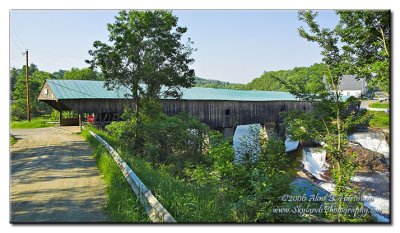
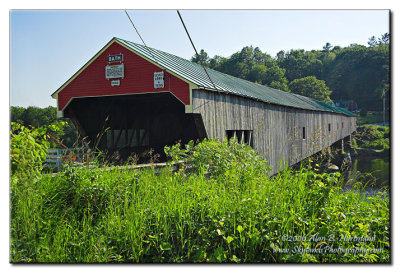
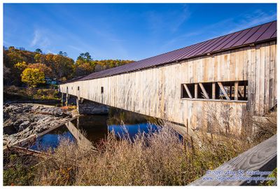
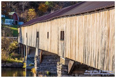
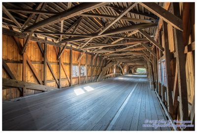
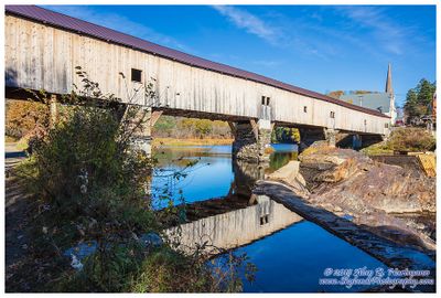
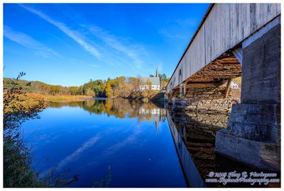
| Alan Hartmann | profile | all galleries >> Covered Bridges >> Covered Bridges of New Hampshire >> 29-05-03 Grafton County, Bath CB | tree view | thumbnails | slideshow | map |
 IA7X6076 |
 IA7X6081 |
 IA7X6086 |
 IA7X6087 |
 IA7X6091 |
 IA7X6092 |
 IA7X6095 |
 IA7X6101 |
 IA7X6108 |
 IA7X6112 |
 IA7X6113 |
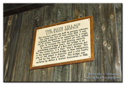
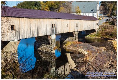
 SKY19036-Edit.jpg |
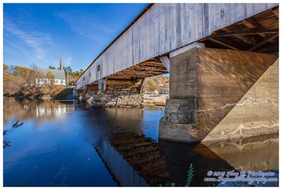
 SKY19034-HDR-Edit.jpg |
 SKY19037-HDR.jpg |
 SKY19051.jpg |
 SKY19053-Edit.jpg |
 SKY19059-Edit.jpg |
 SKY19062.jpg |
 SKY19068.jpg |
| comment | share |