photo sharing and upload picture albums photo forums search pictures popular photos photography help login
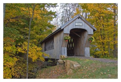
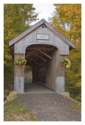
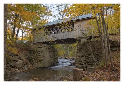
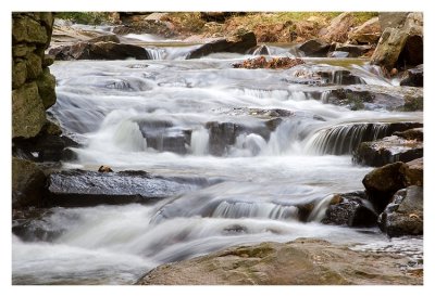
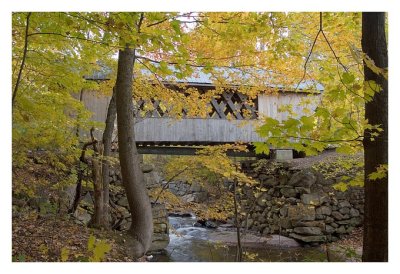
Alan Hartmann | profile | all galleries >> Covered Bridges >> Covered Bridges of New Hampshire >> 29-01-02 Belknap County, Tannery Hill tree view | thumbnails | slideshow | map

29-01-02 Belknap County, Tannery Hill

Accessible from the parking lot behind the fire house on Rt 11A (Cherry Valley Rd), just northeast of Schoolhouse Hill Rd, in Gilford Township. Spans the Gunstock River.

N43 32.988 W71 24.318

Added to PBase Maps 5/2/08


[ Yahoo! Maps ]
Gilford NH
IMG_6421.jpg
IMG_6421.jpg
IMG_6432.jpg
IMG_6432.jpg
IMG_6433.jpg
IMG_6433.jpg
IMG_6439.jpg
IMG_6439.jpg
IMG_6449.jpg
IMG_6449.jpg