photo sharing and upload picture albums photo forums search pictures popular photos photography help login
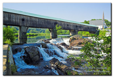
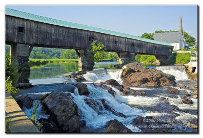
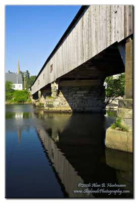
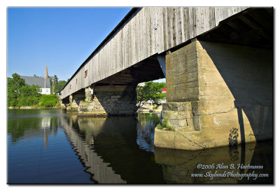
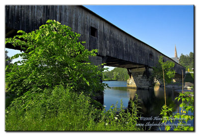
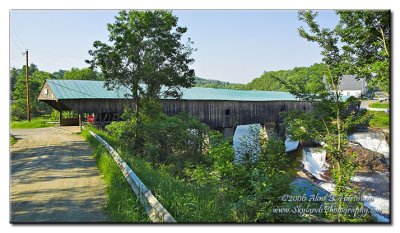
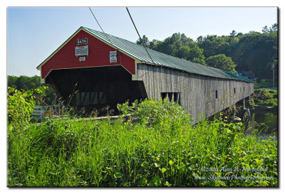
Alan Hartmann | profile | all galleries >> Covered Bridges >> Covered Bridges of New Hampshire >> #28 -- Bath Covered Bridge (Grafton Cty, WGN 29-05-03) tree view | thumbnails | slideshow | map

#28 -- Bath Covered Bridge (Grafton Cty, WGN 29-05-03)

Bath NH. Spans the Ammonoosuc River.

On Pettyboro Rd, off Rt. 10 / 302, right in the center of Bath. Parking is available at the square in the village center on the eastern end of the bridge, and there’s a small lot at the intersection of Pettyboro & Railroad St on the western end. Take the path down to the river on the southwest corner of the bridge for the best vantage points.

N44 10.010 W71 58.010

Added to PBase Maps 4/30/08


[ Yahoo! Maps ]
Bath, NH
IA7X6076
IA7X6076
IA7X6081
IA7X6081
IA7X6086
IA7X6086
IA7X6087
IA7X6087
IA7X6091
IA7X6091
IA7X6092
IA7X6092
IA7X6095
IA7X6095
IA7X6101
IA7X6101
IA7X6108
IA7X6108
IA7X6112
IA7X6112
IA7X6113
IA7X6113