


|
|
|
|
|
|
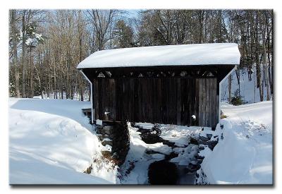
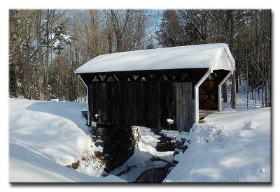
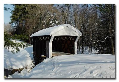
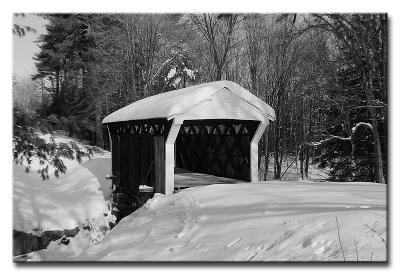
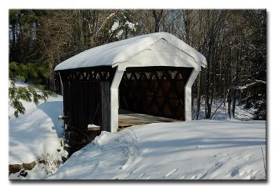
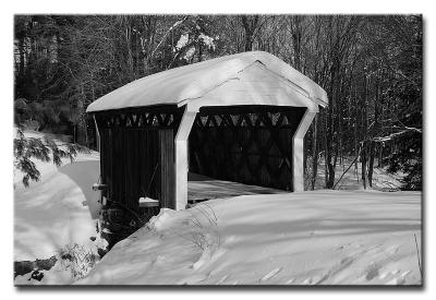
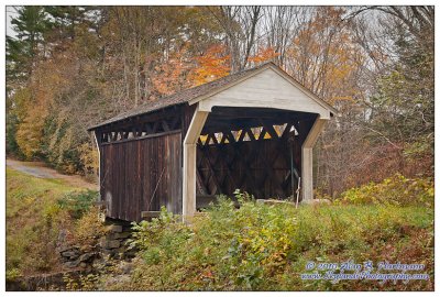
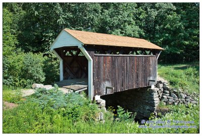
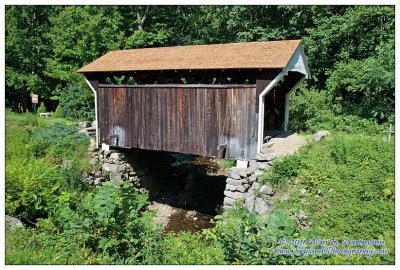
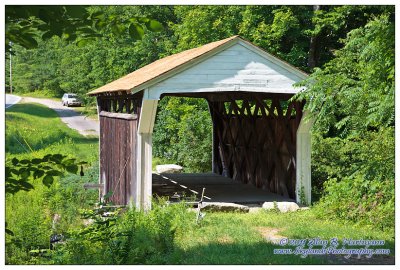
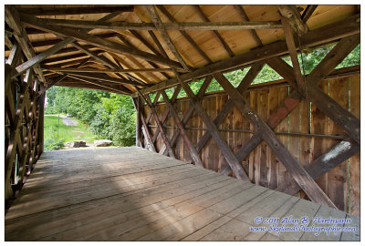
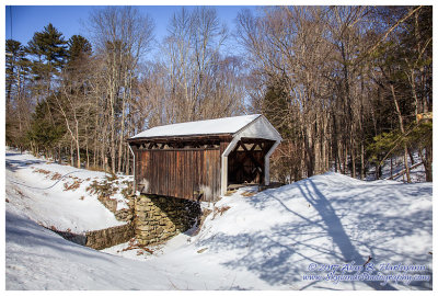
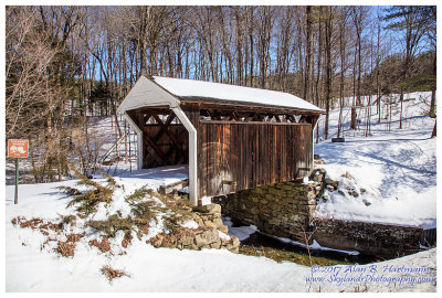
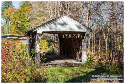
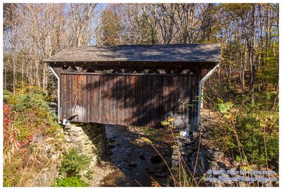
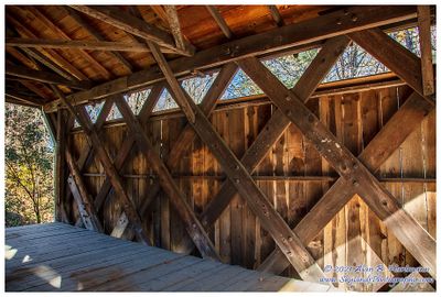
| Alan Hartmann | profile | all galleries >> Covered Bridges >> Covered Bridges of New Hampshire >> 29-10-07 Sullivan County, Prentiss CB | tree view | thumbnails | slideshow | map |
 CRW_3336L |
 CRW_3337L |
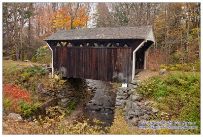
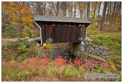
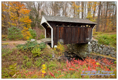
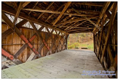
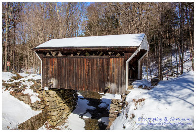
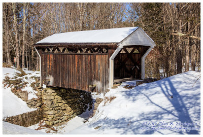
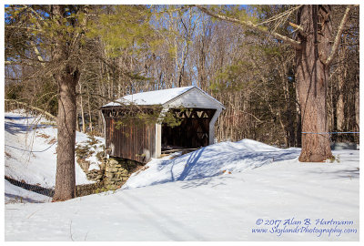
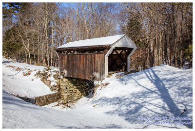
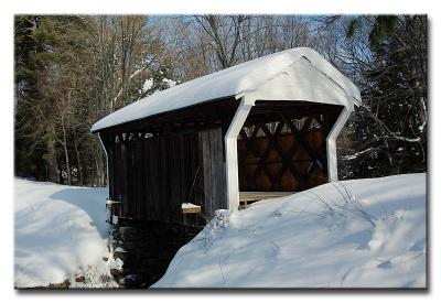 #13349 -- Prentiss Bridge 1791 (NH #19) |
 CRW_3350L |
 CRW_3350L |
 CRW_3355L |
 CRW_3355L |
 IMG_3440.jpg |
 IMG_3445.jpg |
 IMG_3450.jpg |
 IMG_3453.jpg |
 IMG_3456.jpg |
 IMG_3460.jpg |
 IMG_8128.jpg |
 IMG_8135.jpg |
 IMG_8137.jpg |
 IMG_8143.jpg |
 IMG_8146.jpg |
 IMG_8150.jpg |
 IMG_8154.jpg |
 IMG_8154-BW.jpg |
 SKY06172.jpg |
 SKY06176.jpg |
 SKY06180.jpg |
 SKY06187.jpg |
 SKY06192.jpg |
 SKY06197.jpg |
 SKY06200.jpg |
 SKY30324.jpg |
 SKY30334-HDR.jpg |
 SKY30337-HDR.jpg |
| comment | share |