


|
|
|
|
|
|
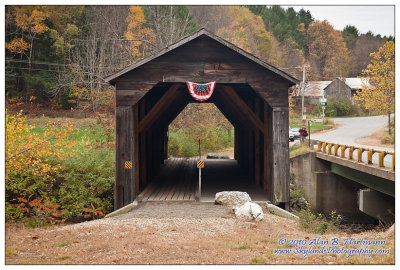
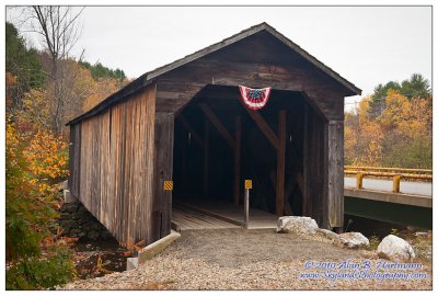
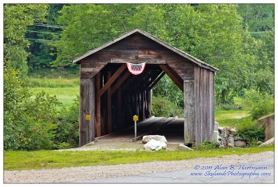
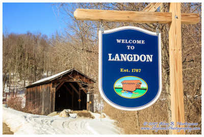
| Alan Hartmann | profile | all galleries >> Covered Bridges >> Covered Bridges of New Hampshire >> 29-10-06 Sullivan County, McDermott CB | tree view | thumbnails | slideshow | map |
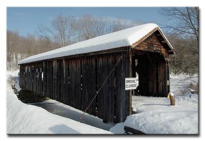
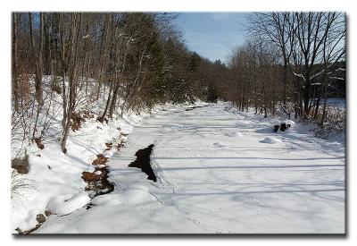 CRW_3316L |
 CRW_3316L |
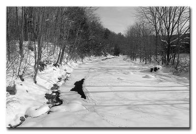
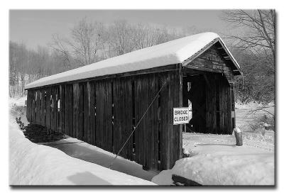
 CRW_3322L |
 CRW_3322L |
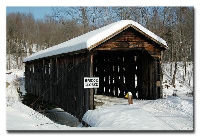
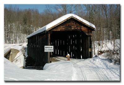
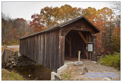
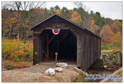
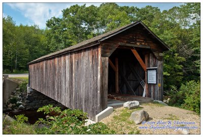
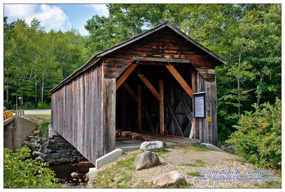
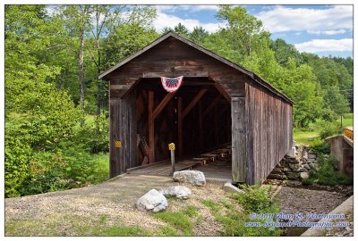
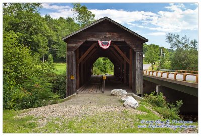
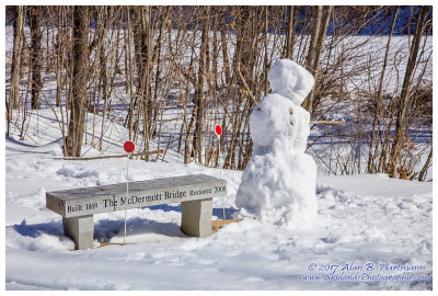
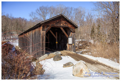
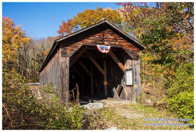
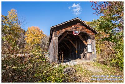
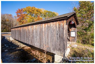
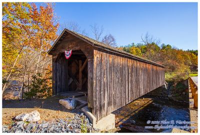
 #13325 -- McDermott Bridge 1869 (NH #18) |
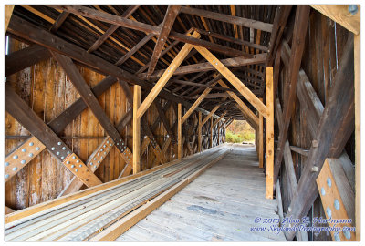
 CRW_3325L |
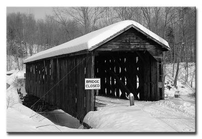
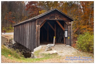
 CRW_3326L |
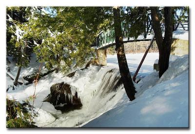 CRW_3329L Falls in Langdon |
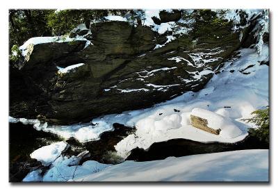 CRW_3332L Falls in Langdon |
 IMG_3406.jpg |
 IMG_3412.jpg |
 IMG_3418.jpg |
 IMG_3425.jpg |
 IMG_3428.jpg |
 IMG_3436.jpg |
 IMG_8160.jpg |
 IMG_8173.jpg |
 IMG_8180.jpg |
 IMG_8184.jpg |
 IMG_8188.jpg |
 IMG_8190.jpg |
 IMG_8195.jpg |
 SKY06203.jpg |
 SKY06207.jpg |
 SKY06211.jpg |
 SKY06228.jpg |
 SKY30341.jpg |
 SKY30350.jpg |
 SKY30351.jpg |
 SKY30353-HDR.jpg |
| comment | share |