


|
|
|
|
|
|
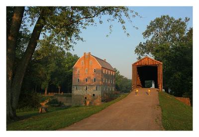
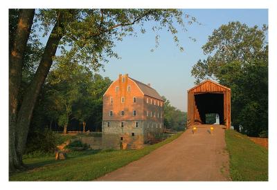
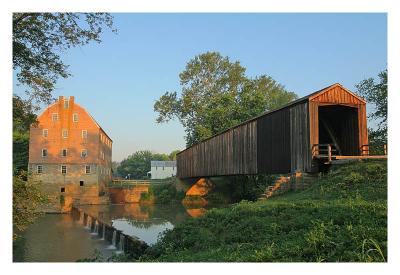
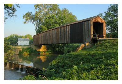
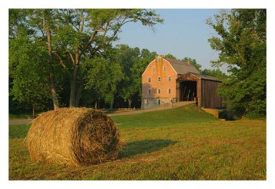
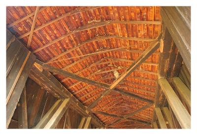
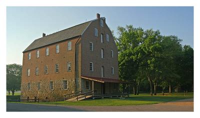
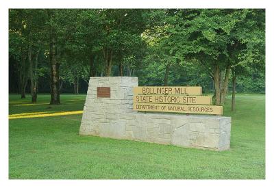
| Alan Hartmann | profile | all galleries >> Covered Bridges >> Covered Bridges of Missouri >> 25-16-01 Bollinger Mill (Burfordville) Covered Bridge | tree view | thumbnails | slideshow | map |
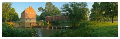 Panorama 1540-1548 |
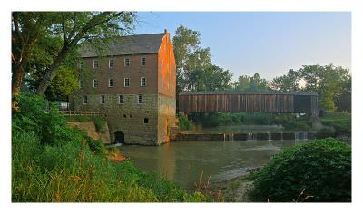 IMG_1519 |
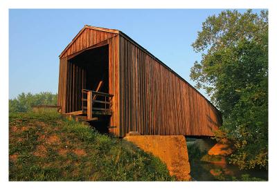
 IMG_1523 |
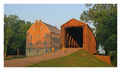
 IMG_1525 |
 IMG_1527 |
 IMG_1528 |
 IMG_1529 |
 IMG_1531 |
 IMG_1556 |
 IMG_1558- |
 IMG_1567 |
 IMG_1569 |
 IMG_1574 |
| comment | share |
| Guest | 19-Jul-2005 01:39 | |