


|
|
|
|
|
|
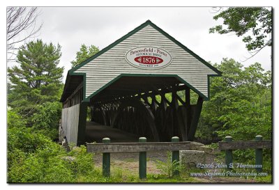
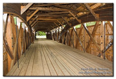
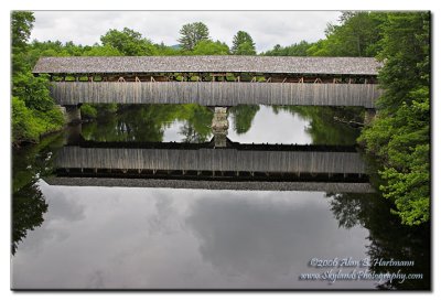
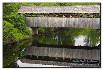
| Alan Hartmann | profile | all galleries >> Covered Bridges >> Covered Bridges of Maine >> 19-09-05 Oxford County, Porter / Parsonfield Covered Bridge | tree view | thumbnails | slideshow | map |
 IA7X6824 |
 IA7X6827 |
 IA7X6834 |
 IA7X6835 |
 IA7X6836 |
 IA7X6838 |
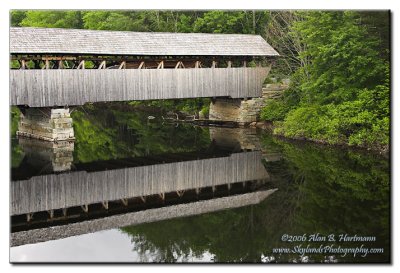 IA7X6864 |
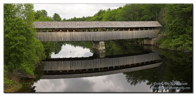 IA7X6875-IA7X6882 |
| comment | share |