


|
|
|
|
|
|
| ravenoaks | profile | all galleries >> Galleries >> GRAND, ZION, BRYCE, CANYONLAND AND ARCHES. CANYONS ROCK!!!! PART I THE GRAND | tree view | thumbnails | slideshow |
| previous page | pages 1 2 3 4 5 6 7 8 ALL | next page |
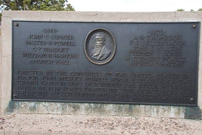 THIS PLAQUE IS DEDICATED TO JOHN WESTLEY POWELL, THE FIRST EXPLORER TO MAP THE GRAND CANYON IN DETAIL |
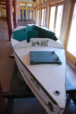 THIS IS A MODEL OF THE TYPE OF BOATS USED BY THE FIRST PERSONS TO RUN THE RAPIDS OF THE GRAND CANYON |
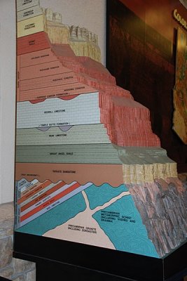 THE MANY LAYERS OF THE SIDES OF THE GRAND CANYON IN THE VISITOR CENTER-THEY TELL THE STORY OF HOW THE ROCKS GOT THERE. |
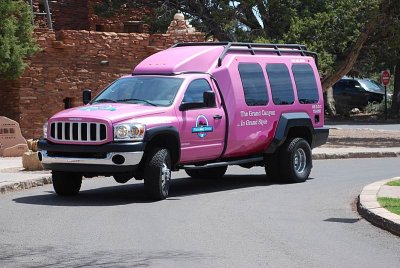 THERE ARE MANY WAYS TO EXPLORE GRAND CANYON NATIONAL PARK, BY SMALL BUS... |
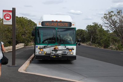 OR BY THE PARK'S EFFICIENT SHUTTLE SYSTEM... |
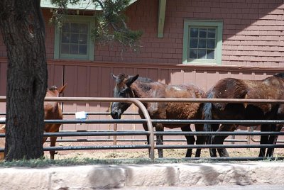 OR EVEN ON THE BACK OF A DONKEY... |
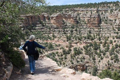 BUT IF YOU PLAN TO WALK DOWN THIS TRAIL WHERE SARA IS STANDING... |
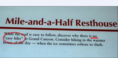 BE WARNED....THERE ARE NO EASY HIKES IN THE GRAND CANYON PARK!!!!!! |
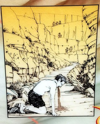 IF YOU ARE STUPID ENOUGH TO WALK DOWN TOO FAR FROM THE RIM WHEN NOT IN SHAPE YOU WILL GET LITTLE HELP FROM PARK SERVICE |
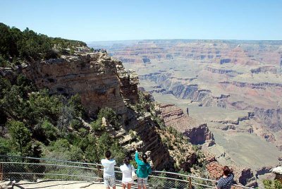 WE LIMITED OUR HIKES MOSTLY TO THE RIM AND STILL WERE AWE STRUCK BY THE CANYON |
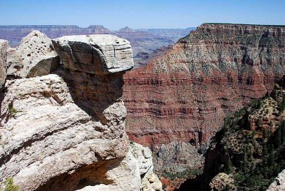 THE ROCK FORMATIONS NEAR THE RIM WERE INCREDIBLE... |
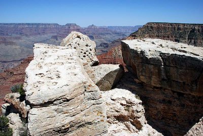 NOTICE THE EVIDENCE OF WATER EROSION ON ROCKS AT THE VERY TOP OF THE RIM |
| previous page | pages 1 2 3 4 5 6 7 8 ALL | next page |
| comment | share |
| apakprearge | 23-Apr-2013 02:20 | |