Type your message and click Add Comment
It is best to
login
or
register
first but you may post as a guest.
Enter an optional name and contact email address.
Name
Name
Email
help
private comment
Nikola Gruev |
profile
|
all galleries
>>
Bulgaria
>>
Bulgarian roads and road maps
>> The road to Zlatograd
tree view
| thumbnails |
slideshow
Road maps of Bulgaria
|
The road to Maliovitsa
|
A2 Highway (Sofia - Varna)
|
E772 - Sofia - Veliko Tarnovo - Varna
|
National road #37 (Zlatichki prohod)
|
National road #86 (Plovdiv - Asenovgrad - Smolian)
|
National road #1 or international #E79 [Sofia - Vratsa - Montana - Vidin (to the north)]
|
National road #1 or international #E79 [Sofia - Dupnitsa - Blagoevgrad - Sandanski - Kulata (to the south)]
|
National road #1 or International road #E79 Pernik - Dupnitsa (The new Struma freeway)
|
The road to Zlatograd
|
The road to Yagodinska cave
|
The road to Trigrad (Satan's Throat Cave)
|
The road between Techel and Dospat
|
Momtchilovtsi's panoramic road
|
National road #5 or International E85 (Russe - Kurdjali)
|
National road #6 (Sofia - Burgas)
|
Rural road
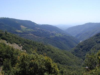
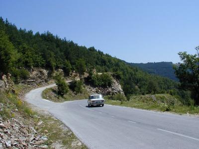
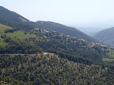
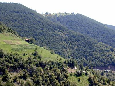
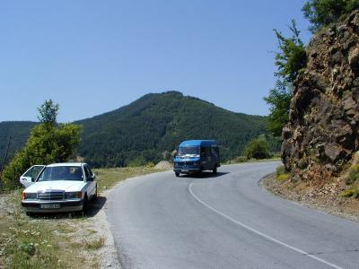
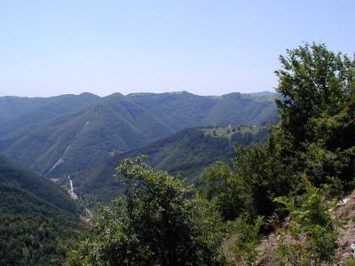
The road to Zlatograd
The pictures have been taken on the road between Madan and Zlatograd. To see the road map, please click the link -->[
https://pbase.com/ngruev/image/75189110/original
P7091668.JPG
P7091671.JPG
P7091674.JPG
P7091675.JPG
P7091676.JPG
P7091677.JPG
comment
|
share
Type your message and click Add Comment
It is best to
login
or
register
first but you may post as a guest.
Enter an optional name and contact email address.
Name
Name
Email
help
private comment
Type your message and click Add Comment
It is best to
login
or
register
first but you may post as a guest.
Enter an optional name and contact email address.
Name
Name
Email
help
private comment
click on thumbnails for full image