


|
|
|
|
|
|
| Brian McMorrow | profile | all galleries >> Aviation >> Aerial Photos >> Aerials South Pacific | tree view | thumbnails | slideshow |
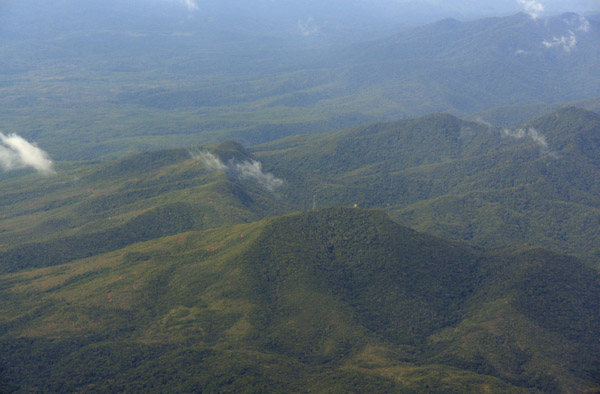
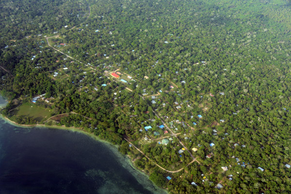
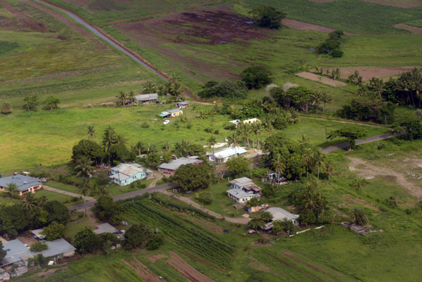
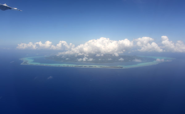
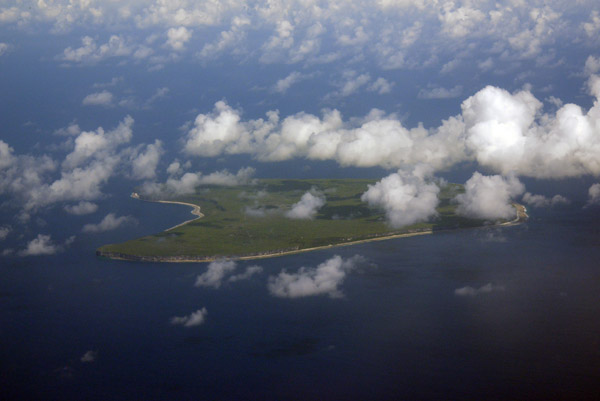
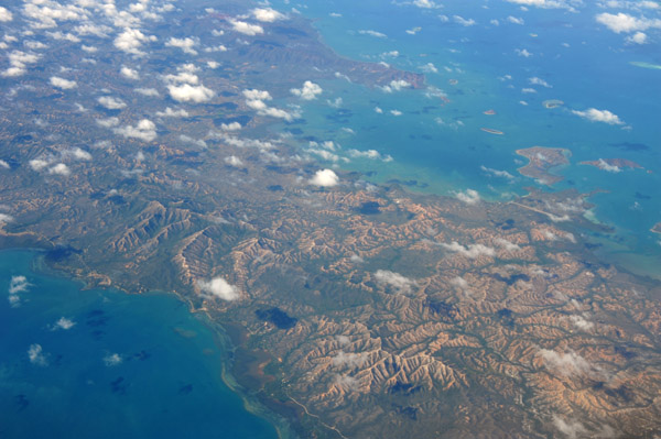
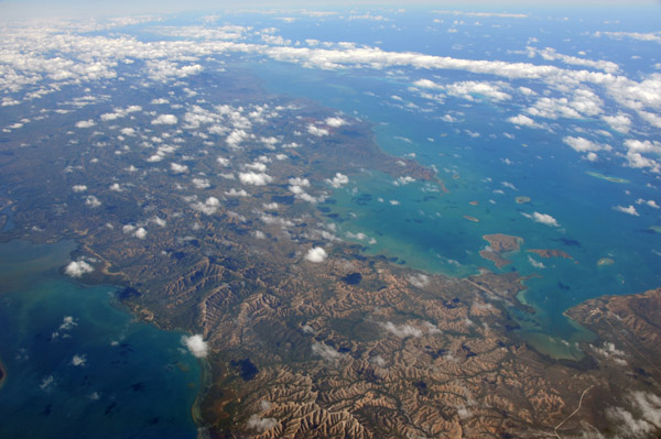
 Malekula, Vanuatu |
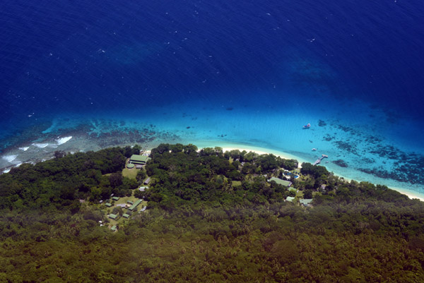
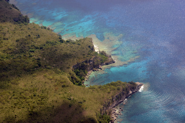
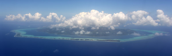
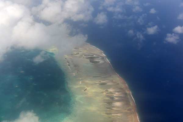
 Malekula, Vanuatu |
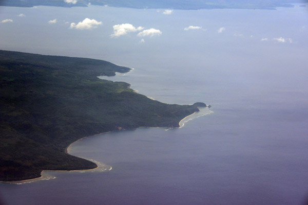
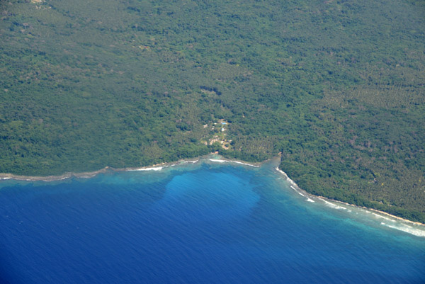
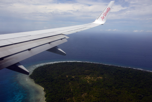
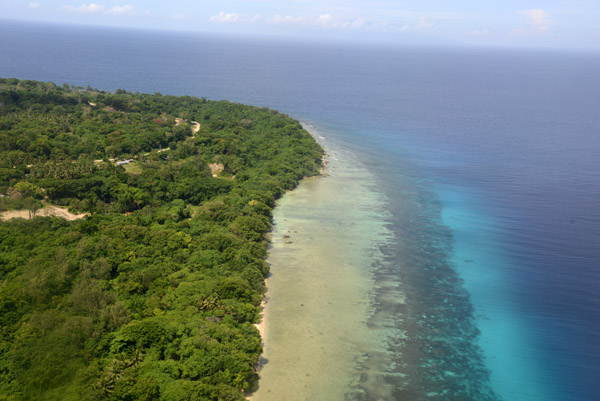
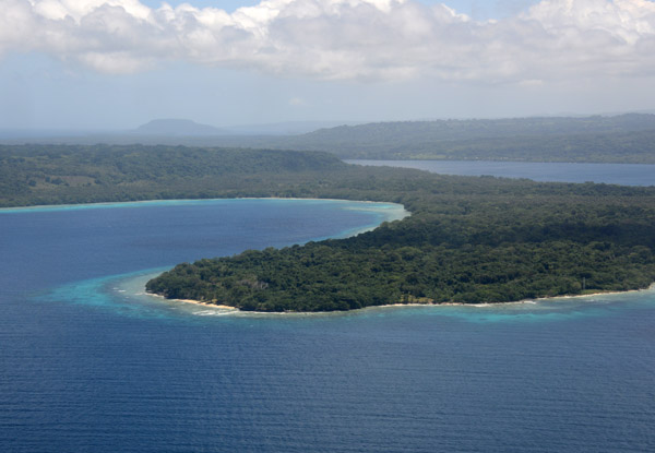
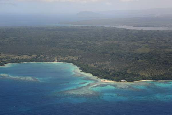
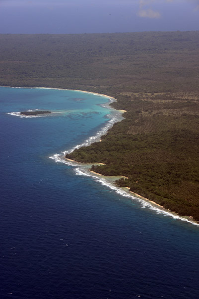
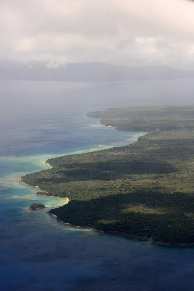
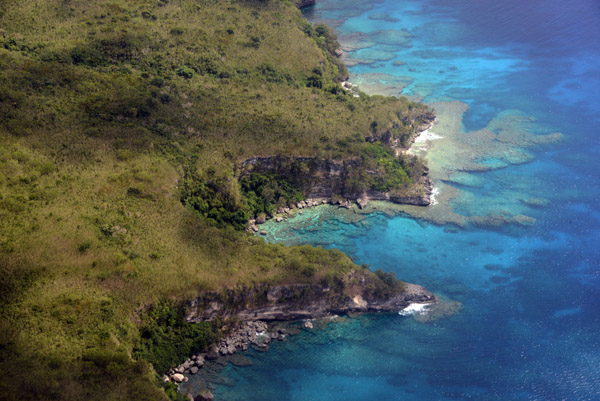
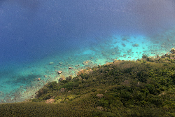
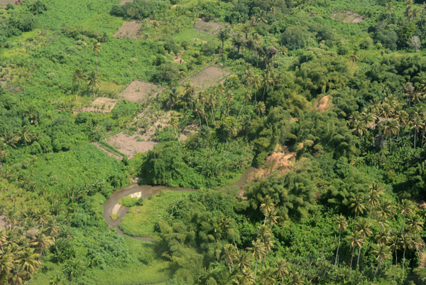
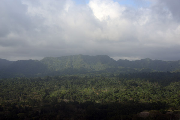
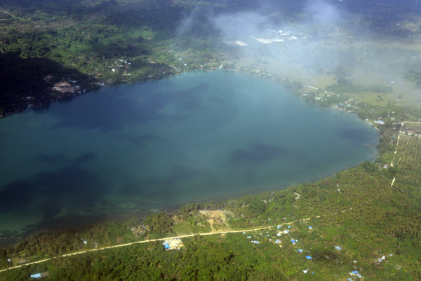
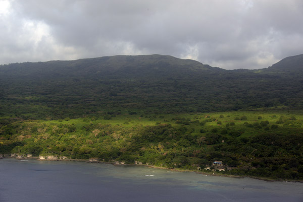
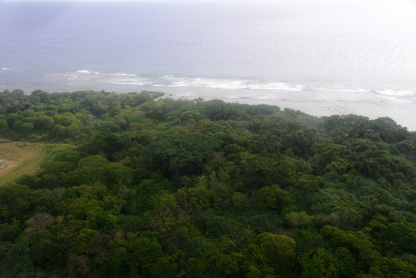
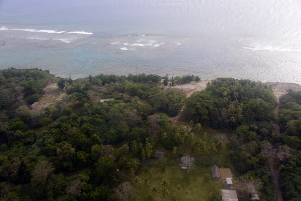
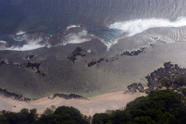
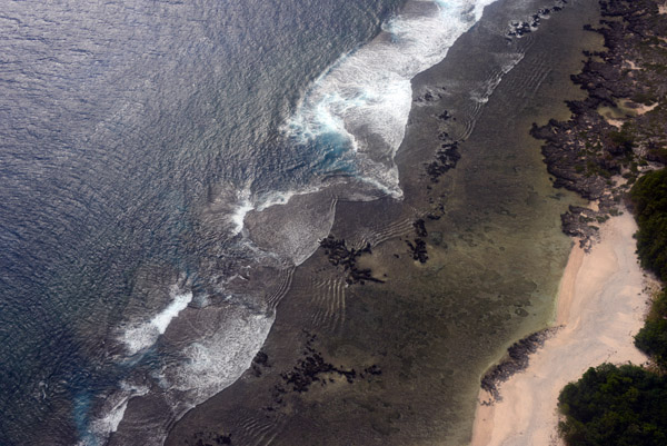
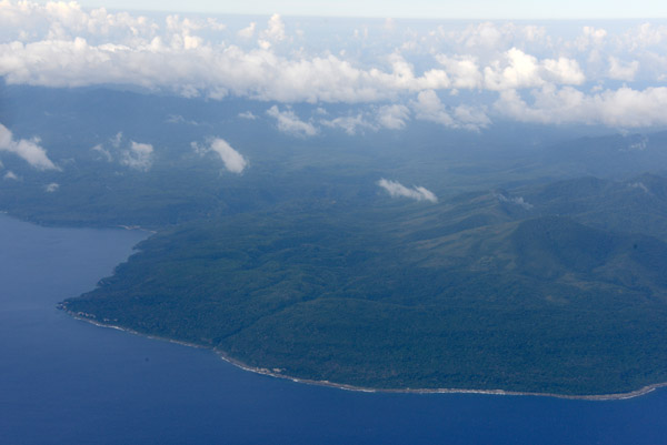
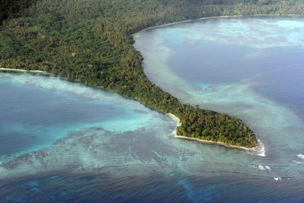
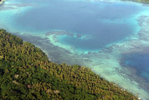
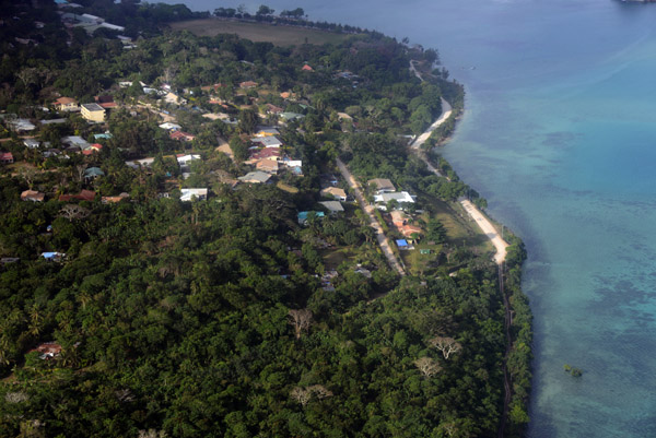
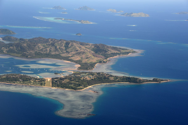
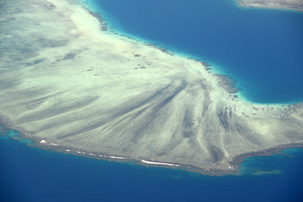
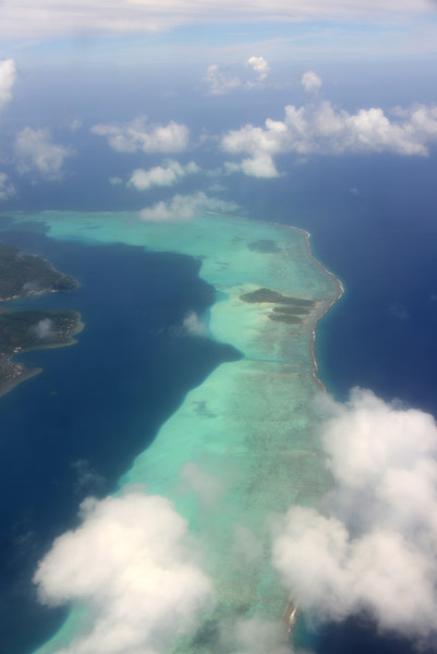
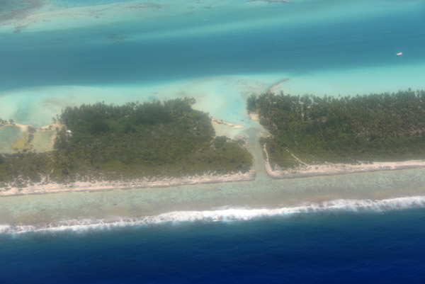
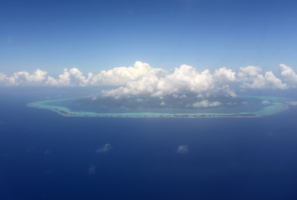
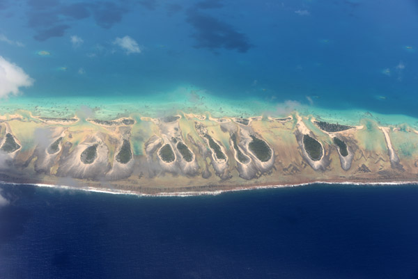
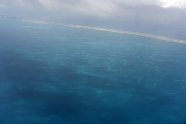
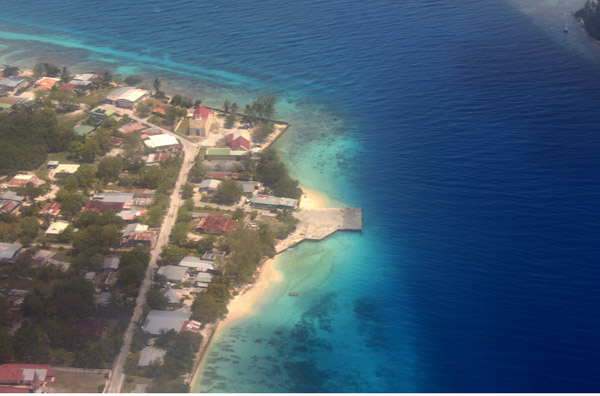
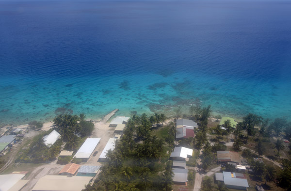
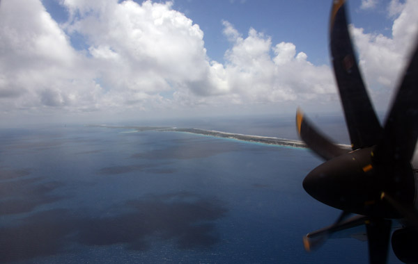
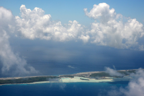
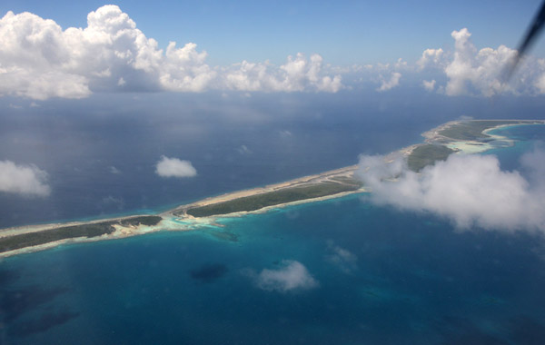
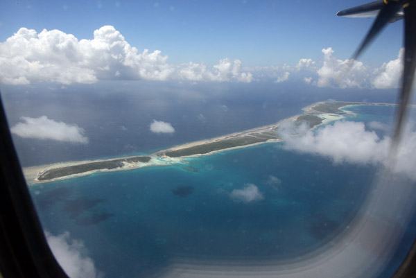
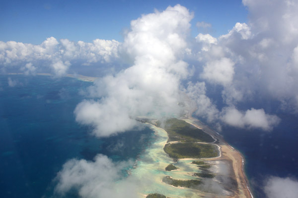
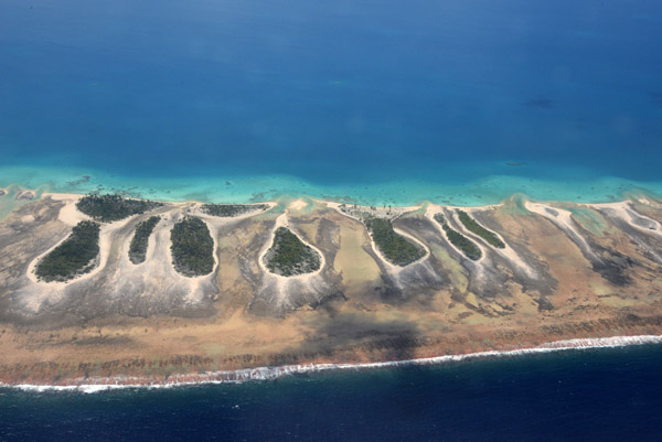
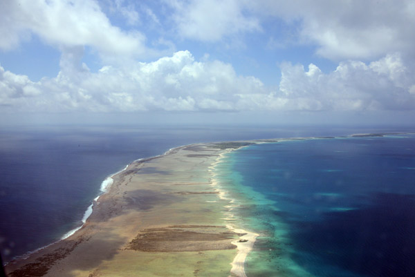
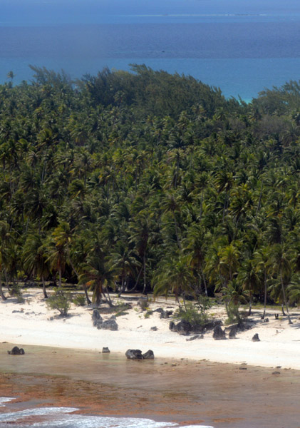
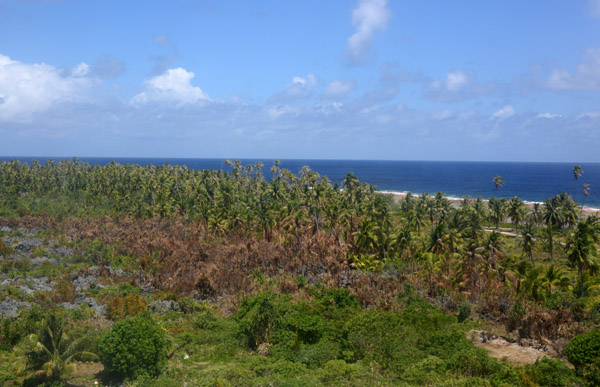
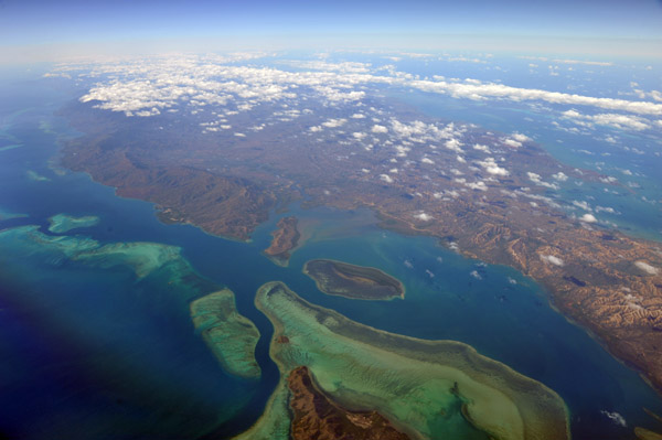
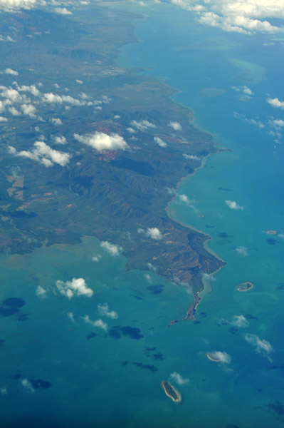
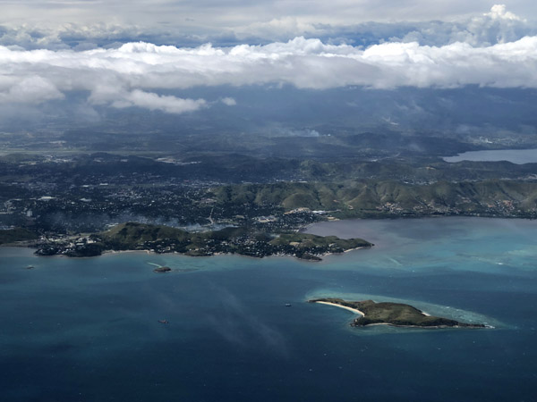
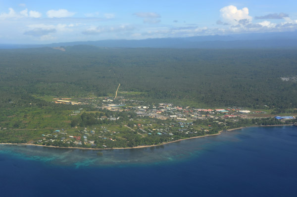
 North coast of Malekula, Vanuatu |
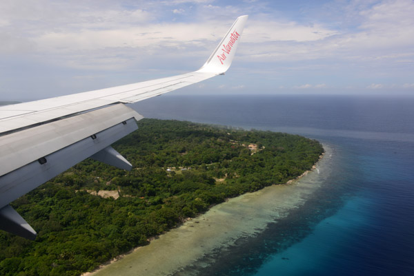
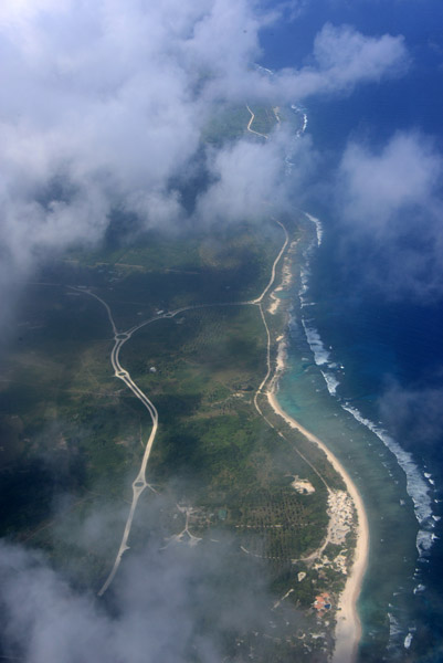
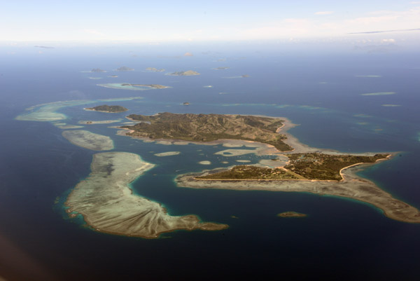
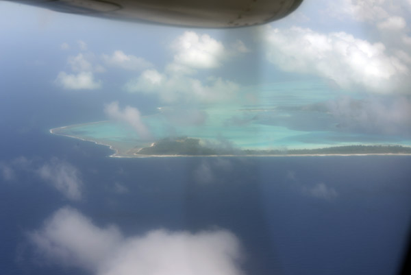
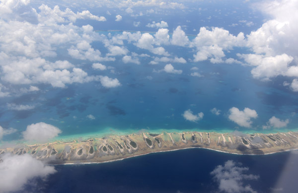
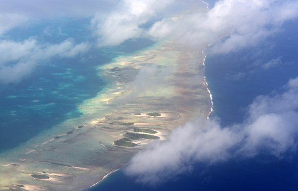
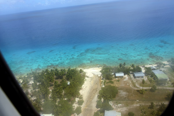
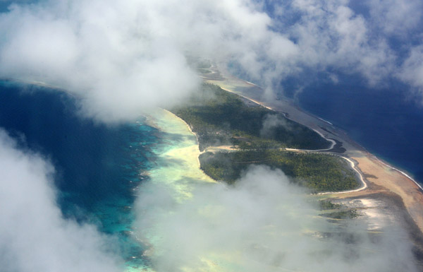
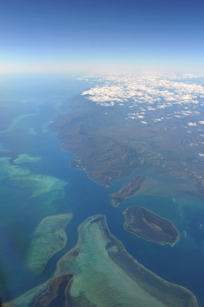
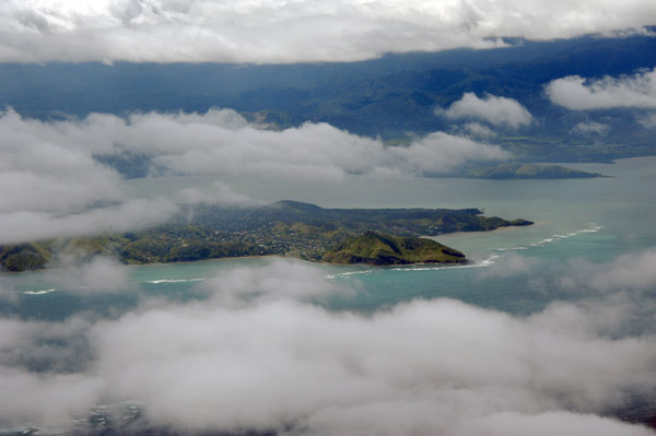
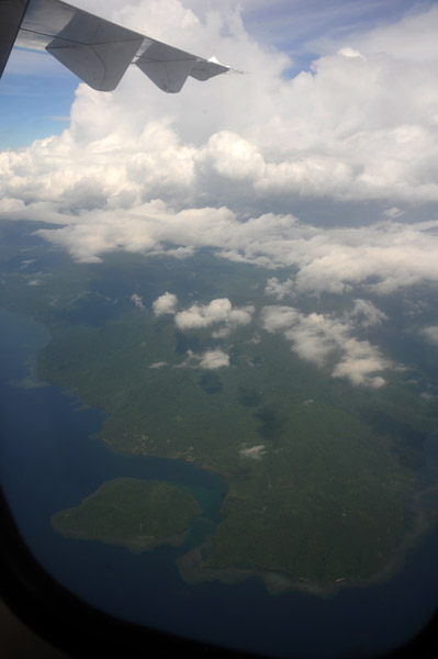
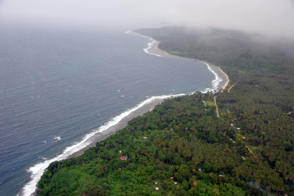
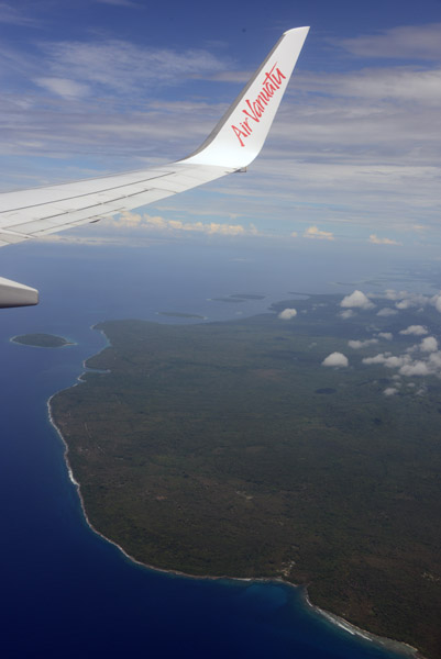 Descent for Santo over northern Malekula |
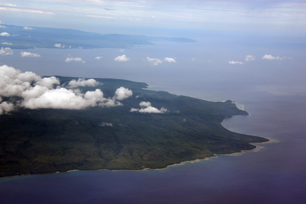
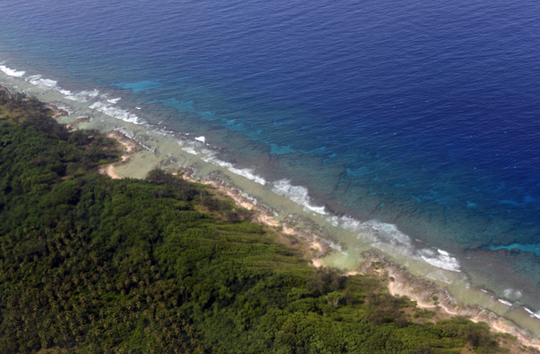
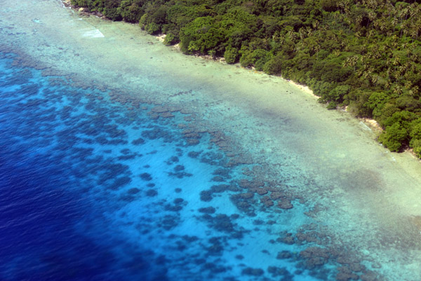
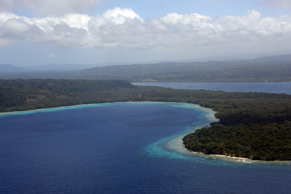
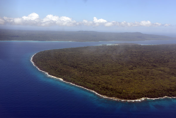
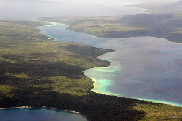
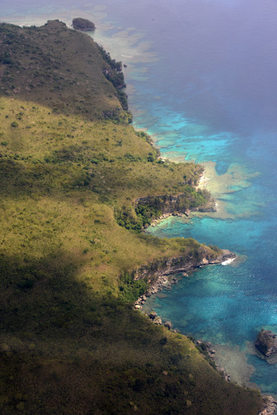
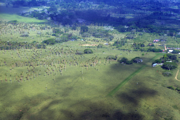
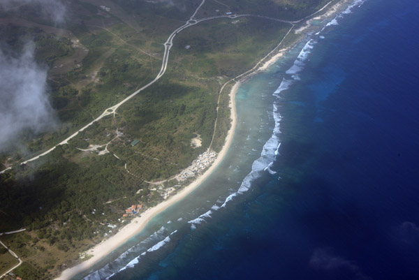
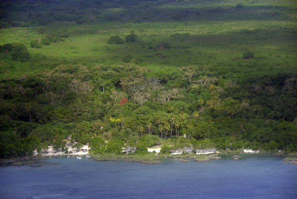
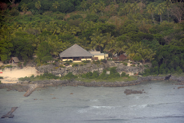
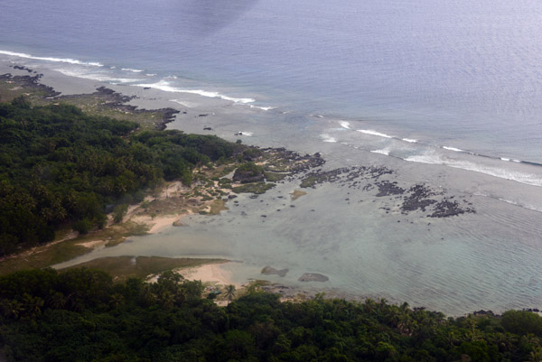
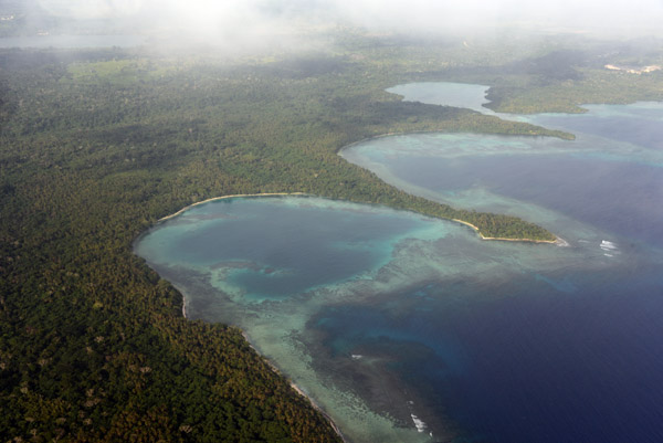
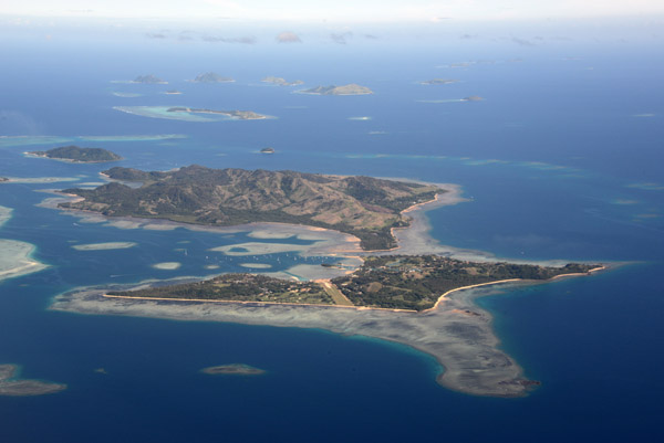
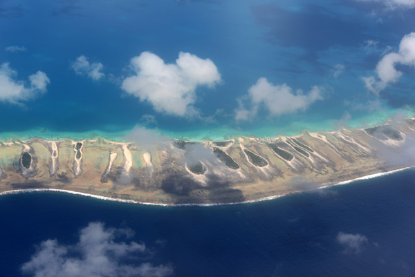
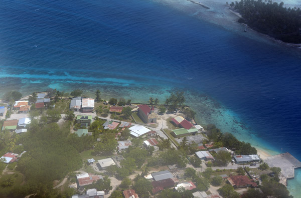
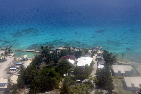
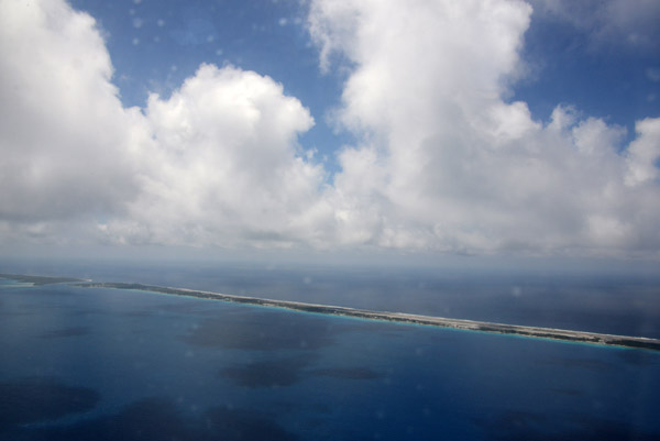
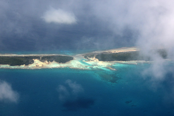
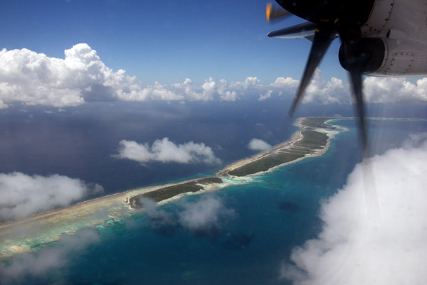
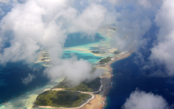
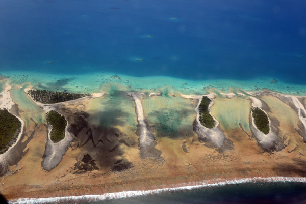
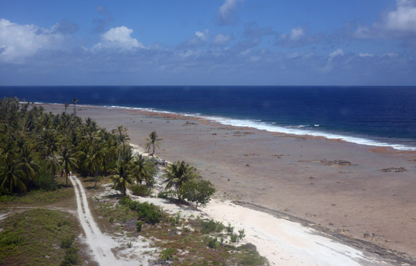
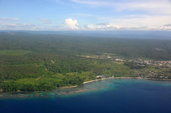
 North coast of Malekula, Vanuatu |
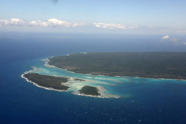
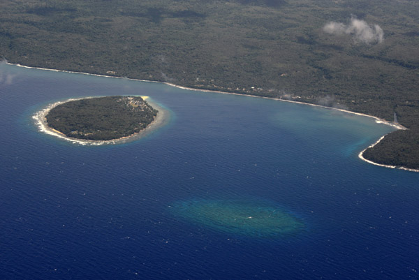
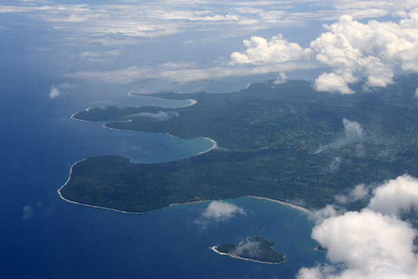
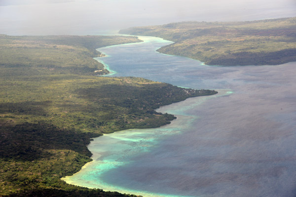
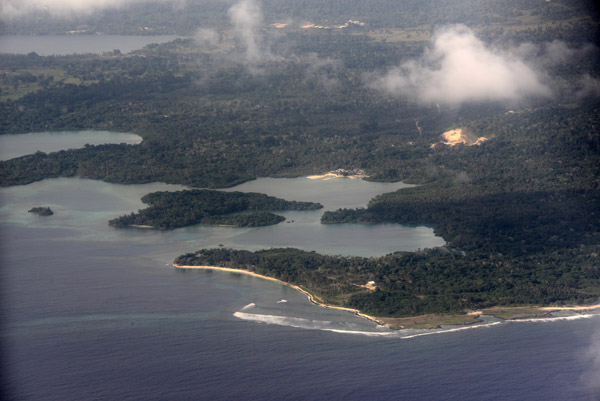
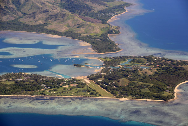
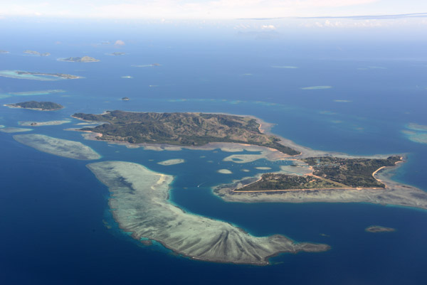
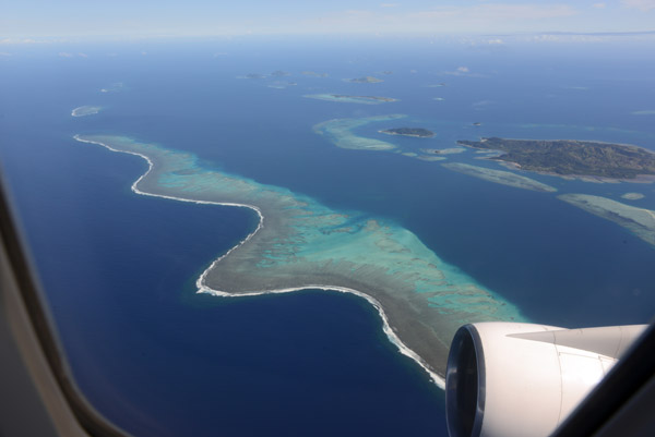
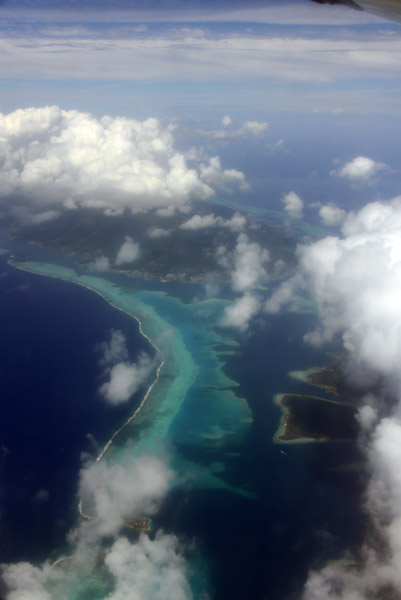
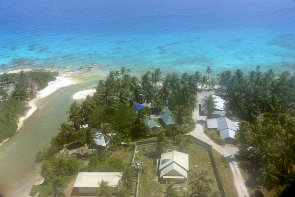
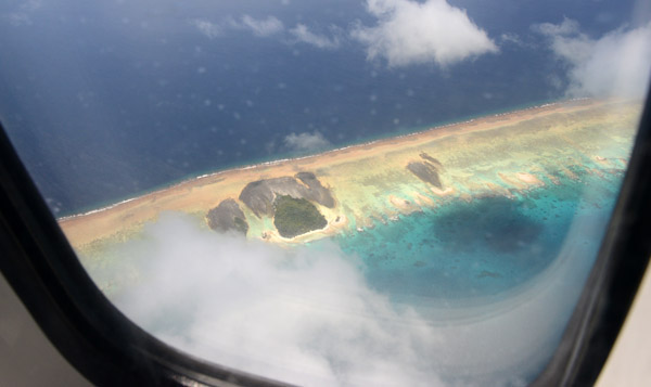
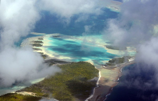
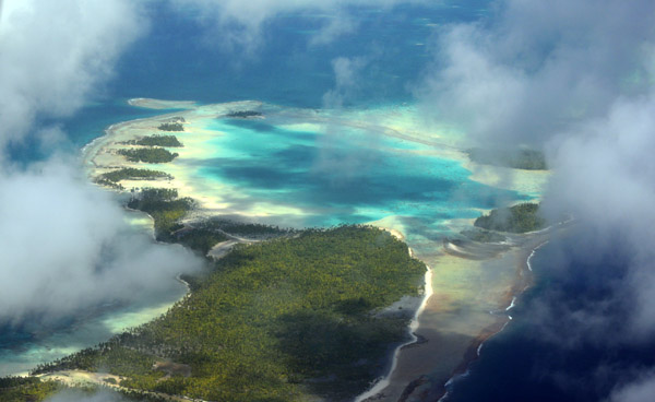
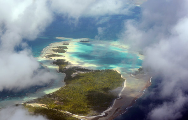
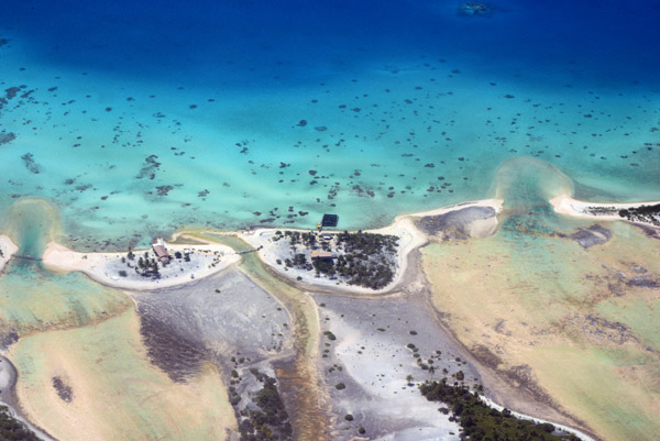
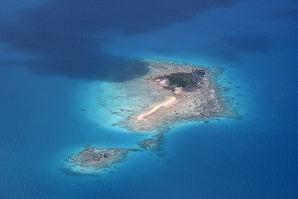
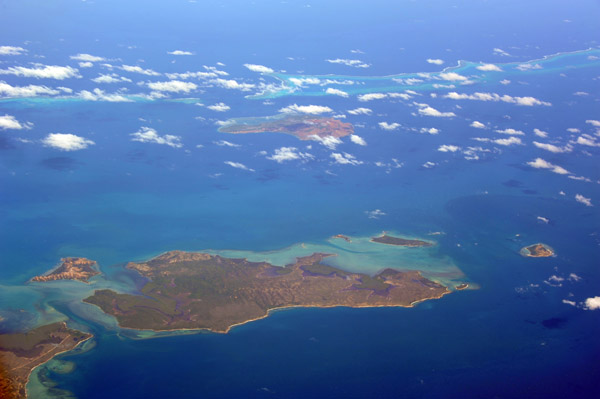
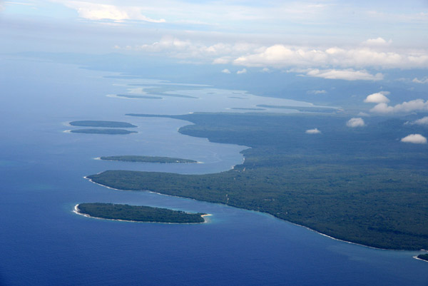 Malekula with the small islands of Vao, Atchin, Wala and Rano |
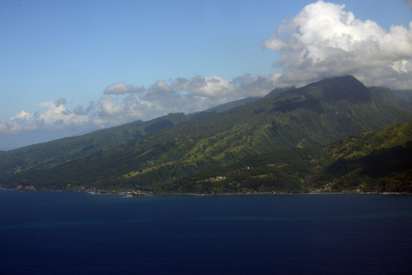
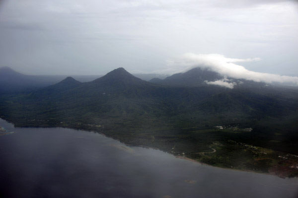
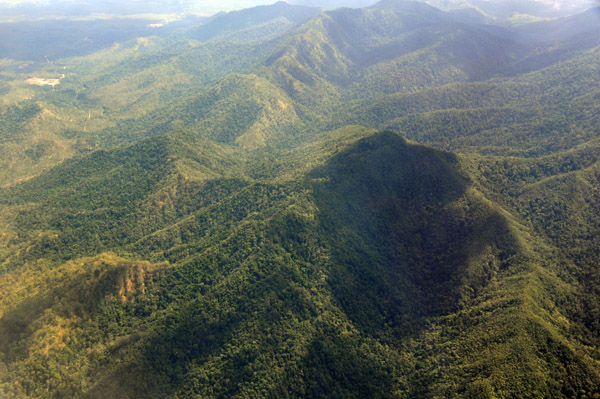
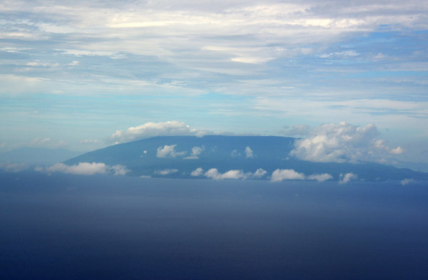 Ambrym, Vanuatu |
 VanuatuOct12 0024.jpg |
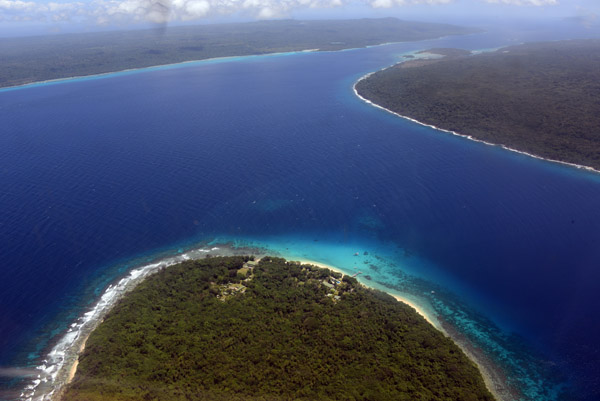
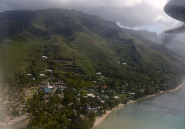
 Tutuba Island, Vanuatu |
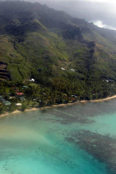
 Northwest coast of Tutuba, Vanuatu |
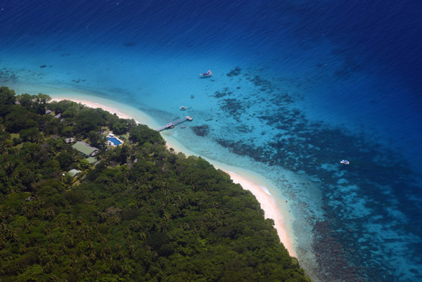
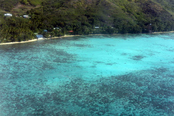
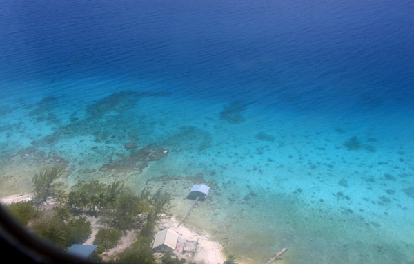
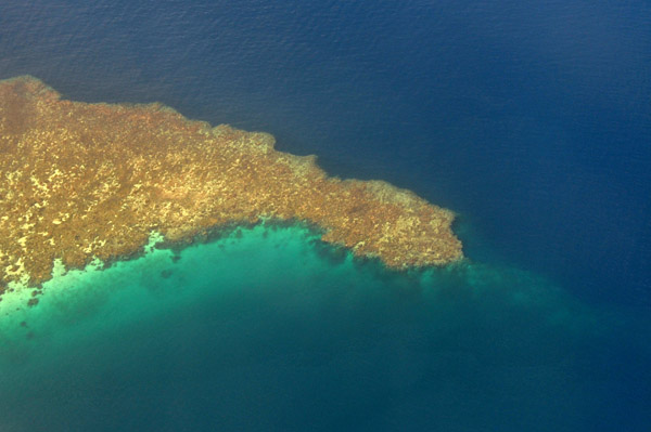
 Amazing blue water off Tutuba, Vanuatu |
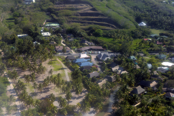
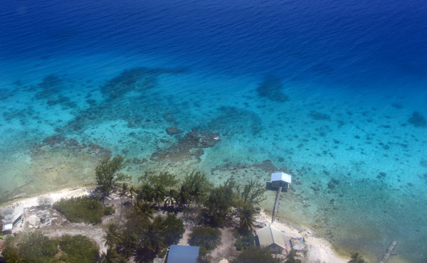
 Tutuba, Vanuatu |
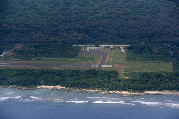
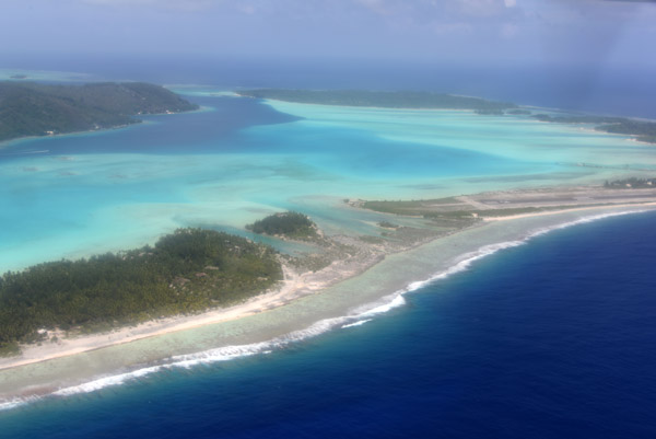
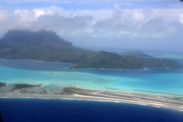
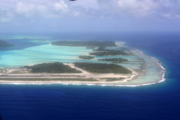
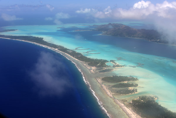
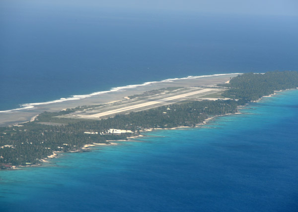
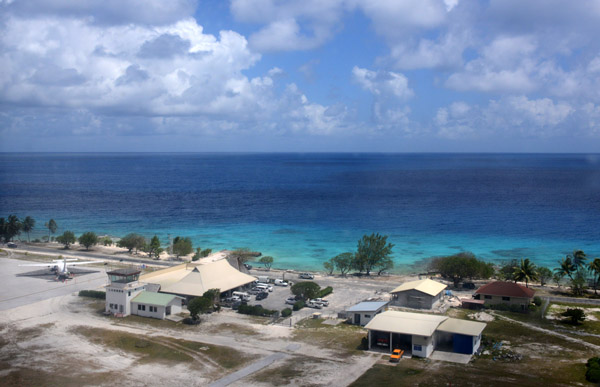
 Final approach to Santo-Pekoa (SON/NVSS) Airport - Espiritu Santo, Vanuatu |
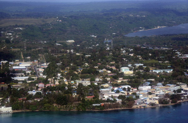
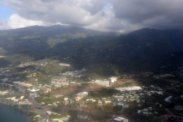
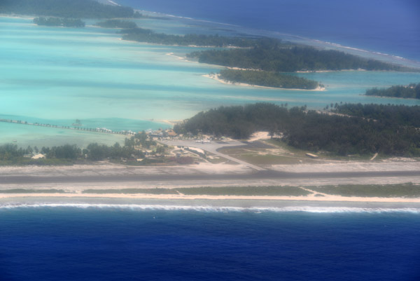
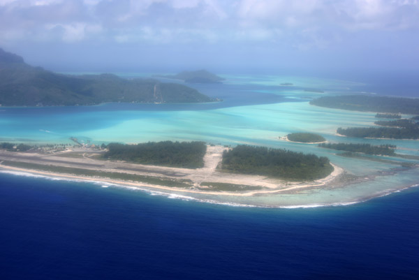
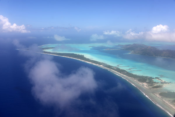
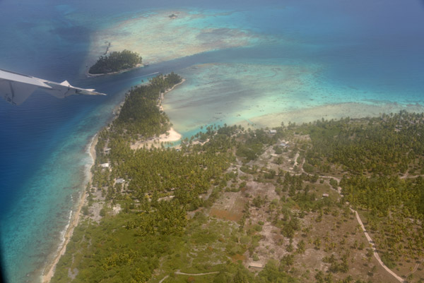
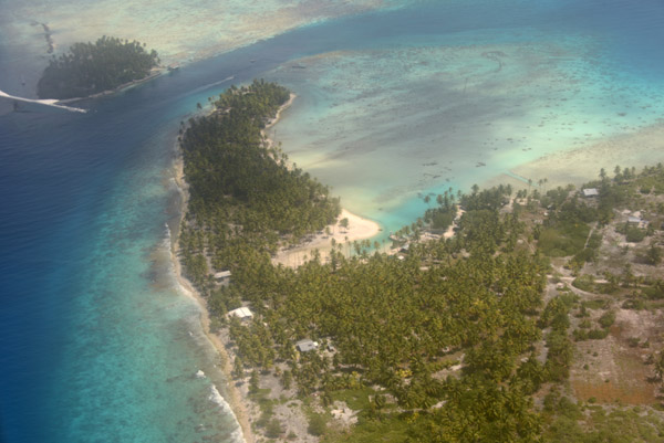
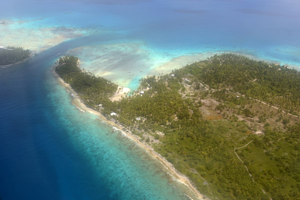
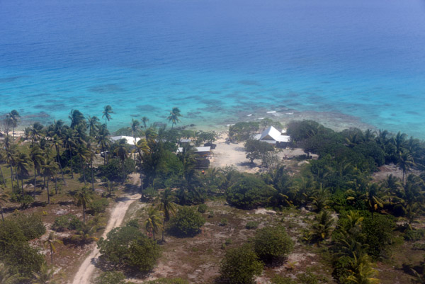
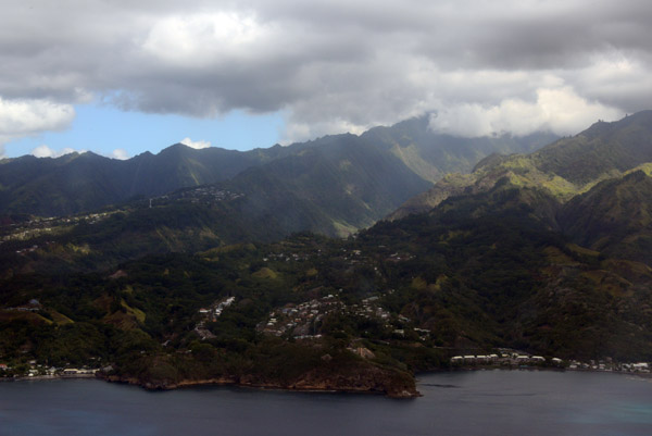
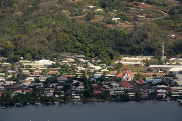
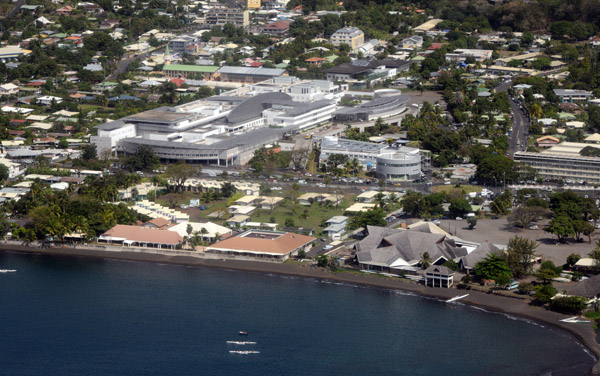
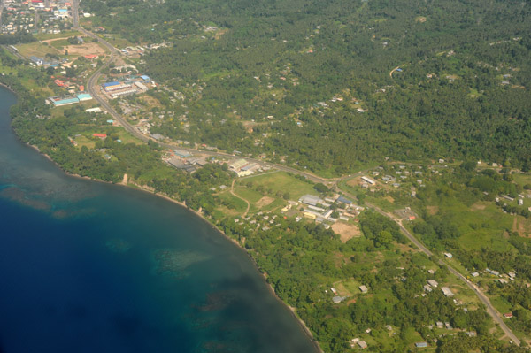
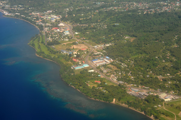
 Espiritu Santo, Vanuatu |
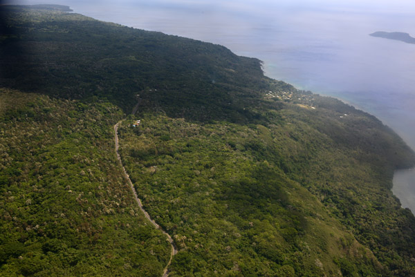
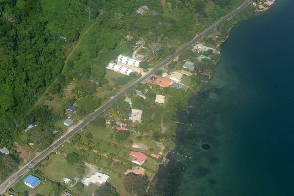
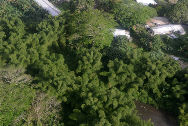
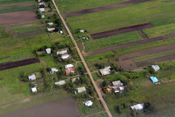
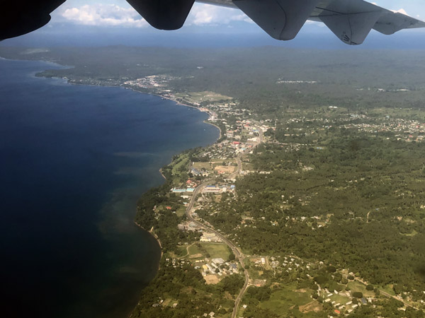
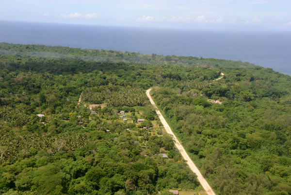 Coastal road of Espiritu Santo, Vanuatu |
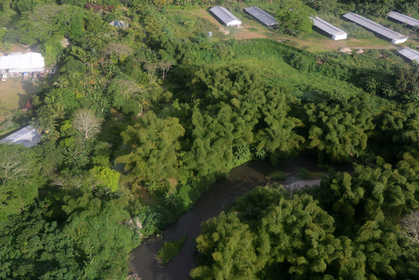
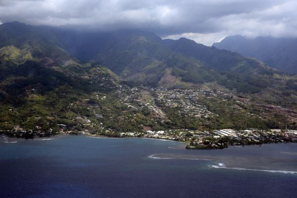
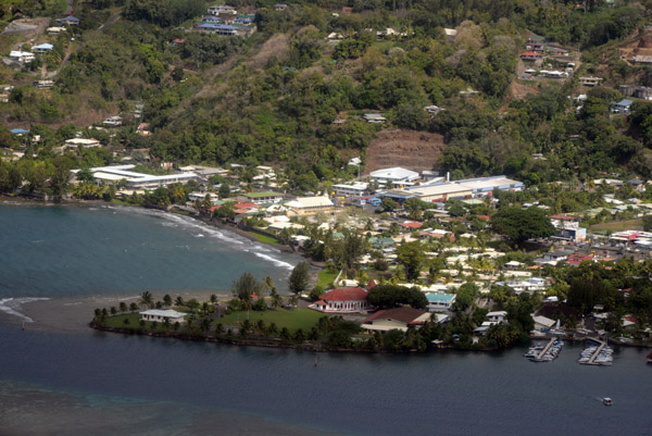
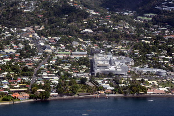
 Espiritu Santo, Vanuatu |
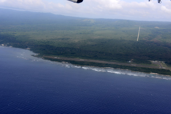
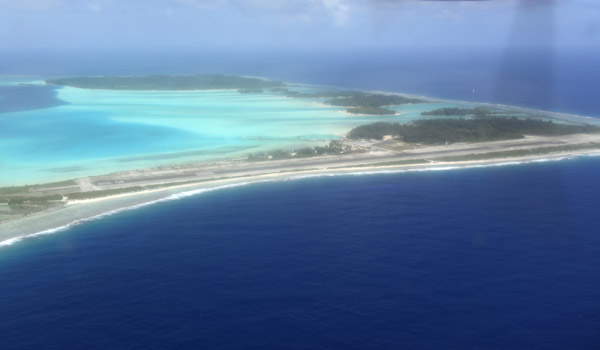
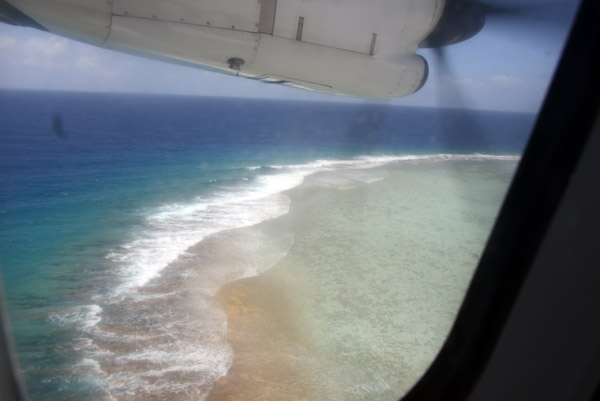
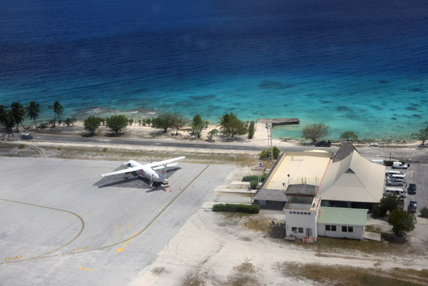
 Airborne from Pekoe Airport, Espiritu Santo-Vanuatu |
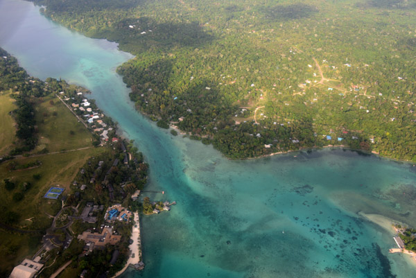
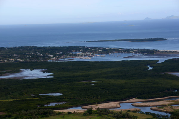
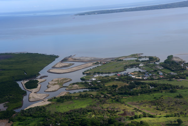
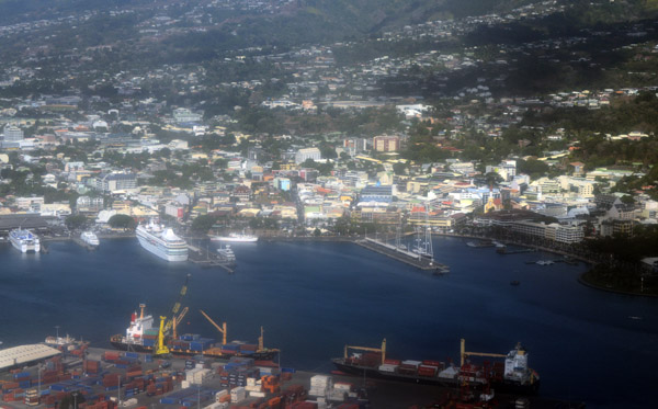
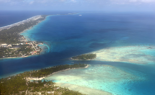
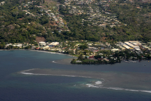
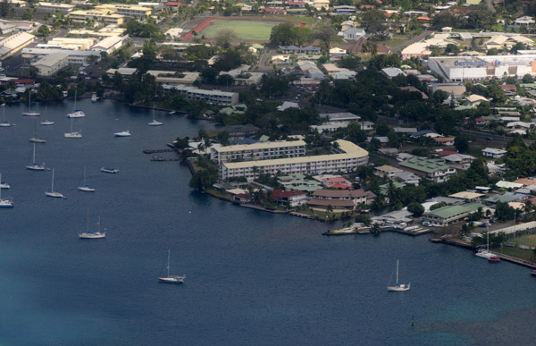
 Luganville Channel with the island of Aore |
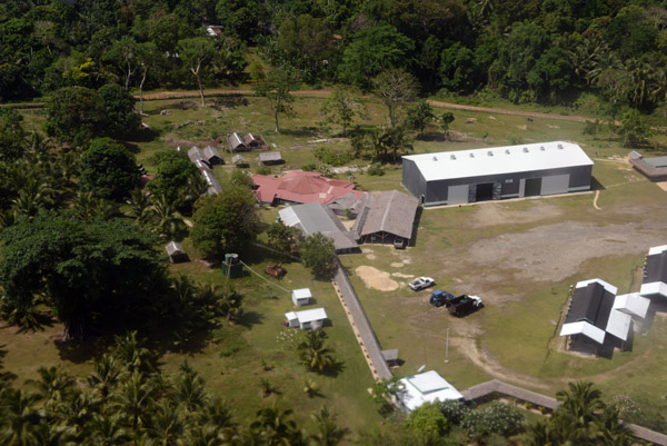
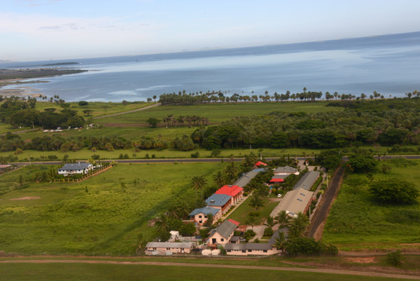
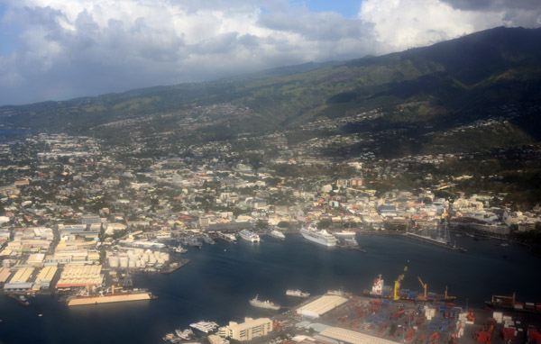
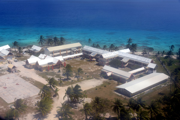
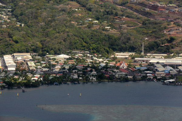
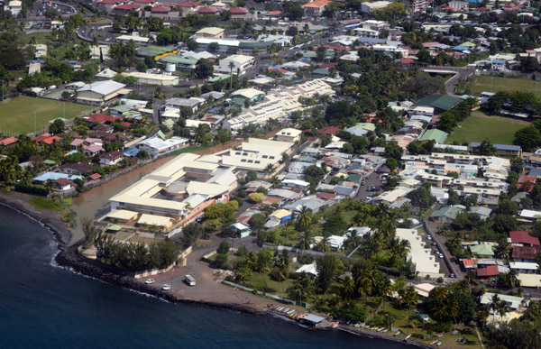
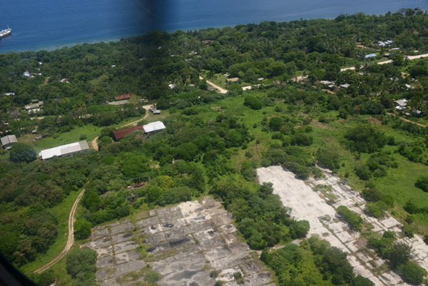 Remains of the World War II American airbase at Luganville |
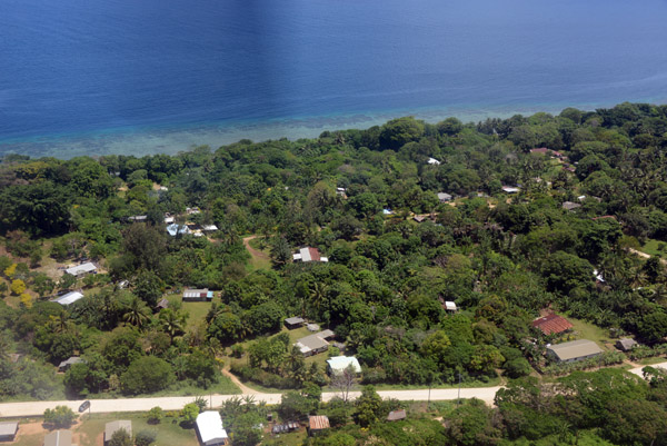 Coastal Road, Espiritu Santo-Vanuatu |
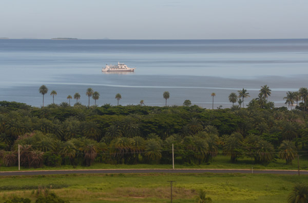
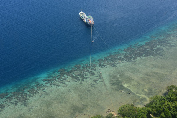 Pacific Gas Tanker moored in the Luganville Channel, Vanuatu |
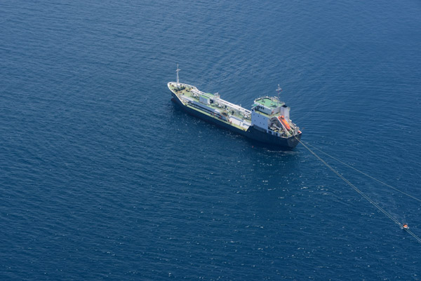 Pacific Gas Tanker moored in the Luganville Channel, Vanuatu |
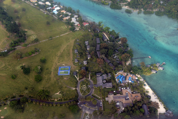
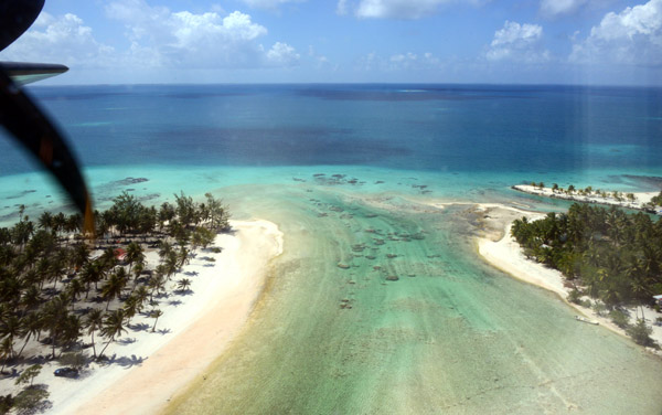
 Aore Island, Vanuatu |
 Aore Island, Vanuatu |
 Aore Island, Vanuatu |
 Aore Island, Vanuatu |
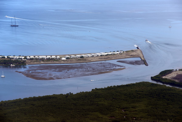
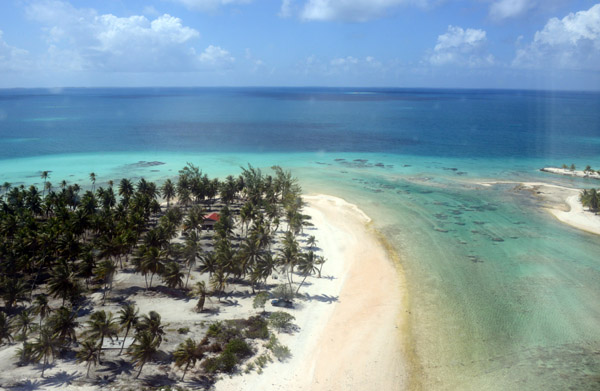
 Mitchell's Beach, Aore Island, Vanuatu |
 Looking across Aore to Malo Island, Vanuatu |
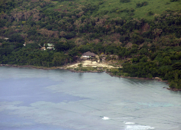
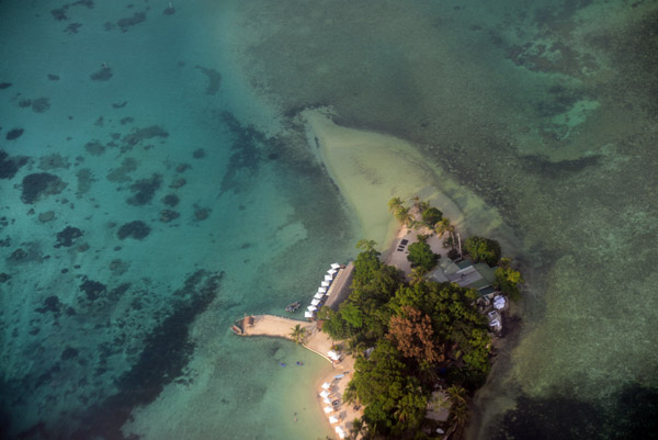
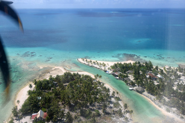
 Bokissa Private Island Resort, Vanuatu |
 Bokissa with Aore and Malo Islands, Vanuatu |
 Bokissa Private Island Resort, Vanuatu |
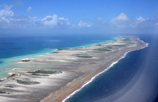
 East coast of Malo, Vanuatu |
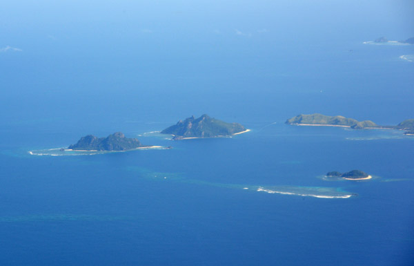
 Small islands off the east coast of Malo, Vanuatu |
 Small islands off the east coast of Malo, Vanuatu |
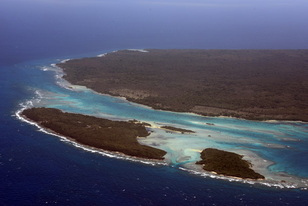
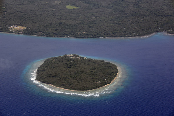
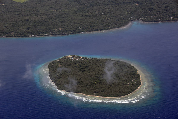
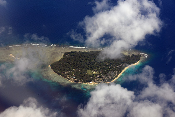
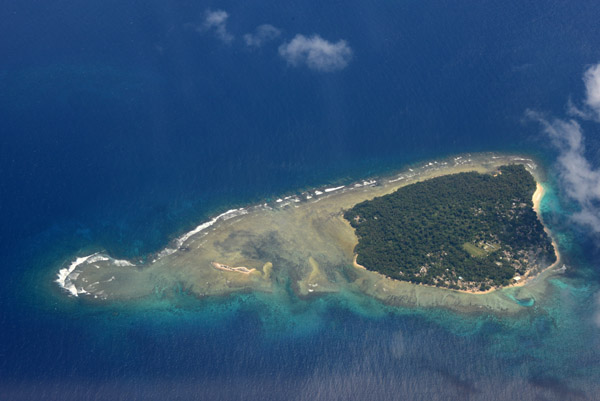
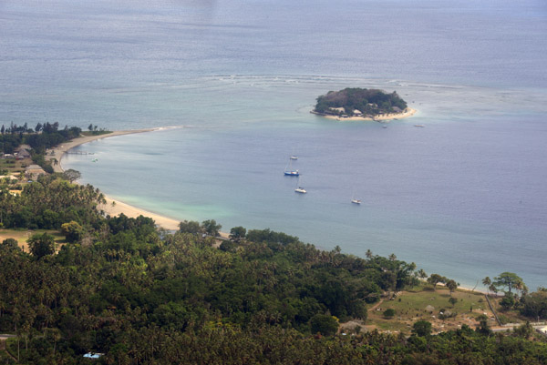
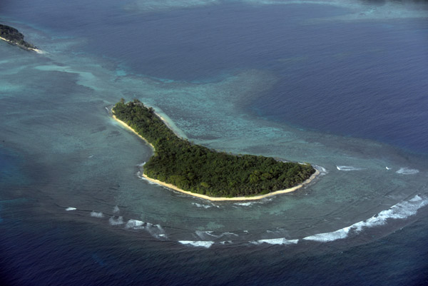
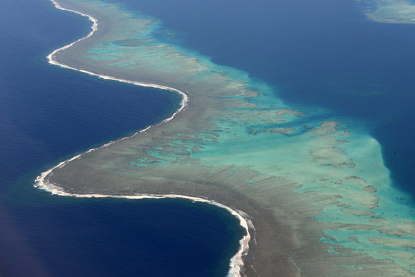
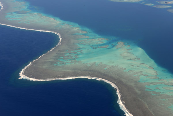
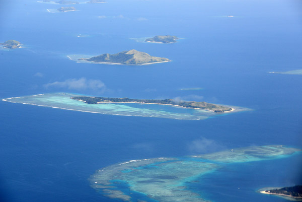
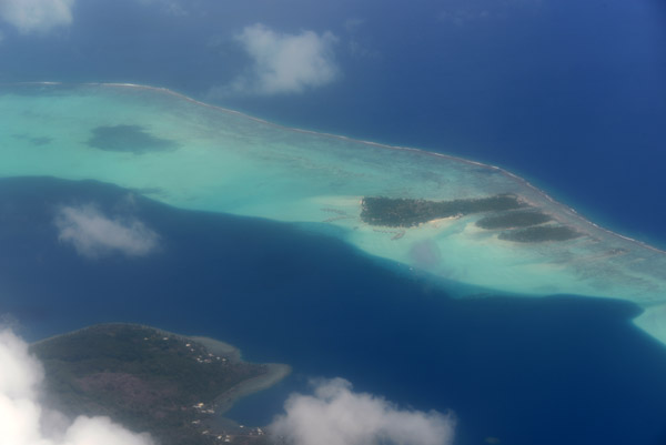
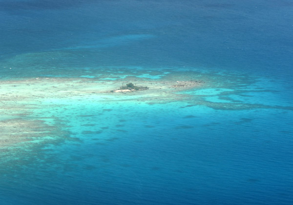
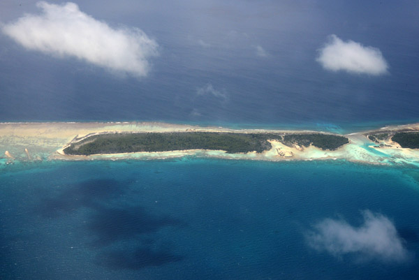
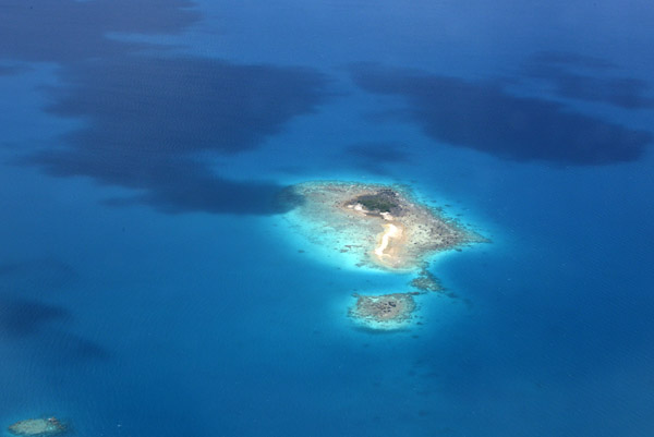
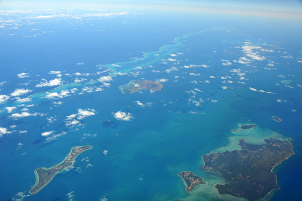
 Wala Island off the coast of Malekula, Vanuatu |
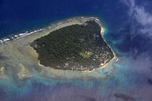
 Wala Island off the coast of Malekula, Vanuatu |
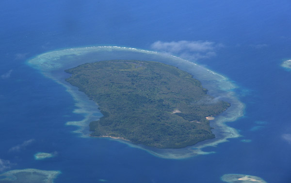
 Wala Island off the coast of Malekula, Vanuatu |
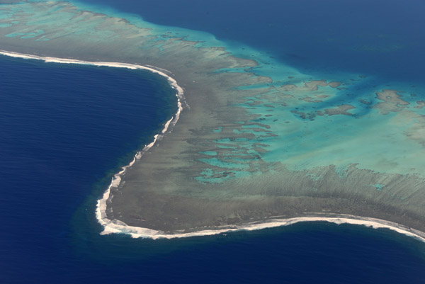
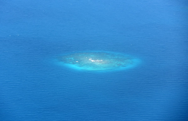
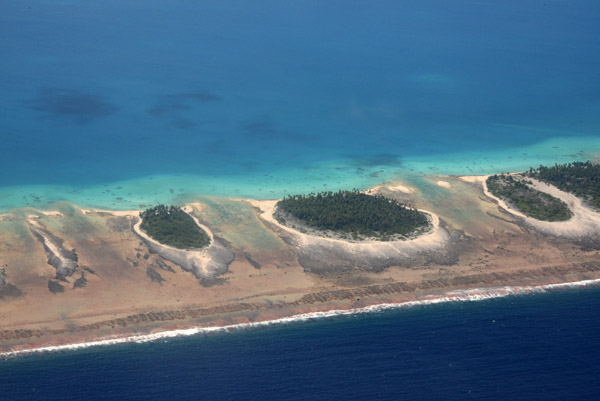
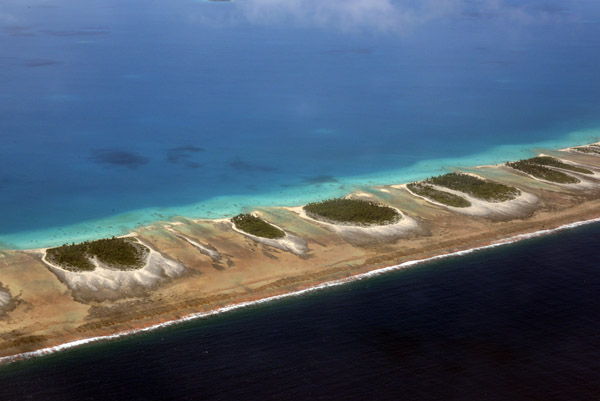
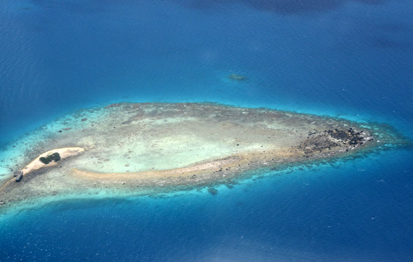
 Small island just south of Faroun, Malekula-Vanuatu |
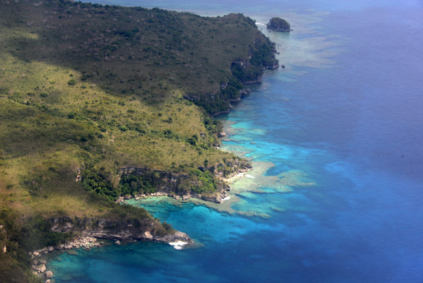
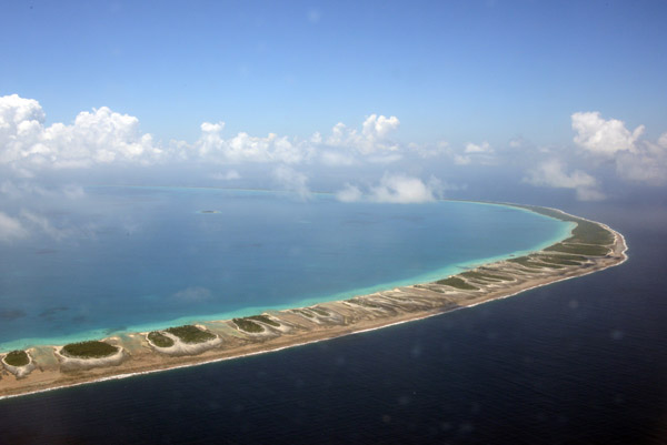
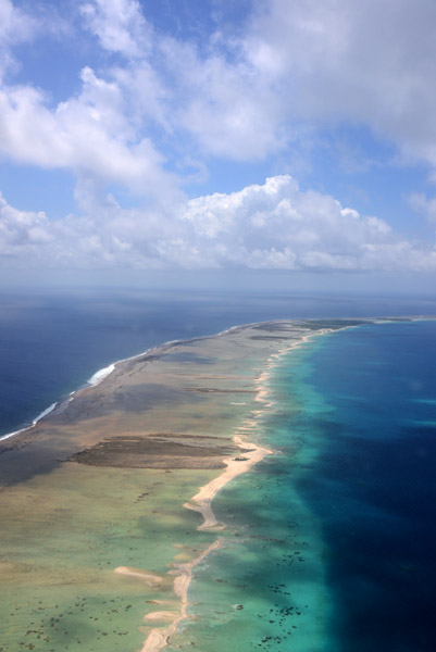
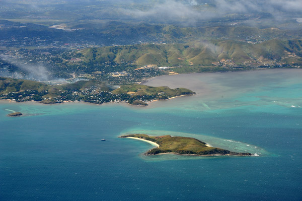
 Southern Malekula, Vanuatu |
 Small island just south of Faroun, Malekula-Vanuatu |
 Small island just south of Faroun, Malekula-Vanuatu |
 VanuatuOct12 0500.jpg |
 VanuatuOct12 0501.jpg |
 Moso Island forming the north side of Havana Harbor - Efat� |
 Moso Island forming the north side of Havana Harbor - Efat� |
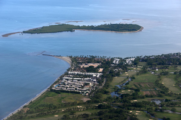
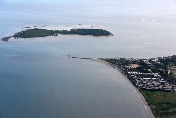
 Blue water and cliffs of Lelapa Island, Vanuatu |
 Blue water and cliffs of Lelapa Island, Vanuatu |
 Lelapa Island, Vanuatu |
 Lelapa Island, Vanuatu |
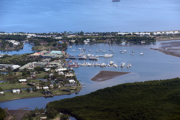
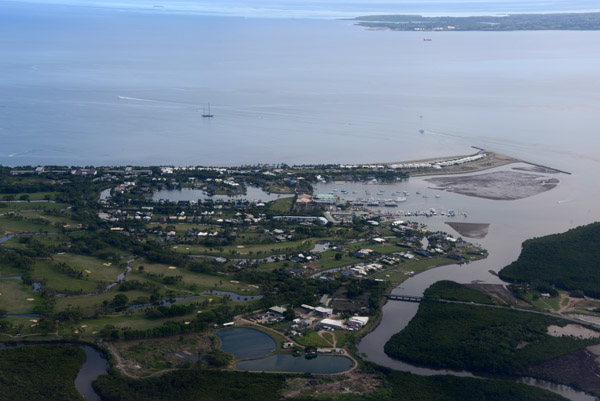
 Havannah Harbor Marina, Efat�-Vanuatu |
 Northwest Coast of Efat� |
 Efat� Ring Road, Mangaliliu-Vanuatu |
 Devil's Point Road, Efat�-Vanuatu |
 Efat� Ring Road, Mele Maat, Vanuatu |
 Hideaway Island, Mele Bay, Efat�-Vanuatu |
 Mele Village, Efat�-Vanuatu |
 Mele Village, Efat�-Vanuatu |
 Mele Village and Hideaway Island, Efat�-Vanuatu |
 Beneath the final approach for Runway 11 at Port Vila-Vanuatu (VLI) |
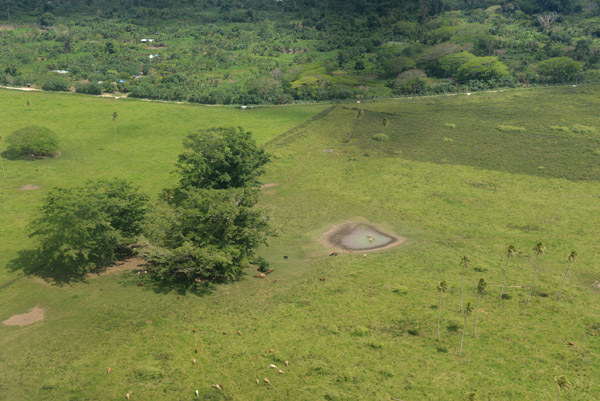 Cattle Ranch with a small waterhole, Efat�-Vanuatu |
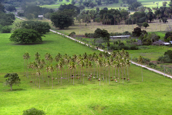 Cattle seeking shade beneath the palm trees, Efat�-Vanuatu |
 Takeoff from Port Vila for Tanna |
 Mountains of central Efat�-Vanuatu |
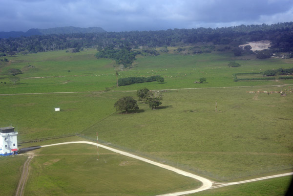
 Farmland, Efat�-Vanuatu |
 Enten Lagoon, Port Vila, Vanuatu |
 Efat� Ring Road heading east from Port Vila |
 Enten Lagoon, Port Vila, Vanuatu |
 South Coast of Efat�, Vanuatu |
 South Coast of Efat�, Vanuatu |
 North end of Tanna Island, Vanuatu |
 West coast of Tanna on descent for the airport |
 Blue Hole Beach, Tanna-Vanuatu |
 White Grass Ocean Resort, Tanna-Vanuatu |
 Takeoff from Tanna for the flight back to Port Vila |
 West Coast of Tanna, Vanuatu |
 West Coast of Tanna, Vanuatu |
 Rocky west coast of Tanna, Vanuatu |
 Rocky west coast of Tanna, Vanuatu |
 Tanna Airport, Vanuatu |
 Tanna Airport, Vanuatu |
 Tanna Evergreen Resort, Vanuatu |
 Tafea, Vanuatu |
 VanuatuOct12 1149.jpg |
 Tafea, Vanuatu |
 Southern Efat�, Vanuatu |
 Eratep Island, Vanuatu |
 Point on Efat�, Vanuatu |
 South of Port Vila, Efat�, Vanuatu |
 Bay south of Port Vila, Vanuatu |
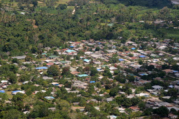
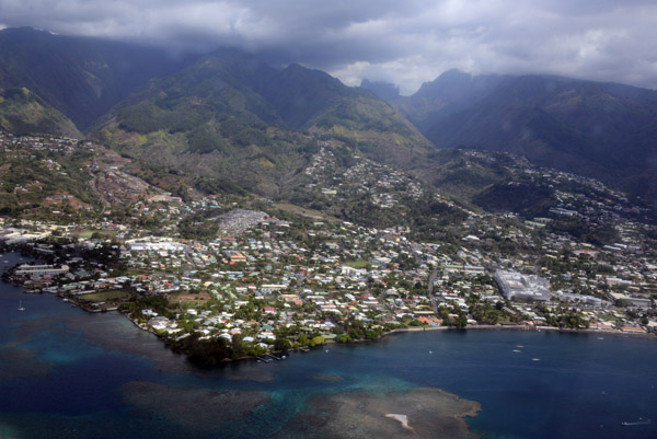
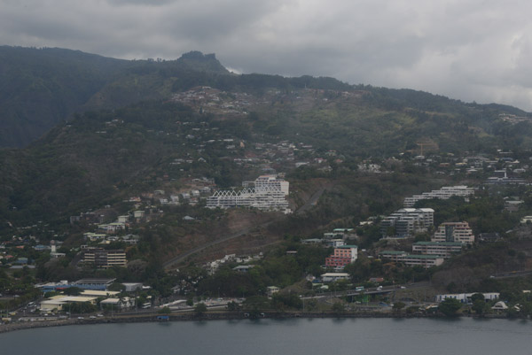
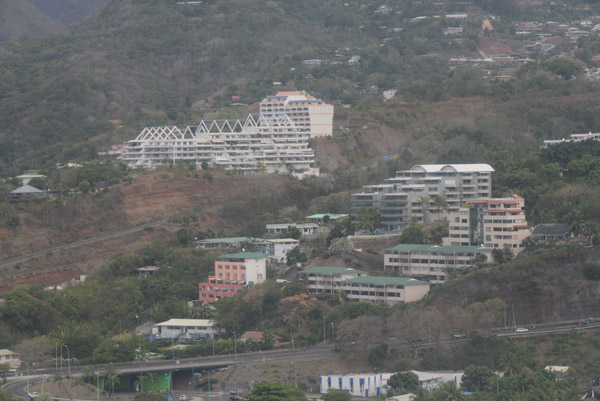
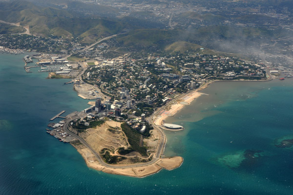
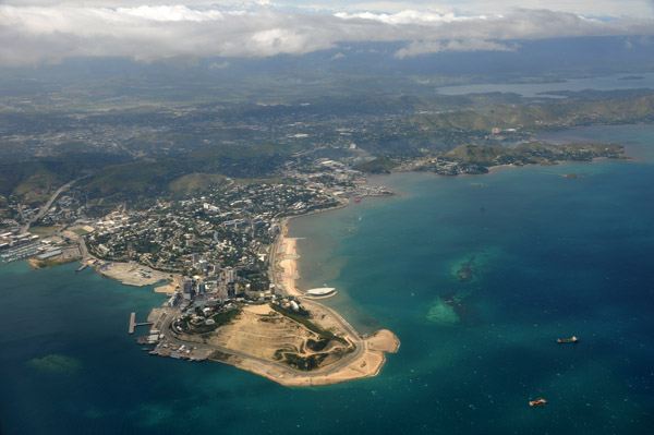
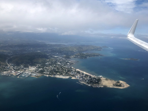
 Port Vila, Vanuatu |
 Port Vila, Vanuatu |
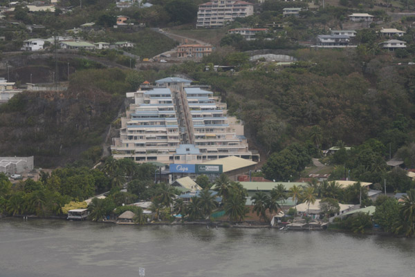
 Erakor Island Resort, Vanuatu |
 The lagoon south of Port Vila, Efat�, Vanuatu |
 Le Lagon Resort, Efat�, Vanuatu |
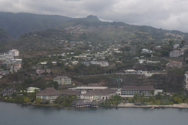
 Port Vila, Vanuatu |
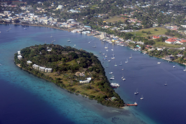 Iririki Resort and the Port Vila Waterfront, Vanuatu |
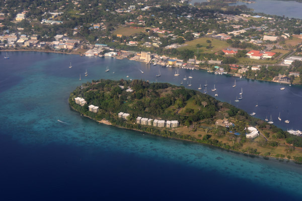 Iririki Resort and the Port Vila Waterfront, Vanuatu |
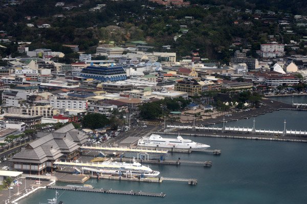
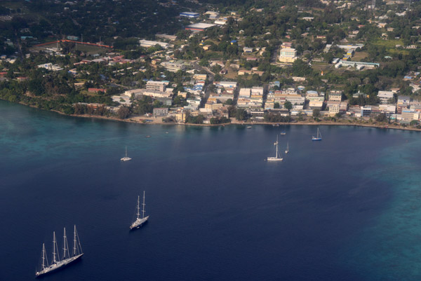 Port Vila Waterfront, Vanuatu |
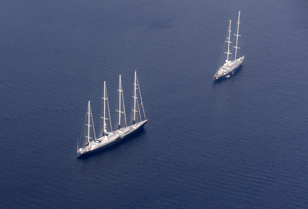 Aerial view of the superyacht Phocea, Vila Bay, Efat�-Vanuatu |
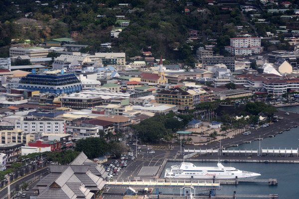
 Downtown Port Vila, Vanuatu |
 Port Vila, Vanuatu |
 Port Vila, Vanuatu |
 Port Vila, Vanuatu |
 Sandbar at the river outlet near the airport, Port Vila |
 Sandbar at the river outlet near the airport, Port Vila |
 Efat� Ring Road leading to Mele |
 Jungle on the edge of Port Vila |
 Efat� River, Port Vila |
 FijiOct12 1092.jpg |
 FijiOct12 1093.jpg |
 FijiOct12 1094.jpg |
 FijiOct12 1095.jpg |
 FijiOct12 1096.jpg |
 FijiOct12 1097.jpg |
 FijiOct12 1098.jpg |
 FijiOct12 1099.jpg |
 FijiOct12 1100.jpg |
 FijiOct12 1101.jpg |
 FijiOct12 1102.jpg |
 FijiOct12 1103.jpg |
 FijiOct12 1104.jpg |
 FijiOct12 1105.jpg |
 FijiOct12 1107.jpg |
 FijiOct12 1108.jpg |
 FijiOct12 1109.jpg |
 FijiOct12 1110.jpg |
 FijiOct12 1111.jpg |
 FijiOct12 1112.jpg |
 FijiOct12 1113.jpg |
 FijiOct12 1114.jpg |
 FijiOct12 1115.jpg |
 FijiOct12 1116.jpg |
 FijiOct12 1117.jpg |
 FijiOct12 1118.jpg |
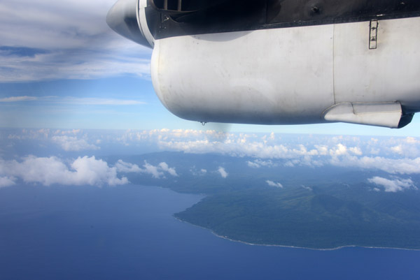
 Airborne from Tahiti |
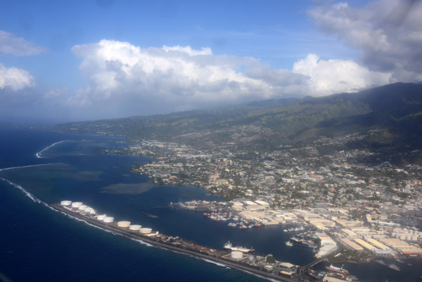
 Papeete, Tahiti |
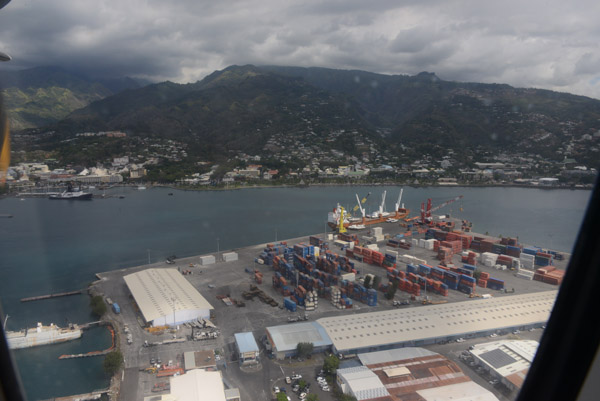
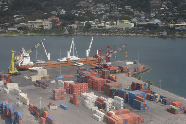
 Port of Papeete, Tahiti |
 Papeete is the capital of French Polynesia |
 Papeete, Tahiti |
 Tahiti is the main island of French Polynesia |
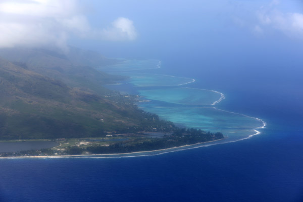
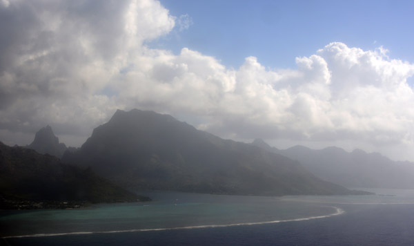 The island of Moorea lies just 17km west of Tahiti |
 Arriving in Moorea by air |
 Moorea's reef lies 700m offshore in places |
 Shallow waters off Moorea |
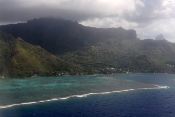
 Moorea |
 Approach to Moorea Airport |
 Moorea, French Polynesia |
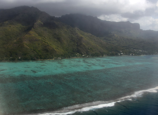
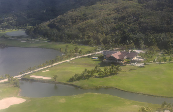 Moorea Green Pearl Golf Course |
 Northeast coast of Moorea |
 Northeast coast of Moorea |
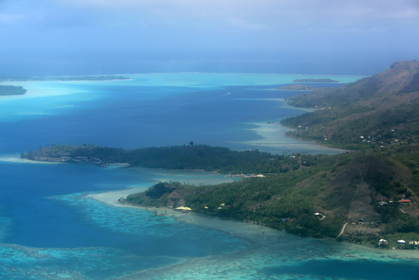
 Overflight of Raiatea enrolee to Bora Bora |
 The sister islands of Raiatea and Taha'a share a single lagoon |
 Raiatea and Taha'a |
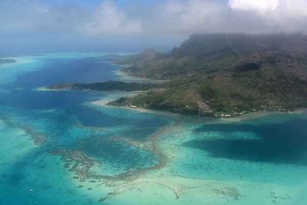
 Taha'a Private Island and Spa off the west coast of Taha'a |
 Taha'a, French Polynesia |
 Taha'a Lagoon |
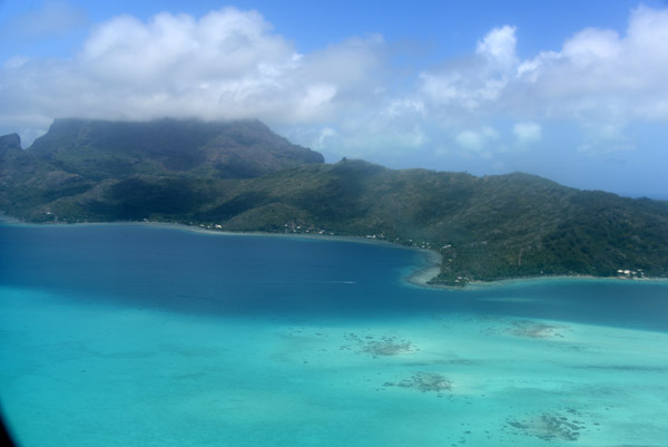
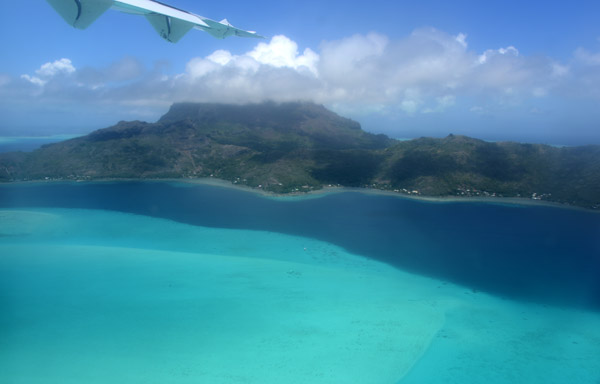
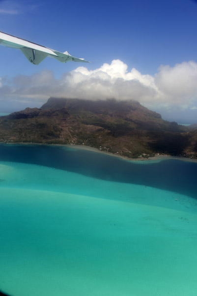
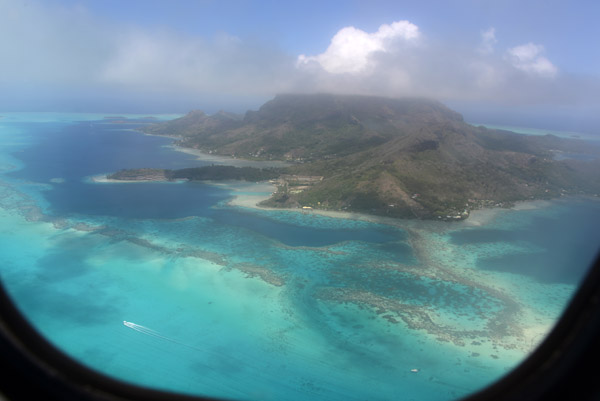
 Bora Bora comes into sight |
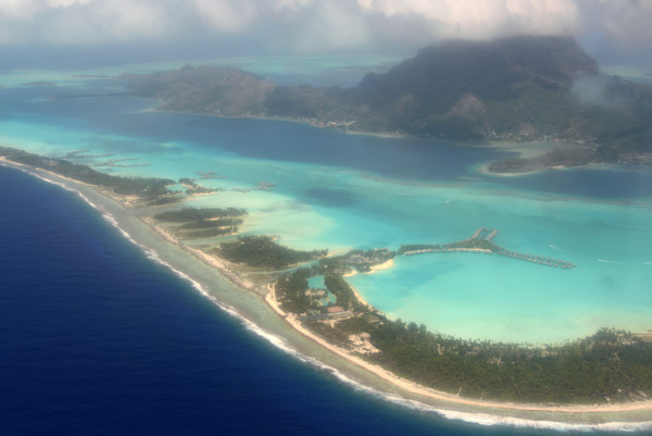
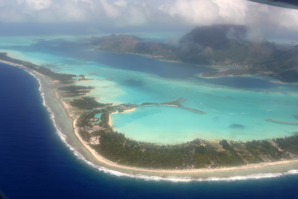
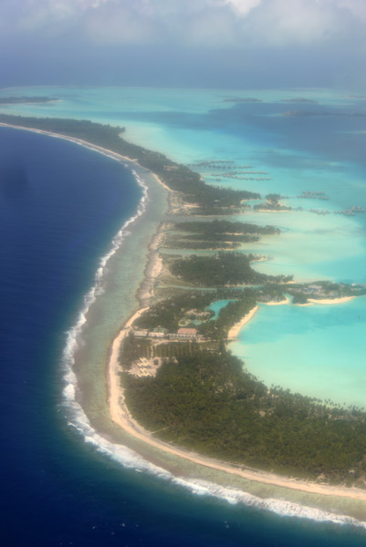
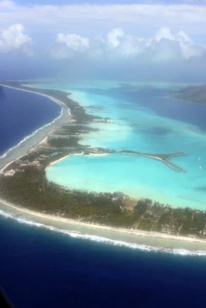
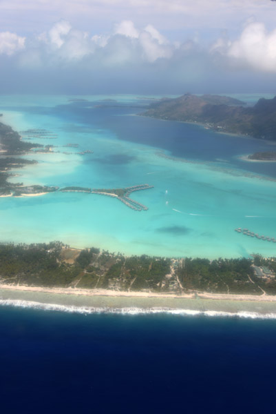
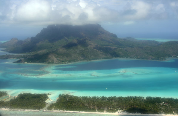
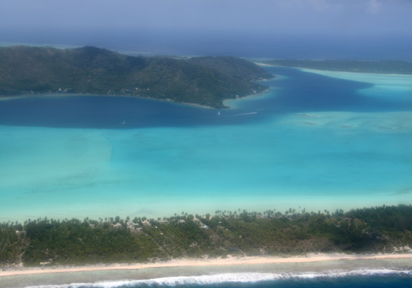
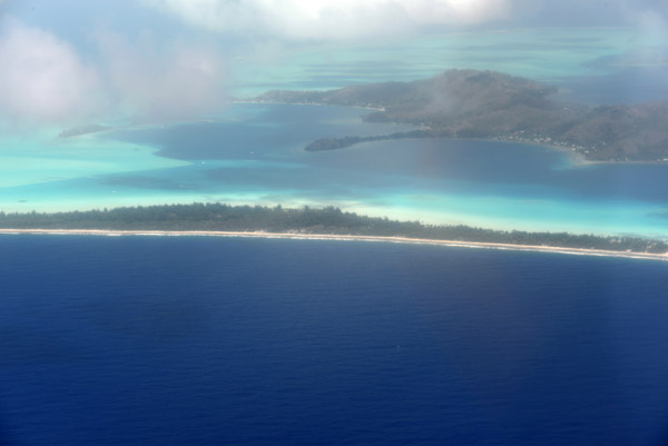 Bora Bora, French Polynesia |
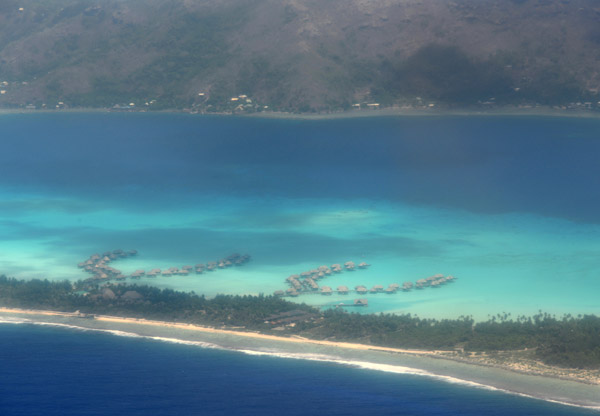 Intercontinental, Bora Bora |
 Le Meridien, Bora Bora |
 St Regis Resort, Bora Bora |
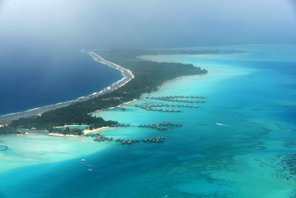
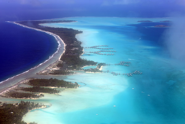
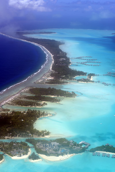
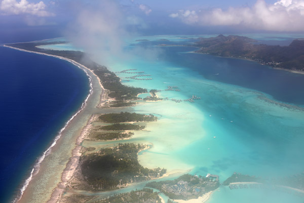
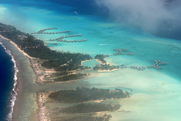
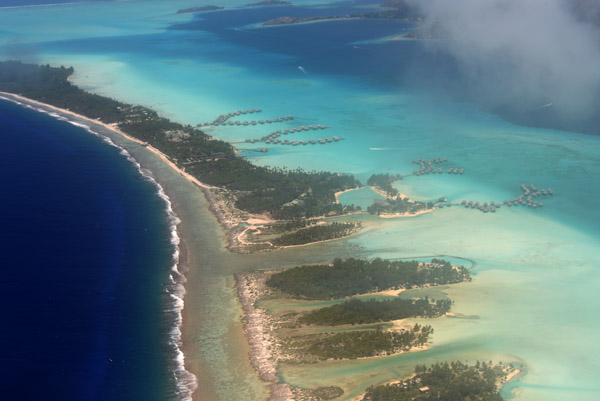
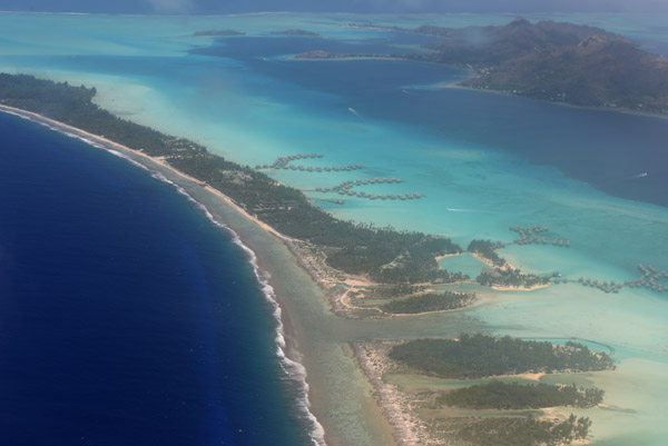
 The eastern barrier islands of Bora Bora with the Intercontinental, Le Meridien and the St. Regis Resorts |
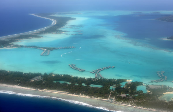
 Northeastern lagoon, Bora Bora |
 Eastern motus (barrier islands), Bora Bora |
 The deep blue sea surrounds the turquoise lagoon of Bora Bora |
 NE Lagoon, Bora Bora |
 Four Seasons, Bora Bora |
 Four Seasons, Bora Bora |
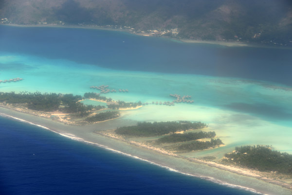
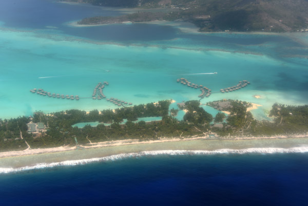
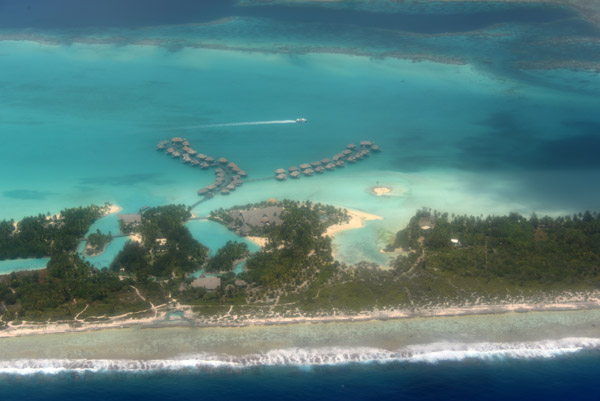
 Most of the major resorts are on the barrier islands rather on Bora Bora itself |
 Polynesians call these small barrier islands "Motu" |
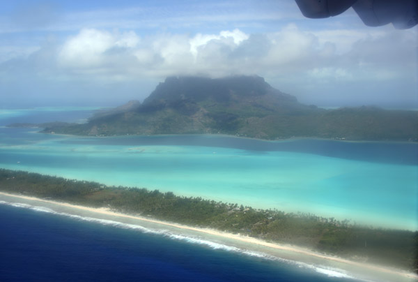
 The main island of Bora Bora enshrouded in cloud and surrounded by a turquoise lagoon |
 Northern lagoon, Bora Bora |
 Bora Bora, French Polynesia |
 Sit on the left side inbound from Tahiti or Moorea |
 Bora Bora Airport (BOB/NTTB), French Polynesia |
 Bora Bora airport was constructed in 1943 to support the US Military during WWII |
 Bora Bora's airport, built on a motu, has a runway only 1500m (4900 ft) long, so intercontinental flights must land in Tahiti |
 Abeam the numbers, Runway 11, Bora Bora |
 Believe it or not, they call that Runway 17, 3000 feet |
 Short Final, Runway 11, Bora Bora |
 Liftoff from Bora Bora - sit on the right side |
 Bora Bora, French Polynesia |
 Departing runway 11, Bora Bora |
 Bora Bora, French Polynesia |
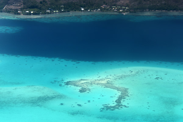 Boat captains in the lagoon had better watch out for the shallow reefs |
 East coast of Bora Bora where my hotel was located |
 East coast of Bora Bora |
 Bora Bora, French Polynesia |
 Goodbye Bora Bora |
 Out the side window, Bora Bora |
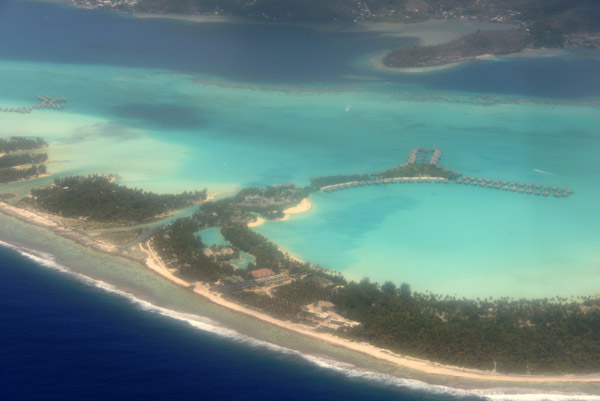
 Le Meridien and Intercontinental, Bora Bora |
 Le Meridien and Intercontinental, Bora Bora |
 Eastern barrier islands, Bora Bora |
 Bora Bora, French Polynesia |
 Le Meridien and Intercontinental, Bora Bora |
 Eastern barrier islands, Bora Bora |
 Bora Bora, French Polynesia |
 Bora Bora, French Polynesia |
 Bora Bora, French Polynesia |
 Climbing away from Bora Bora |
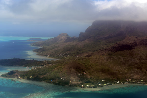
 Taha'a, French Polynesia |
 Taha'a, a similar appearance to Bora Bora, but much less developed |
 Taha'a, French Polynesia |
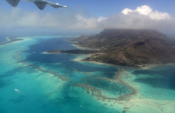
 Taha'a, French Polynesia |
 Taha'a, French Polynesia |
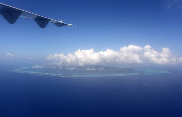
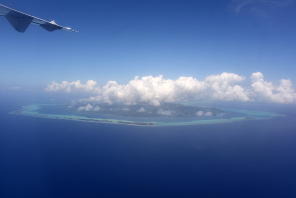
 Passing over Tikehau bound for Rangiroa |
 These northern islands are true atolls with no remnants of the high volcanoes remaining above the lagoon |
 Tikehau, Tuamotu Archipelago, French Polynesia |
 Tikehau, French Polynesia |
 Tikehau, French Polynesia |
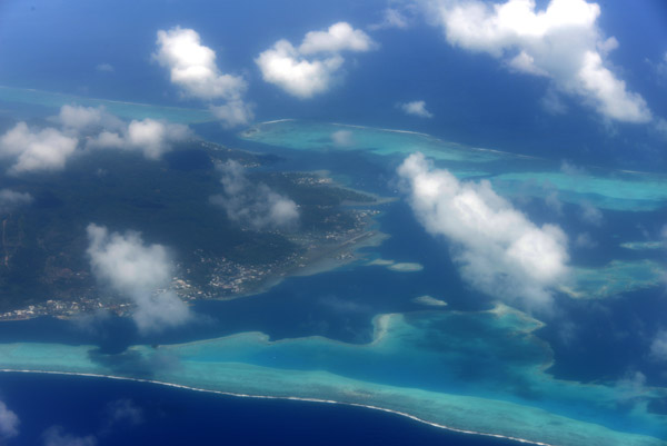
 Rangiroa's massive lagoon, 1446 square km |
 A small reef inside Rangiroa's lagoon |
 Rangiroa Lagoon |
 Rangiroa Airport, French Polynesia (RGI/NTTG) - 2100m |
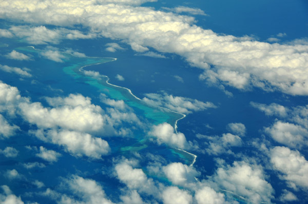
 Avatoru Pass, Rangiroa |
 Turning final over the Avatoru Pass, Rangiroa |
 Large motu on the west side of the Avatoru Pass, Rangiroa |
 Avatoru Pass, Rangiroa |
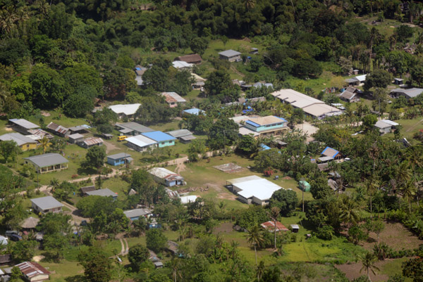
 Avatoru, the main settlement on Rangiroa |
 Avatoru, French Polynesia - population 700 |
 Turquoise waters of Rangiroa Lagoon, French Polynesia |
 Rangiroa, French Polynesia |
 Rangiroa, French Polynesia |
 The main island of Rangiroa is actually divided into many small motus |
 Landing in Rangiroa |
 Rangiroa, French Polynesia |
 Rangiroa, French Polynesia |
 Coll�ge de Avatoru, Rangiroa |
 Departing Rangiroa for Papeete via Tikehau |
 Apron at Rangiroa with an Air Tahiti ATR |
 Rangiroa Lagoon, French Polynesia |
 The atoll of Rangiroa seems barely wide enough for the airport |
 Avatoru Pass, Rangiroa |
 Rangiroa, French Polynesia |
 West side of Rangiroa Lagoon |
 Rangiroa, French Polynesia |
 Rangiroa, French Polynesia |
 Rangiroa, French Polynesia |
 Rangiroa, French Polynesia |
 Rangiroa, French Polynesia |
 Rangiroa, French Polynesia |
 Le Lagun Bleu, Rangiroa |
 The Blue Lagoon, Rangiroa |
 The Blue Lagoon, Rangiroa |
 The Blue Lagoon, Rangiroa |
 The Blue Lagoon, Rangiroa |
 Le Lagun Bleu, Rangiroa |
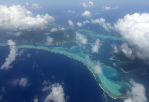
 Only 13 km of open ocean separates Rangiroa from the neighbouring atoll of Tikehau to the west |
 Tikehau, French Polynesia |
 Tikehau, French Polynesia |
 Tikehau, French Polynesia |
 Tikehau, French Polynesia |
 Tikehau, French Polynesia |
 Tikehau, French Polynesia |
 Tikehau Lagoon |
 Tikehau Lagoon |
 Tikehau Lagoon |
 Tikehau, French Polynesia |
 Tikehau, French Polynesia |
 Tikehau, French Polynesia |
 Landing at Tikehau for a brief stop enroute to Papeete |
 Tikehau, French Polynesia |
 Tikehau, French Polynesia |
 Tikehau, French Polynesia |
 Tikehau, French Polynesia |
 Tikehau, French Polynesia |
 Makatea - Tuamotu Archipelago, French Polynesia |
 Tahiti comes back into view |
 Tahiti, French Polynesia |
 Point Venus with its black sand beaches, Tahiti |
 North coast of mountainous Tahiti |
 Matavai Bay, Tahiti |
 Pīra'e, Tahiti |
 'Ārue, Tahiti |
 'Ārue, Tahiti |
 Nearing Papeete on approach to Tahiti's Faaa Airport |
 Matavai Bay, Tahiti |
 Tahiti, French Polynesia |
 Tahiti, French Polynesia |
 Tahiti, French Polynesia |
 Tahiti, French Polynesia |
 Suburban Papeete, north shore of Tahiti |
 Suburban Papeete, north shore of Tahiti |
 Pīra'e, Tahiti |
 Ta'aone Hospital, Pīra'e, Tahiti |
 Ta'aone Hospital, Pīra'e, Tahiti |
 Taunoa, suburban Papeete |
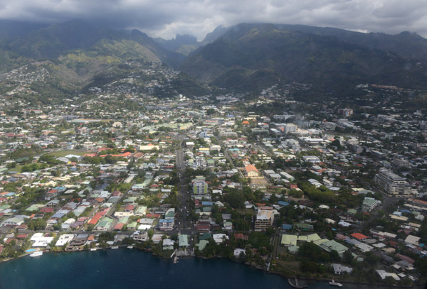
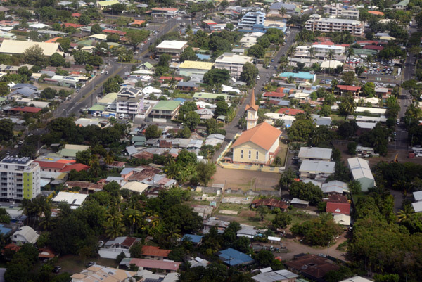
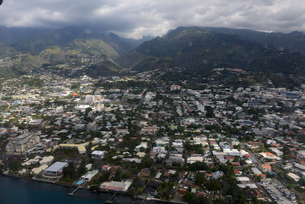
 Papeete, Tahiti |
 Papeete, Tahiti |
 Papeete, Tahiti |
 Papeete, Tahiti |
 Papeete, Tahiti |
 Papeete, Tahiti |
 Papeete, Tahiti |
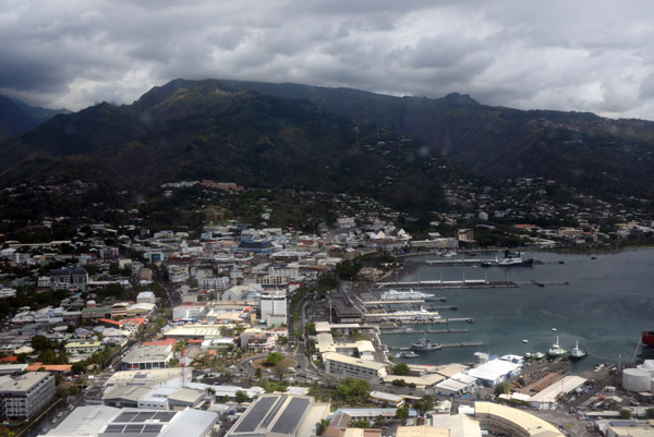
 Port of Papeete, Tahiti |
 Port of Papeete, Tahiti |
 Port of Papeete, Tahiti |
 Papeete, Tahiti |
 Papeete, Tahiti |
 Papeete, Tahiti |
 Papeete, Tahiti |
 Final Approach runway 22, Faaa Airport, Tahiti |
 West end of New Caledonia |
 New Caledonia |
 New Caledonia |
 New Caledonia |
 New Caledonia |
 New Caledonia |
 New Caledonia |
 New Caledonia |
 NewCaledonia Sep19 17.jpg |
 NewCaledonia |
 NewCaledonia Sep19 19.jpg |
 Arrival into Port Moresby, Papua New Guinea |
 iPNG Jun19 633.jpg |
 iPNG Jun19 946.jpg |
 PNG Jun19 0003.jpg |
 PNG Jun19 0008.jpg |
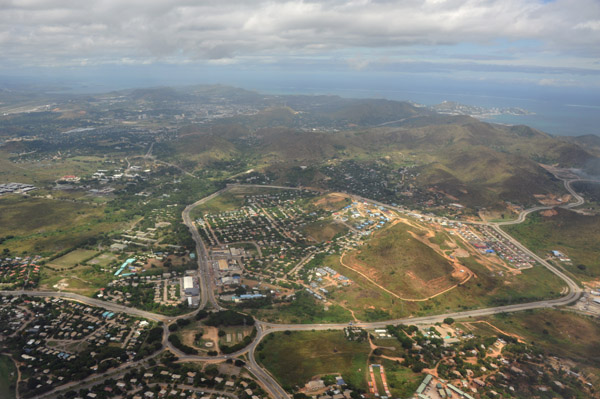
 Port Moresby, Papua New Guinea |
 Port Moresby, Papua New Guinea |
 Port Moresby, Papua New Guinea |
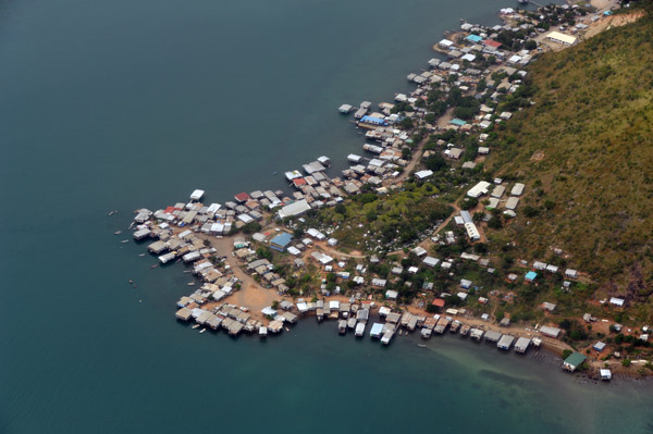
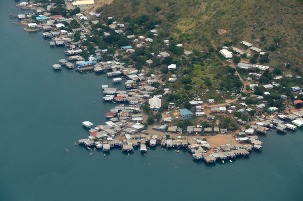
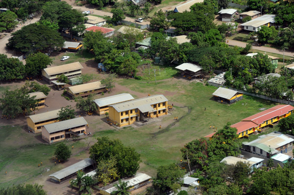
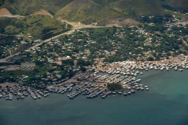 Hanuabada, Port Moresby, PNG |
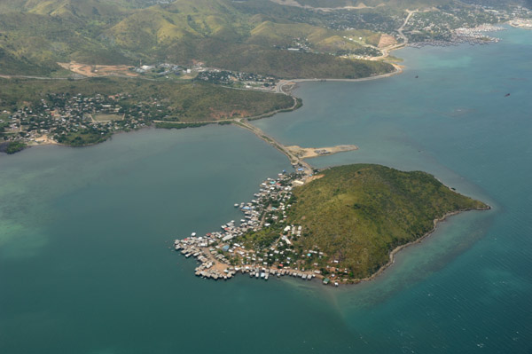 Tatana Island, Port Moresby, Papua New Guinea |
 Tatana Island, Port Moresby, Papua New Guinea |
 Tatana Island, Port Moresby, Papua New Guinea |
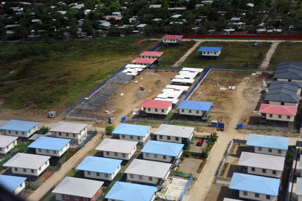
 Rainbow Heights, Port Moresby, PNG |
 Port Moresby, Papua New Guinea |
 Port Moresby, Papua New Guinea |
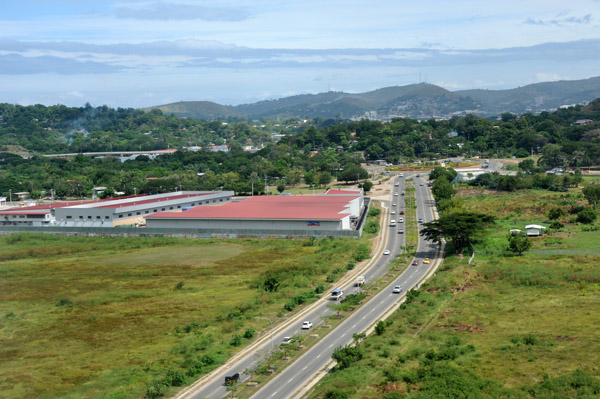 Hubert Murray Highway, Port Moresby PNG |
 Hoskings, West New Britain, Papua New Guinea |
 Kimbe Bay, New Britain, Papua New Guinea |
 New Britain, Papua New Guinea |
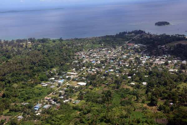
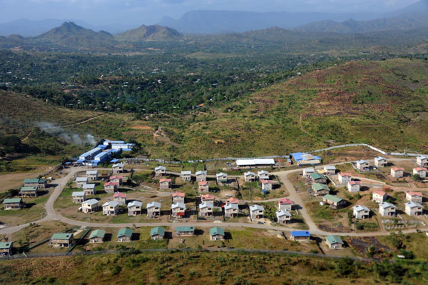
 Kokopo, East New Britain, Papua New Guinea |
 Kokopo, East New Britain, Papua New Guinea |
 Kokopo, East New Britain, Papua New Guinea |
 Kokopo, East New Britain, Papua New Guinea |
 Departing Tokua Airport, East New Britain, PNG |
 East New Britain, Papua New Guinea |
 Port Moresby, Papua New Guinea |
 Bootless Inlet, Port Moresby, Papua New Guinea |
 Bootless Inlet, Port Moresby, Papua New Guinea |
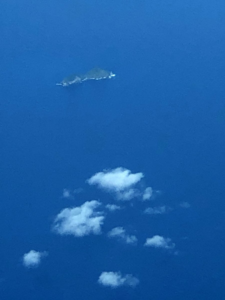 Fatutaka (S11 54 26/E170 11 18) - Santa Cruz Archipelago, Solomon Islands |
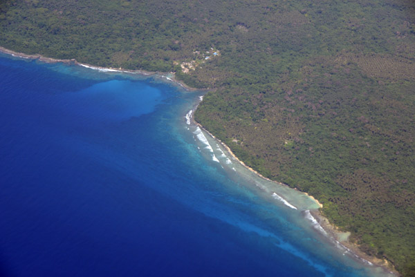
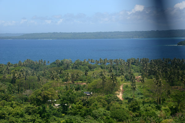
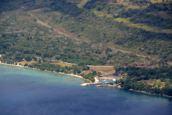
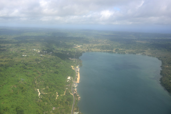
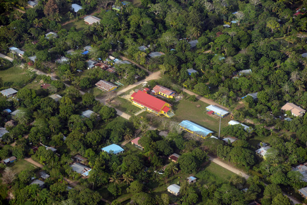
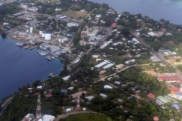
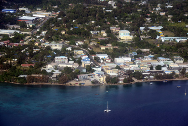
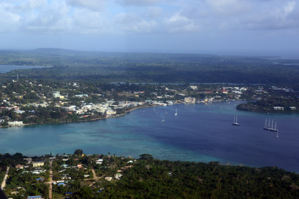
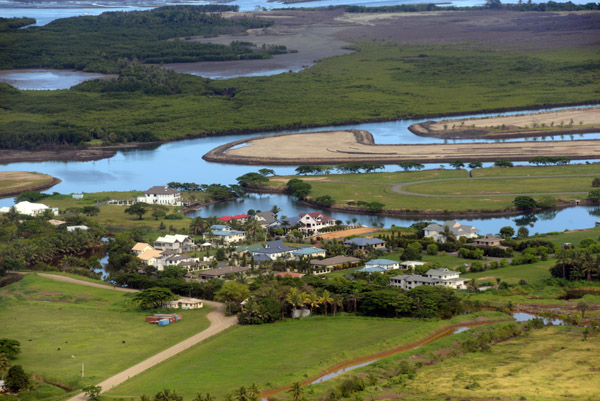
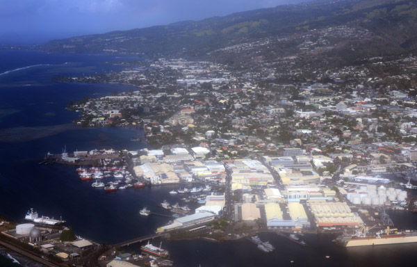
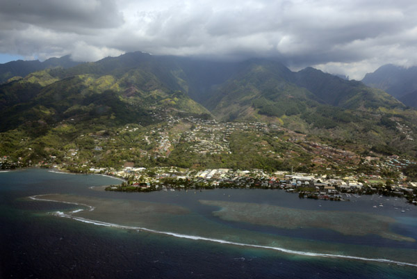
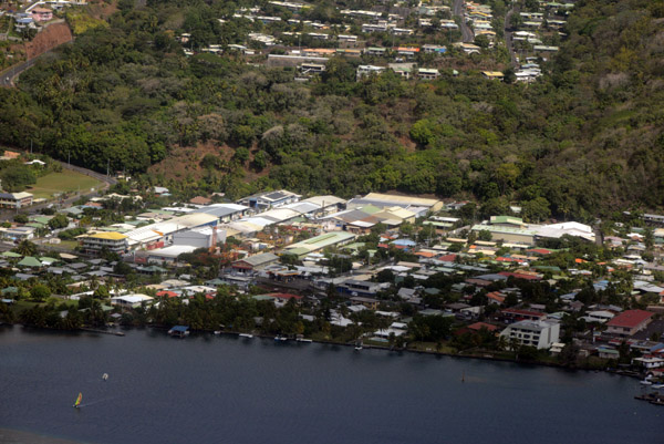
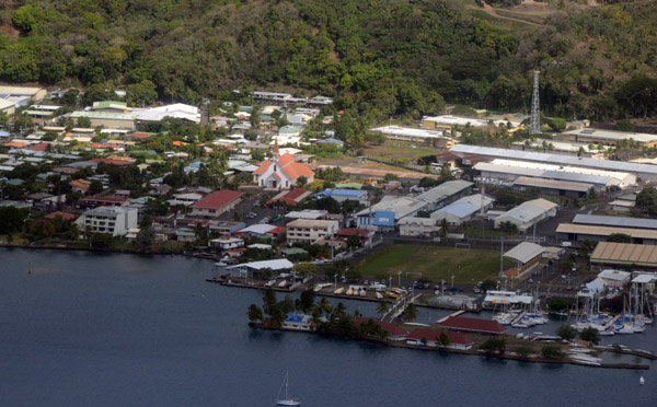
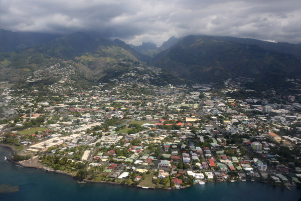
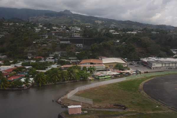
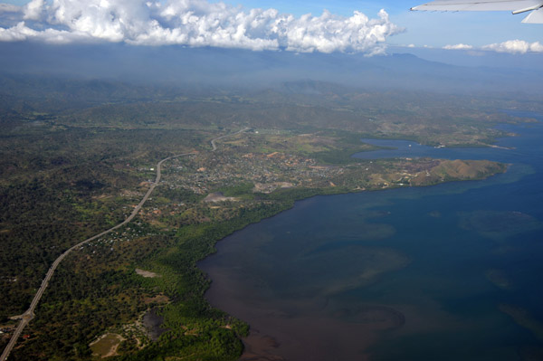
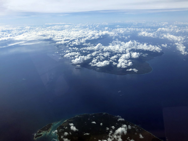
 Luganville, Espiritu Santo, Vanuatu |
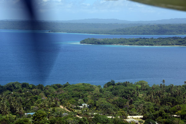
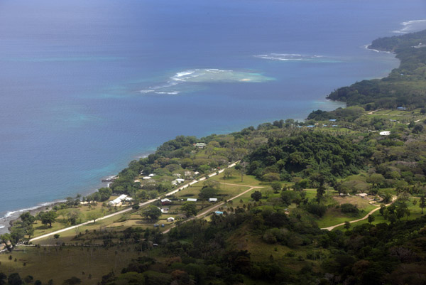
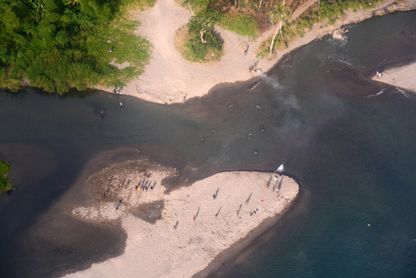
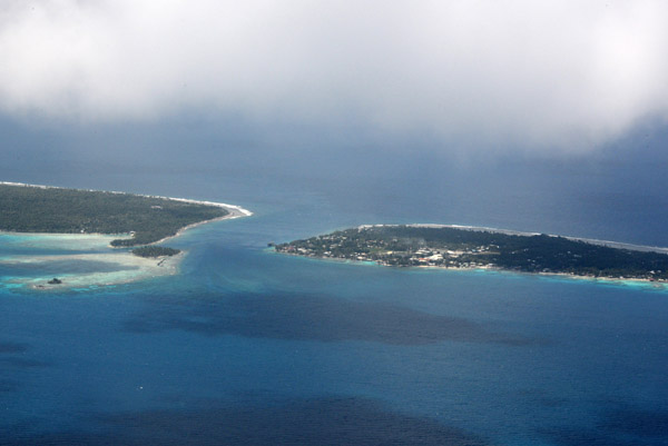
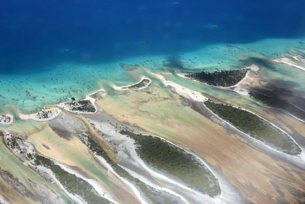
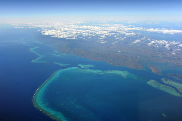
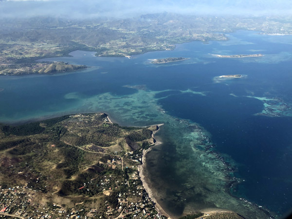
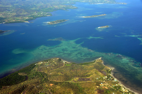
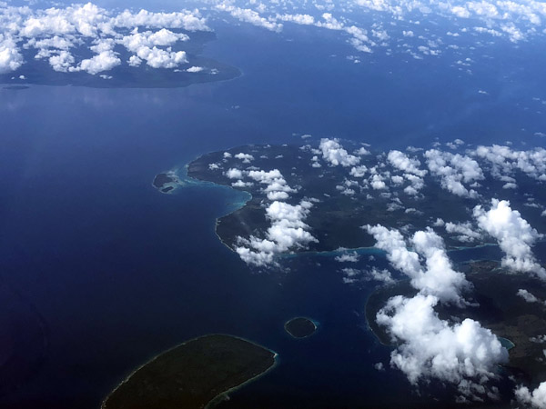
 Channel between Malo and Malampa, Vanuatu |
| comment | share |